
Service area · TN
Gravel, Stone and Soil Delivery in Johnson City, TN
Bulk gravel, crushed stone, sand, soil and mulch delivered across Johnson City, TN, priced by the load for your ZIP.
- Min. order
- 2 tons or 2 yd³
- Area
- Johnson City and nearby ZIPs
- From
- $440 delivered
Every price below is the delivered total.
Gravel Valet delivers bulk gravel, crushed stone, sand, soil and mulch to homes and job sites in Johnson City. Enter a ZIP in the box above for the loads that reach your street.
Many lots here sit on steep hillsides, and the notes below explain what that means for a drive, a wall or a bed, using the soil survey, the geologic map, a NOAA gauge and Census counts for ZIP 37601.
Plan
How much do you need?
Work out your material
In stock
Materials available in Johnson City
Every price is the delivered total for 2 tons or yards, in whole dollars.
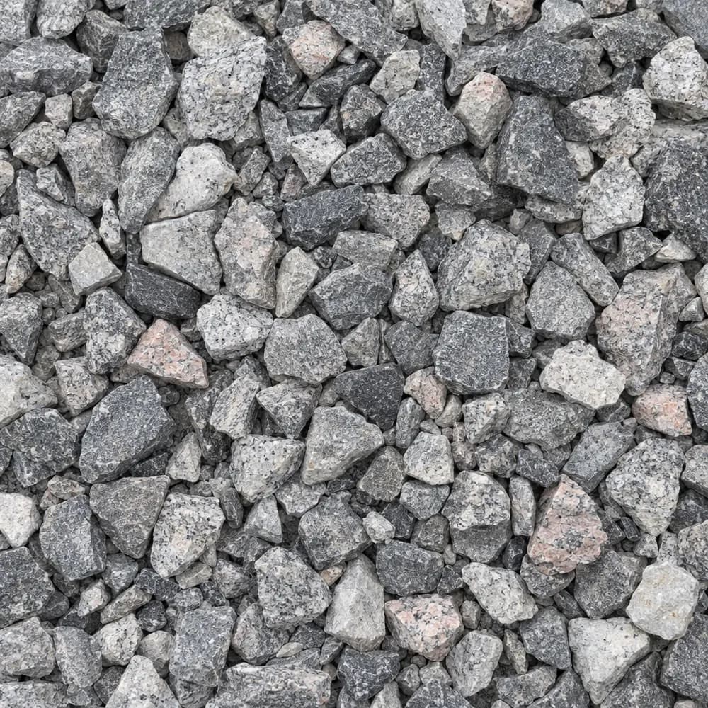 From$5352 ton delivered
#57 Crushed Stone
Gravel and Crushed Stone- Size
- 3/4 to 1 inch
- Weight
- 2,700 lb/yd³
- Color
- Gray
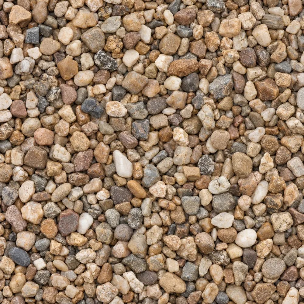 From$7912 ton delivered
Pea Gravel
Driveway and Landscaping- Size
- 3/8 inch
- Weight
- 2,600 lb/yd³
- Color
- Mixed tan and brown
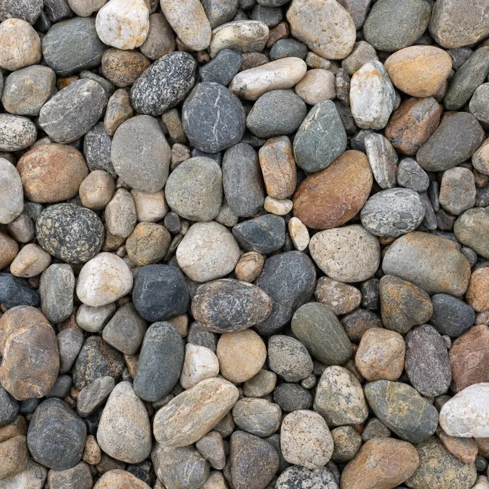 From$7702 ton delivered
River Rock
Driveway and Landscaping- Size
- 1 to 3 inches
- Weight
- 2,600 lb/yd³
- Color
- Mixed earth tones
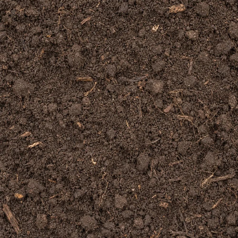 From$5472 ton delivered
Topsoil
Soil and Fill- Size
- Screened
- Weight
- 2,200 lb/yd³
- Color
- Dark brown
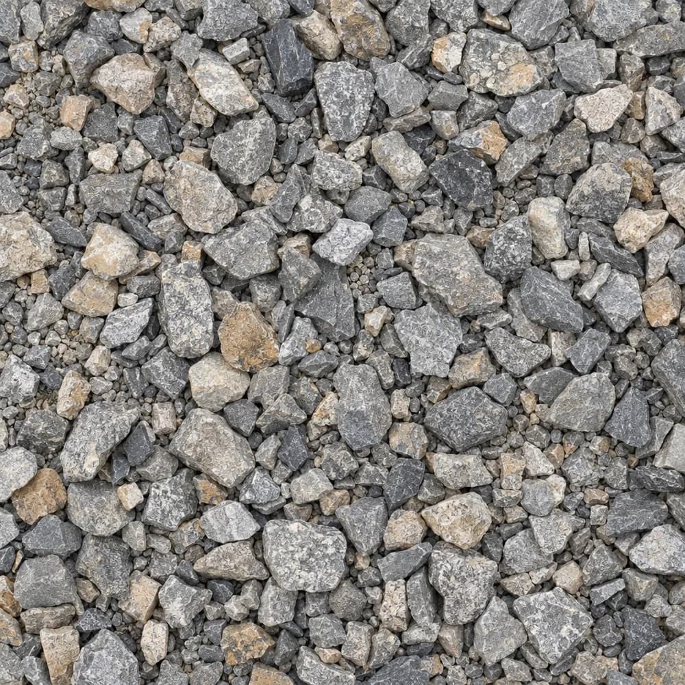 From$5342 ton delivered
Driveway Gravel
Driveway and Landscaping- Size
- 3/4 inch clean crushed
- Weight
- 2,700 lb/yd³
- Color
- Gray
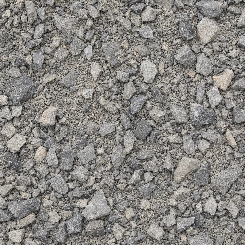 From$5592 ton delivered
Road Base
Drainage and Base- Size
- 3/4 inch minus
- Weight
- 2,800 lb/yd³
- Color
- Gray
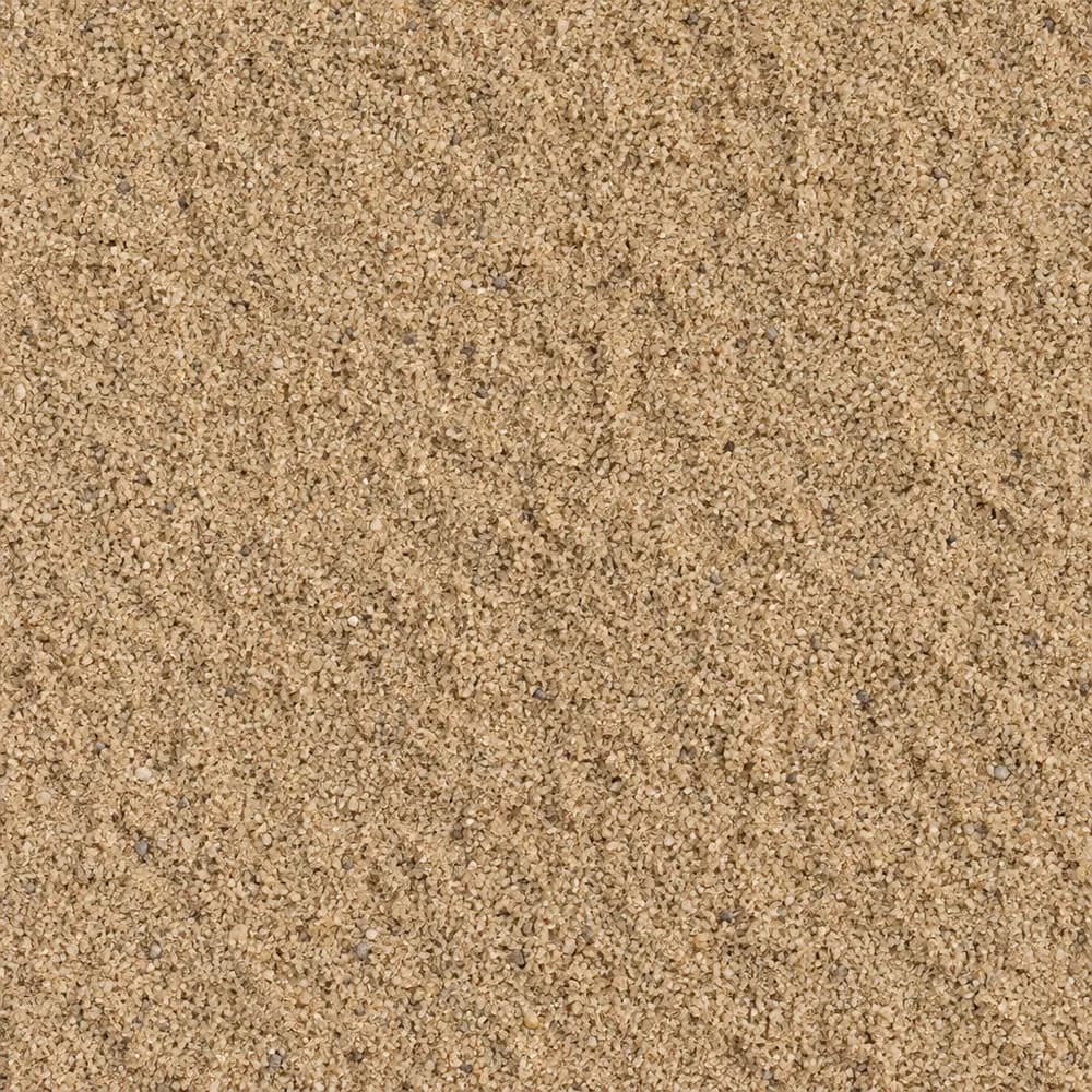 From$5302 ton delivered
Mason Sand
Sand- Size
- Fine
- Weight
- 2,700 lb/yd³
- Color
- Tan
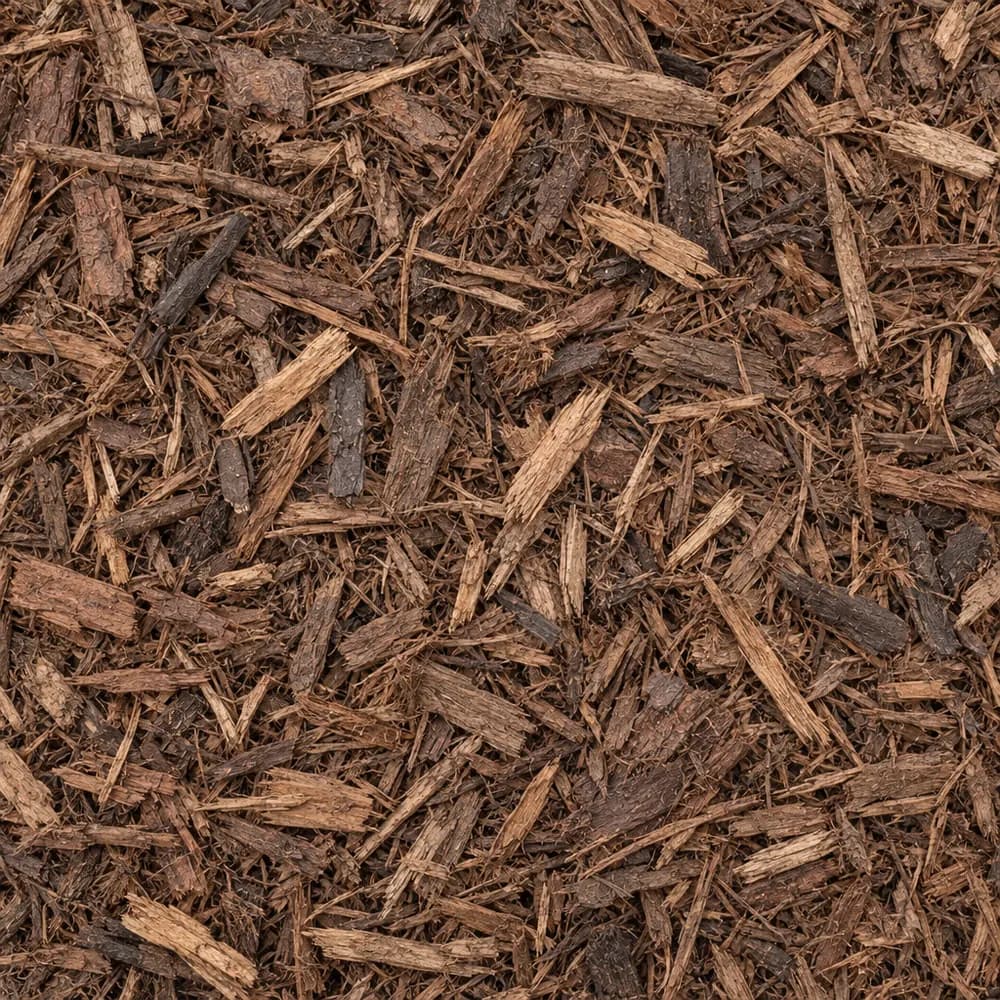 From$7212 yd delivered
Brown Shredded Mulch
Mulch and Wood- Size
- Double shredded
- Weight
- 800 lb/yd³
- Color
- Brown
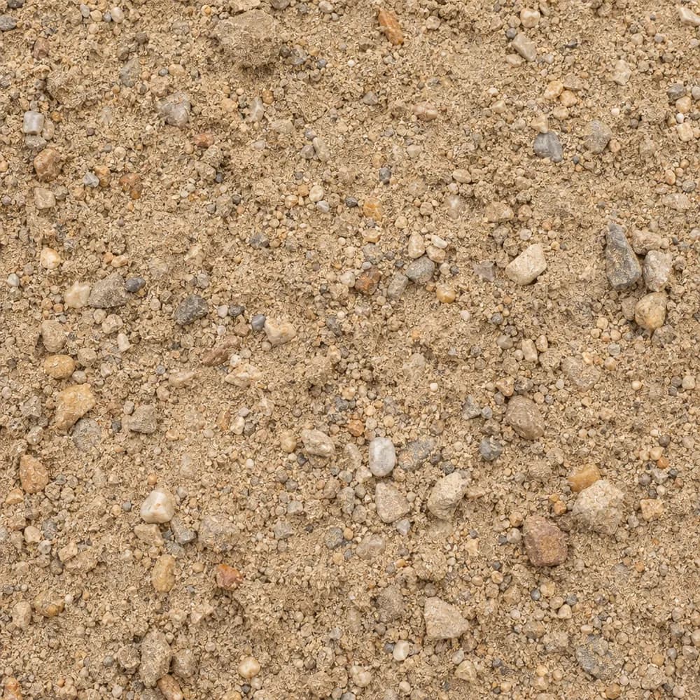 From$4402 ton delivered
Fill Sand
Sand- Size
- Unscreened
- Weight
- 2,700 lb/yd³
- Color
- Tan
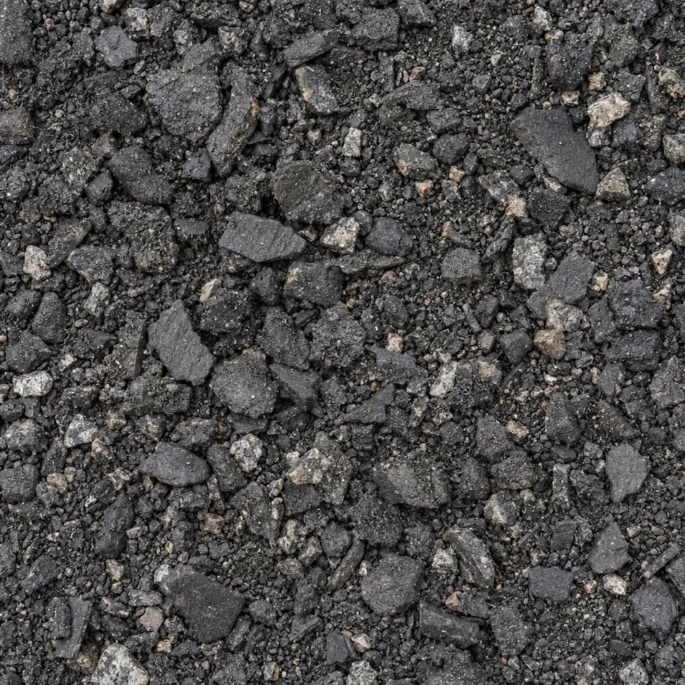 From$4462 ton delivered
Asphalt Millings
Driveway and Landscaping- Size
- 1 inch minus
- Weight
- 2,900 lb/yd³
- Color
- Black
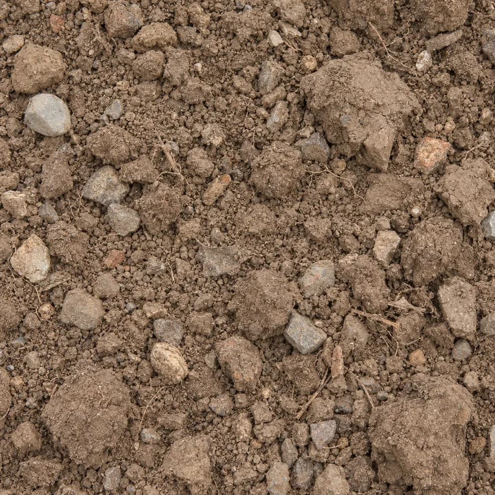 From$4592 ton delivered
Fill Dirt
Soil and Fill- Size
- Unscreened
- Weight
- 2,400 lb/yd³
- Color
- Brown
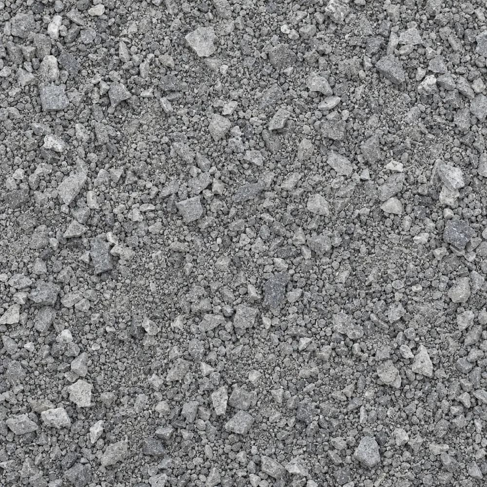 From$4672 ton delivered
Stone Dust Screenings
Drainage and Base- Size
- 1/4 inch and fines
- Weight
- 2,800 lb/yd³
- Color
- Gray
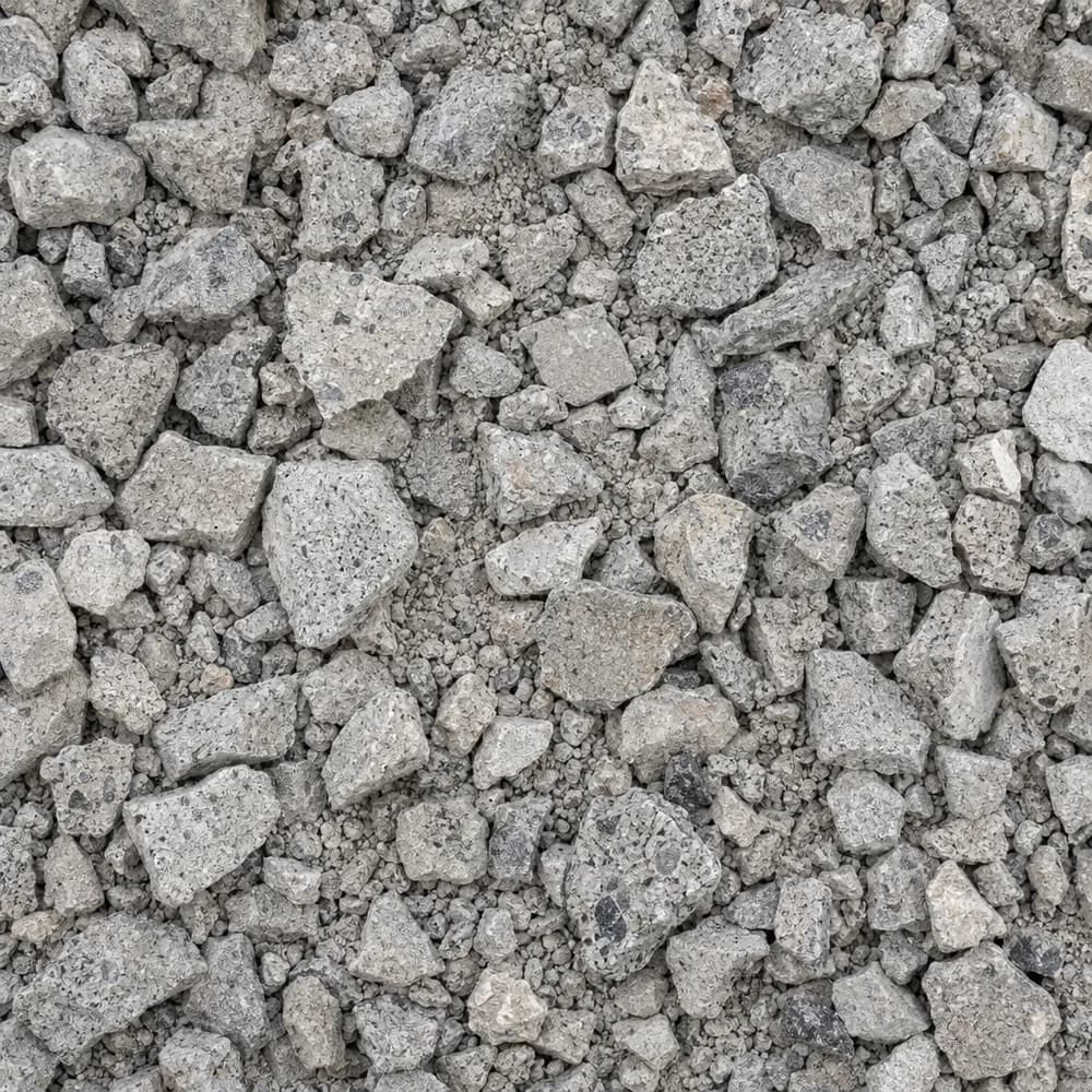 From$5192 ton delivered
Crushed Concrete
Driveway and Landscaping- Size
- 3/4 inch minus
- Weight
- 2,600 lb/yd³
- Color
- Light gray
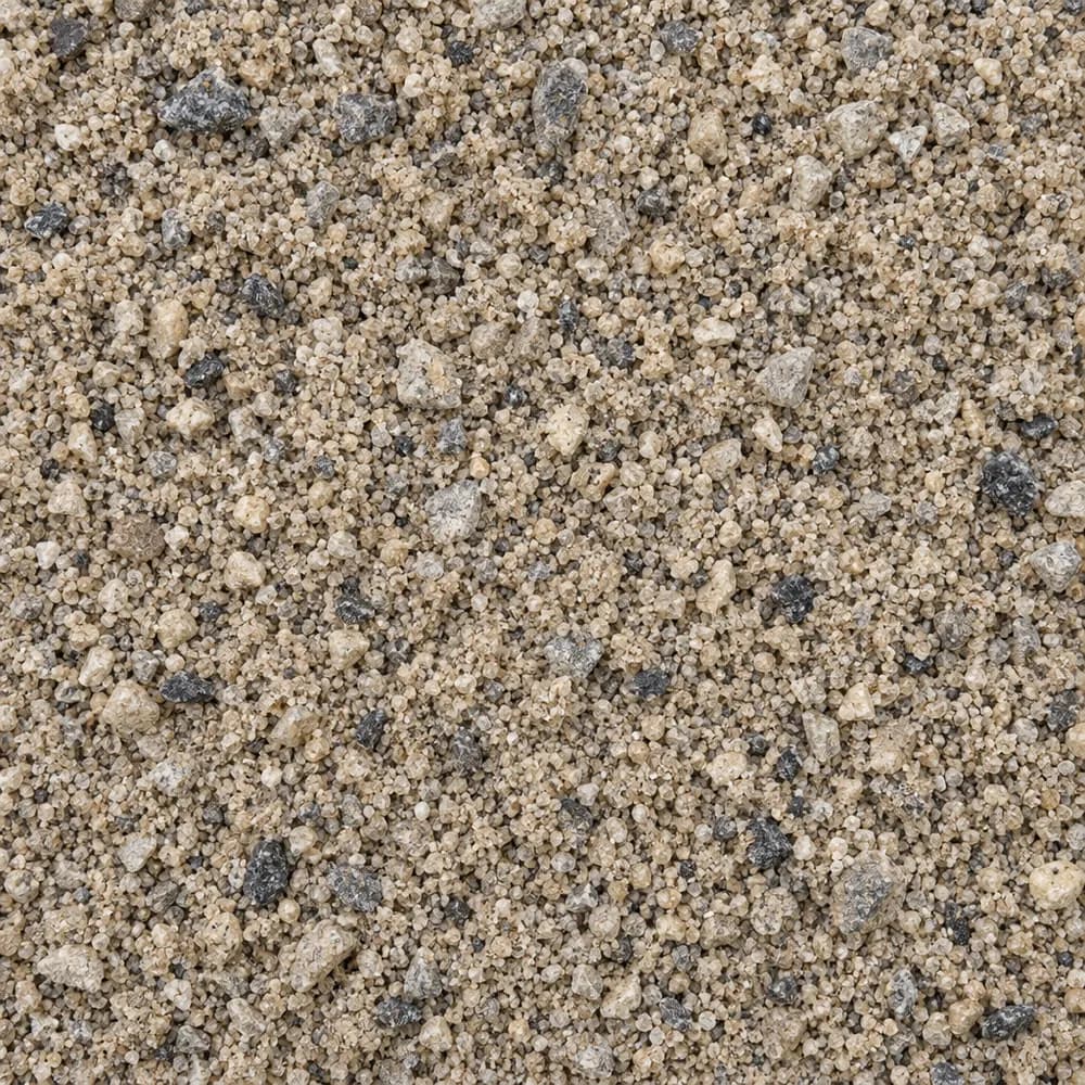 From$5302 ton delivered
Concrete Sand
Sand- Size
- Coarse
- Weight
- 2,700 lb/yd³
- Color
- Tan to gray
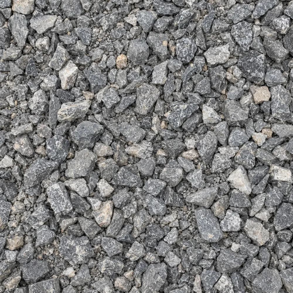 From$5312 ton delivered
#67 Stone
Gravel and Crushed Stone- Size
- 3/4 inch and under
- Weight
- 2,700 lb/yd³
- Color
- Gray
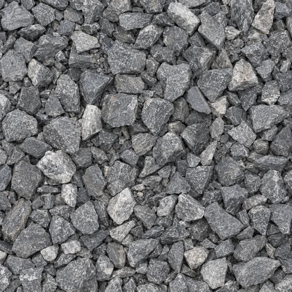 From$5322 ton delivered
3/4" Crushed Stone
Gravel and Crushed Stone- Size
- 3/4 inch
- Weight
- 2,700 lb/yd³
- Color
- Gray
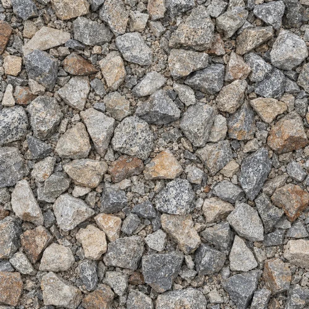 From$5422 ton delivered
1-1/2" Crushed Gravel
Gravel and Crushed Stone- Size
- 1-1/2 inch
- Weight
- 2,700 lb/yd³
- Color
- Gray to tan
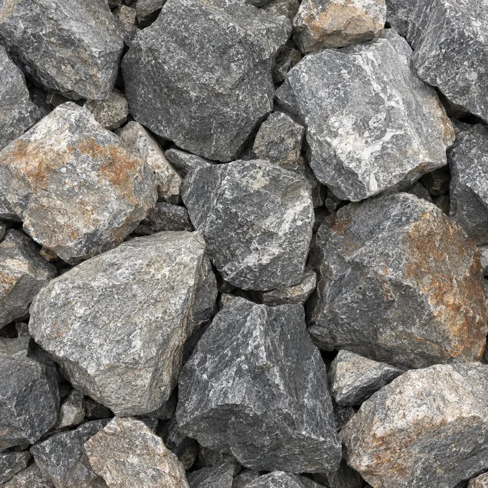 From$5532 ton delivered
Riprap
Drainage and Base- Size
- 6 to 12 inches
- Weight
- 2,700 lb/yd³
- Color
- Gray
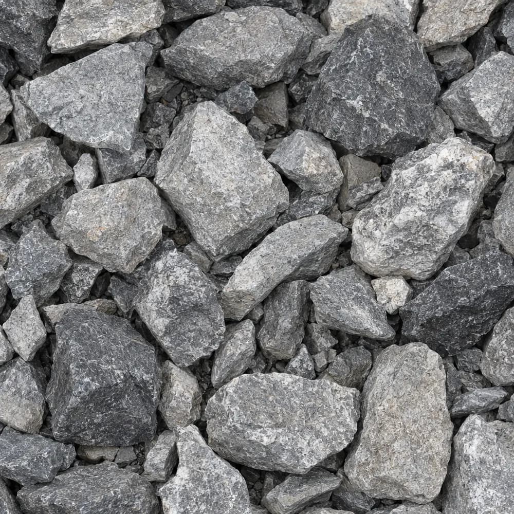 From$5602 ton delivered
#4 Crushed Stone
Gravel and Crushed Stone- Size
- 1-1/2 to 2-1/2 inches
- Weight
- 2,700 lb/yd³
- Color
- Gray
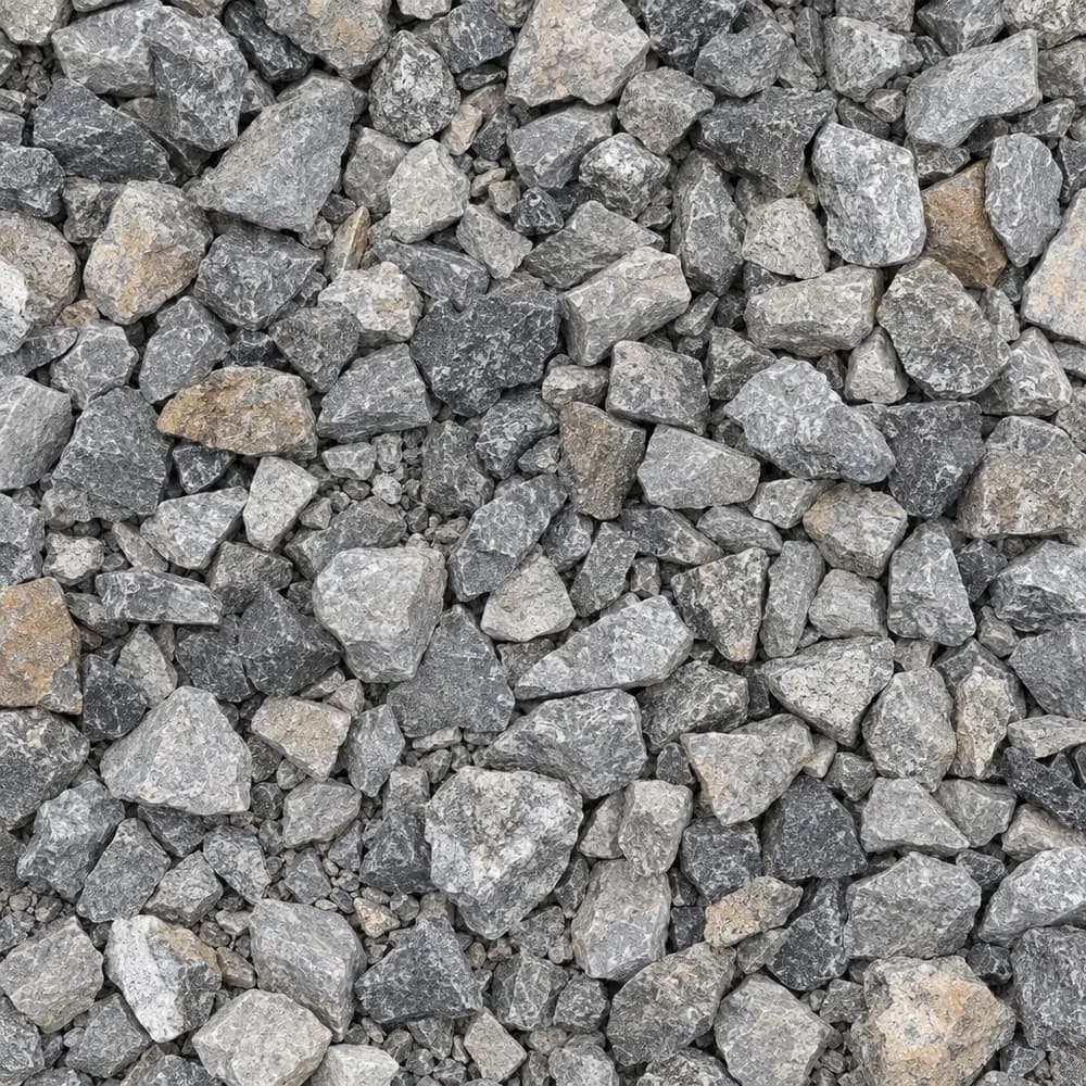 From$5612 ton delivered
Drain Rock
Drainage and Base- Size
- 3/4 to 1-1/2 inches
- Weight
- 2,700 lb/yd³
- Color
- Gray
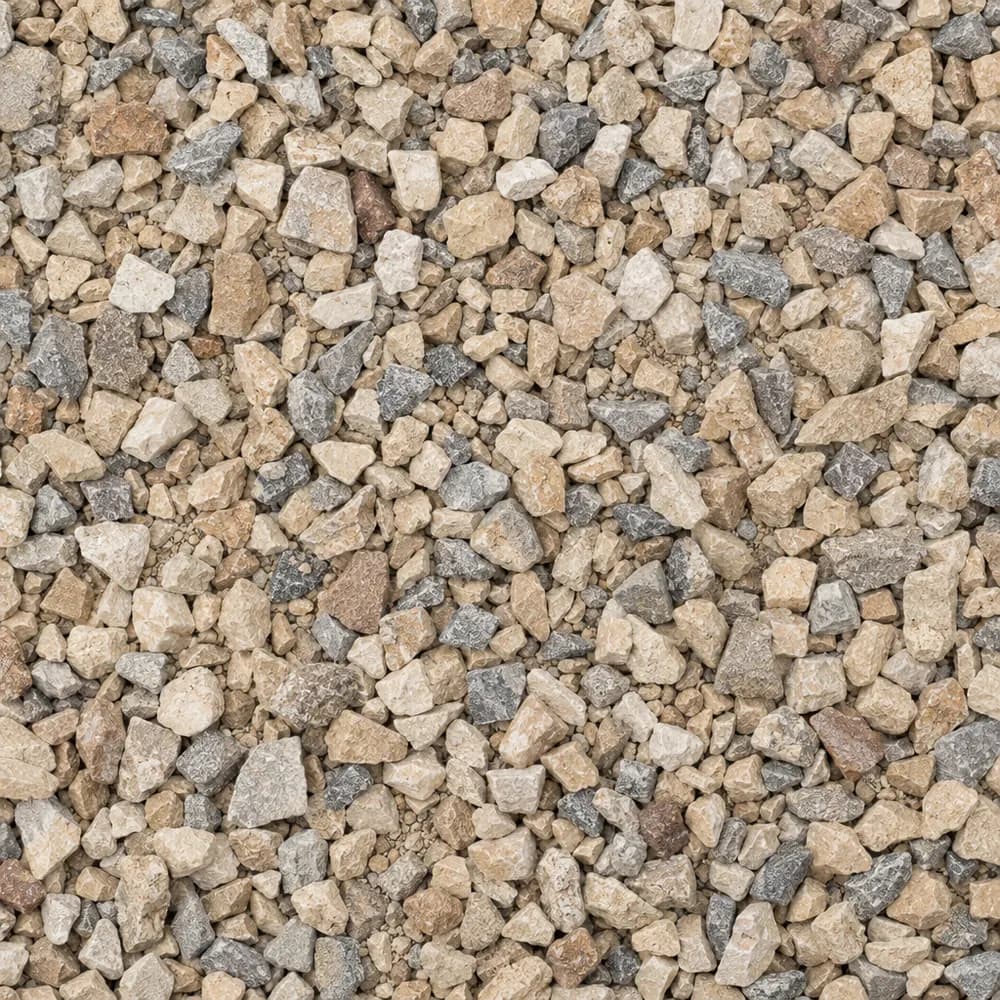 From$5672 ton delivered
Walkway Gravel
Driveway and Landscaping- Size
- 3/8 inch
- Weight
- 2,600 lb/yd³
- Color
- Mixed
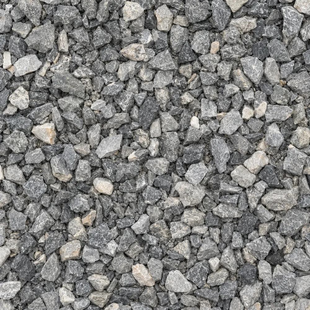 From$5742 ton delivered
3/8" Crushed Stone
Gravel and Crushed Stone- Size
- 3/8 inch
- Weight
- 2,700 lb/yd³
- Color
- Gray
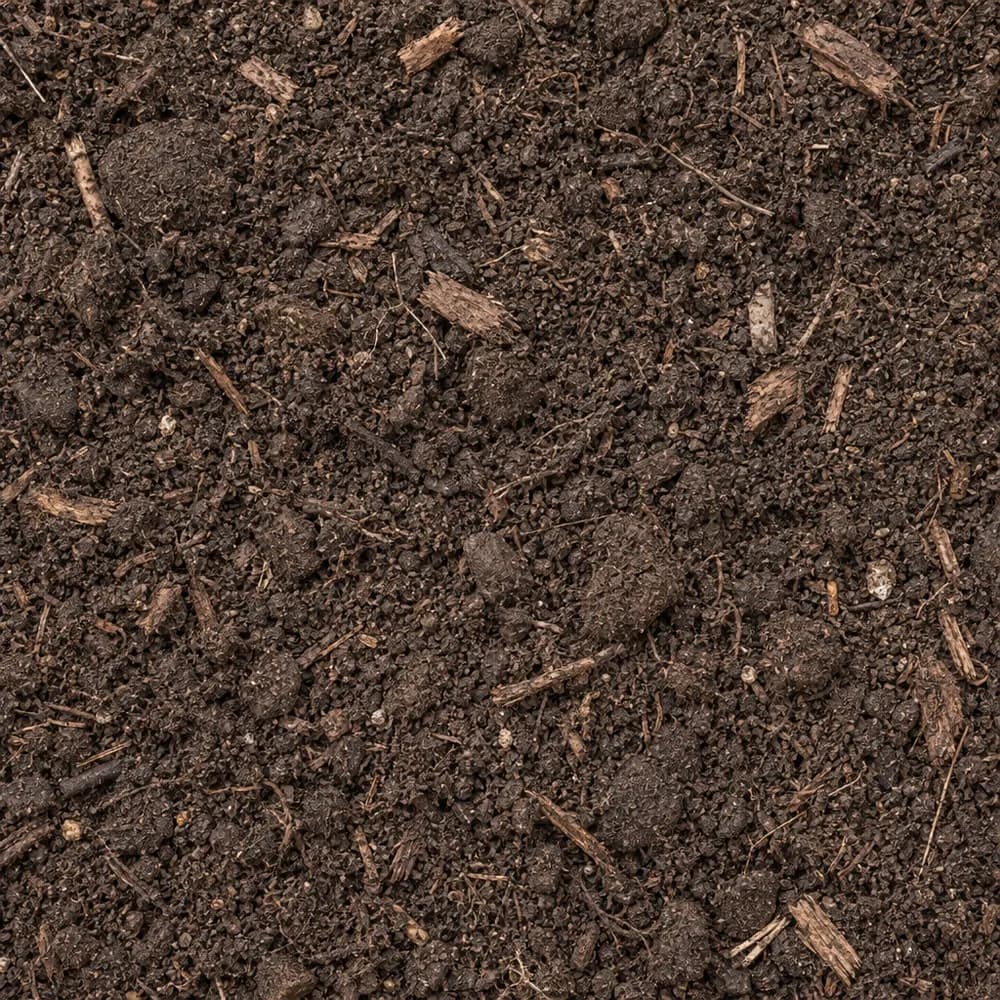 From$5842 ton delivered
Garden Soil
Soil and Fill- Size
- Blended
- Weight
- 2,000 lb/yd³
- Color
- Dark brown
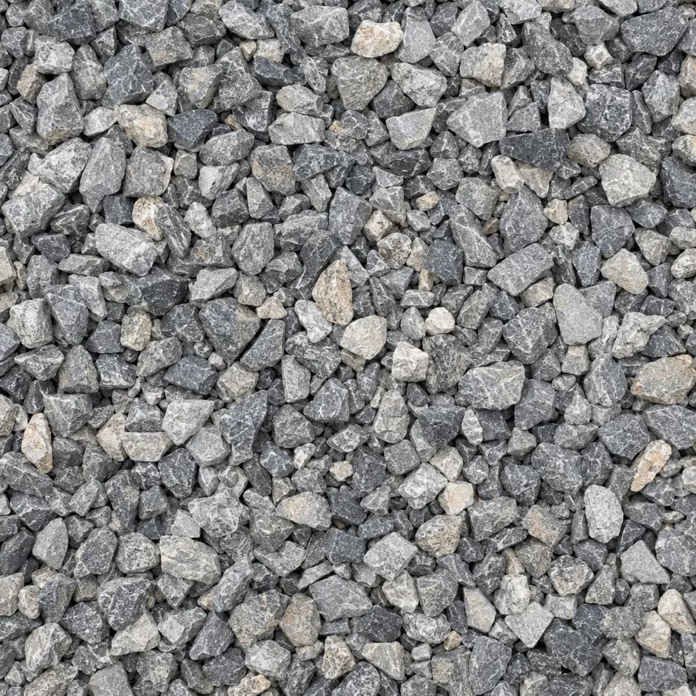 From$6002 ton delivered
#89 Crushed Stone
Gravel and Crushed Stone- Size
- 3/8 inch
- Weight
- 2,700 lb/yd³
- Color
- Gray
 From$6302 yd delivered
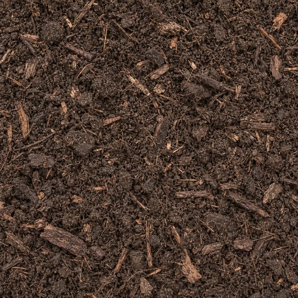
Compost
Soil and Fill- Size
- Screened
- Weight
- 1,200 lb/yd³
- Color
- Dark brown
 From$6362 ton delivered
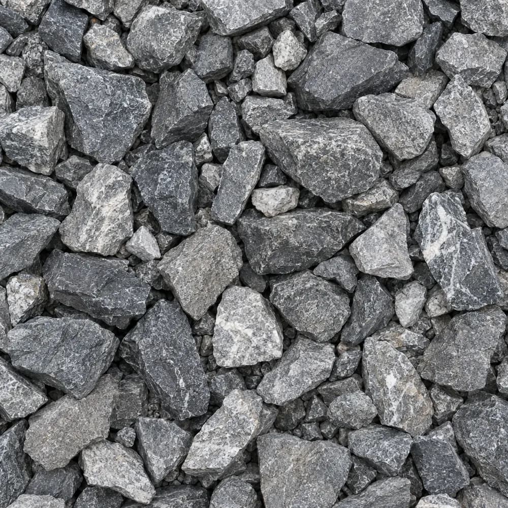
Railroad Ballast
Gravel and Crushed Stone- Size
- 1-1/2 to 2-1/2 inches
- Weight
- 2,700 lb/yd³
- Color
- Gray
 From$6422 ton delivered
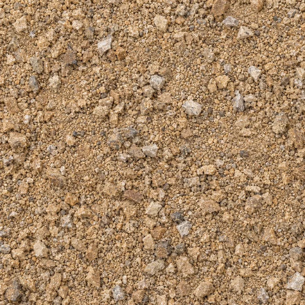
Decomposed Granite
Driveway and Landscaping- Size
- 1/4 inch and fines
- Weight
- 2,500 lb/yd³
- Color
- Gold to tan
 From$6602 ton delivered
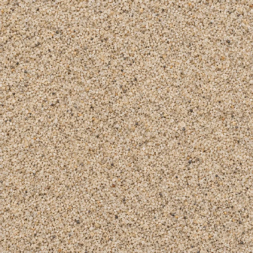
Playground Sand
Sand- Size
- Fine, washed
- Weight
- 2,700 lb/yd³
- Color
- Light tan
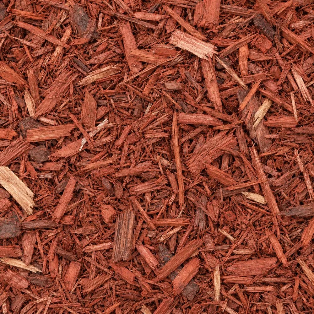 From$6782 yd delivered
Red Mulch
Mulch and Wood- Size
- Double shredded
- Weight
- 800 lb/yd³
- Color
- Red
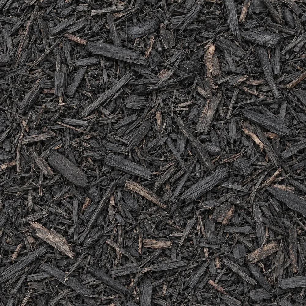 From$7222 yd delivered
Black Shredded Mulch
Mulch and Wood- Size
- Double shredded
- Weight
- 800 lb/yd³
- Color
- Black
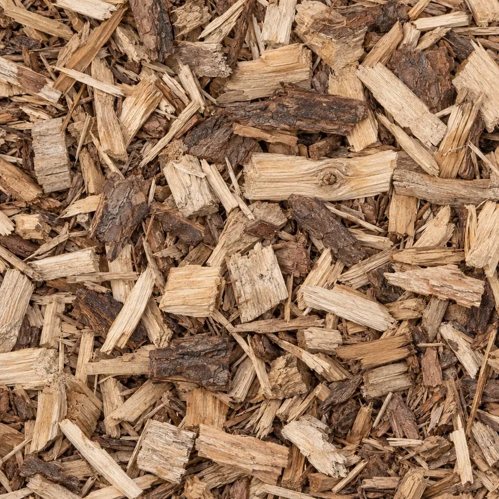 From$7282 yd delivered
Wood Chips
Mulch and Wood- Size
- 1 to 3 inches
- Weight
- 700 lb/yd³
- Color
- Natural
Popular projects
Common gravel projects in Johnson City
The ground and weather in Johnson City
A steep slope of channery silt loam
At the ZIP's center point, the USDA soil survey maps Montevallo channery silt loam, 35 to 50 percent slopes. Montevallo makes up 90 percent of the map unit, so this one soil covers nearly all of it. The word channery means the soil is full of thin, flat fragments of rock, the kind that split off shale.[1]
The survey rates Montevallo well drained and places it in hydrologic group D, with very slow infiltration and high runoff. That pairing comes from depth. Paralithic bedrock, a soft and weathered rock, lies at about 18 inches. Water moves through the shallow soil but meets the rock fast, then runs downhill.[1]
Shrink-swell in the top meter rates low, at 0.5 percent. This soil barely heaves at all. A project here has to work with a steep grade, shallow rock and fast runoff.[1]
Limestone, shale and dolomite below
The geologic map shows a Cambrian unit named Maynardville Limestone, Nolichucky Shale, and Honaker Dolomite at the center point. Its rocks are dolostone, limestone, shale and siltstone. Shale breaks into the flat chips that give the soil its channery name.[2]
Limestone and dolomite in the same unit weather in a different way from shale. They dissolve slowly in water, and a yard over them can hold small hollows or loose pockets under the soil. A spot that settles after a storm deserves a look before a drive or a pad is built over it. Fill a small hollow with compacted Road Base rather than loose dirt.[2]
Weathered shale near the surface is soft enough to dig with effort, but it does not make a stable base by itself. Once exposed, it can crumble and slake in rain. A cut bank in shale should be covered, planted or faced with stone so it does not shed chips onto a drive. The ground at the center point stands 1,690 feet above sea level.[2],[3]
Weather at the Elizabethton gauge
The NOAA normals station at Elizabethton, TN, about 5 miles away, gives the weather averages for this ZIP. It records 48.0 inches of precipitation and 6.0 inches of snow in an average year. On a steep slope with shallow rock, that rain turns into fast runoff, and runoff is the force that cuts ruts into a gravel drive.[4]
The gauge counts 94 days a year with a low of 32 F or colder. Its median last spring freeze is April 19. Its median first fall freeze is October 24. Wet ground that freezes and thaws loosens stone on a slope, so a drive needs a base that drains and a surface that sheds water fast.[4]
Switchbacks, culverts and stone that grips
Tennessee's Department of Transportation builds roads over a compacted layer it calls Mineral Aggregate Base, Type A, Section 303 of its Standard Specifications for Road and Bridge Construction (April 1, 2026). A home drive on a hillside uses the same kind of dense, well graded stone.[5]
On a grade of 35 to 50 percent, a drive straight up the hill is rarely practical. Most hillside drives cut across the slope in one or more turns. Each turn is a place where water wants to leave the drive, so plan a culvert or a stone-lined outlet there. Riprap at the outlet keeps the bank below from eroding.[1]
Build the drive on firm ground by scraping off the loose top and cutting into the slope. Compact Road Base in thin lifts over the cut. On weathered shale, a layer of fabric under the base keeps chips and silt from mixing in when the ground is wet. A lower course of 1-1/2" Crushed Gravel adds strength on a drive that carries trucks.[1],[2]
Finish with a thin top of 3/4" Crushed Stone. Angular stone grips tires on a slope, while rounded stone rolls. Water bars set at an angle across the drive turn runoff off the surface every so often, before it can build up speed.[1],[4]
Crushed stone sizes for a mountain lot
Steep ground asks a lot of every stone size, and each one has a job. #4 Crushed Stone and 1-1/2" Crushed Gravel are the big pieces. They form a strong lower course, bridge soft spots and leave open gaps for water. They are rough to walk on, so they belong under other layers or in ditches.[1]
#57 Crushed Stone is the middle size. It drains freely, so it fills French drains, the space behind walls and the trench at the foot of a cut bank. #67 Stone is a little smaller and packs a bit tighter, which suits a drive top on a gentle stretch.[1]
Road Base is the binder. Its mix of stone and fines locks together under a roller, and on a grade that lock keeps the drive from sliding. 3/4" Crushed Stone makes the thin wearing layer on top. #89 Crushed Stone and Walkway Gravel suit paths and steps, where a small, angular stone gives good footing on a slope.[1]
Riprap is the largest stone and the one that stops erosion. Set it at culvert outlets, along the edge of a creek or at the base of a steep bank where runoff hits hardest. On ground with bedrock at about 18 inches, a ditch cannot go deep, so the stone has to armor a shallow channel.[1],[4]
Walls, terraces and beds on a hillside
A steep lot gains usable space through terraces. A low retaining wall with a layer of #57 Crushed Stone or Drain Rock behind it lets water drain through, so pressure does not build up. Fill Dirt brings the terrace level, and a layer of Topsoil on top gives plants a root zone.[1]
With bedrock at about 18 inches, native soil is thin for most plants. Raised beds of Garden Soil, or Topsoil mixed with Compost, give roots the depth they need. Shredded mulch holds well on a slope and slows the runoff that would strip bare soil.[1]
Spring planting is safest after the median last spring freeze of April 19. Fall planting of shrubs and trees does best a few weeks ahead of October 24, so roots can settle before the cold.[4]
The Census counts 18,299 housing units in ZIP 37601. Detached single-family houses make up 56 percent, and owners live in 56 percent of the occupied homes. The median home in the ZIP was built in 1981. Johnson City as a whole has 33,360 housing units, with 53 percent detached houses and a median build year of 1983.[6]
The numbers behind this page
| Fact | Value | Applies to | Source |
|---|---|---|---|
| Soil map unit at the ZIP's center point | Montevallo channery silt loam, 35 to 50 percent slopes | City center point | [1] |
| Main soil series | Montevallo (90 percent of the map unit) | City center point | [1] |
| Texture of the top mineral soil layer | channery silt loam | City center point | [1] |
| Drainage class | well drained | City center point | [1] |
| Hydrologic soil group | D (very slow infiltration, high runoff) | City center point | [1] |
| Depth to a restrictive layer | paralithic bedrock at about 18 inches | City center point | [1] |
| Shrink-swell in the top 100 cm (linear extensibility) | low, 0.5 percent | City center point | [1] |
| Mapped geologic unit at the ZIP's center point | Maynardville Limestone, Nolichucky Shale, and Honaker Dolomite | City center point | [2] |
| Rock or sediment type of that unit | dolostone, limestone, shale, siltstone | City center point | [2] |
| Geologic age of that unit | Cambrian | City center point | [2] |
| Ground elevation at the ZIP's center point | 1,690 feet | City center point | [3] |
| NOAA normals station used | Elizabethton, TN, about 5 miles away | Weather station | [4] |
| Average yearly precipitation | 48.0 inches | Weather station | [4] |
| Average yearly snowfall | 6.0 inches | Weather station | [4] |
| Days a year the low reaches 32 F or colder | 94 days | Weather station | [4] |
| Median date of the last spring freeze (32 F) | April 19 | Weather station | [4] |
| Median date of the first fall freeze (32 F) | October 24 | Weather station | [4] |
| Tennessee Department of Transportation aggregate base specification | Mineral Aggregate Base, Type A, Section 303, Standard Specifications for Road and Bridge Construction (April 1, 2026) | State | [5] |
| Housing units in ZIP 37601 | 18,299 | This ZIP | [6] |
| Share of homes in ZIP 37601 that are detached single-family houses | 56 percent | This ZIP | [6] |
| Share of occupied homes in ZIP 37601 lived in by the owner | 56 percent | This ZIP | [6] |
| Median year homes in ZIP 37601 were built | 1981 | This ZIP | [6] |
| Housing units in Johnson City | 33,360 | Whole city | [6] |
| Share of homes in Johnson City that are detached single-family houses | 53 percent | Whole city | [6] |
| Median year homes in Johnson City were built | 1983 | Whole city | [6] |
Sources
- USDA NRCS Soil Data Access (SSURGO soil survey), retrieved 2026-10-31
- USGS State Geologic Map Compilation (Horton and others, 2017), queried through the Macrostrat API, retrieved 2026-10-31
- USGS Elevation Point Query Service (3DEP), retrieved 2026-10-31
- NOAA NCEI U.S. Climate Normals 1991-2020, annual and seasonal, retrieved 2026-10-30
- Tennessee Department of Transportation, Standard Specifications for Road and Bridge Construction (April 1, 2026), Section 303, retrieved 2026-10-29
- U.S. Census Bureau, American Community Survey 2020-2024 5-year estimates (tables B25001, B25003, B25024, B25035), retrieved 2026-10-30
Point and station values describe one spot, not every lot in town. Check your own site before you build.
Nearby
Nearby cities we serve
Delivery
Your delivery in Johnson City
- Minimum order
- 2 tons or 2 cubic yards
- Delivered price from
- $440 for 2 tons of Fill Sand
- Priced from
- Johnson City, TN ladder (this city)
We coordinate the truck from the yards that serve Johnson City; we do not run a yard in town.
Coverage map
Where we deliver in Johnson City
The drawing shows the nearest cities we price around Johnson City, at true bearing and distance. Outside the rings, enter your ZIP and we quote the haul from the nearest ladder.
Need bulk material delivered in Johnson City?
Delivered prices on every card, or send the job and we price it by hand.
Tools
Helpful calculators
Frequently Asked Questions
What gravel works on a steep driveway in Johnson City
A compacted layer of Road Base with a thin top of 3/4" Crushed Stone grips best on a hill. The angular pieces lock together and give tires traction. Add water bars across the drive so runoff leaves before it cuts ruts, and keep rounded stone off the slope.
How do I stop shale chips sliding onto my drive
A bare shale bank weathers and sheds chips in every rain. Cover it with plants, a layer of mulch or a face of larger stone such as Riprap. At the foot of the bank, a narrow ditch lined with Drain Rock catches the chips and the runoff before they reach the drive.
What goes behind a retaining wall on a slope
Clean stone such as #57 Crushed Stone or Drain Rock, with a drain pipe at the base if the wall is tall. The stone lets water drain out instead of pushing on the wall. Wrap the stone in fabric so soil from the slope does not clog it over time.
Which soil should I use for a hillside garden
Native soil here is thin over rock, so raised beds or terraces filled with Garden Soil, or Topsoil and Compost, work best. Keep the beds level so water soaks in instead of running off. Cover them with shredded mulch, which knits together and stays put on a slope.
When should I build a gravel drive here
Late spring through early fall is the best window. The ground is thawed and drier, so the base compacts well. The median last spring freeze at the Elizabethton gauge is April 19, and work after that date avoids frozen or soggy ground.