
Service area · NC
Gravel, Stone and Soil Delivery in Huntersville, NC
Bulk gravel, crushed stone, sand, soil and mulch delivered across Huntersville, NC, priced by the load for your ZIP.
- Min. order
- 2 tons or 2 yd³
- Area
- Huntersville and nearby ZIPs
- From
- $432 delivered
Every price below is the delivered total.
Gravel Valet brings bulk stone, sand, soil and mulch to homes and builders in Huntersville. Enter a ZIP in the box above to see each material with its delivered figure.
These notes read the creek-bottom loam mapped at the center point of ZIP 28078, a Charlotte NOAA station and the Census counts, then explain how to keep a drive, a patio or a bed above the water.
Plan
How much do you need?
Work out your material
In stock
Materials available in Huntersville
Every price is the delivered total for 2 tons or yards, in whole dollars.
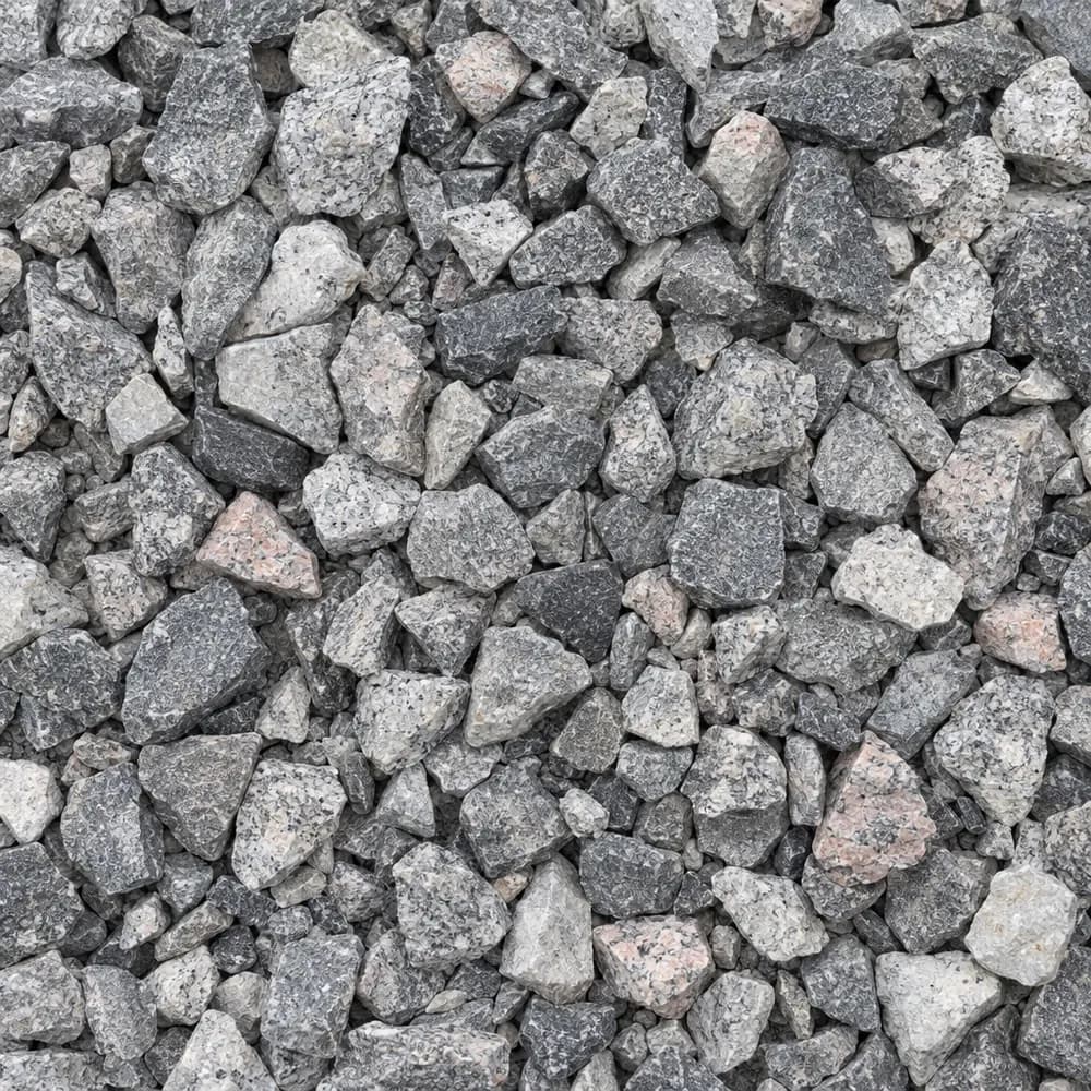 From$5602 ton delivered
#57 Crushed Stone
Gravel and Crushed Stone- Size
- 3/4 to 1 inch
- Weight
- 2,700 lb/yd³
- Color
- Gray
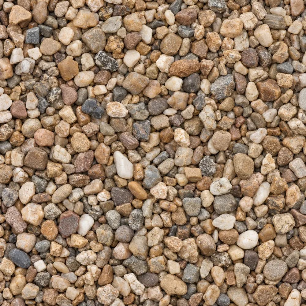 From$8582 ton delivered
Pea Gravel
Driveway and Landscaping- Size
- 3/8 inch
- Weight
- 2,600 lb/yd³
- Color
- Mixed tan and brown
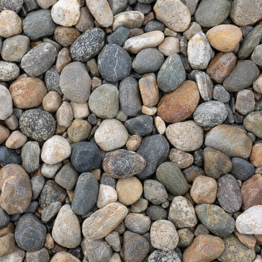 From$1,0662 ton delivered
River Rock
Driveway and Landscaping- Size
- 1 to 3 inches
- Weight
- 2,600 lb/yd³
- Color
- Mixed earth tones
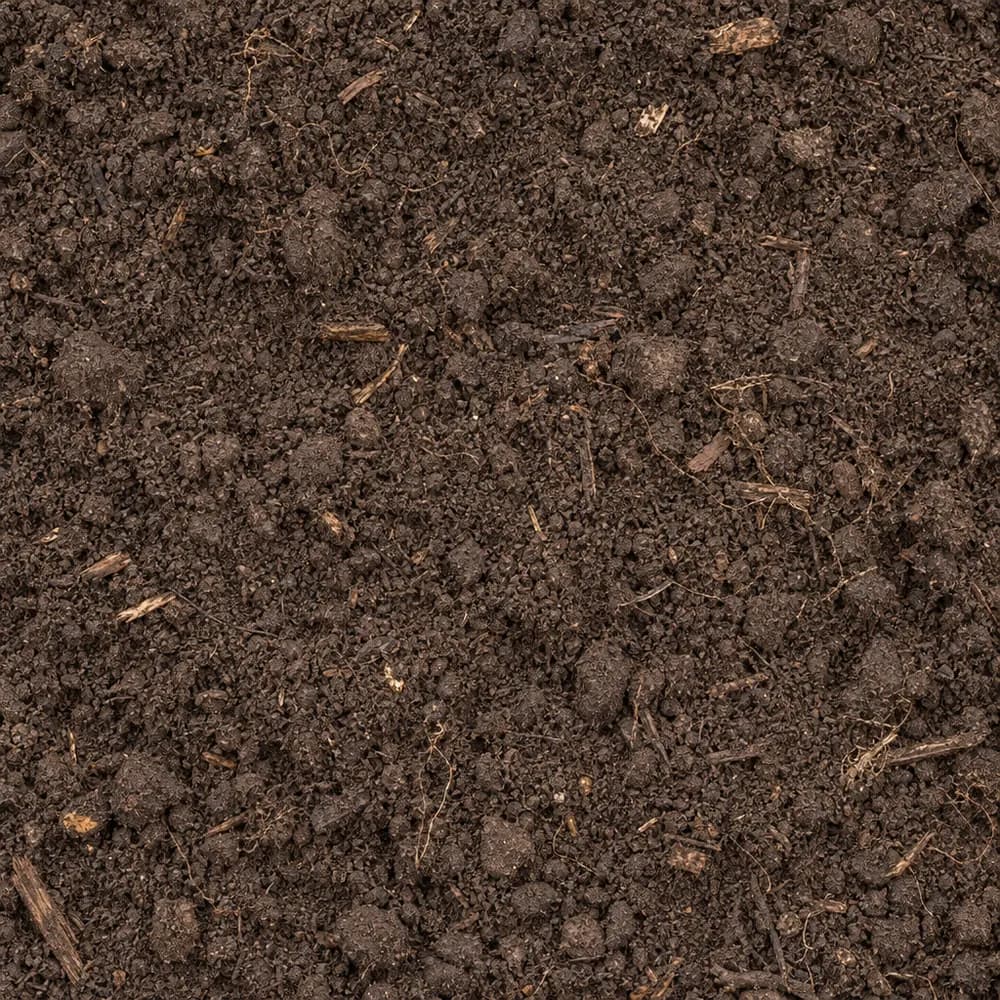 From$5252 ton delivered
Topsoil
Soil and Fill- Size
- Screened
- Weight
- 2,200 lb/yd³
- Color
- Dark brown
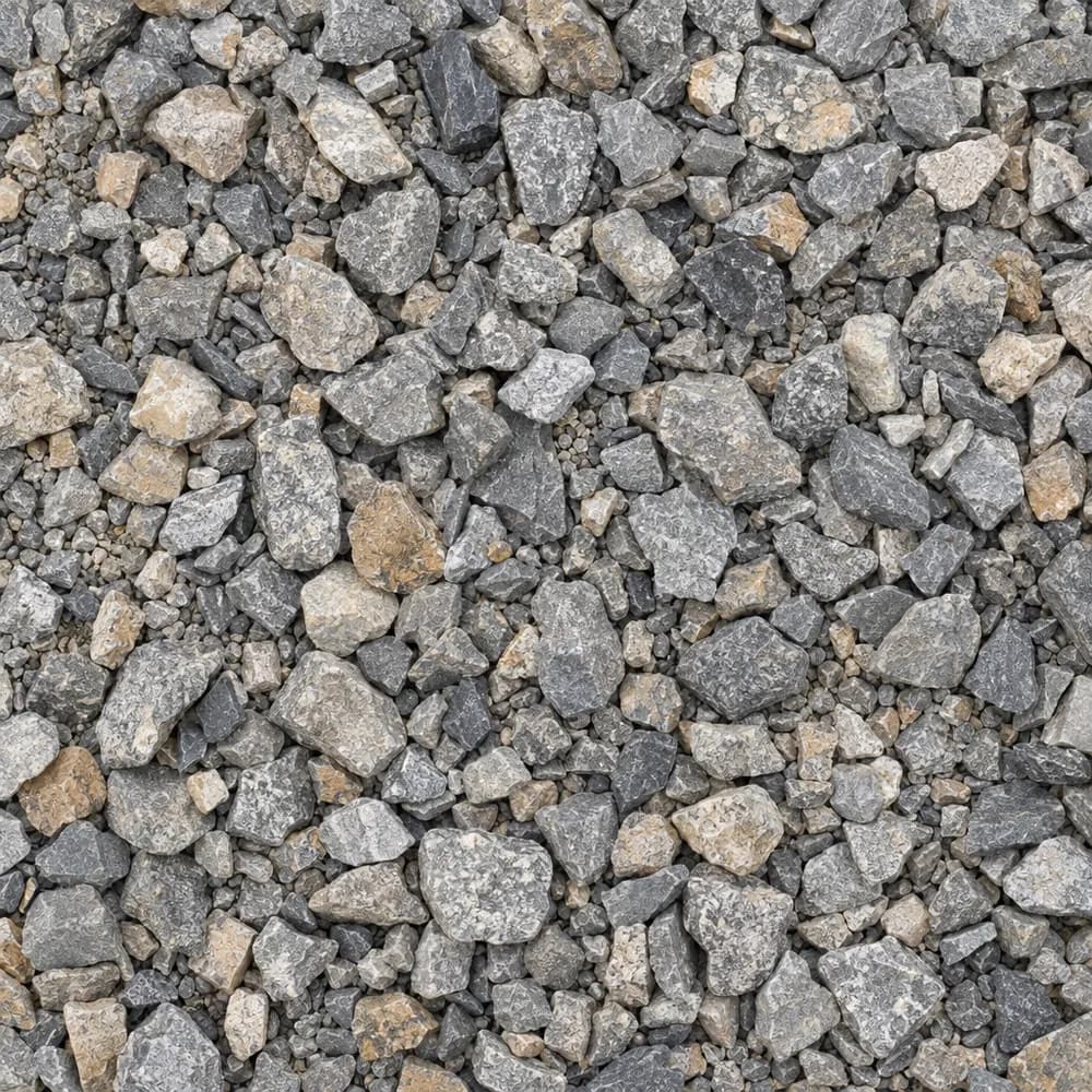 From$5622 ton delivered
Driveway Gravel
Driveway and Landscaping- Size
- 3/4 inch clean crushed
- Weight
- 2,700 lb/yd³
- Color
- Gray
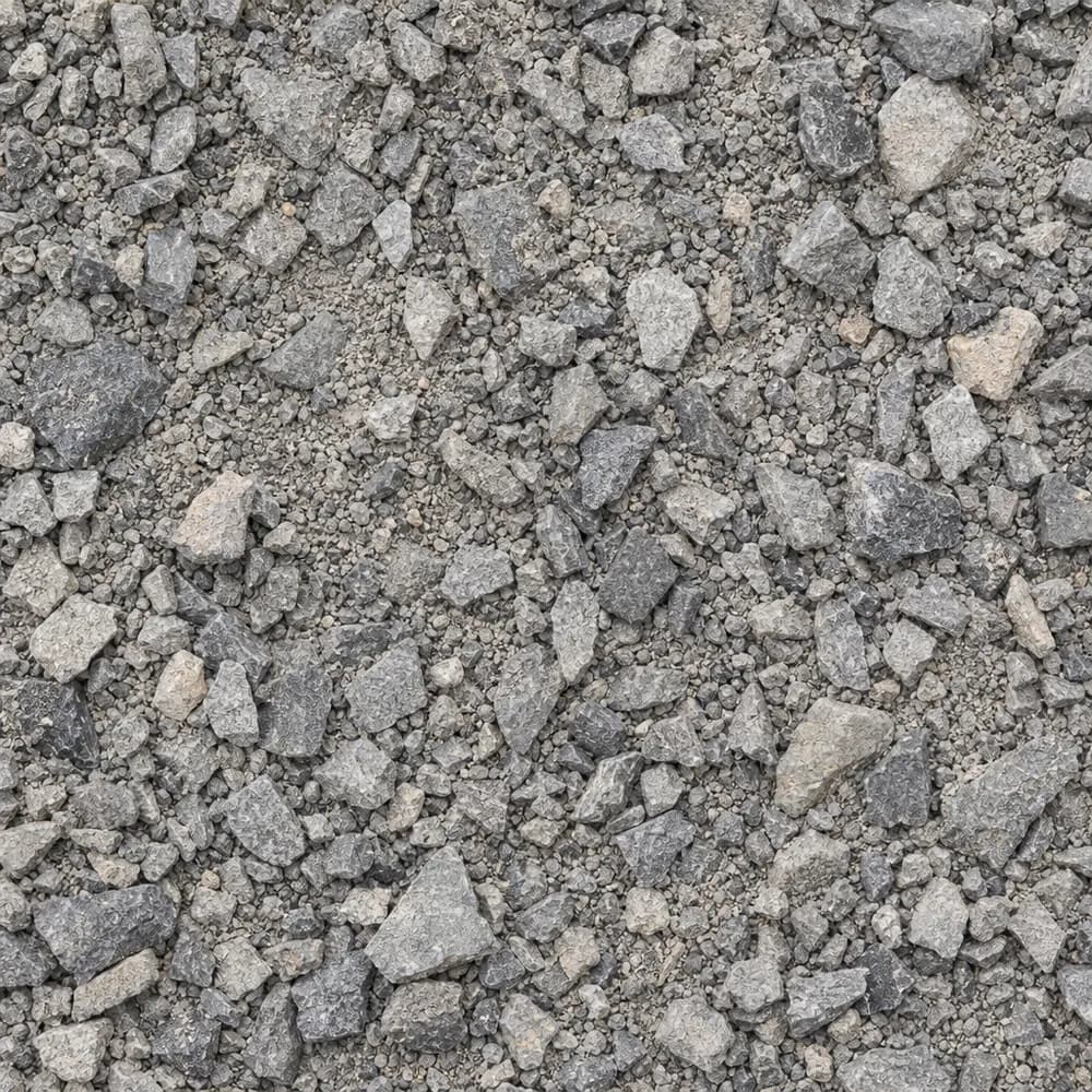 From$5252 ton delivered
Road Base
Drainage and Base- Size
- 3/4 inch minus
- Weight
- 2,800 lb/yd³
- Color
- Gray
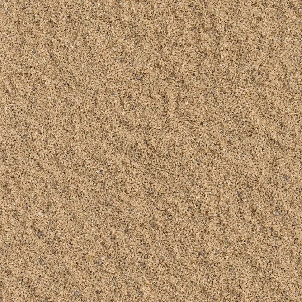 From$5242 ton delivered
Mason Sand
Sand- Size
- Fine
- Weight
- 2,700 lb/yd³
- Color
- Tan
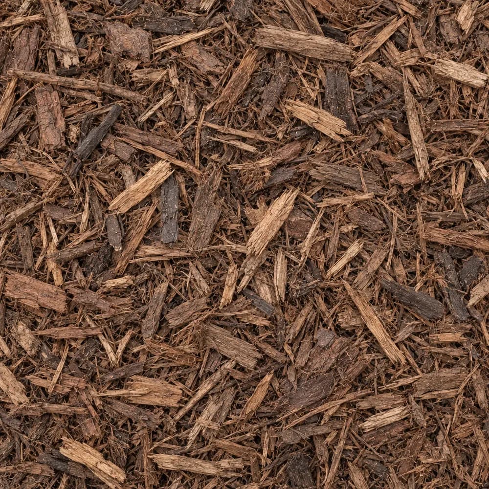 From$7212 yd delivered
Brown Shredded Mulch
Mulch and Wood- Size
- Double shredded
- Weight
- 800 lb/yd³
- Color
- Brown
 From$4322 ton delivered
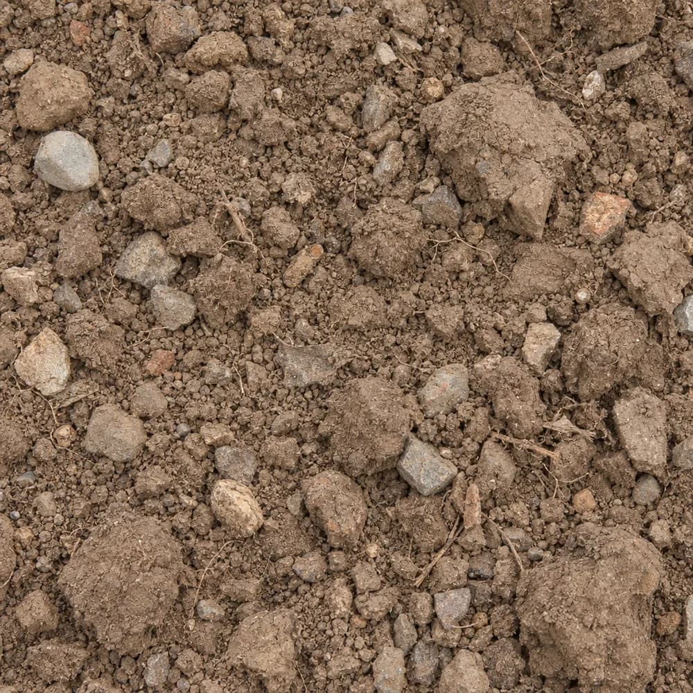
Fill Dirt
Soil and Fill- Size
- Unscreened
- Weight
- 2,400 lb/yd³
- Color
- Brown
 From$4432 ton delivered
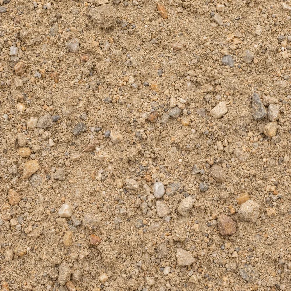
Fill Sand
Sand- Size
- Unscreened
- Weight
- 2,700 lb/yd³
- Color
- Tan
 From$4452 ton delivered
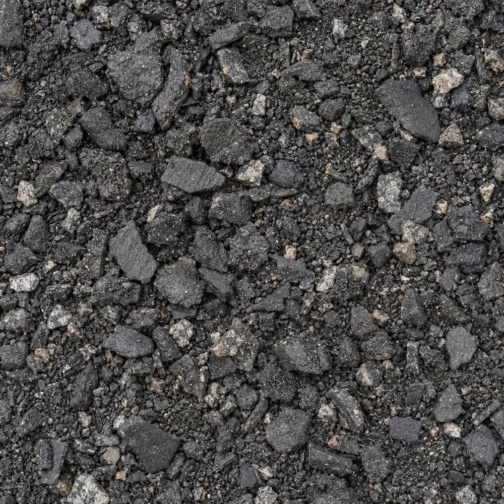
Asphalt Millings
Driveway and Landscaping- Size
- 1 inch minus
- Weight
- 2,900 lb/yd³
- Color
- Black
 From$4642 ton delivered
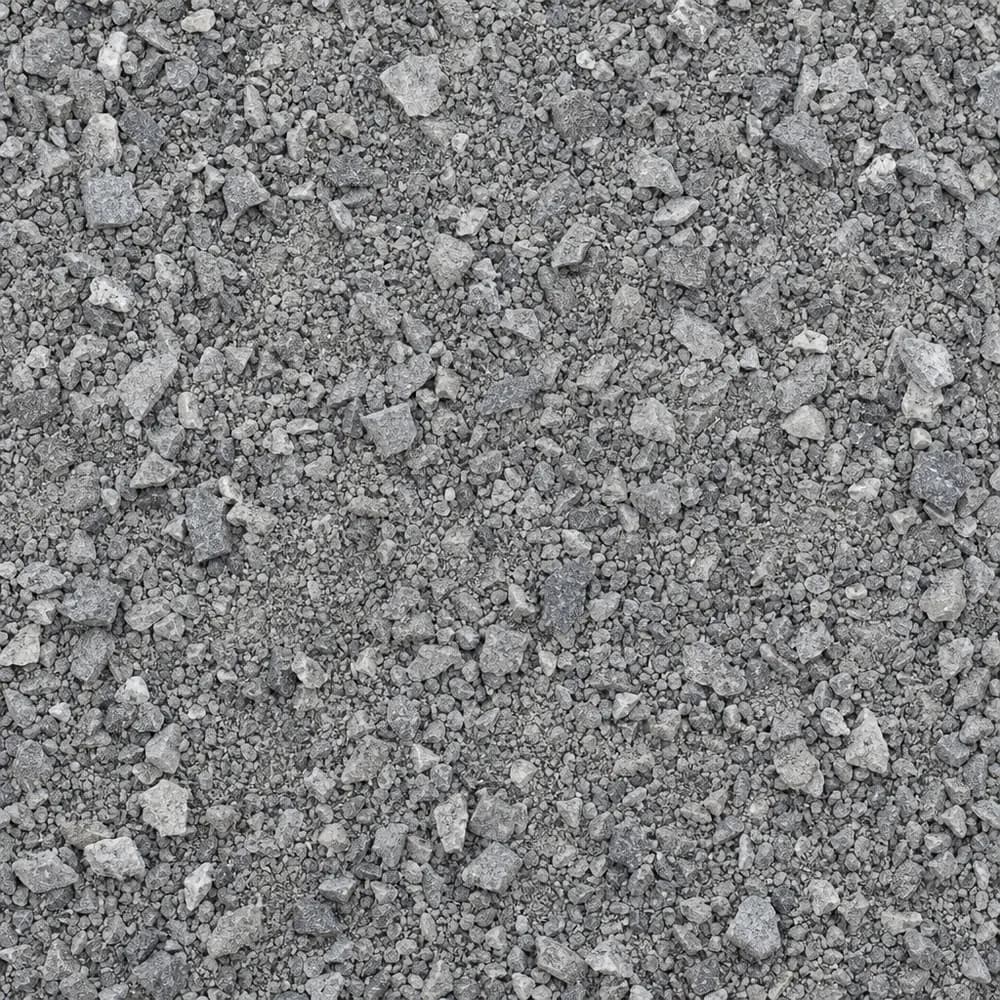
Stone Dust Screenings
Drainage and Base- Size
- 1/4 inch and fines
- Weight
- 2,800 lb/yd³
- Color
- Gray
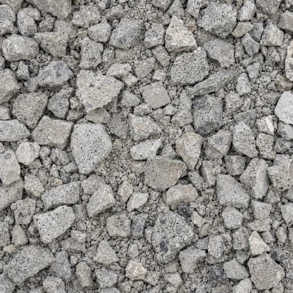 From$4912 ton delivered
Crushed Concrete
Driveway and Landscaping- Size
- 3/4 inch minus
- Weight
- 2,600 lb/yd³
- Color
- Light gray
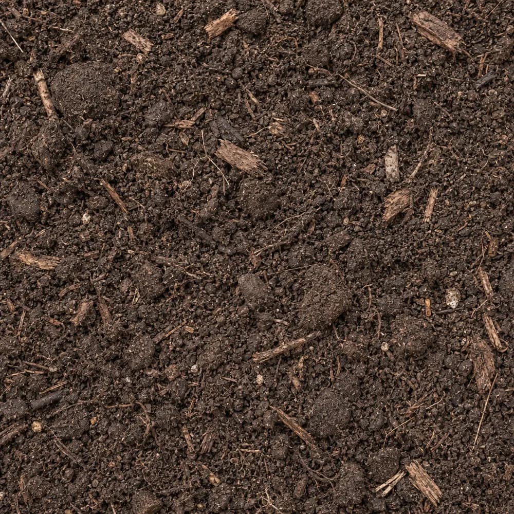 From$5302 ton delivered
Garden Soil
Soil and Fill- Size
- Blended
- Weight
- 2,000 lb/yd³
- Color
- Dark brown
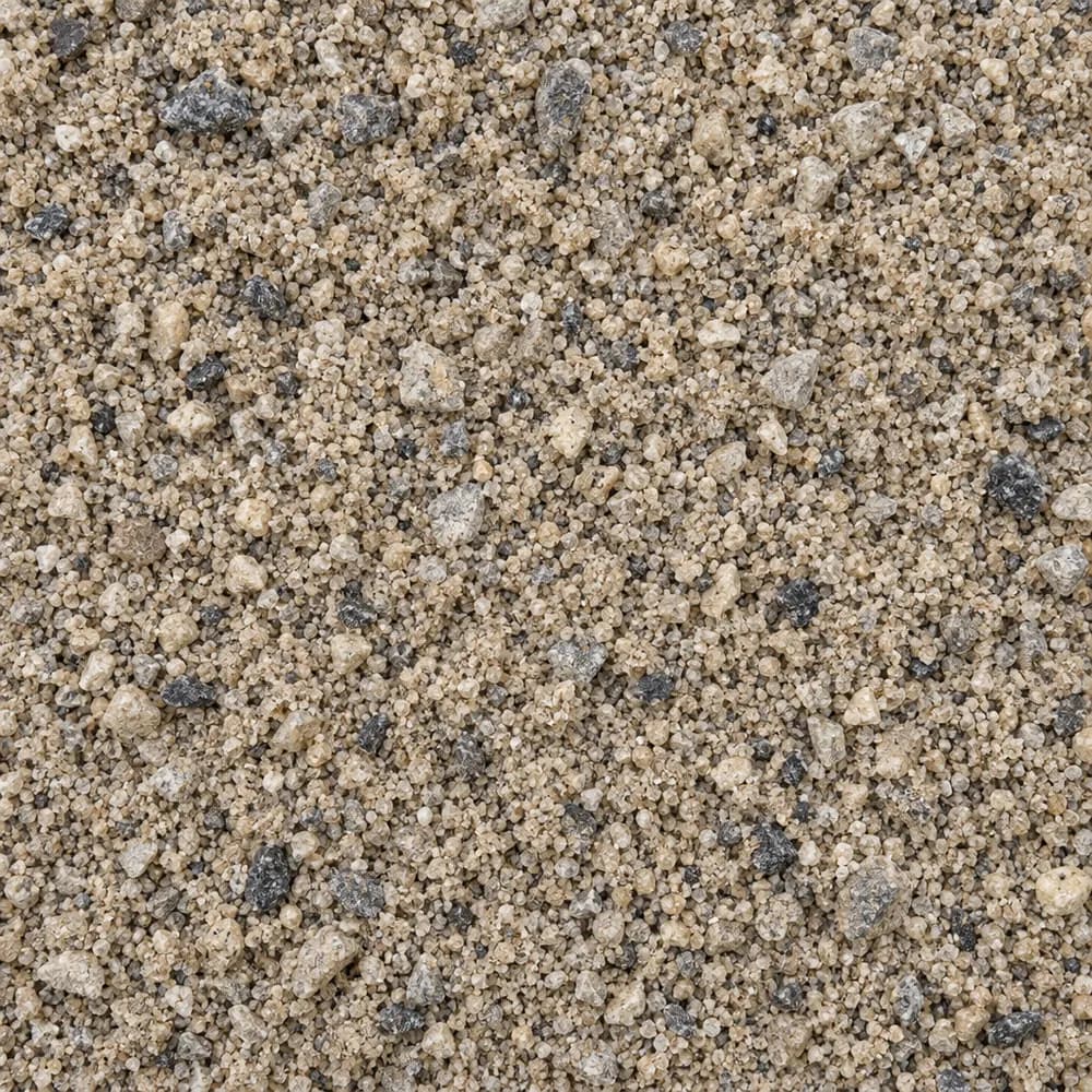 From$5312 ton delivered
Concrete Sand
Sand- Size
- Coarse
- Weight
- 2,700 lb/yd³
- Color
- Tan to gray
 From$5342 ton delivered
Playground Sand
Sand- Size
- Fine, washed
- Weight
- 2,700 lb/yd³
- Color
- Light tan
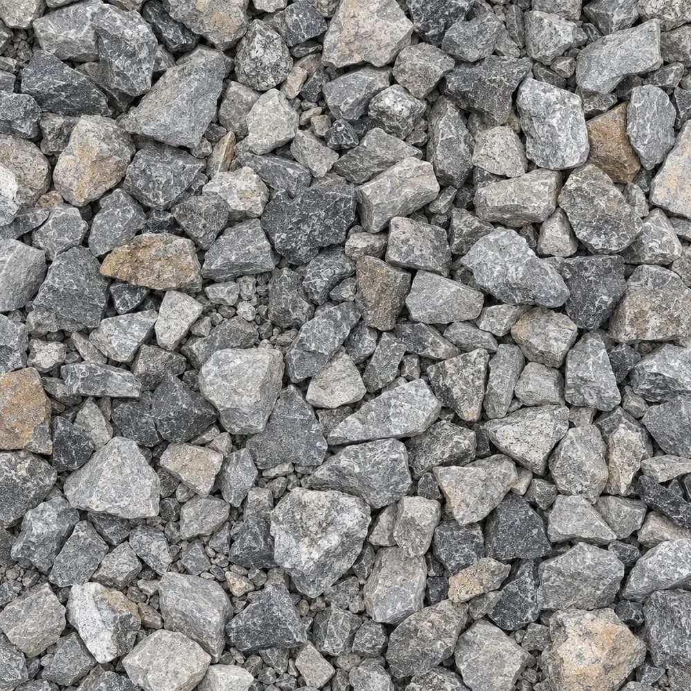 From$5592 ton delivered
Drain Rock
Drainage and Base- Size
- 3/4 to 1-1/2 inches
- Weight
- 2,700 lb/yd³
- Color
- Gray
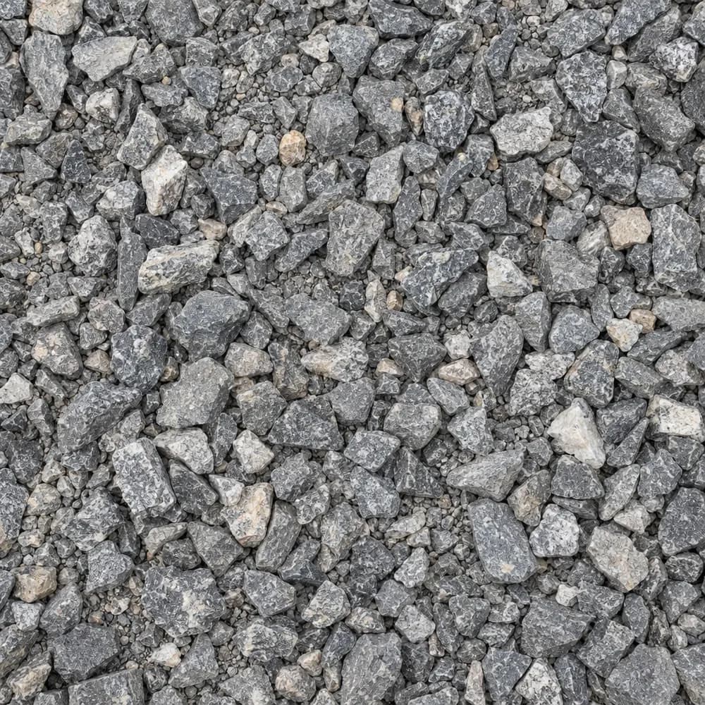 From$5612 ton delivered
#67 Stone
Gravel and Crushed Stone- Size
- 3/4 inch and under
- Weight
- 2,700 lb/yd³
- Color
- Gray
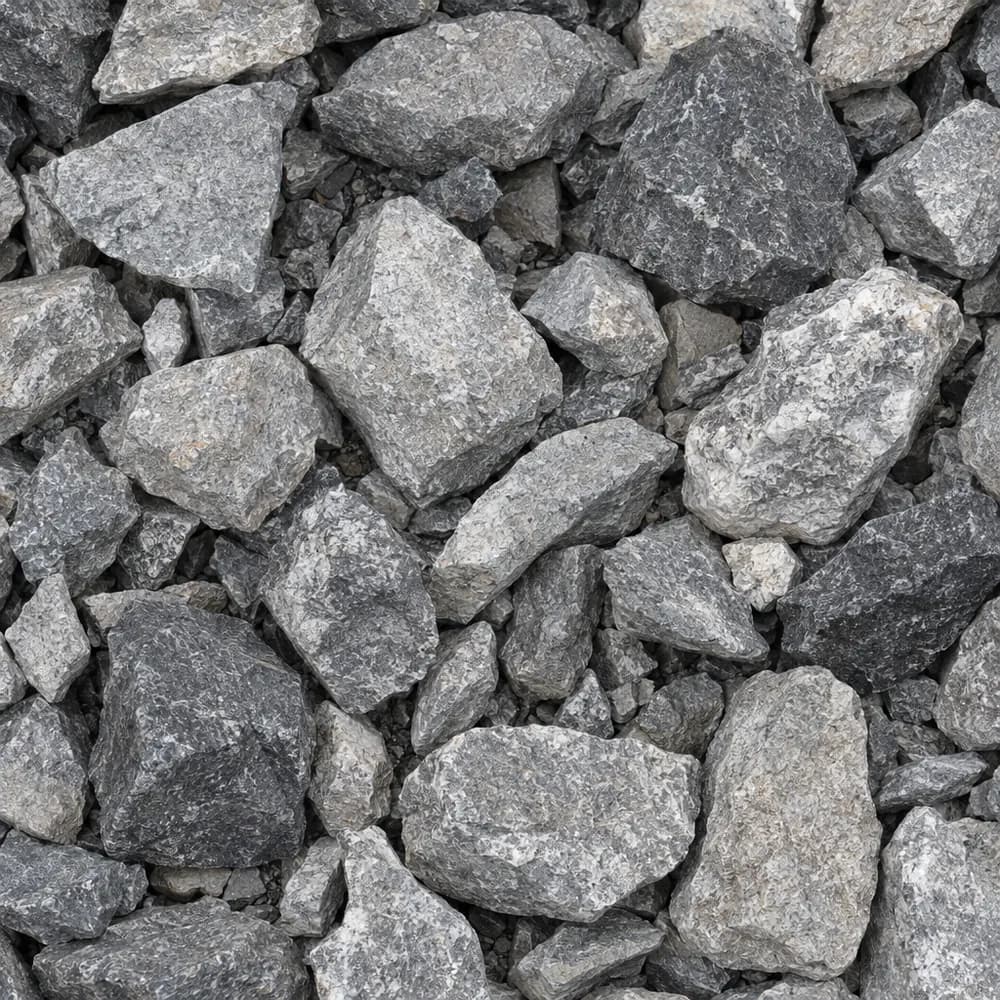 From$5632 ton delivered
#4 Crushed Stone
Gravel and Crushed Stone- Size
- 1-1/2 to 2-1/2 inches
- Weight
- 2,700 lb/yd³
- Color
- Gray
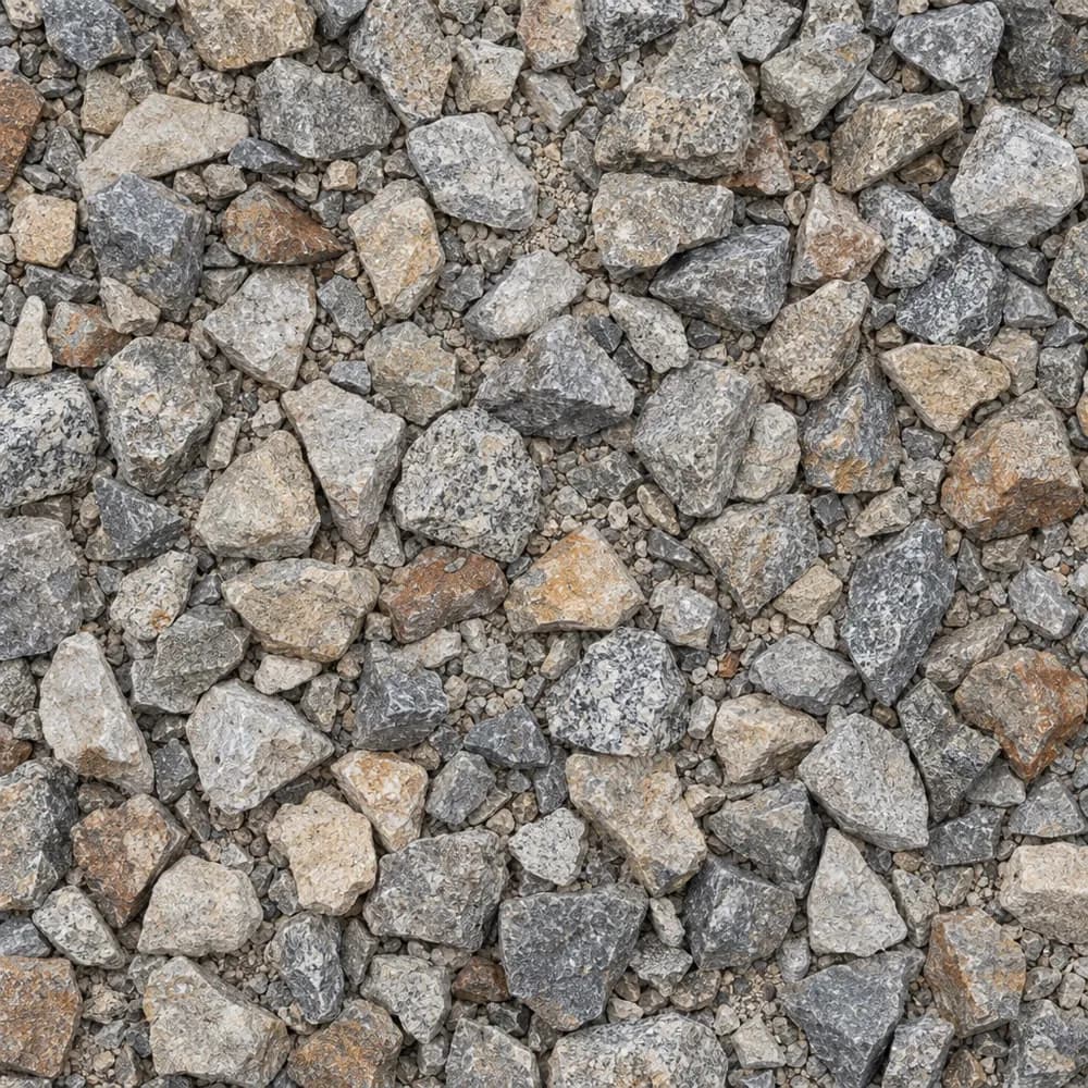 From$5632 ton delivered
1-1/2" Crushed Gravel
Gravel and Crushed Stone- Size
- 1-1/2 inch
- Weight
- 2,700 lb/yd³
- Color
- Gray to tan
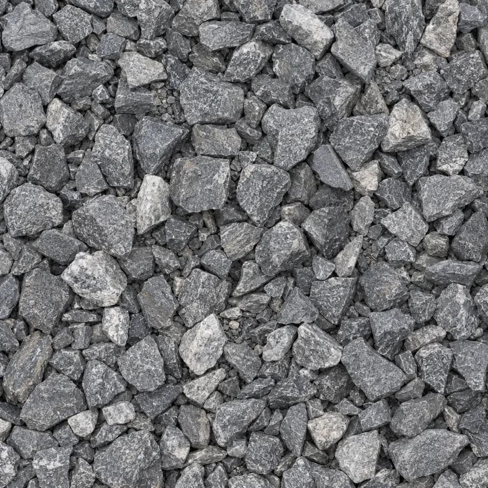 From$5642 ton delivered
3/4" Crushed Stone
Gravel and Crushed Stone- Size
- 3/4 inch
- Weight
- 2,700 lb/yd³
- Color
- Gray
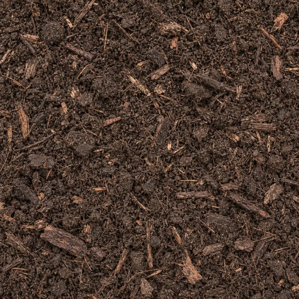 From$5732 yd delivered
Compost
Soil and Fill- Size
- Screened
- Weight
- 1,200 lb/yd³
- Color
- Dark brown
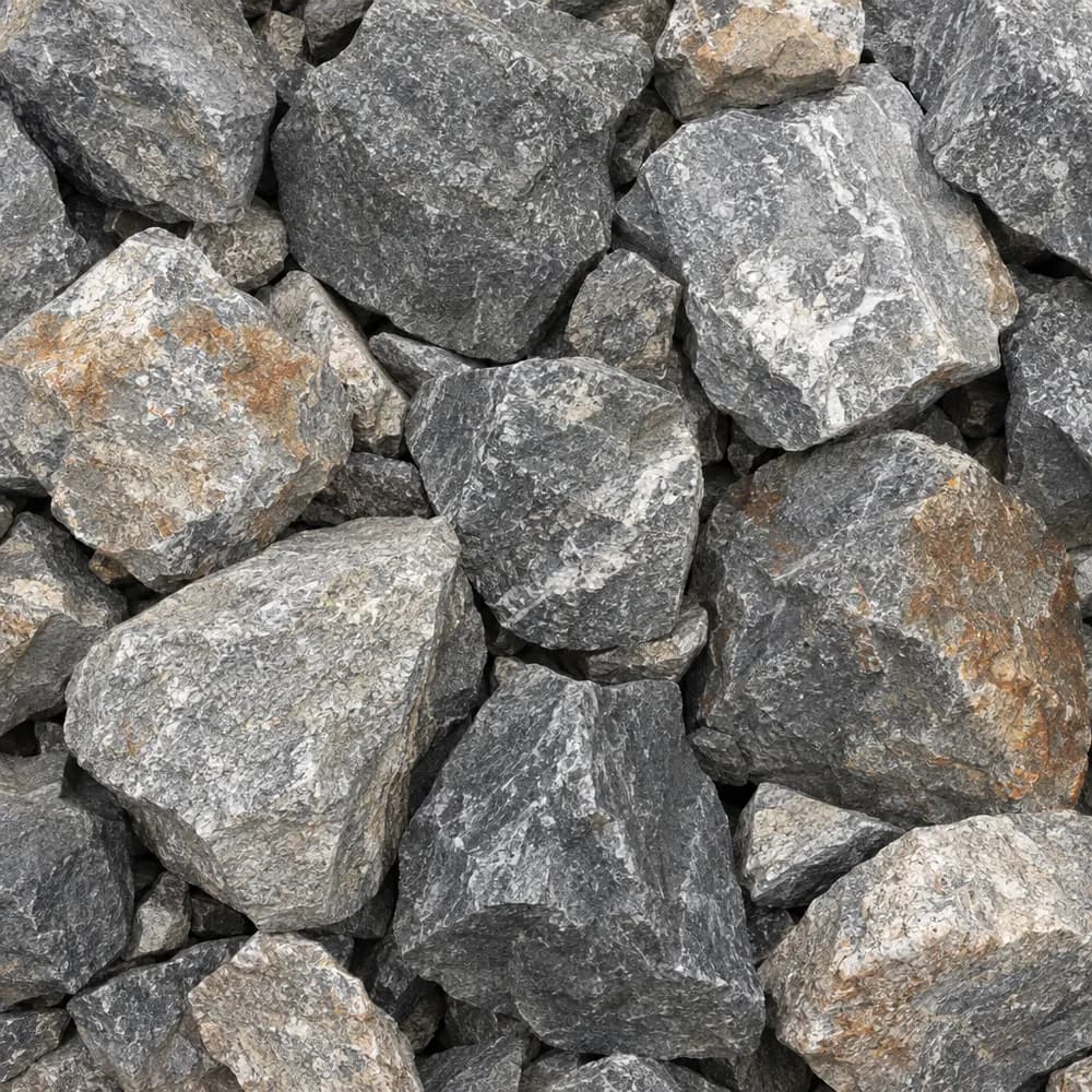 From$5792 ton delivered
Riprap
Drainage and Base- Size
- 6 to 12 inches
- Weight
- 2,700 lb/yd³
- Color
- Gray
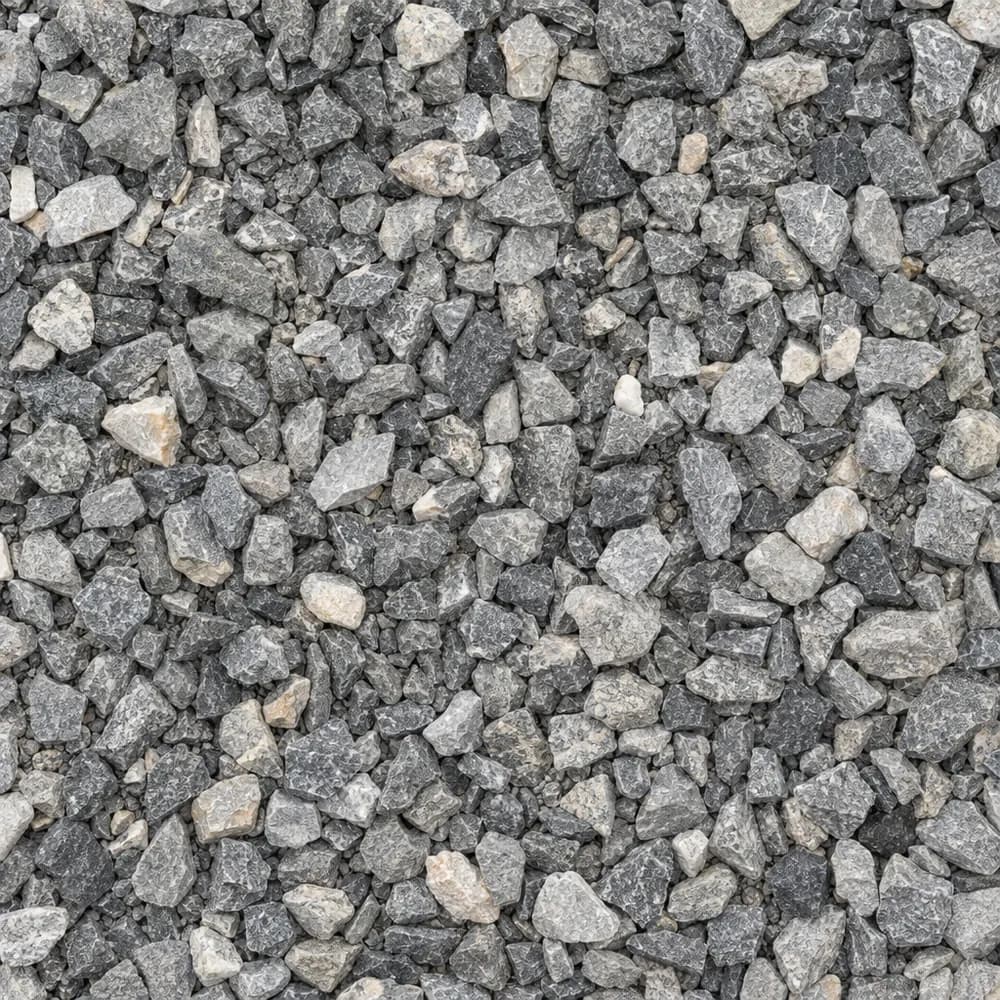 From$6252 ton delivered
3/8" Crushed Stone
Gravel and Crushed Stone- Size
- 3/8 inch
- Weight
- 2,700 lb/yd³
- Color
- Gray
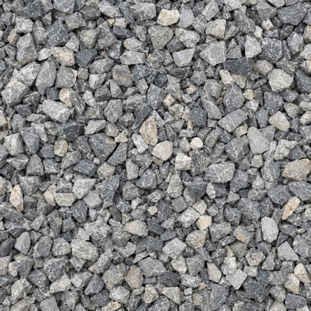 From$6262 ton delivered
#89 Crushed Stone
Gravel and Crushed Stone- Size
- 3/8 inch
- Weight
- 2,700 lb/yd³
- Color
- Gray
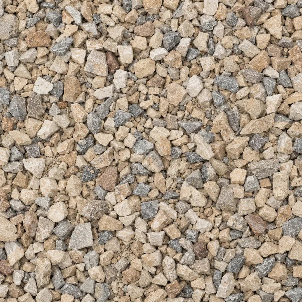 From$6262 ton delivered
Walkway Gravel
Driveway and Landscaping- Size
- 3/8 inch
- Weight
- 2,600 lb/yd³
- Color
- Mixed
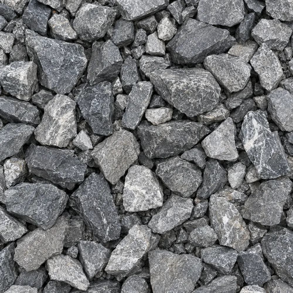 From$6362 ton delivered
Railroad Ballast
Gravel and Crushed Stone- Size
- 1-1/2 to 2-1/2 inches
- Weight
- 2,700 lb/yd³
- Color
- Gray
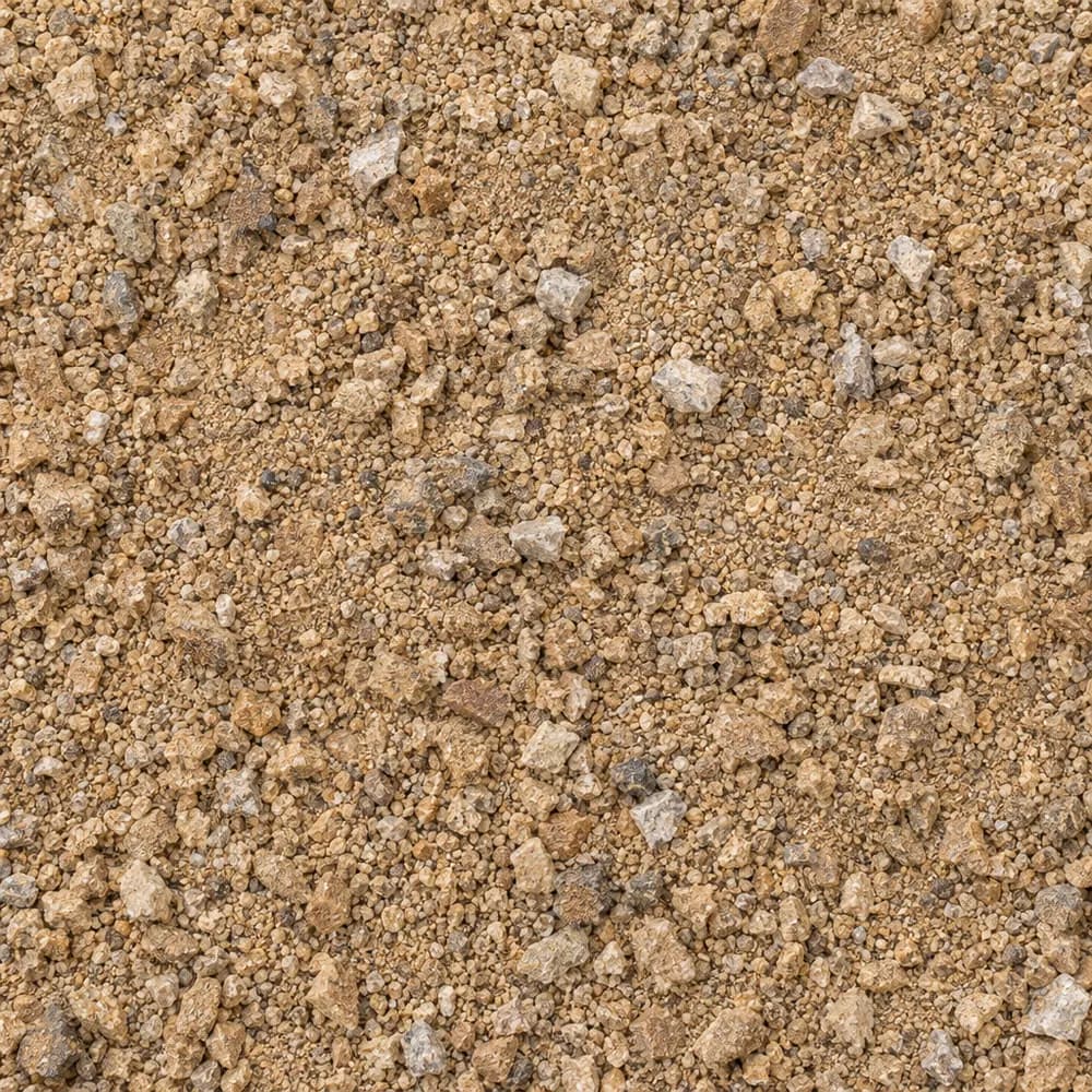 From$6872 ton delivered
Decomposed Granite
Driveway and Landscaping- Size
- 1/4 inch and fines
- Weight
- 2,500 lb/yd³
- Color
- Gold to tan
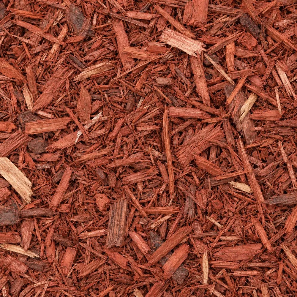 From$7032 yd delivered
Red Mulch
Mulch and Wood- Size
- Double shredded
- Weight
- 800 lb/yd³
- Color
- Red
 From$7212 yd delivered
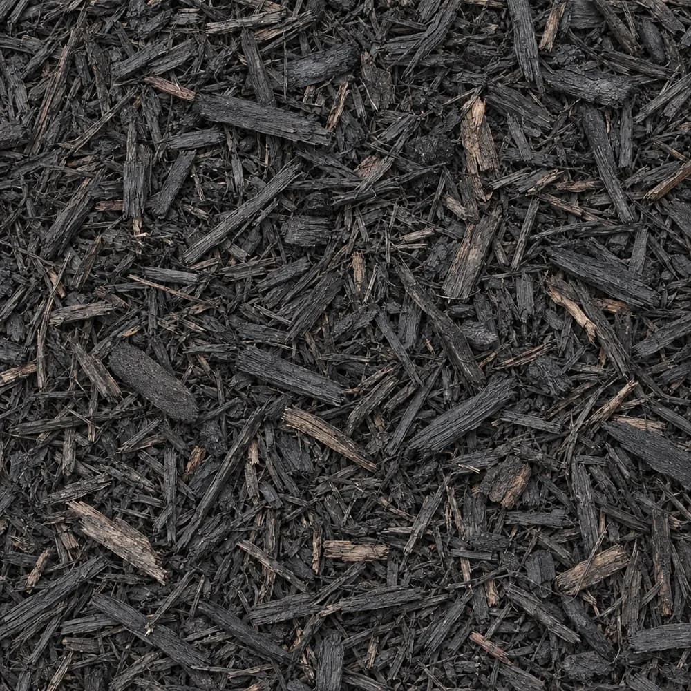
Black Shredded Mulch
Mulch and Wood- Size
- Double shredded
- Weight
- 800 lb/yd³
- Color
- Black
 From$7292 yd delivered
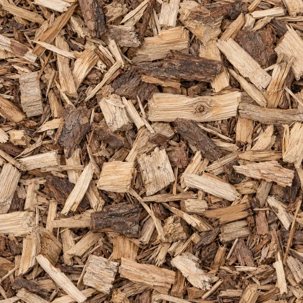
Wood Chips
Mulch and Wood- Size
- 1 to 3 inches
- Weight
- 700 lb/yd³
- Color
- Natural
Popular projects
Common gravel projects in Huntersville
The ground and weather in Huntersville
Monacan loam on a flood plain
At the center point of ZIP 28078, the USDA soil survey maps Monacan loam, 0 to 2 percent slopes, frequently flooded. Monacan makes up 80 percent of the unit. Its top mineral layer is loam, a balanced mix of sand, silt and clay.[1]
The words frequently flooded come from the map unit name. Soils like Monacan form along creeks, from silt and sand that floodwater leaves behind. Land in a unit with that name can take on water during big storms, and any project close to the center point should be planned with that in mind.[1]
The survey rates Monacan somewhat poorly drained and gives it hydrologic group B/D. The split means it behaves like group D, with very slow infiltration, while the water table is high, and like group B, with moderate infiltration, where it has been drained. Shrink-swell is low, at 1.5 percent. Wet ground is the main thing a stone project on Monacan loam has to beat, so every plan below starts with height and drainage.[1]
Hard rock beneath the creek ground
The state geologic map places a unit of Metamorphosed Quartz Diorite under the center point. Its rock is metadiorite, a hard, dark crystalline rock of Neoproterozoic age.[2]
Rock of this kind weathers into clay-rich material on the hills around a stream. In the creek bottom itself, the soil on top is mostly water-laid loam. The ground at the center point stands 680 feet above sea level.[2],[3]
For a builder, that means a trench near the creek may cut through soft, layered loam with sandy streaks and pebbles, left by old floods. Higher up the slope, the same trench may meet stiff red clay and, deeper down, weathered metadiorite. Plan the stone you need for each part of the job instead of assuming the whole lot is the same.[1],[2]
Rain and freezes from Charlotte Douglas
The NOAA normals station used here is Charlotte Douglas AP, NC, about 13 miles away. It averages 43.6 inches of precipitation and 3.5 inches of snow a year.[4]
Lows at that station reach 32 F or colder on 58 days a year. Its median last spring freeze is March 30, and its median first fall freeze is November 3.[4]
Rain and freezing nights hit hardest on wet, low ground. A base that sits in a high water table stays damp, and damp stone that freezes can loosen. Lifting the work above the wet layer and draining it well matters more here than on a hilltop lot.[1],[4]
Snow is light at 3.5 inches a year near the Charlotte station, but a few cold, wet days in winter can keep low ground soggy for a long time. Spring is the time to check a drive on Monacan loam. Look for ruts, potholes and soft edges after the median last freeze on March 30, and fix them before summer storms arrive.[1],[4]
Raising a drive above wet loam
On somewhat poorly drained ground, a drive needs height. Strip the topsoil, then bring in Fill Dirt to raise the subgrade above the yard around it, compacting it in thin layers. A raised bed for the drive keeps the base out of the wettest soil.[1]
Roll out a woven geotextile over the compacted fill. Then lay a coarse first layer of 1-1/2" Crushed Gravel or #4 Crushed Stone, which spreads the load and lets water move out of the base. Add Road Base on top in compacted lifts, and finish with Driveway Gravel or #57 Crushed Stone.[1]
Give the drive a clear crown and ditches on both sides where you can. If water crosses the drive in a storm, set a culvert pipe or a stone-filled trench at the low point and protect both ends with Riprap. A drive on flood-prone ground that lets water pass under it lasts far longer than one that tries to dam it.[1]
After any flood, inspect the drive. Water that ran across it may have washed fines out of the surface or left a layer of silt on top. Rake the silt off, refill any low spots with Road Base, compact them, and spread fresh Driveway Gravel. A quick repair keeps a small washout from growing.[1]
Patios and beds on low ground
A patio near the creek bottom should sit a little above the yard. Build a compacted base of Road Base or Crushed Concrete over fabric, add a level bed of Concrete Sand, and lay the pavers with a gentle pitch away from the house. A gravel patio of #57 Crushed Stone or Pea Gravel over the same base drains even faster.[1]
Plants that hate wet feet need raised beds here. Build them with Garden Soil or a mix of Topsoil and Compost, a few inches above the native loam. Cover them with Brown Shredded Mulch or Black Shredded Mulch, which mat together and do not float off as easily as loose chips in a flood.[1]
Along a stream bank on your property, Riprap over fabric protects the soil from being cut away by fast water.[1]
Rain gardens suit this kind of lot. A shallow, planted basin filled with a mix of Garden Soil and Compost catches runoff from a roof or a drive and lets it soak in slowly. On ground with a high water table, keep the basin shallow and place it where the yard is a little higher, so it can drain between storms.[1]
Homes in ZIP 28078 and the North Carolina spec
The Census counts 28,874 housing units in ZIP 28078. Detached single-family houses make up 75 percent of them, the median build year is 2004, and owners live in 72 percent of the occupied homes. Huntersville as a whole has 25,913 housing units, also 75 percent detached, with the same median build year of 2004.[5]
Many lots of that age have yards graded from mixed fill. Before a stone project, dig a test hole and look for layers. Gray or mottled soil near the surface is a sign of a high water table and a reason to raise the work.[1],[5]
Shed pads and play areas follow the same rule on this ground. Build the pad up a little above the yard with #57 Crushed Stone over fabric, so water drains out of the stone instead of pooling under the floor. Under a swing set, Playground Sand or Wood Chips over a layer of open stone dry out faster after rain.[1]
NCDOT, the North Carolina Department of Transportation, writes its standard for the stone layer under roads as Aggregate Base Course, Section 520, in the Standard Specifications for Roads and Structures (January 2024).[6]
The numbers behind this page
| Fact | Value | Applies to | Source |
|---|---|---|---|
| Soil map unit at the ZIP's center point | Monacan loam, 0 to 2 percent slopes, frequently flooded | City center point | [1] |
| Main soil series | Monacan (80 percent of the map unit) | City center point | [1] |
| Texture of the top mineral soil layer | loam | City center point | [1] |
| Drainage class | somewhat poorly drained | City center point | [1] |
| Hydrologic soil group | B/D (D while the water table is high, B where drained) | City center point | [1] |
| Shrink-swell in the top 100 cm (linear extensibility) | low, 1.5 percent | City center point | [1] |
| Mapped geologic unit at the ZIP's center point | Metamorphosed Quartz Diorite | City center point | [2] |
| Rock or sediment type of that unit | metadiorite | City center point | [2] |
| Geologic age of that unit | Neoproterozoic | City center point | [2] |
| Ground elevation at the ZIP's center point | 680 feet | City center point | [3] |
| NOAA normals station used | Charlotte Douglas AP, NC, about 13 miles away | Weather station | [4] |
| Average yearly precipitation | 43.6 inches | Weather station | [4] |
| Average yearly snowfall | 3.5 inches | Weather station | [4] |
| Days a year the low reaches 32 F or colder | 58 days | Weather station | [4] |
| Median date of the last spring freeze (32 F) | March 30 | Weather station | [4] |
| Median date of the first fall freeze (32 F) | November 3 | Weather station | [4] |
| Housing units in ZIP 28078 | 28,874 | This ZIP | [5] |
| Share of homes in ZIP 28078 that are detached single-family houses | 75 percent | This ZIP | [5] |
| Median year homes in ZIP 28078 were built | 2004 | This ZIP | [5] |
| Share of occupied homes in ZIP 28078 lived in by the owner | 72 percent | This ZIP | [5] |
| Housing units in Huntersville | 25,913 | Whole city | [5] |
| Share of homes in Huntersville that are detached single-family houses | 75 percent | Whole city | [5] |
| Median year homes in Huntersville were built | 2004 | Whole city | [5] |
| North Carolina Department of Transportation aggregate base specification | Aggregate Base Course, Section 520, Standard Specifications for Roads and Structures (January 2024) | State | [6] |
Sources
- USDA NRCS Soil Data Access (SSURGO soil survey), retrieved 2026-10-31
- USGS State Geologic Map Compilation (Horton and others, 2017), queried through the Macrostrat API, retrieved 2026-10-31
- USGS Elevation Point Query Service (3DEP), retrieved 2026-10-31
- NOAA NCEI U.S. Climate Normals 1991-2020, annual and seasonal, retrieved 2026-10-30
- U.S. Census Bureau, American Community Survey 2020-2024 5-year estimates (tables B25001, B25003, B25024, B25035), retrieved 2026-10-30
- North Carolina Department of Transportation, Standard Specifications for Roads and Structures (January 2024), Section 520, retrieved 2026-10-29
Point and station values describe one spot, not every lot in town. Check your own site before you build.
Nearby
Nearby cities we serve
Delivery
Your delivery in Huntersville
- Minimum order
- 2 tons or 2 cubic yards
- Delivered price from
- $432 for 2 tons of Fill Dirt
- Priced from
- Huntersville, NC ladder (this city)
We coordinate the truck from the yards that serve Huntersville; we do not run a yard in town.
Coverage map
Where we deliver in Huntersville
The drawing shows the nearest cities we price around Huntersville, at true bearing and distance. Outside the rings, enter your ZIP and we quote the haul from the nearest ladder.
Need bulk material delivered in Huntersville?
Delivered prices on every card, or send the job and we price it by hand.
Tools
Helpful calculators
Frequently Asked Questions
How do I build a gravel drive on wet ground in Huntersville?
Raise it and drain it. On the somewhat poorly drained Monacan loam mapped at the center point of ZIP 28078, build up the subgrade with compacted Fill Dirt, lay fabric, add a coarse layer of 1-1/2" Crushed Gravel, then Road Base, then a top of Driveway Gravel. Ditch both sides where you can.
What does frequently flooded mean for my yard?
It is part of the map unit name for the soil at the center point. It means the survey expects soils of that unit to flood often along creeks. If your lot is low and near a stream, raise drives, patios and beds above the wet ground, and let water pass under paths through culverts or stone trenches.
Which stone is best for drainage on low ground?
Clean stone with open gaps moves water best. #57 Crushed Stone and Drain Rock are the usual choices for French drains and dry wells. Wrap them in fabric so loam and silt cannot clog the gaps. For a channel that carries fast water, line the bottom with River Rock or Riprap.
What goes under pavers here?
Lay fabric over firm ground, then build a compacted base of Road Base or Crushed Concrete in thin layers. On wet loam, raise the base a little above the yard. Spread and level a bed of Concrete Sand, set the pavers, sweep sand into the joints, and pitch the surface so rain runs off.
Which mulch stays put in a flood-prone bed?
Shredded mulch mats together and holds better than loose chips when water moves across a bed. Brown Shredded Mulch or Black Shredded Mulch are good choices. Raise beds above the native loam with Garden Soil, and edge them so the mulch stays in place.
When is the freeze risk over near Huntersville?
At the Charlotte Douglas station, the median last spring freeze is March 30 and the median first fall freeze is November 3. That station counts 58 days a year with a low of 32 F or colder. Plan tender plantings after the spring date, and finish base work before wet winter weather.