
Service area · AR
Crushed Stone, Gravel and Soil Delivery in Fayetteville, AR
Bulk gravel, crushed stone, sand, soil and mulch delivered across Fayetteville, AR, priced by the load for your ZIP.
- Min. order
- 2 tons or 2 yd³
- Area
- Fayetteville and nearby ZIPs
- From
- $430 delivered
Every price below is the delivered total.
Gravel Valet hauls bulk crushed stone, gravel, sand, soil and mulch to Fayetteville homes and lots. Enter your ZIP above to see the options for your address.
The advice below works from the steep, stony Enders soil at the ZIP's center point, the layered limestone and shale below it and the rain at a nearby airport station, so each load suits hill country ground.
Plan
How much do you need?
Work out your material
In stock
Materials available in Fayetteville
Every price is the delivered total for 2 tons or yards, in whole dollars.
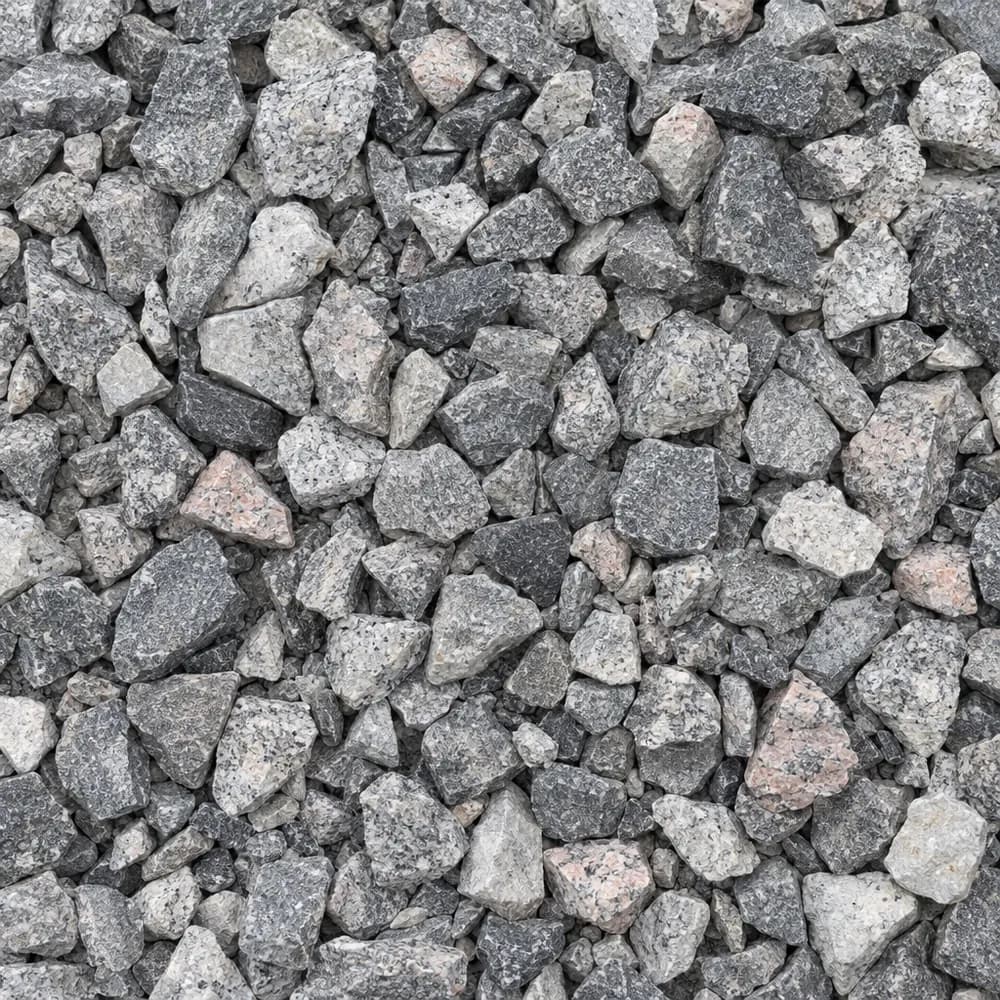 From$4842 ton delivered
#57 Crushed Stone
Gravel and Crushed Stone- Size
- 3/4 to 1 inch
- Weight
- 2,700 lb/yd³
- Color
- Gray
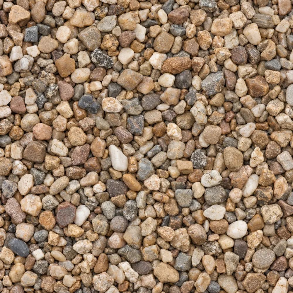 From$4772 ton delivered
Pea Gravel
Driveway and Landscaping- Size
- 3/8 inch
- Weight
- 2,600 lb/yd³
- Color
- Mixed tan and brown
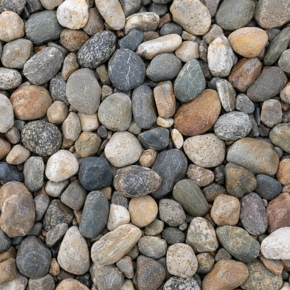 From$8482 ton delivered
River Rock
Driveway and Landscaping- Size
- 1 to 3 inches
- Weight
- 2,600 lb/yd³
- Color
- Mixed earth tones
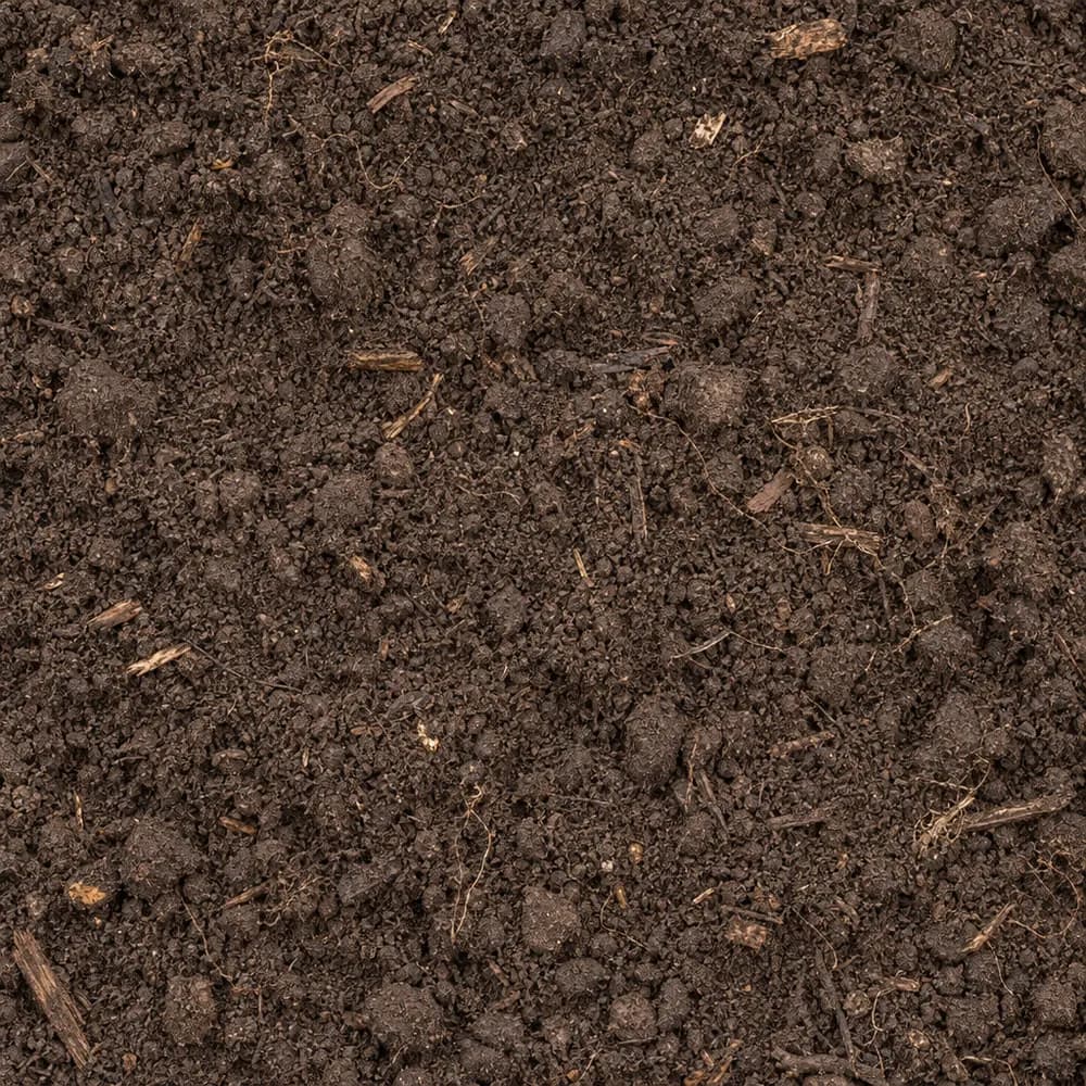 From$6982 ton delivered
Topsoil
Soil and Fill- Size
- Screened
- Weight
- 2,200 lb/yd³
- Color
- Dark brown
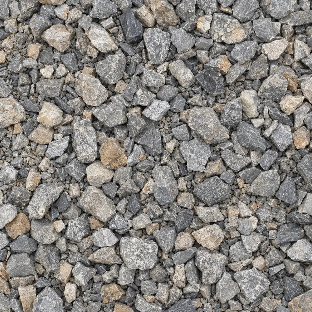 From$4822 ton delivered
Driveway Gravel
Driveway and Landscaping- Size
- 3/4 inch clean crushed
- Weight
- 2,700 lb/yd³
- Color
- Gray
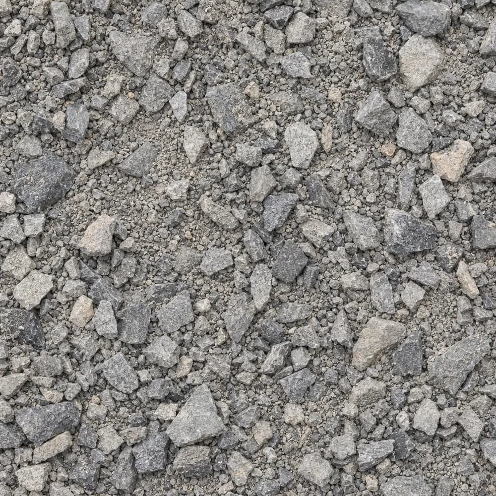 From$4352 ton delivered
Road Base
Drainage and Base- Size
- 3/4 inch minus
- Weight
- 2,800 lb/yd³
- Color
- Gray
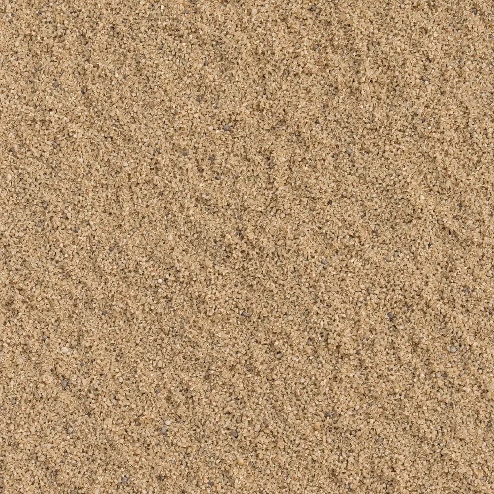 From$1,0022 ton delivered
Mason Sand
Sand- Size
- Fine
- Weight
- 2,700 lb/yd³
- Color
- Tan
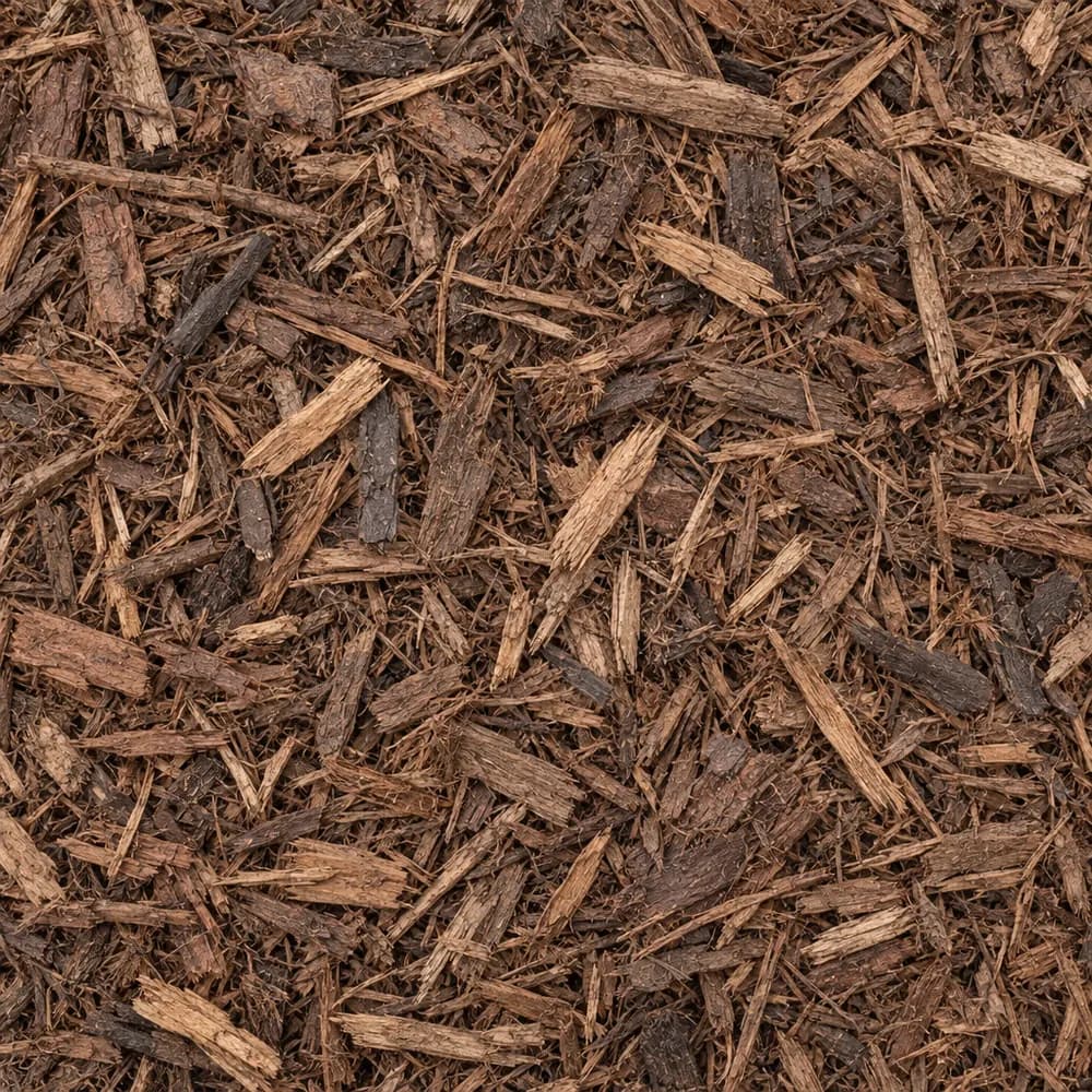 From$1,3492 yd delivered
Brown Shredded Mulch
Mulch and Wood- Size
- Double shredded
- Weight
- 800 lb/yd³
- Color
- Brown
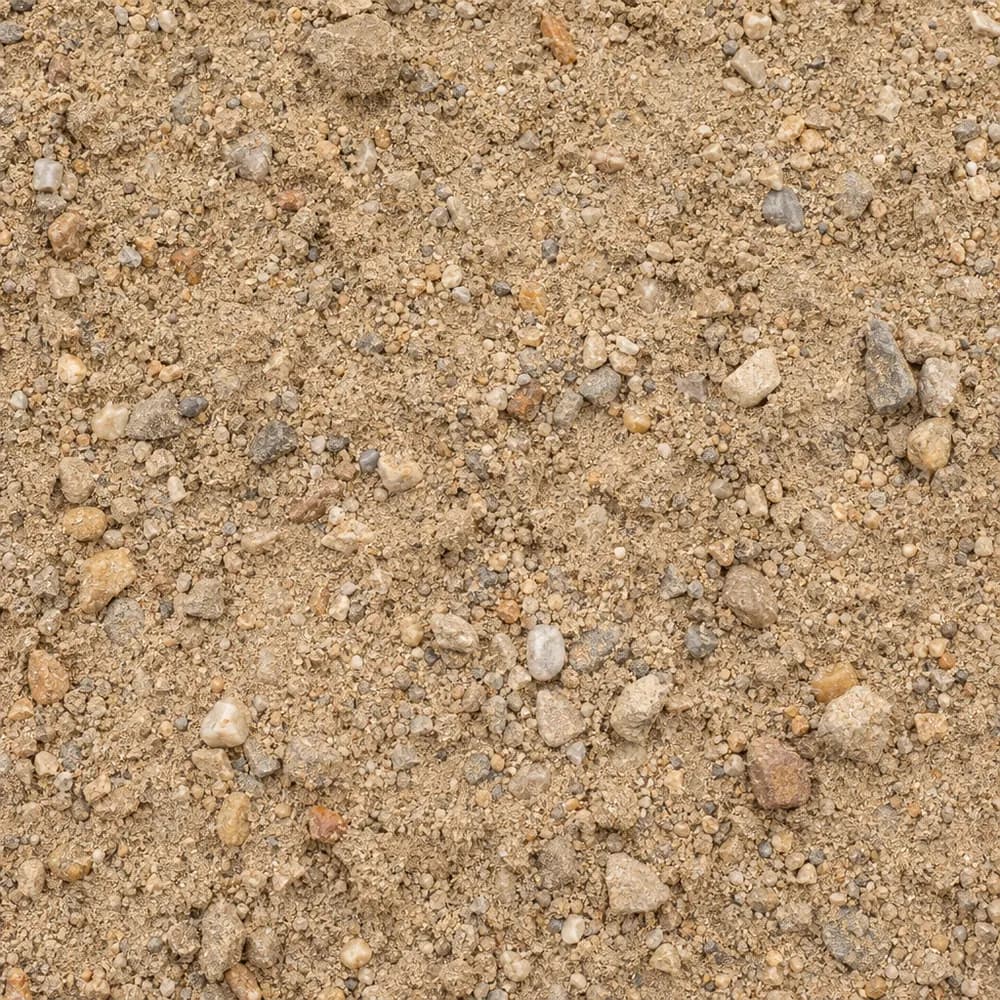 From$4302 ton delivered
Fill Sand
Sand- Size
- Unscreened
- Weight
- 2,700 lb/yd³
- Color
- Tan
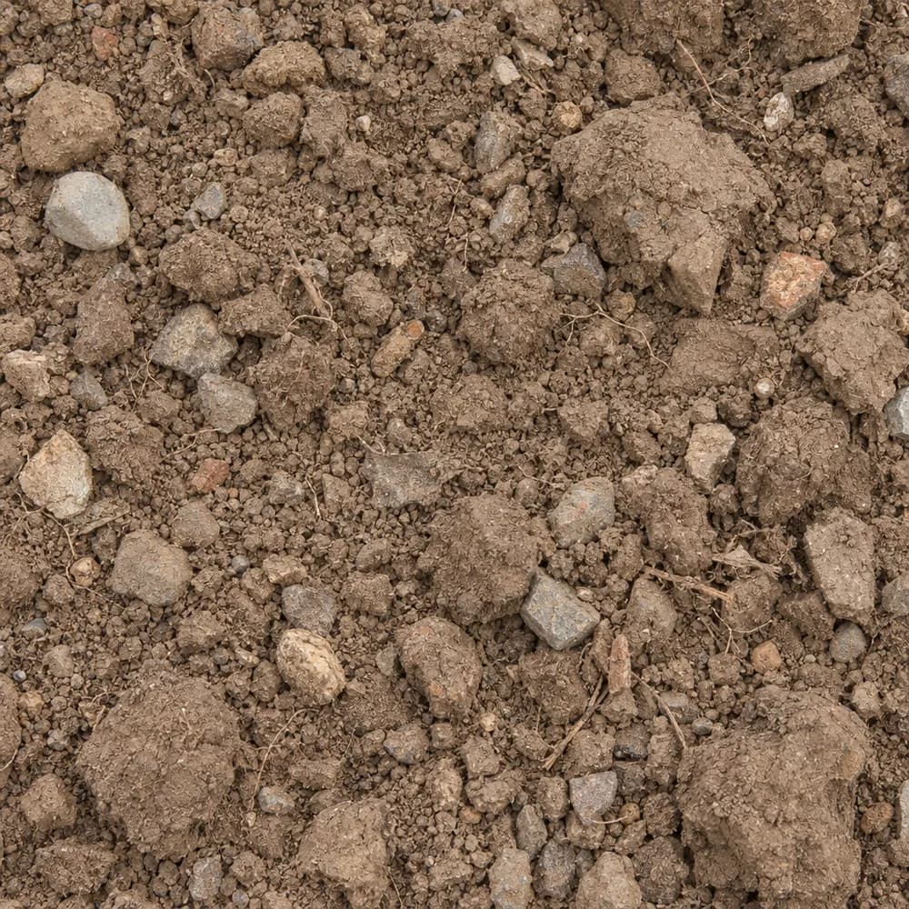 From$4342 ton delivered
Fill Dirt
Soil and Fill- Size
- Unscreened
- Weight
- 2,400 lb/yd³
- Color
- Brown
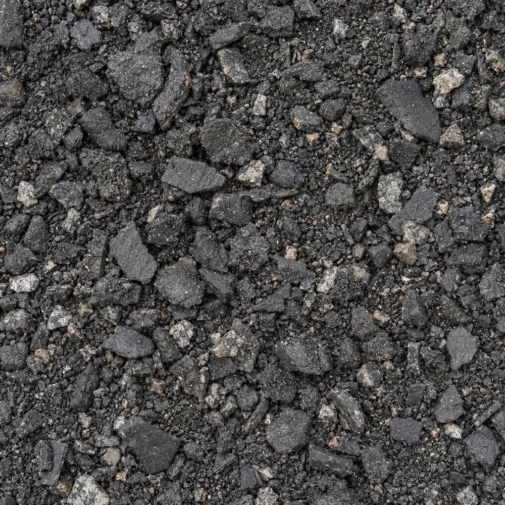 From$4452 ton delivered
Asphalt Millings
Driveway and Landscaping- Size
- 1 inch minus
- Weight
- 2,900 lb/yd³
- Color
- Black
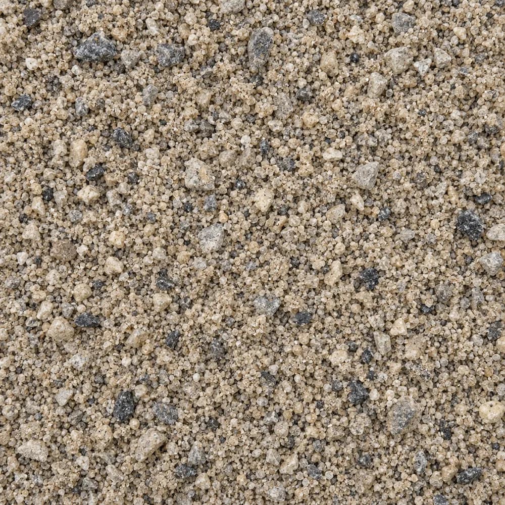 From$4502 ton delivered
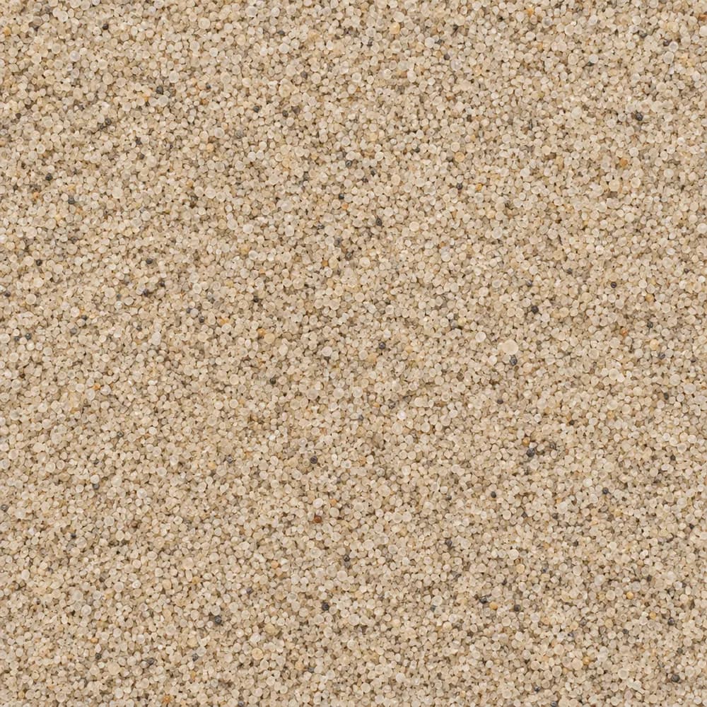
Concrete Sand
Sand- Size
- Coarse
- Weight
- 2,700 lb/yd³
- Color
- Tan to gray
 From$4552 ton delivered
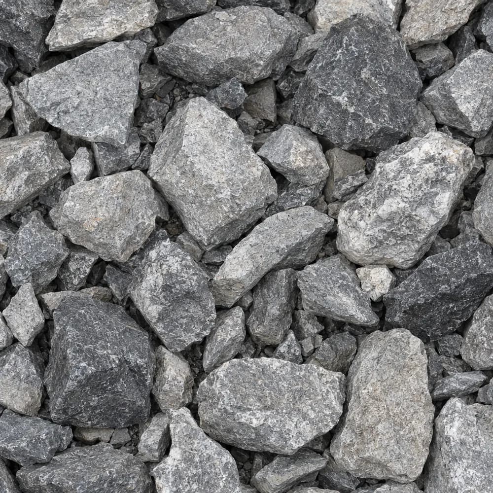
Playground Sand
Sand- Size
- Fine, washed
- Weight
- 2,700 lb/yd³
- Color
- Light tan
 From$4632 ton delivered
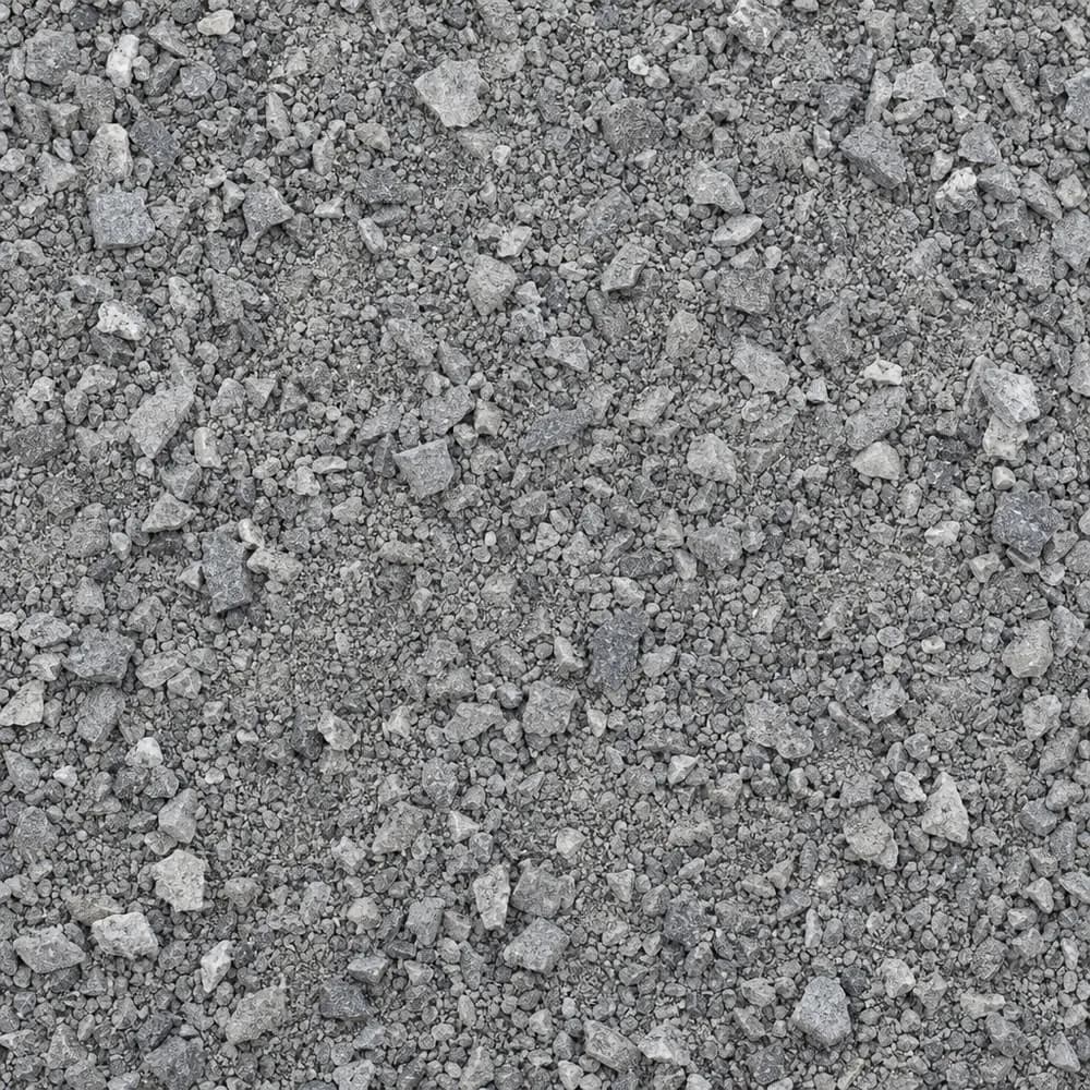
#4 Crushed Stone
Gravel and Crushed Stone- Size
- 1-1/2 to 2-1/2 inches
- Weight
- 2,700 lb/yd³
- Color
- Gray
 From$4642 ton delivered
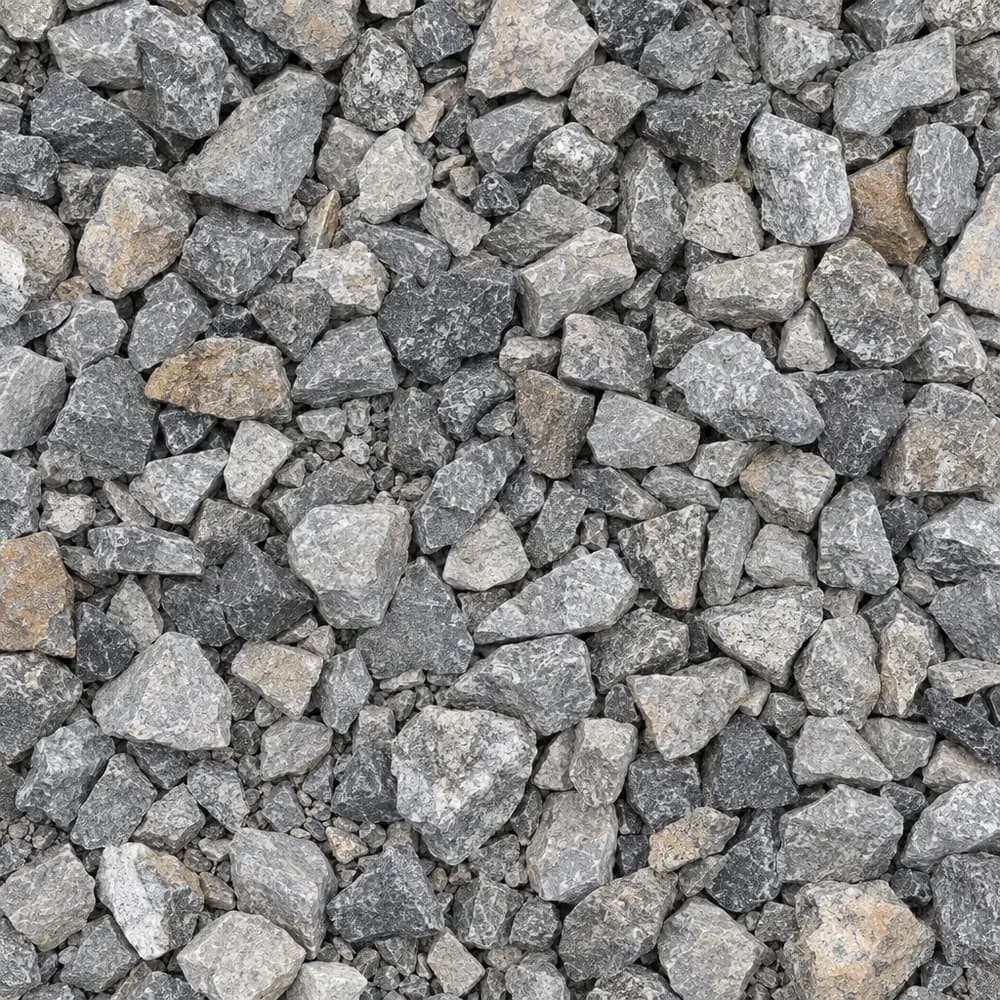
Stone Dust Screenings
Drainage and Base- Size
- 1/4 inch and fines
- Weight
- 2,800 lb/yd³
- Color
- Gray
 From$4652 ton delivered
Drain Rock
Drainage and Base- Size
- 3/4 to 1-1/2 inches
- Weight
- 2,700 lb/yd³
- Color
- Gray
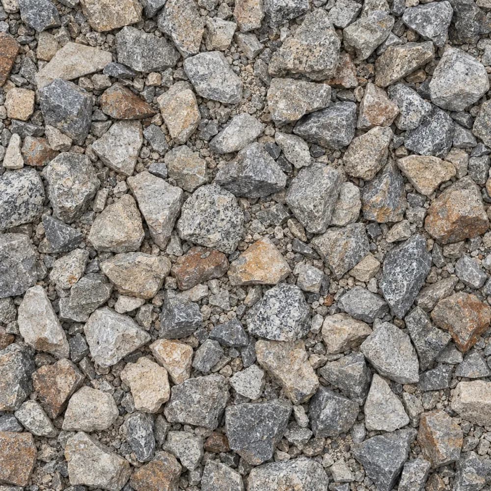 From$4672 ton delivered
1-1/2" Crushed Gravel
Gravel and Crushed Stone- Size
- 1-1/2 inch
- Weight
- 2,700 lb/yd³
- Color
- Gray to tan
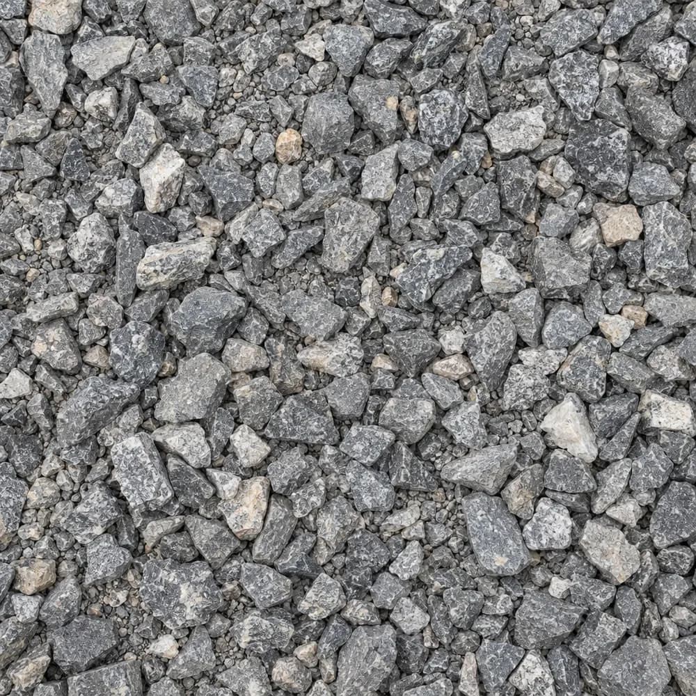 From$4822 ton delivered
#67 Stone
Gravel and Crushed Stone- Size
- 3/4 inch and under
- Weight
- 2,700 lb/yd³
- Color
- Gray
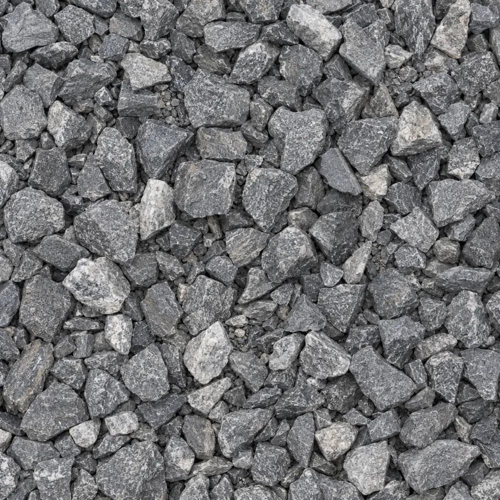 From$4822 ton delivered
3/4" Crushed Stone
Gravel and Crushed Stone- Size
- 3/4 inch
- Weight
- 2,700 lb/yd³
- Color
- Gray
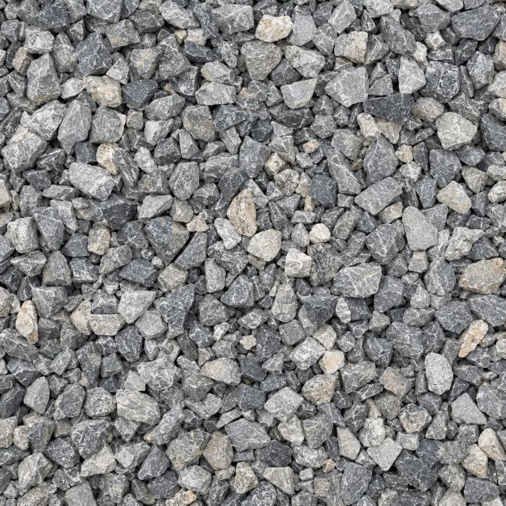 From$4842 ton delivered
#89 Crushed Stone
Gravel and Crushed Stone- Size
- 3/8 inch
- Weight
- 2,700 lb/yd³
- Color
- Gray
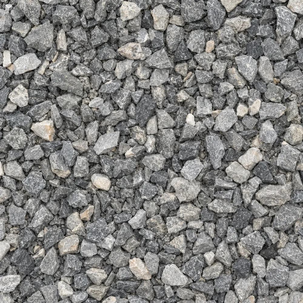 From$4852 ton delivered
3/8" Crushed Stone
Gravel and Crushed Stone- Size
- 3/8 inch
- Weight
- 2,700 lb/yd³
- Color
- Gray
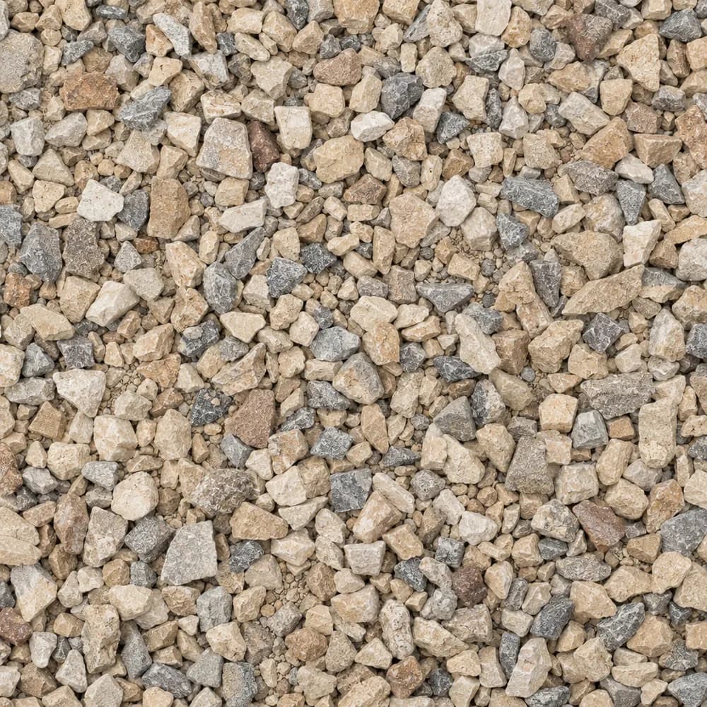 From$4872 ton delivered
Walkway Gravel
Driveway and Landscaping- Size
- 3/8 inch
- Weight
- 2,600 lb/yd³
- Color
- Mixed
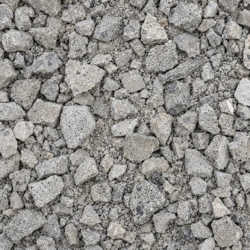 From$4882 ton delivered
Crushed Concrete
Driveway and Landscaping- Size
- 3/4 inch minus
- Weight
- 2,600 lb/yd³
- Color
- Light gray
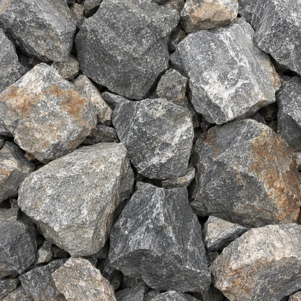 From$4952 ton delivered
Riprap
Drainage and Base- Size
- 6 to 12 inches
- Weight
- 2,700 lb/yd³
- Color
- Gray
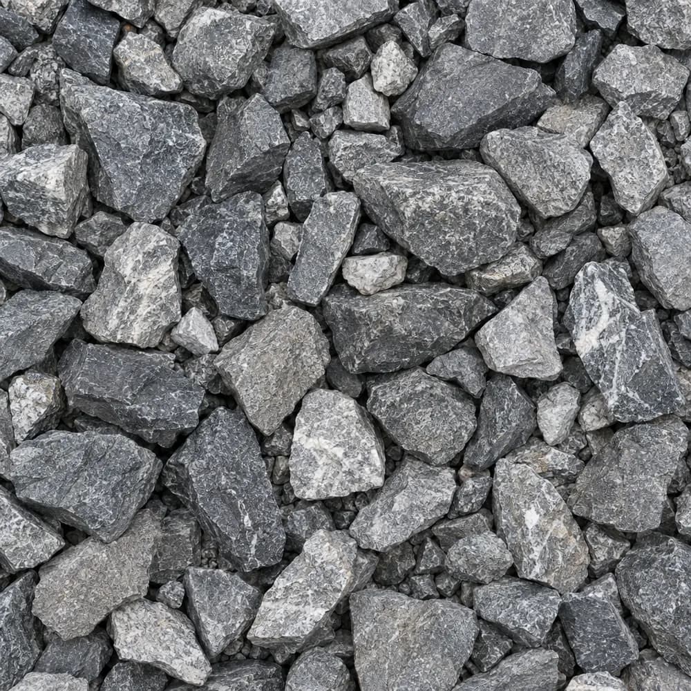 From$6402 ton delivered
Railroad Ballast
Gravel and Crushed Stone- Size
- 1-1/2 to 2-1/2 inches
- Weight
- 2,700 lb/yd³
- Color
- Gray
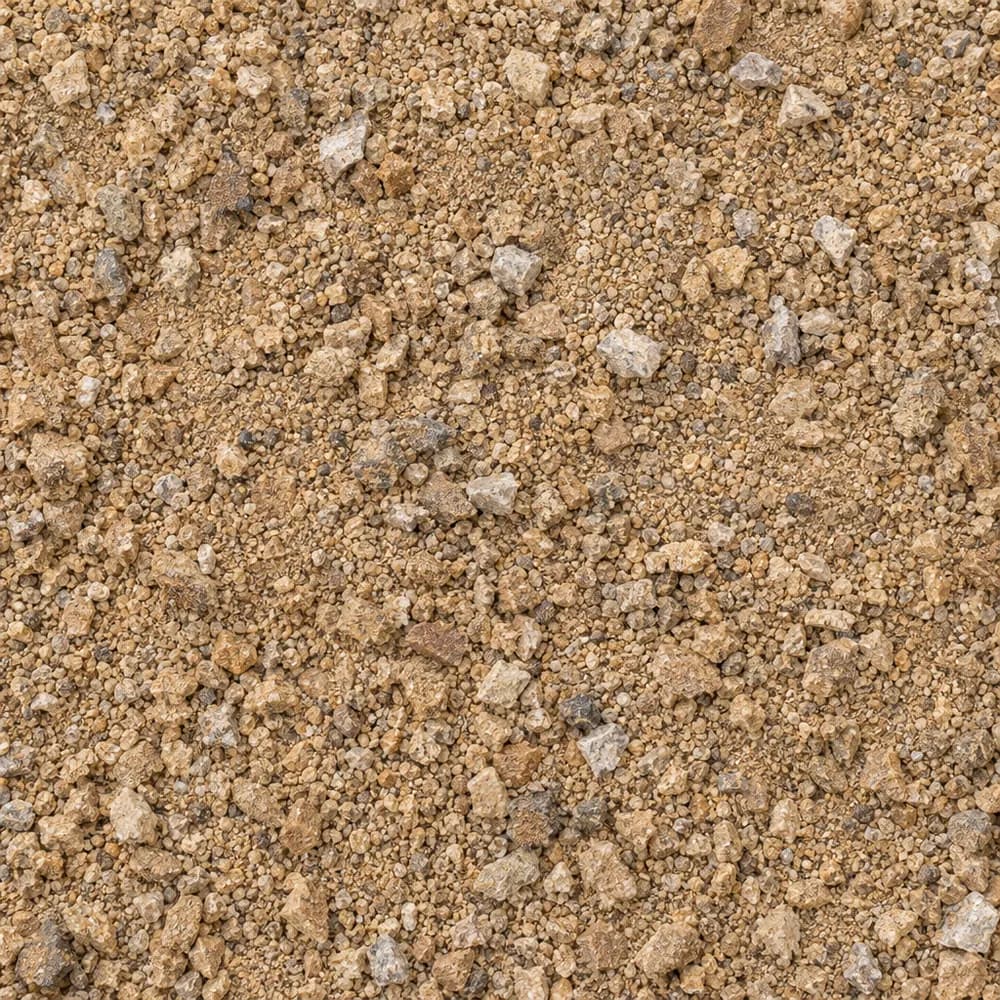 From$6492 ton delivered
Decomposed Granite
Driveway and Landscaping- Size
- 1/4 inch and fines
- Weight
- 2,500 lb/yd³
- Color
- Gold to tan
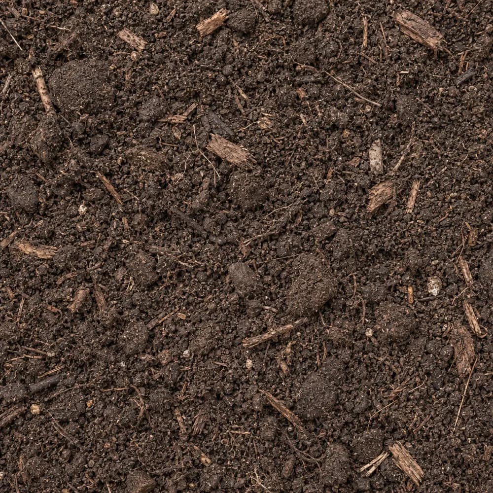 From$7262 ton delivered
Garden Soil
Soil and Fill- Size
- Blended
- Weight
- 2,000 lb/yd³
- Color
- Dark brown
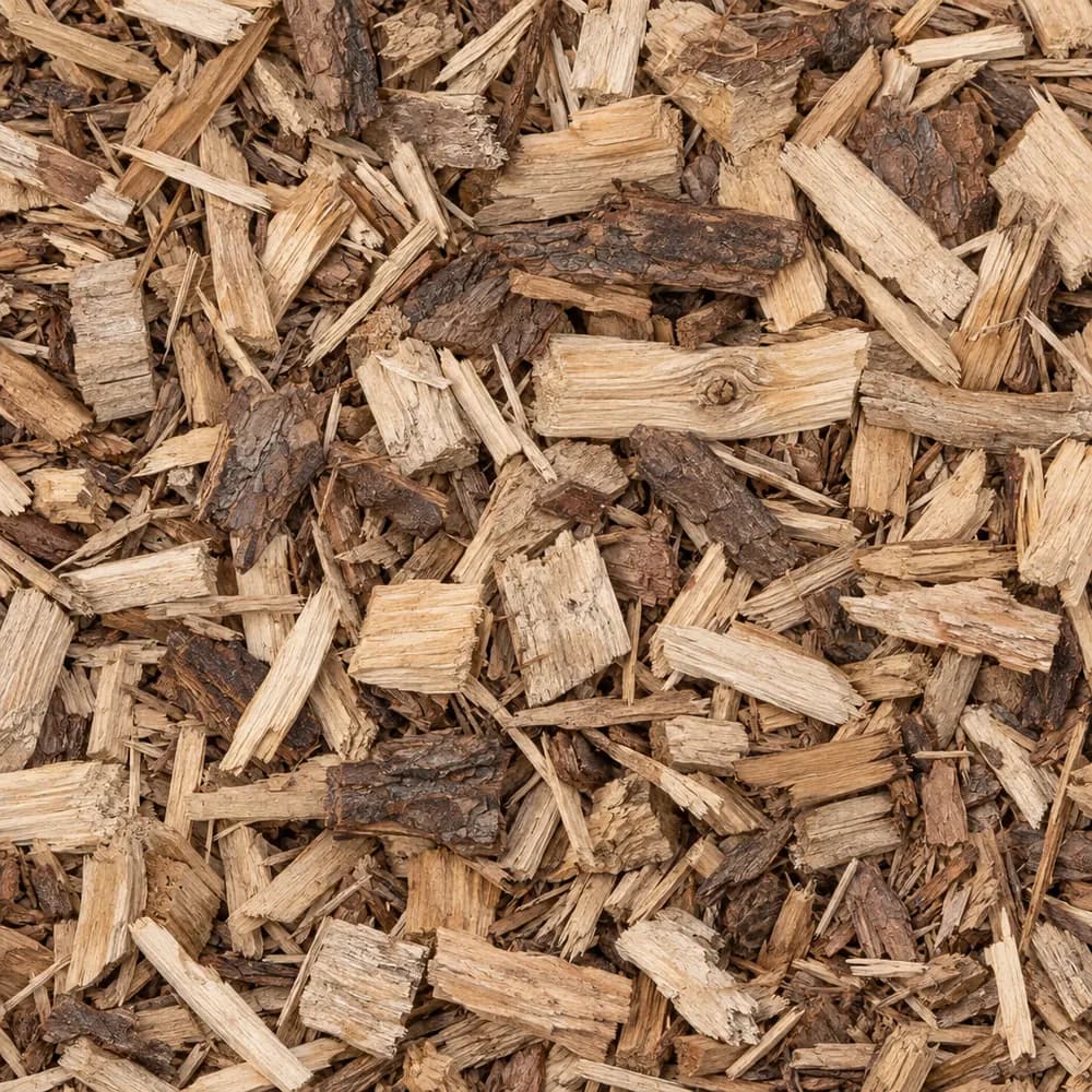 From$7272 yd delivered
Wood Chips
Mulch and Wood- Size
- 1 to 3 inches
- Weight
- 700 lb/yd³
- Color
- Natural
 From$8092 yd delivered
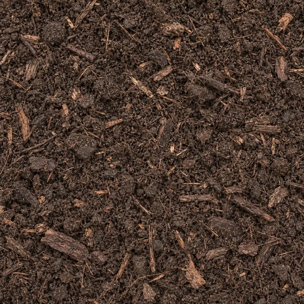
Compost
Soil and Fill- Size
- Screened
- Weight
- 1,200 lb/yd³
- Color
- Dark brown
 From$1,3192 yd delivered
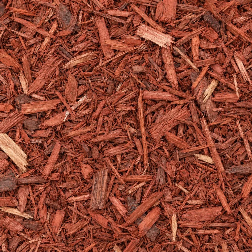
Red Mulch
Mulch and Wood- Size
- Double shredded
- Weight
- 800 lb/yd³
- Color
- Red
 From$1,3562 yd delivered
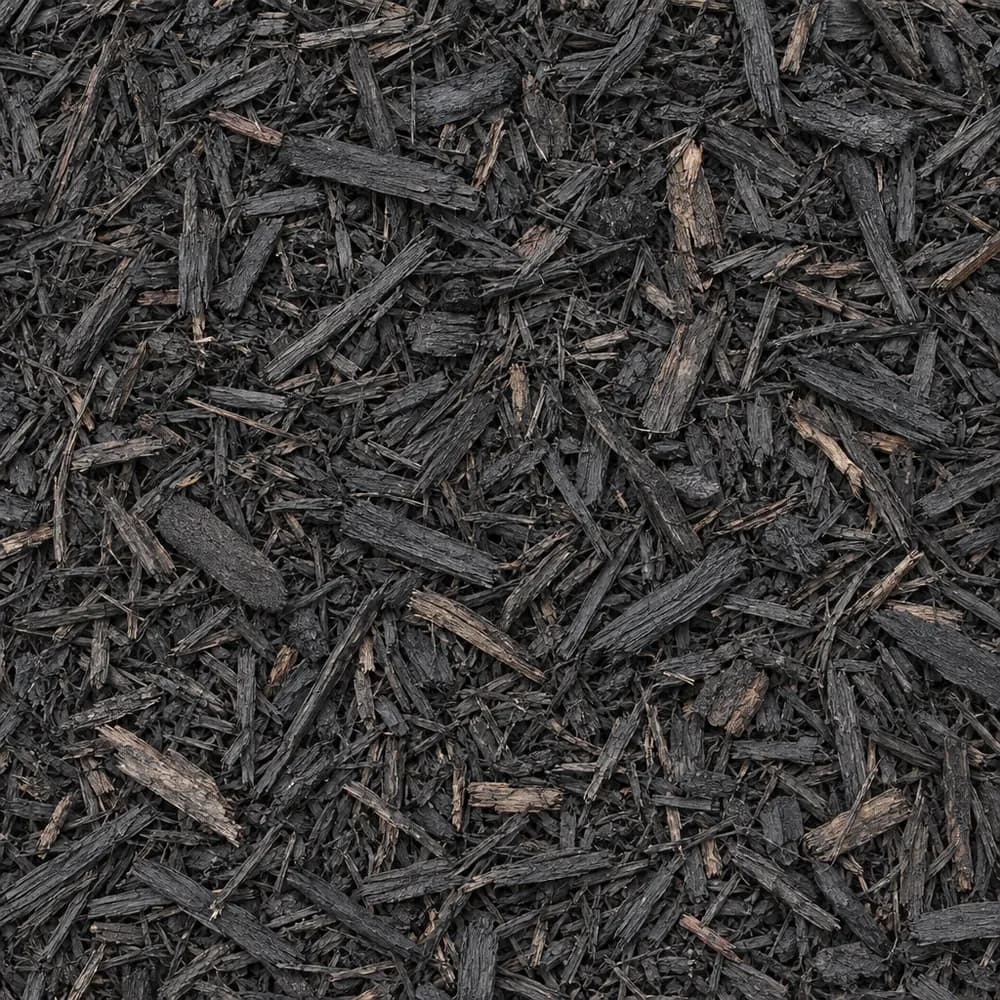
Black Shredded Mulch
Mulch and Wood- Size
- Double shredded
- Weight
- 800 lb/yd³
- Color
- Black
Popular projects
Common gravel projects in Fayetteville
The ground and weather in Fayetteville
Steep Enders soil with stones and swelling clay
The USDA soil survey maps the Enders-Leesburg complex, 20 to 40 percent slopes, at the ZIP's center point, and the Enders series makes up 50 percent of that map unit. Slopes in that range are steep enough that water, soil and loose gravel all head downhill fast whenever it rains.[1]
The top mineral layer is stony loam, so a shovel will strike rock often. Deeper down, the survey rates shrink-swell in the top 100 cm as high, at 7.5 percent linear extensibility. That means clay layers under the stony surface swell hard when soaked and shrink back as they dry, enough to crack walls, tilt steps and shift a slab.[1]
The Enders soil is rated well drained, yet it sits in hydrologic group D, with very slow infiltration and high runoff. The survey also lists paralithic bedrock at about 54 inches, a soft rock layer that roots and water pass through slowly. Put those together and you get ground where rain runs off the surface rather than soaking in, which is the main thing every project here has to manage.[1]
Limestone, shale and sandstone below
The state geologic map shows a stack of Mississippian rock under the center point: Pitkin Limestone, Fayetteville Shale (including the Wedington Sandstone member), and Batesville Sandstone (including the Hindsville Limestone Member). Together they are made of sandstone, shale and limestone, laid down in layers when shallow seas covered the region.[2]
Those layers explain the stony loam on top. Sandstone and limestone break into the stones a shovel hits, and shale weathers into the clay that swells below. When digging a trench or a footing, expect to pass through soft shale and hard rock in a short distance, and allow extra time for breaking through ledges.[1],[2]
The ground at the survey point stands 1,540 feet above sea level.[3]
That height belongs to one mapped point on a steep hillside, so neighboring yards can sit noticeably higher or lower. What matters for a project is the fall across your own lot, which on a 20 to 40 percent slope can be dramatic over a short distance. Measure it with a string line before ordering, since a steep run needs more base and more drainage stone than a flat one of the same size.[1],[3]
Rain, snow and freeze at Drake Field
Weather normals come from the NOAA station at Fayetteville Drake FLD, AR, about 6 miles away. It averages 47.0 inches of precipitation and 6.5 inches of snow a year. On steep group D ground, a heavy storm becomes fast surface runoff in minutes.[4]
The Drake Field station counts 94 days a year when the low drops to 32 F or colder. Wet clay that freezes overnight and thaws by afternoon heaves and loosens the ground, so a base on this soil has to stay as dry as possible.[4]
The median last spring freeze at the station is April 15, and the median first fall freeze is October 21. Plant tender crops after mid April, and plan base work for dry spells within that window.[4]
A hillside drive that stays in place
On 20 to 40 percent slopes, a gravel drive has two enemies: runoff that cuts ruts down its length and swelling clay that softens the base. Start by cutting the drive into the slope with a cross slope toward the uphill ditch. A ditch or a Drain Rock trench on the uphill side catches water before it crosses the drive, and culverts or rock-lined dips carry it under or across at intervals.[1],[4]
Lay woven fabric on the subgrade, then build compacted Road Base in thin lifts. On high shrink-swell clay, the fabric keeps clay from mixing into the stone each time the ground swells. Where the drive crosses a wet spot, add a layer of #4 Crushed Stone or 1-1/2" Crushed Gravel under the Road Base for drainage and strength.[1]
For the top, Asphalt Millings hold best on a steep grade, since they bind into a firm crust. 3/4" Crushed Stone and Driveway Gravel work on gentler sections. Build water bars, low humps of compacted base set at an angle, every so often on the steepest stretch to turn runoff off the drive.[1]
Slopes, beds and erosion control
With very slow infiltration and high runoff, bare soil on a slope here washes away quickly in heavy rain. Cover it. Shredded mulch knits together and stays put better than loose chips, so Brown Shredded Mulch or Black Shredded Mulch is the better choice on slopes. At the foot of a slope, a band of Riprap slows water and catches soil before it reaches a drive or patio.[1],[4]
Stony loam over clay makes digging beds slow work. Raised beds filled with Garden Soil skip the rock entirely, and terraced beds held with stone turn a steep yard into flat planting steps. In the ground, blend Compost and Topsoil into the top layer to loosen the clay.[1]
Along foundations, a strip of River Rock or #57 Crushed Stone over fabric keeps water from soaking in right next to the wall, where swelling clay can do the most damage.[1]
Riprap or River Rock for a hillside channel
On group D ground, the runoff from a big storm needs a defined path down the slope, or it cuts its own. Owners tend to pick between Riprap and River Rock to line that channel. Riprap is large, angular stone that locks together and stays put even when water rushes over it, which makes it the right choice for the steep upper sections and for outlets where a ditch or culvert empties onto bare ground.[1],[4]
River Rock is smaller and rounded, so it looks like a natural creek and works well in gentler stretches and in the visible parts of a yard. On slopes of 20 to 40 percent, though, rounded stone can roll and wash away in a hard rain. A good plan is fabric along the full channel, Drain Rock as a bedding layer, Riprap where the grade is steepest or the water turns, and River Rock on the flatter runs near the house. With 47.0 inches of yearly precipitation at Drake Field, the channel will carry water often, so build it wide enough to handle a heavy storm.[1]
Housing in ZIP 72701 and the ArDOT base spec
The Census counts 20,729 housing units in ZIP 72701. Detached single-family houses make up 51 percent of them, and owners live in 43 percent of the occupied homes.[5]
Fayetteville as a whole holds 45,303 housing units, and 50 percent are detached houses. The median home dates from 1993 in the ZIP and 1997 across the city. With a mix of houses and rentals, orders range from a few yards of mulch for a slope to a full truck of base for a hillside drive.[5]
The Arkansas Department of Transportation specifies Aggregate Base Course, Class 7, under Section 303 of its Standard Specifications for Highway Construction (2014). That section covers the compacted stone layer under state roads.[6]
The numbers behind this page
| Fact | Value | Applies to | Source |
|---|---|---|---|
| Soil map unit at the ZIP's center point | Enders-Leesburg complex, 20 to 40 percent slopes | City center point | [1] |
| Main soil series | Enders (50 percent of the map unit) | City center point | [1] |
| Texture of the top mineral soil layer | stony loam | City center point | [1] |
| Shrink-swell in the top 100 cm (linear extensibility) | high, 7.5 percent | City center point | [1] |
| Drainage class | well drained | City center point | [1] |
| Hydrologic soil group | D (very slow infiltration, high runoff) | City center point | [1] |
| Depth to a restrictive layer | paralithic bedrock at about 54 inches | City center point | [1] |
| Mapped geologic unit at the ZIP's center point | Pitkin Limestone, Fayetteville Shale (including the Wedington Sandstone member), and Batesville Sandstone (including the Hindsville Limestone Member) | City center point | [2] |
| Rock or sediment type of that unit | sandstone, shale, limestone | City center point | [2] |
| Geologic age of that unit | Mississippian | City center point | [2] |
| Ground elevation at the ZIP's center point | 1,540 feet | City center point | [3] |
| NOAA normals station used | Fayetteville Drake FLD, AR, about 6 miles away | Weather station | [4] |
| Average yearly precipitation | 47.0 inches | Weather station | [4] |
| Average yearly snowfall | 6.5 inches | Weather station | [4] |
| Days a year the low reaches 32 F or colder | 94 days | Weather station | [4] |
| Median date of the last spring freeze (32 F) | April 15 | Weather station | [4] |
| Median date of the first fall freeze (32 F) | October 21 | Weather station | [4] |
| Housing units in ZIP 72701 | 20,729 | This ZIP | [5] |
| Share of homes in ZIP 72701 that are detached single-family houses | 51 percent | This ZIP | [5] |
| Share of occupied homes in ZIP 72701 lived in by the owner | 43 percent | This ZIP | [5] |
| Housing units in Fayetteville | 45,303 | Whole city | [5] |
| Share of homes in Fayetteville that are detached single-family houses | 50 percent | Whole city | [5] |
| Median year homes in ZIP 72701 were built | 1993 | This ZIP | [5] |
| Median year homes in Fayetteville were built | 1997 | Whole city | [5] |
| Arkansas Department of Transportation aggregate base specification | Aggregate Base Course, Class 7, Section 303, Standard Specifications for Highway Construction (2014) | State | [6] |
Sources
- USDA NRCS Soil Data Access (SSURGO soil survey), retrieved 2026-10-30
- USGS State Geologic Map Compilation (Horton and others, 2017), queried through the Macrostrat API, retrieved 2026-10-30
- USGS Elevation Point Query Service (3DEP), retrieved 2026-10-30
- NOAA NCEI U.S. Climate Normals 1991-2020, annual and seasonal, retrieved 2026-10-30
- U.S. Census Bureau, American Community Survey 2020-2024 5-year estimates (tables B25001, B25003, B25024, B25035), retrieved 2026-10-30
- Arkansas Department of Transportation, Standard Specifications for Highway Construction (2014), Section 303, retrieved 2026-10-29
Point and station values describe one spot, not every lot in town. Check your own site before you build.
Nearby
Nearby cities we serve
Delivery
Your delivery in Fayetteville
- Minimum order
- 2 tons or 2 cubic yards
- Delivered price from
- $430 for 2 tons of Fill Sand
- Priced from
- Fayetteville, AR ladder (this city)
We coordinate the truck from the yards that serve Fayetteville; we do not run a yard in town.
Coverage map
Where we deliver in Fayetteville
The drawing shows the nearest cities we price around Fayetteville, at true bearing and distance. Outside the rings, enter your ZIP and we quote the haul from the nearest ladder.
Need bulk material delivered in Fayetteville?
Delivered prices on every card, or send the job and we price it by hand.
Tools
Helpful calculators
Frequently Asked Questions
How do I keep gravel on a steep drive in Fayetteville?
Manage the water and use a binding surface. Cut a cross slope, add an uphill ditch or Drain Rock trench, and build water bars on the steepest stretch. Use Asphalt Millings on the steep sections, since they bind into a firm crust. The map unit at the ZIP's center point runs from 20 to 40 percent slopes.
What does high shrink-swell mean for a patio?
The Enders soil at the ZIP's center point is rated high for shrink-swell, at 7.5 percent, so the clay below the stony surface swells when soaked and shrinks as it dries. A gravel or paver patio on a thick, compacted base of Road Base over fabric handles that movement better than a thin slab.
What goes under pavers here?
Dig out the stony topsoil, lay woven fabric and compact a thick base of Road Base in thin lifts. Spread a smooth bed of Concrete Sand, set the pavers and sweep Mason Sand into the joints. Slope the patio so water runs away from the house, since the soil takes in water very slowly.
When should I plant in ZIP 72701?
The NOAA station at Fayetteville Drake FLD, AR, about 6 miles away, has a median last spring freeze of April 15 and a median first fall freeze of October 21. Plant tender crops after mid April. Use raised beds with Garden Soil to skip the stony ground.
How do I stop a slope from washing out?
Cover bare soil with shredded mulch, which knits together and stays put. Add a band of Riprap at the bottom of the slope to slow runoff. On steep spots, build terraces held with stone. With 47.0 inches of yearly precipitation at the Drake Field station and slow-draining soil, runoff control matters on every slope.