
Service area · NC
Gravel, Stone and Soil Delivery in Jacksonville, NC
Bulk gravel, crushed stone, sand, soil and mulch delivered across Jacksonville, NC, priced by the load for your ZIP.
- Min. order
- 2 tons or 2 yd³
- Area
- Jacksonville and nearby ZIPs
- From
- $445 delivered
Every price below is the delivered total.
Gravel Valet delivers bulk stone, sand, soil and mulch to homes, rentals and job sites in Jacksonville. Enter your ZIP in the box above to see each material with its delivered figure.
The notes below come from the soil survey at the center point of ZIP 28540, the New River weather station and Census counts, and they focus on the job that matters most on this ground: moving water.
Plan
How much do you need?
Work out your material
In stock
Materials available in Jacksonville
Every price is the delivered total for 2 tons or yards, in whole dollars.
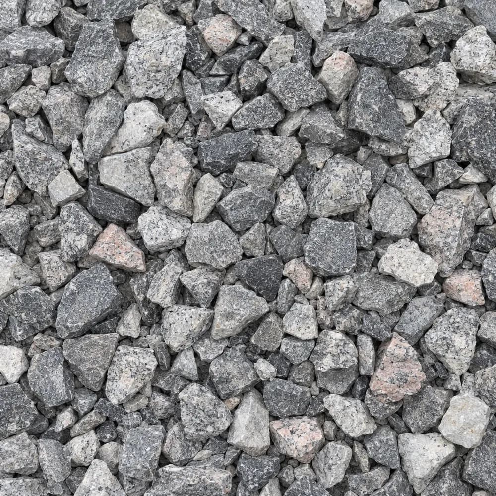 From$5862 ton delivered
#57 Crushed Stone
Gravel and Crushed Stone- Size
- 3/4 to 1 inch
- Weight
- 2,700 lb/yd³
- Color
- Gray
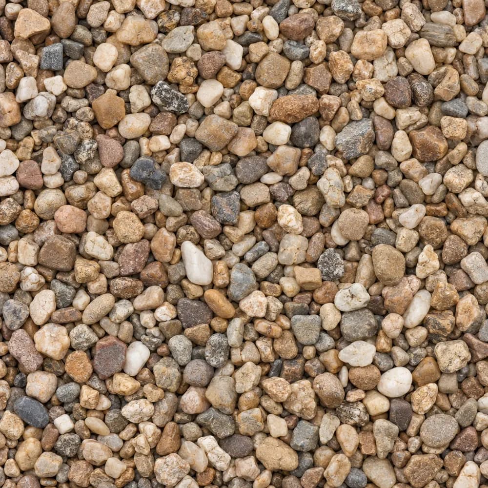 From$8622 ton delivered
Pea Gravel
Driveway and Landscaping- Size
- 3/8 inch
- Weight
- 2,600 lb/yd³
- Color
- Mixed tan and brown
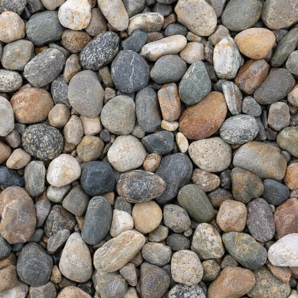 From$9922 ton delivered
River Rock
Driveway and Landscaping- Size
- 1 to 3 inches
- Weight
- 2,600 lb/yd³
- Color
- Mixed earth tones
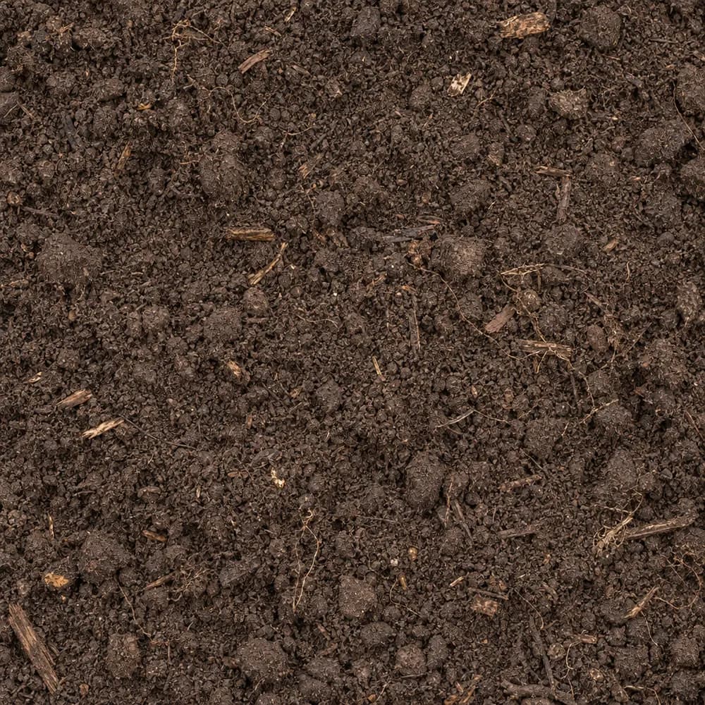 From$4592 ton delivered
Topsoil
Soil and Fill- Size
- Screened
- Weight
- 2,200 lb/yd³
- Color
- Dark brown
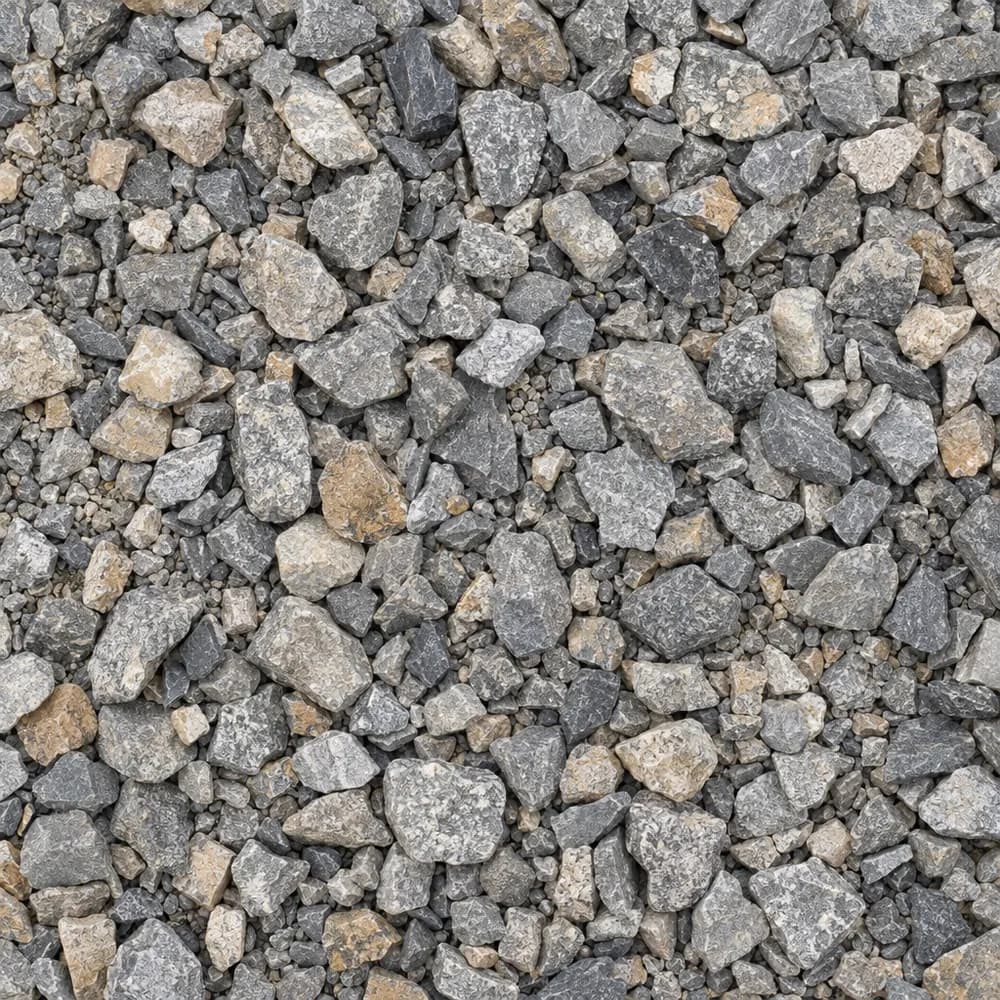 From$5842 ton delivered
Driveway Gravel
Driveway and Landscaping- Size
- 3/4 inch clean crushed
- Weight
- 2,700 lb/yd³
- Color
- Gray
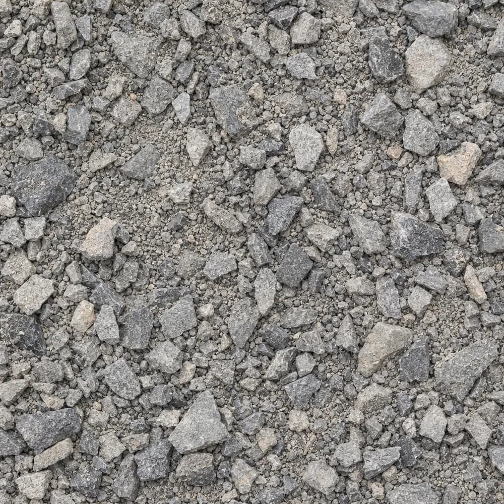 From$6112 ton delivered
Road Base
Drainage and Base- Size
- 3/4 inch minus
- Weight
- 2,800 lb/yd³
- Color
- Gray
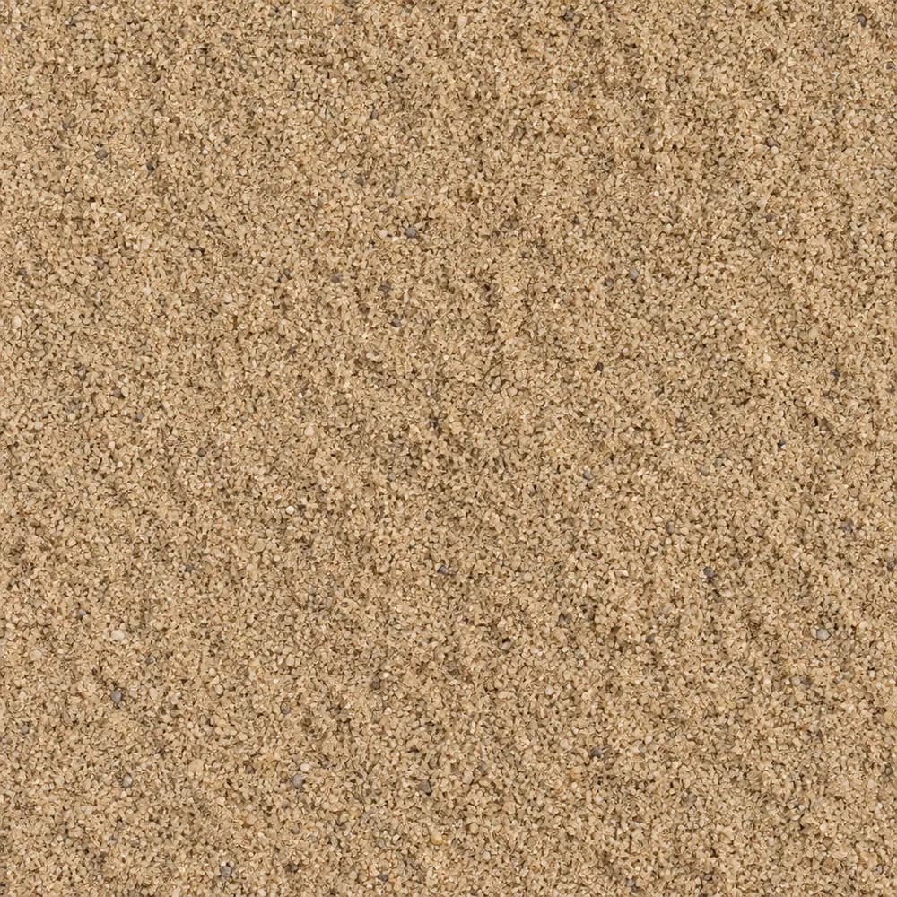 From$5452 ton delivered
Mason Sand
Sand- Size
- Fine
- Weight
- 2,700 lb/yd³
- Color
- Tan
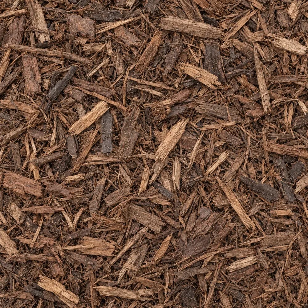 From$5912 yd delivered
Brown Shredded Mulch
Mulch and Wood- Size
- Double shredded
- Weight
- 800 lb/yd³
- Color
- Brown
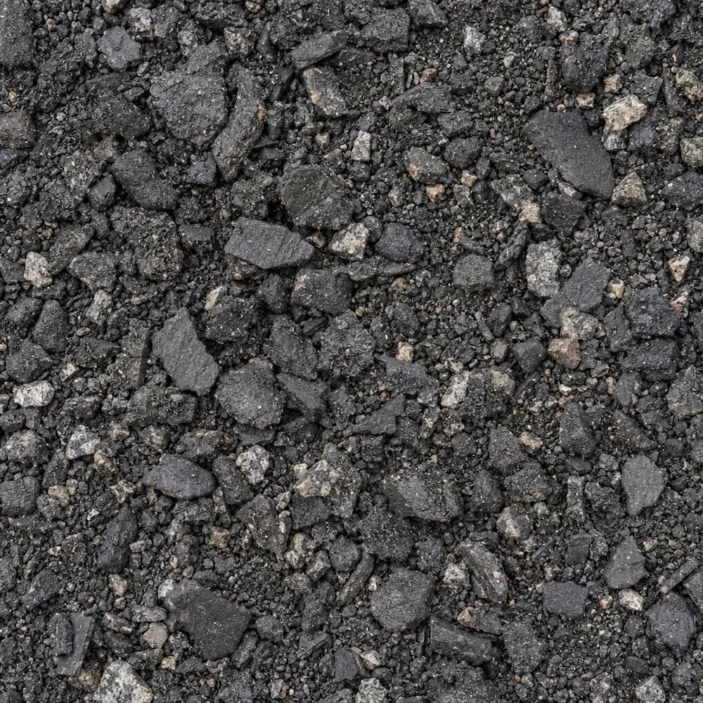 From$4452 ton delivered
Asphalt Millings
Driveway and Landscaping- Size
- 1 inch minus
- Weight
- 2,900 lb/yd³
- Color
- Black
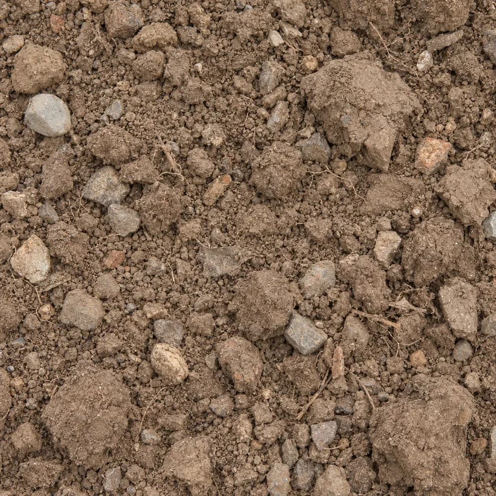 From$4452 ton delivered
Fill Dirt
Soil and Fill- Size
- Unscreened
- Weight
- 2,400 lb/yd³
- Color
- Brown
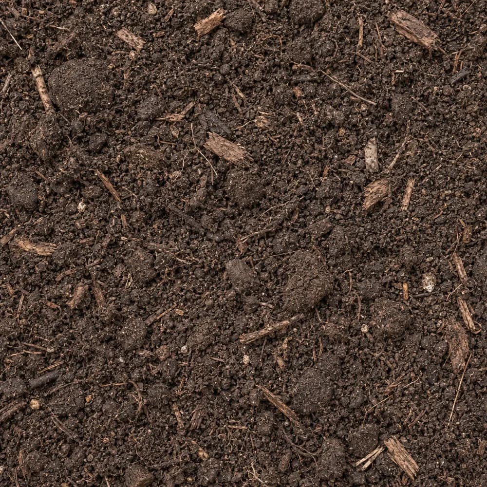 From$4562 ton delivered
Garden Soil
Soil and Fill- Size
- Blended
- Weight
- 2,000 lb/yd³
- Color
- Dark brown
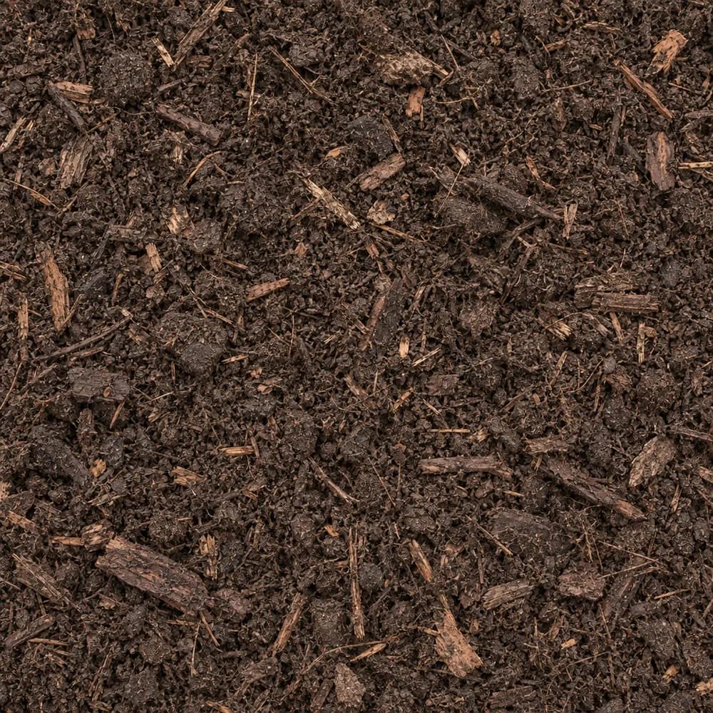 From$4592 yd delivered
Compost
Soil and Fill- Size
- Screened
- Weight
- 1,200 lb/yd³
- Color
- Dark brown
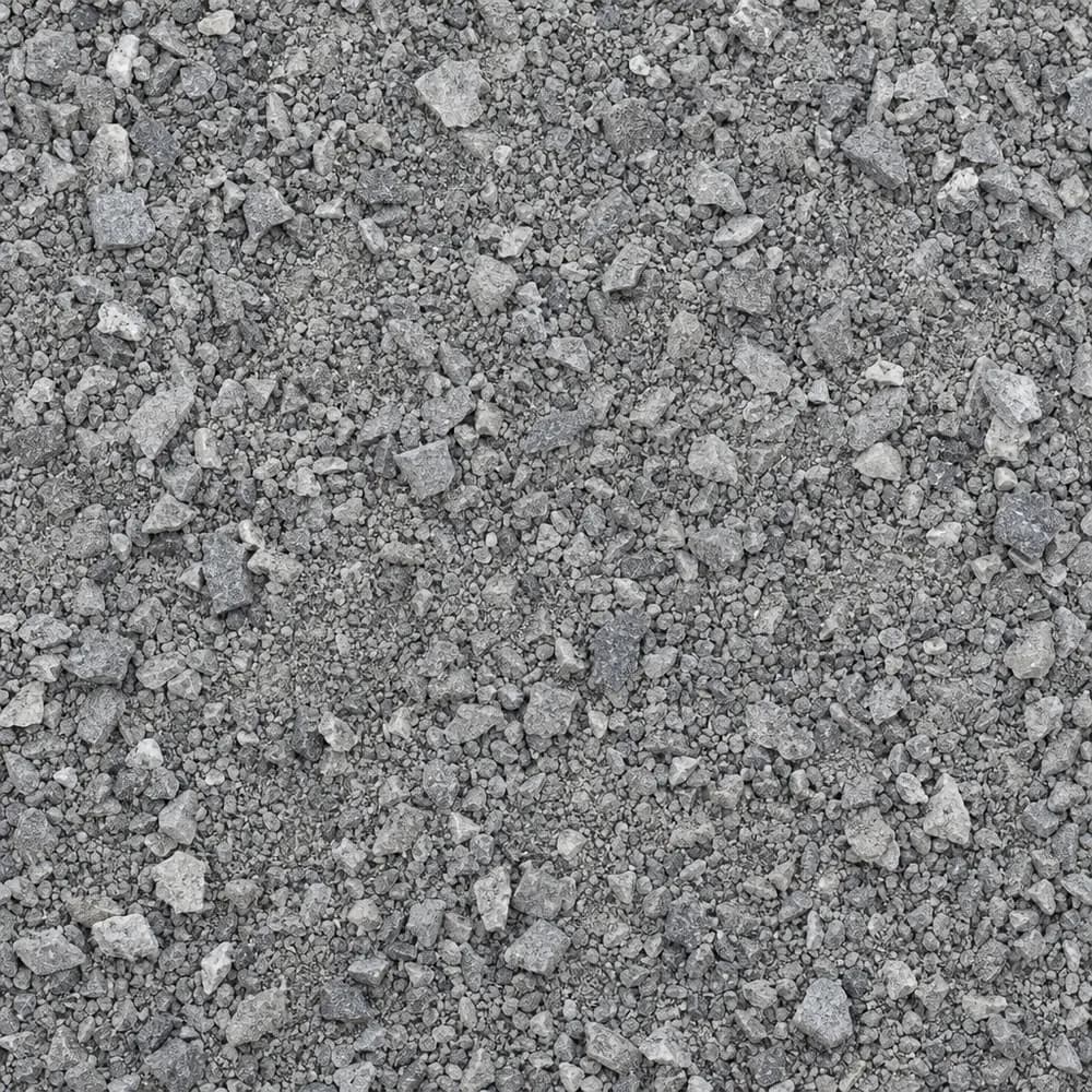 From$4662 ton delivered
Stone Dust Screenings
Drainage and Base- Size
- 1/4 inch and fines
- Weight
- 2,800 lb/yd³
- Color
- Gray
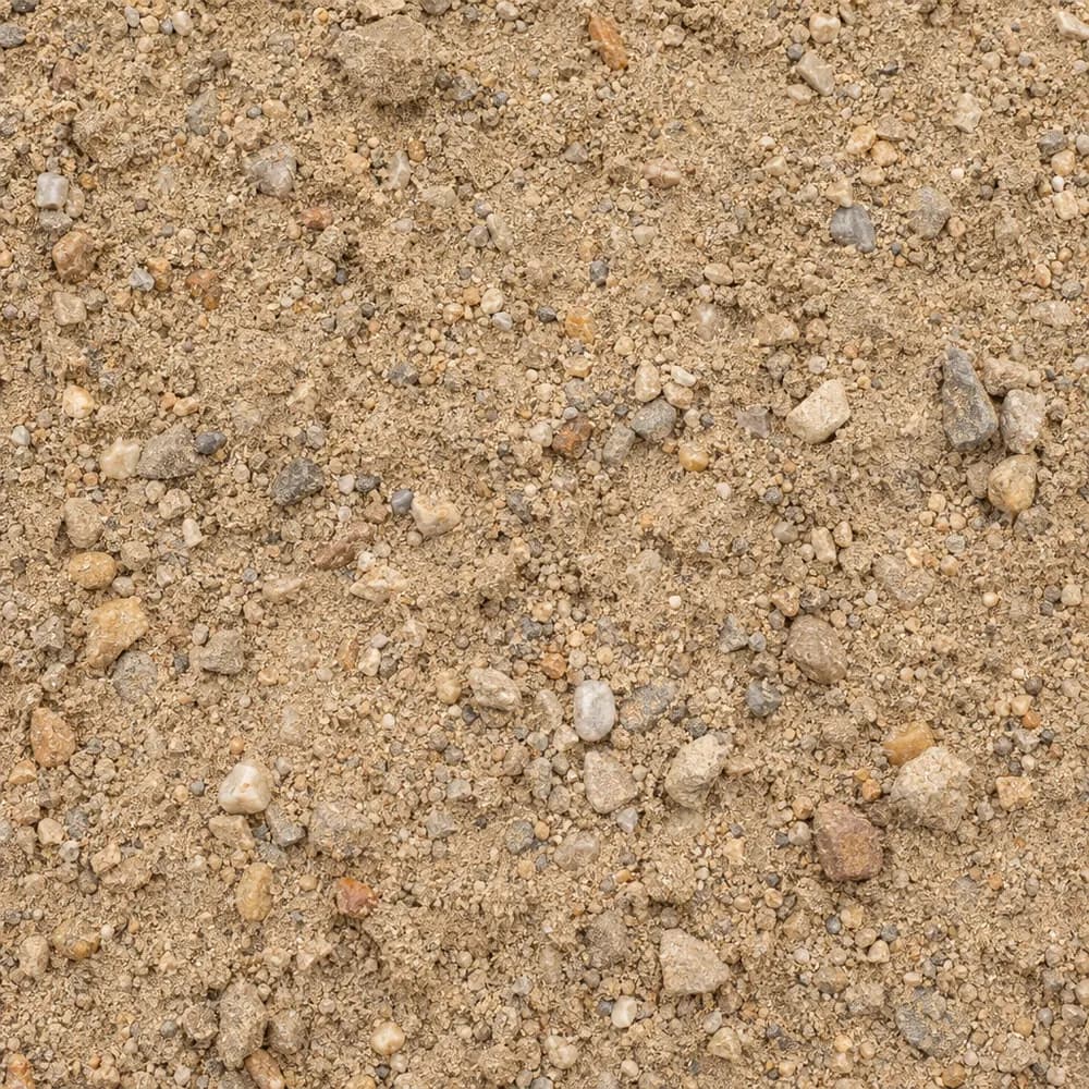 From$4862 ton delivered
Fill Sand
Sand- Size
- Unscreened
- Weight
- 2,700 lb/yd³
- Color
- Tan
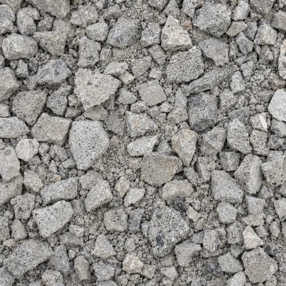 From$4922 ton delivered
Crushed Concrete
Driveway and Landscaping- Size
- 3/4 inch minus
- Weight
- 2,600 lb/yd³
- Color
- Light gray
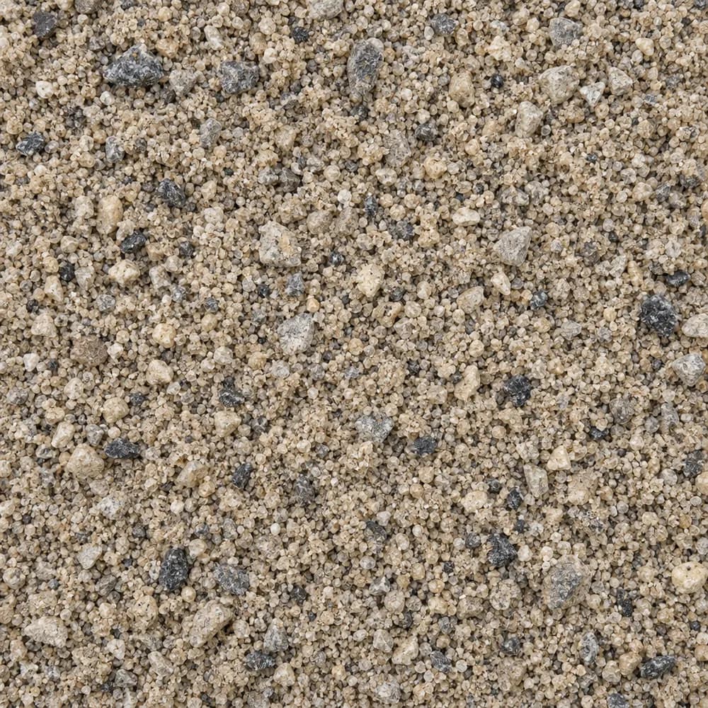 From$5122 ton delivered
Concrete Sand
Sand- Size
- Coarse
- Weight
- 2,700 lb/yd³
- Color
- Tan to gray
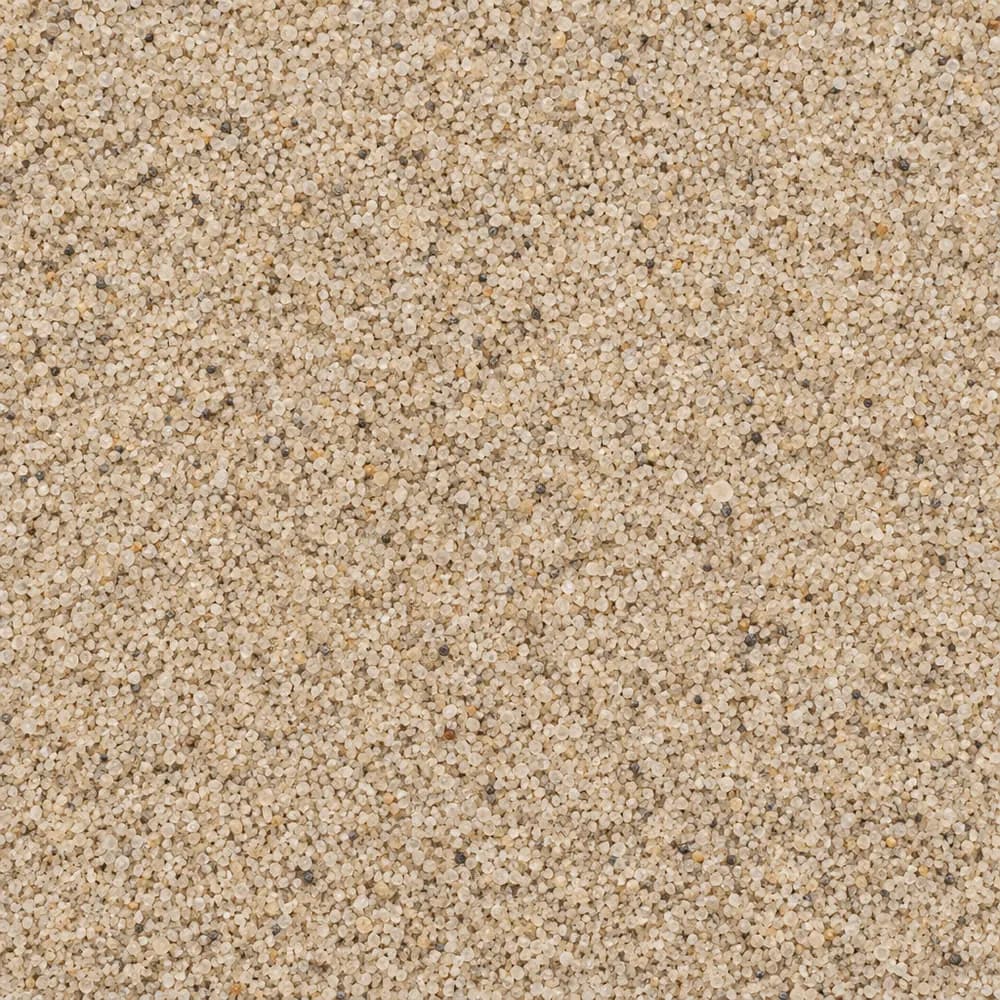 From$5122 ton delivered
Playground Sand
Sand- Size
- Fine, washed
- Weight
- 2,700 lb/yd³
- Color
- Light tan
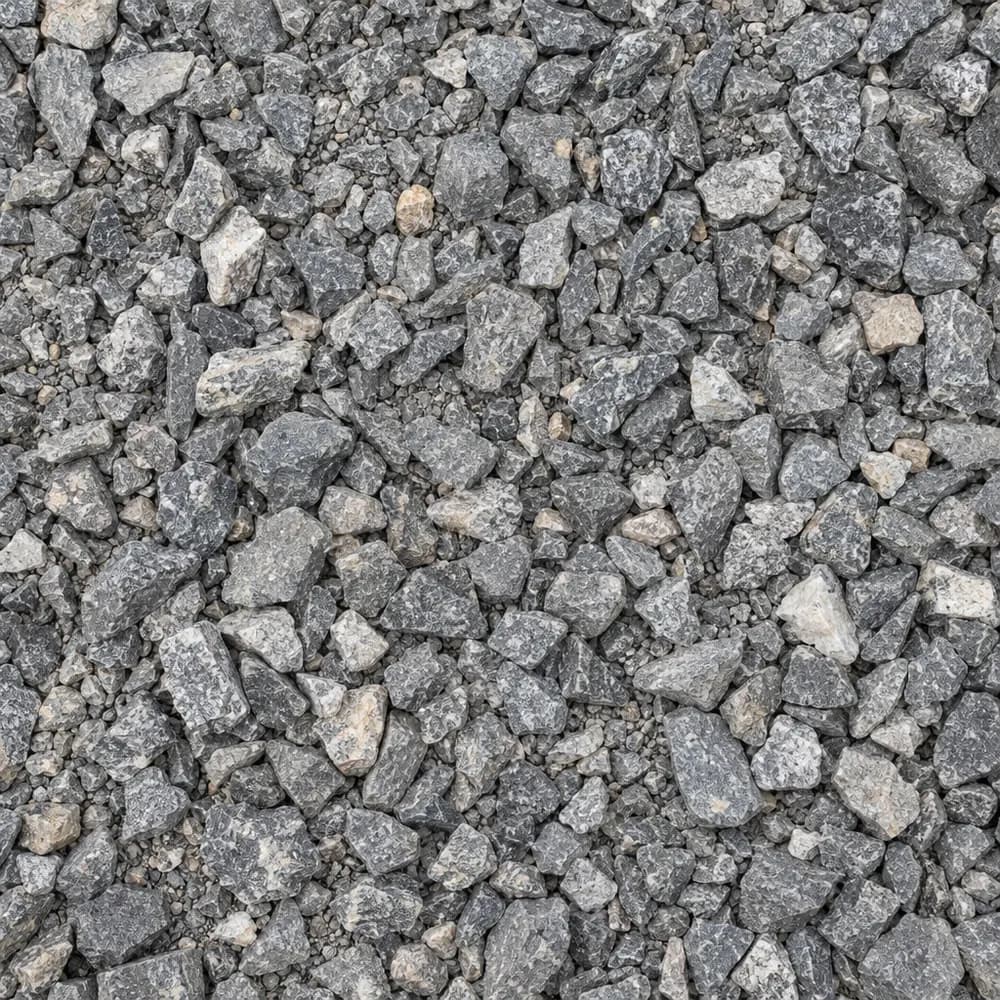 From$5202 ton delivered
#67 Stone
Gravel and Crushed Stone- Size
- 3/4 inch and under
- Weight
- 2,700 lb/yd³
- Color
- Gray
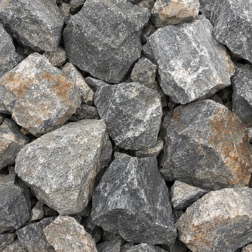 From$5352 ton delivered
Riprap
Drainage and Base- Size
- 6 to 12 inches
- Weight
- 2,700 lb/yd³
- Color
- Gray
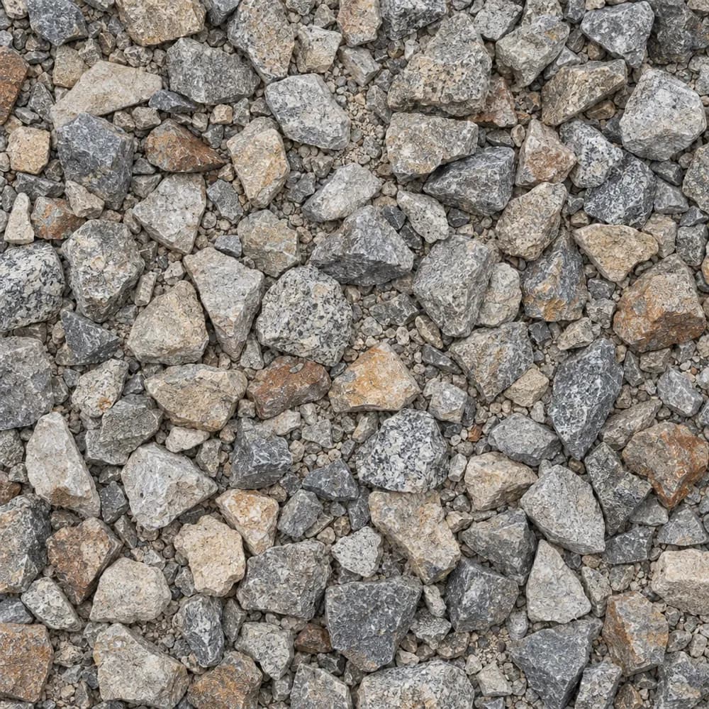 From$5532 ton delivered
1-1/2" Crushed Gravel
Gravel and Crushed Stone- Size
- 1-1/2 inch
- Weight
- 2,700 lb/yd³
- Color
- Gray to tan
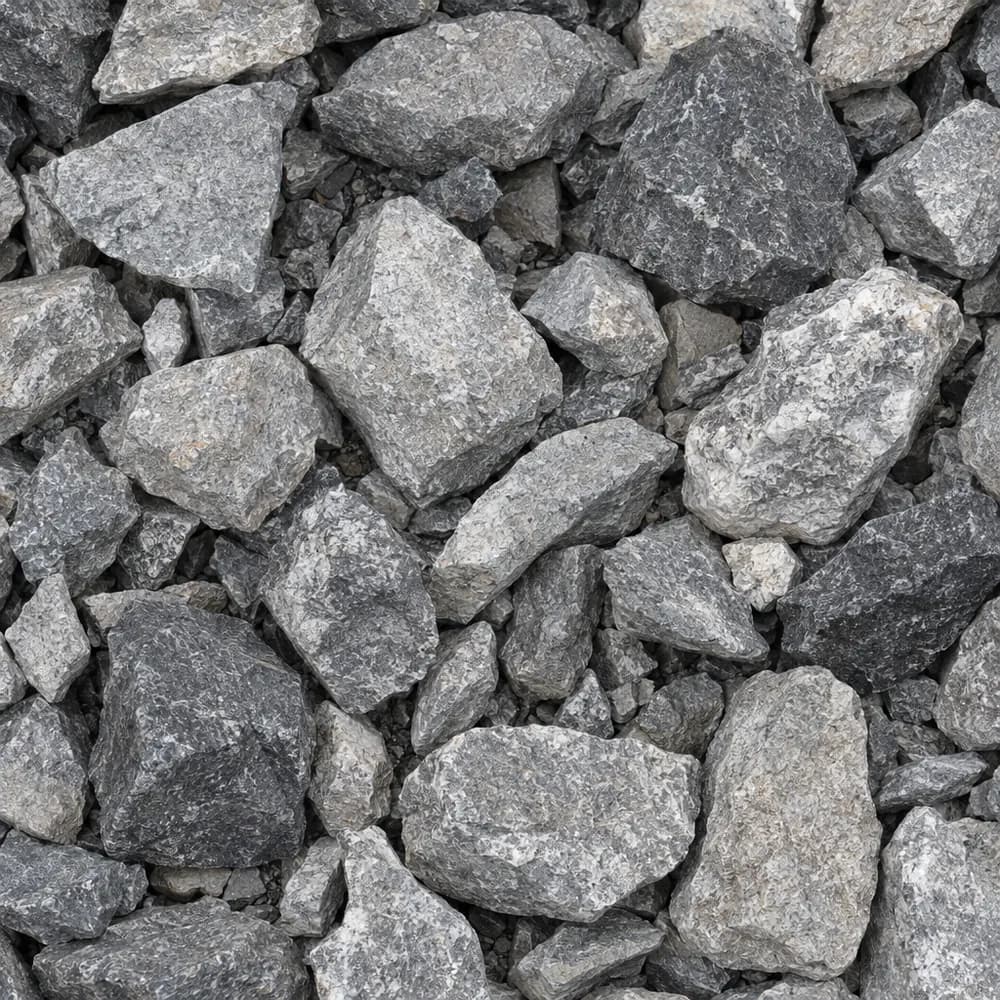 From$5572 ton delivered
#4 Crushed Stone
Gravel and Crushed Stone- Size
- 1-1/2 to 2-1/2 inches
- Weight
- 2,700 lb/yd³
- Color
- Gray
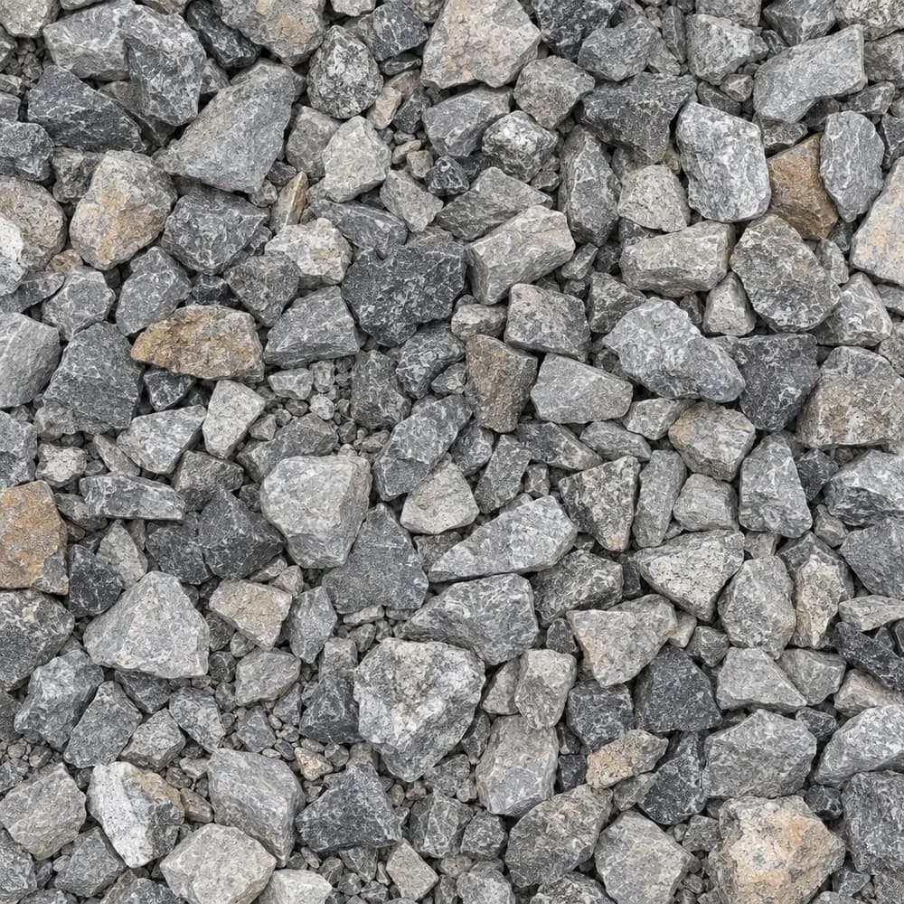 From$5572 ton delivered
Drain Rock
Drainage and Base- Size
- 3/4 to 1-1/2 inches
- Weight
- 2,700 lb/yd³
- Color
- Gray
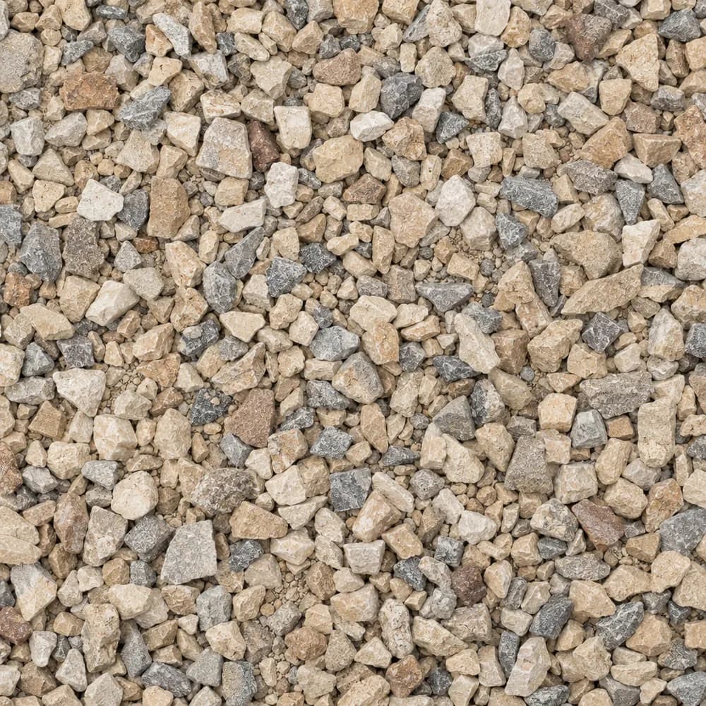 From$5602 ton delivered
Walkway Gravel
Driveway and Landscaping- Size
- 3/8 inch
- Weight
- 2,600 lb/yd³
- Color
- Mixed
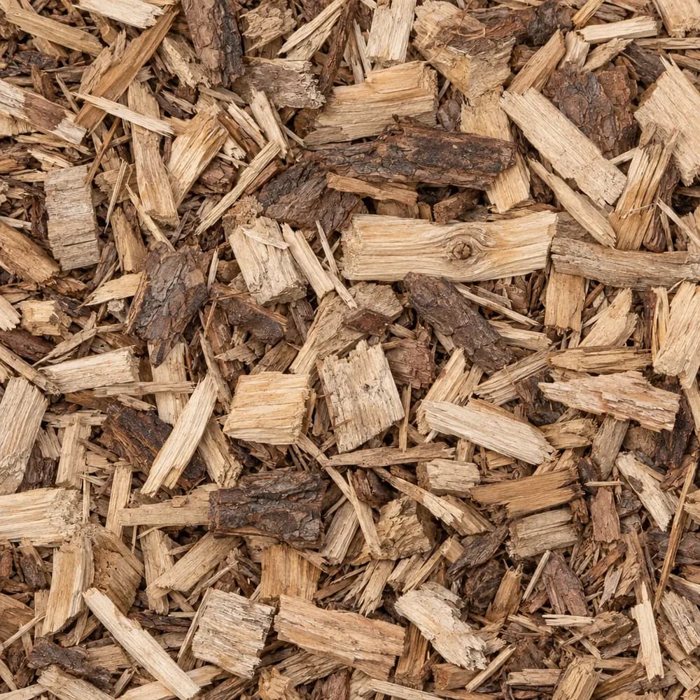 From$5752 yd delivered
Wood Chips
Mulch and Wood- Size
- 1 to 3 inches
- Weight
- 700 lb/yd³
- Color
- Natural
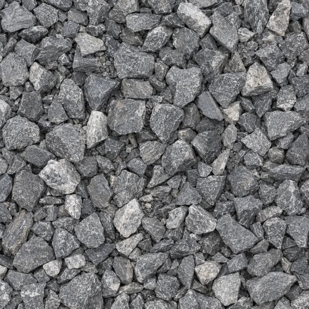 From$5842 ton delivered
3/4" Crushed Stone
Gravel and Crushed Stone- Size
- 3/4 inch
- Weight
- 2,700 lb/yd³
- Color
- Gray
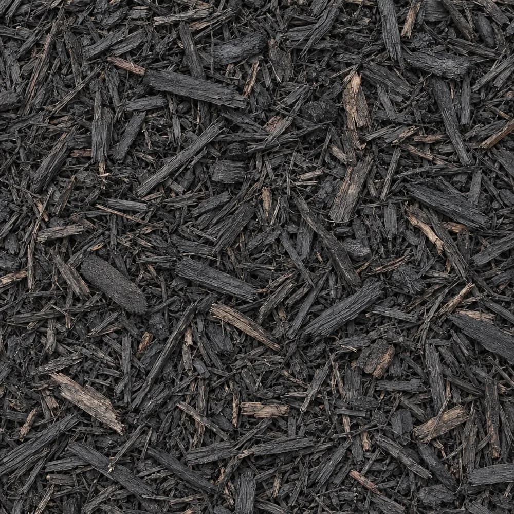 From$5892 yd delivered
Black Shredded Mulch
Mulch and Wood- Size
- Double shredded
- Weight
- 800 lb/yd³
- Color
- Black
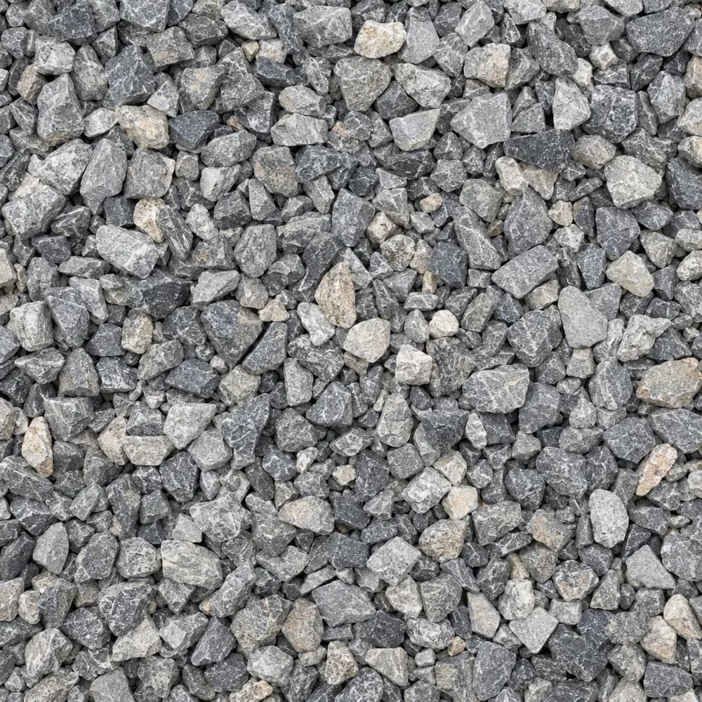 From$5932 ton delivered
#89 Crushed Stone
Gravel and Crushed Stone- Size
- 3/8 inch
- Weight
- 2,700 lb/yd³
- Color
- Gray
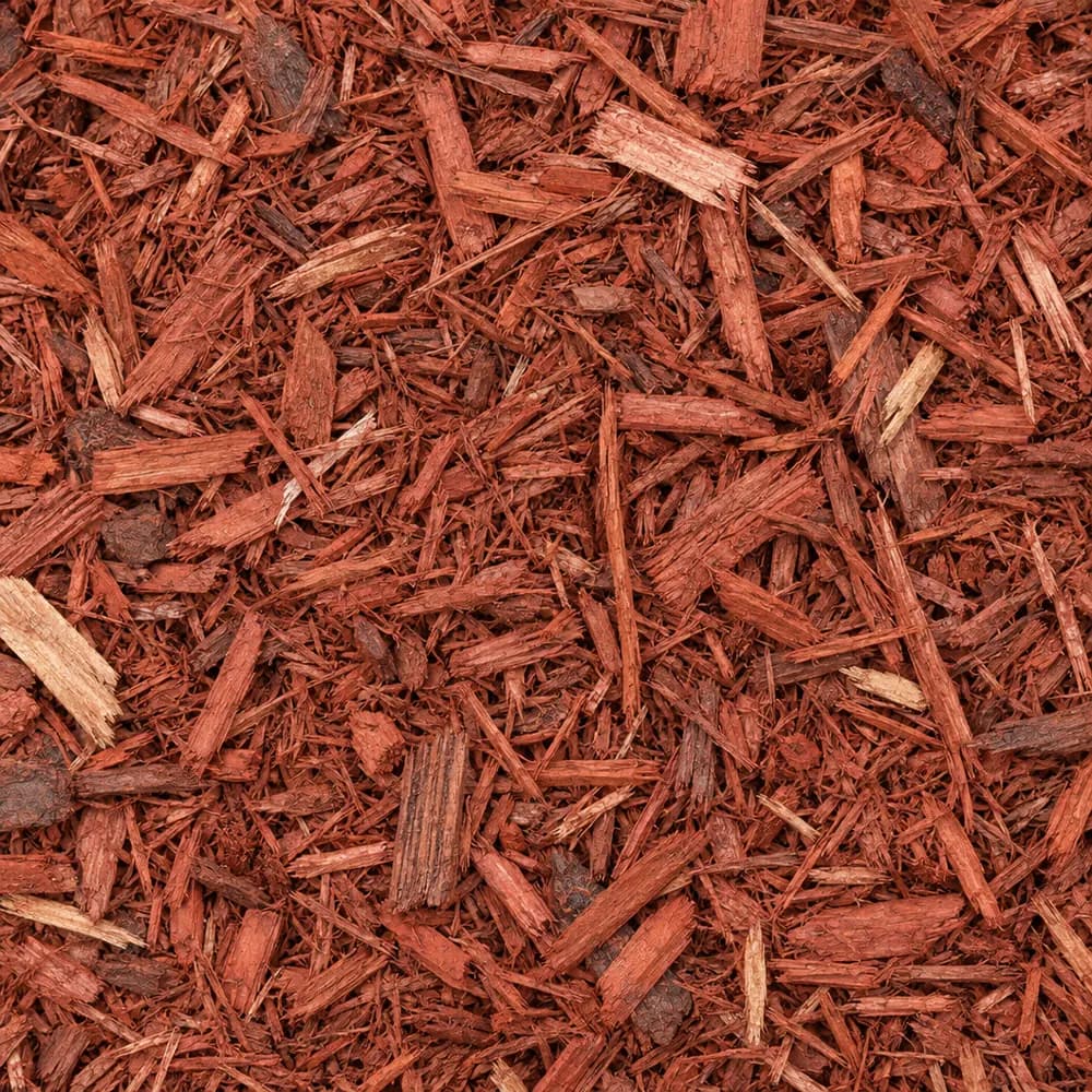 From$6042 yd delivered
Red Mulch
Mulch and Wood- Size
- Double shredded
- Weight
- 800 lb/yd³
- Color
- Red
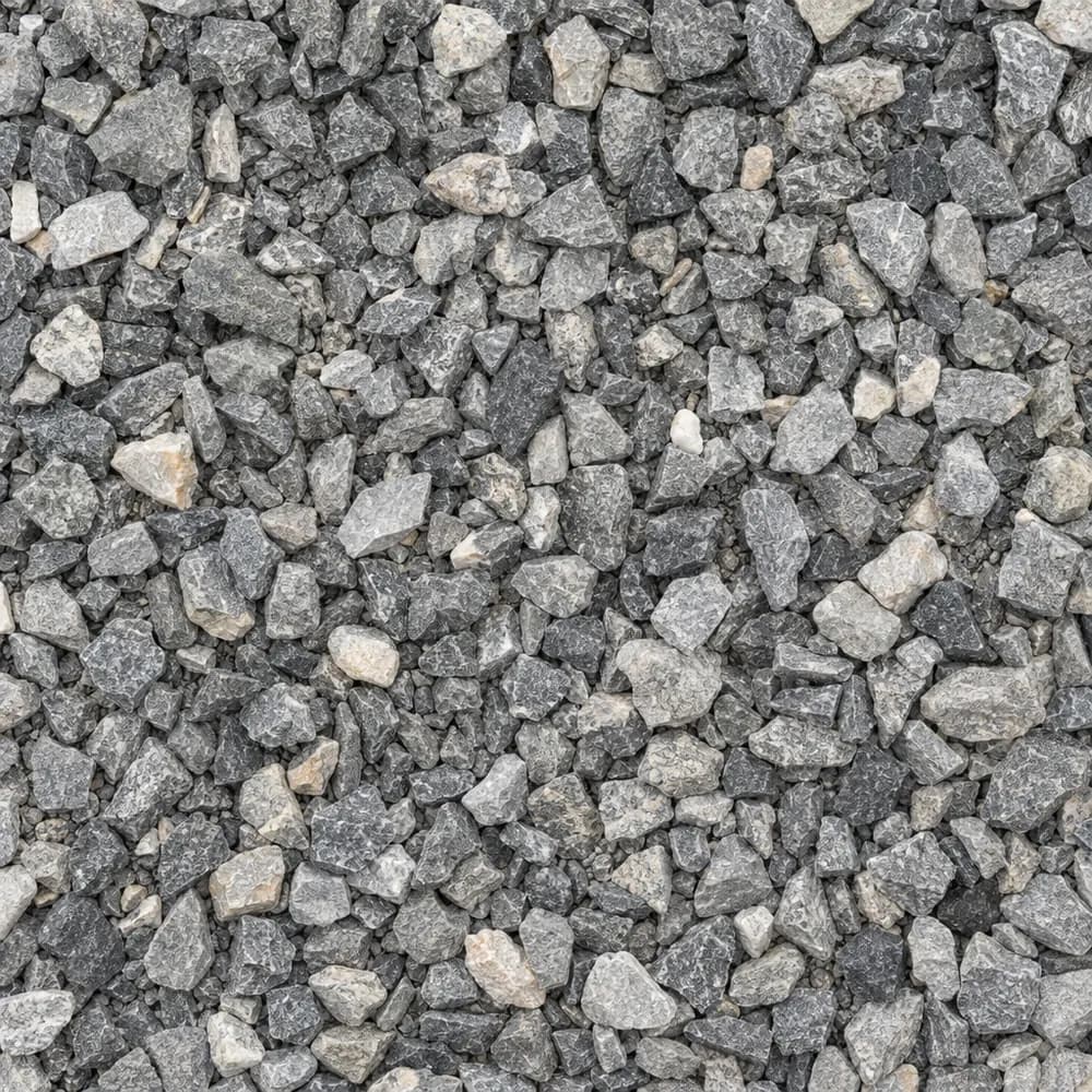 From$6132 ton delivered
3/8" Crushed Stone
Gravel and Crushed Stone- Size
- 3/8 inch
- Weight
- 2,700 lb/yd³
- Color
- Gray
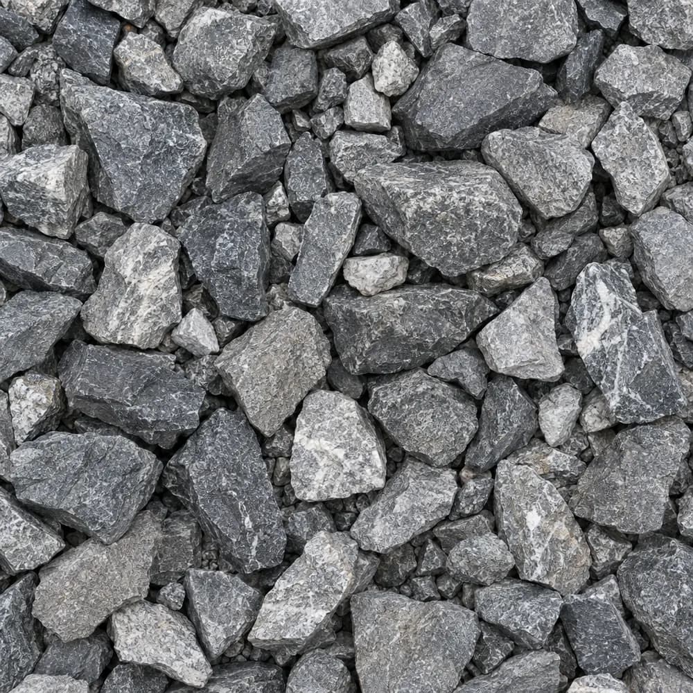 From$6352 ton delivered
Railroad Ballast
Gravel and Crushed Stone- Size
- 1-1/2 to 2-1/2 inches
- Weight
- 2,700 lb/yd³
- Color
- Gray
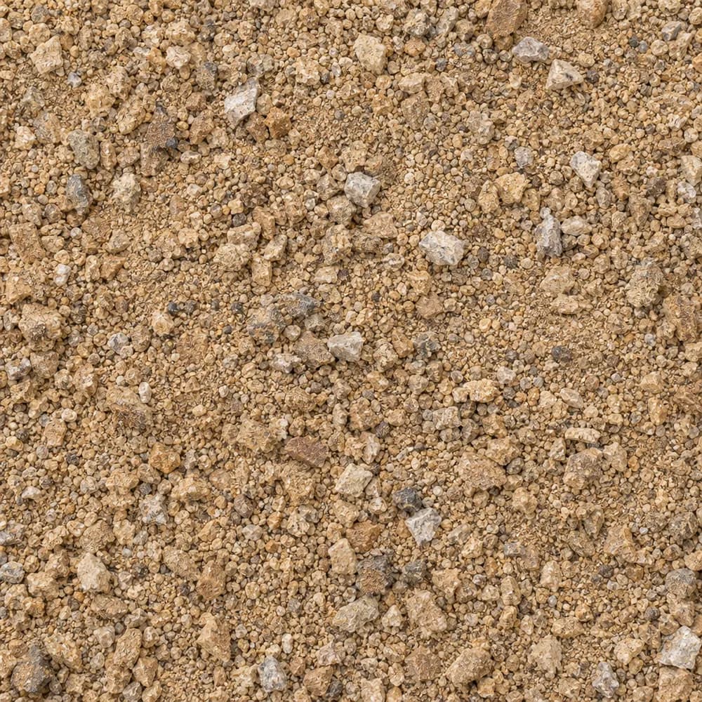 From$6912 ton delivered
Decomposed Granite
Driveway and Landscaping- Size
- 1/4 inch and fines
- Weight
- 2,500 lb/yd³
- Color
- Gold to tan
Popular projects
Common gravel projects in Jacksonville
The ground and weather in Jacksonville
Grifton soil and a high water table
At the center point of ZIP 28540 the USDA soil survey maps Grifton fine sandy loam. Grifton is the main series, at 80 percent of the unit, and its top mineral layer is fine sandy loam.[1]
The survey rates Grifton poorly drained. On a coastal plain soil, that rating usually points to water standing close to the surface for long parts of the year. Low spots fill after rain, and a hole dug in a wet month may start to fill from the sides.[1]
Grifton carries hydrologic group B/D. In wet months, while the water table is up, the soil sheds rain like group D, the slowest class. Where ditches or tile have lowered the water table, it takes rain at the moderate rate of group B. The difference between a drained lot and an undrained one can be large.[1]
You can often tell which kind of lot you have by watching it after a long rain. If water clears from the yard within a day, the ditches around it are doing their work. If puddles linger for several days, plan on raised work and extra drainage for every stone project.[1]
Shrink-swell in the top meter is low, at 1.5 percent, so the soil itself moves very little. Every plan below starts by lifting the work and giving water a way out.[1]
Limestone of the River Bend Formation
Under the center point, the state geologic map shows the River Bend Formation, a Tertiary unit of limestone and calcarenite. Calcarenite is limestone built from sand-sized grains of shell and lime.[2]
On most home lots that rock sits below the sandy soil and does not come into play. Shell fragments in a deep trench are a sign that the hole has reached the top of it. The ground at the center point is only 30 feet above sea level, which fits a low coastal plain setting.[2],[3]
Heavy rain at the New River station
The NOAA normals station used for Jacksonville is New River Mcaf, NC, about 7 miles away. It averages 56.5 inches of precipitation a year and 0.6 inches of snow.[4]
That station counts 43 days a year with a low of 32 F or colder. Its median last spring freeze is March 23. Its median first fall freeze is November 16.[4]
Rain is the force to plan for. A yearly total of 56.5 inches on poorly drained soil means low parts of a yard can stay wet for days. Coastal storms can drop a large share of a month's rain in one event, so ditches and stone trenches need room for a sudden flow.[1],[4]
Cold is a lesser concern. Most freezes near the coast are light and short, though a wet base that freezes on a clear winter night can still soften the next morning.[4]
Summer is the season for big storms here, and it is also the season when most people want to build a patio or a drive. Order the stone for a dry stretch, compact each layer before the next rain, and keep a tarp handy for any Fill Sand or Topsoil left in a pile overnight.[4]
Lifting a driveway out of the wet
On Grifton ground, start a drive by raising it. Strip the topsoil, then spread Fill Dirt or Fill Sand and compact it in thin lifts until the subgrade stands above the yard around it. Even a modest rise keeps the base out of standing water after a storm.[1]
Cover the raised subgrade with a woven geotextile. Fine sandy loam turns soft when it is soaked, and the fabric keeps it from pumping up into the stone. Then lay a coarse layer of 1-1/2" Crushed Gravel or #4 Crushed Stone, which drains and spreads the load.[1]
Over that, add Road Base in compacted layers and finish with Driveway Gravel or #57 Crushed Stone. Shape the top with a crown so rain runs off both sides into shallow ditches. If water crosses the drive in a storm, set a culvert or a stone-filled trench at the low point.[4]
Crushed Concrete makes a good alternative for the base layer, and Asphalt Millings make a firm, dark top that sheds water well on a crowned drive.[4]
Sand blows and washes onto drives near the coast, and a thin layer of it on top of the stone fills the gaps and holds water. Sweep or rake it off after storms, and keep the shoulders of the drive planted or mulched so loose sand stays in the yard.[1]
French drains, dry wells and wet yards
A French drain only works if the water has somewhere lower to go. On flat coastal ground, find the outlet first, such as a ditch, a swale or the street, then dig back from it toward the wet spot, keeping a steady fall. Line the trench with fabric, set a perforated pipe, and fill around it with Drain Rock or #57 Crushed Stone.[1]
Dry wells are less useful on soil with a high water table. A pit full of stone in wet Grifton ground may already be full of groundwater when the storm arrives. Ditches and swales that carry water away tend to do better.[1]
Downspouts deserve their own splash pads. A bed of River Rock under each one spreads roof water and stops it from digging a hole beside the foundation. Where the gutters dump a lot of water, a buried line can carry it to a ditch.[4]
Rain gardens can help on the higher parts of a lot. A shallow, planted basin of Garden Soil mixed with Compost catches roof water and lets it soak in slowly. On poorly drained ground, keep it shallow and well away from the house, and give it an overflow path for the biggest storms.[4]
Beds and homes in ZIP 28540
Many garden plants dislike wet roots. Raise beds well above the native soil with Garden Soil, or a blend of Topsoil and Compost, and edge them with stone or timber. Cover them with Brown Shredded Mulch or Red Mulch, which knit together and stay put when rain runs across the yard.[1]
The Census counts 21,131 housing units in ZIP 28540. Detached single-family houses make up 68 percent of them, the median build year is 1986, and owners live in 62 percent of the occupied homes.[5]
For Jacksonville as a whole, the Census counts 25,417 housing units. Just 49 percent of them are detached houses, and the town's median build year is 1992.[5]
The North Carolina Department of Transportation sets out Aggregate Base Course for the layer under its roads in Section 520 of the Standard Specifications for Roads and Structures (January 2024).[6]
The numbers behind this page
| Fact | Value | Applies to | Source |
|---|---|---|---|
| Soil map unit at the ZIP's center point | Grifton fine sandy loam | City center point | [1] |
| Main soil series | Grifton (80 percent of the map unit) | City center point | [1] |
| Texture of the top mineral soil layer | fine sandy loam | City center point | [1] |
| Drainage class | poorly drained | City center point | [1] |
| Hydrologic soil group | B/D (D while the water table is high, B where drained) | City center point | [1] |
| Shrink-swell in the top 100 cm (linear extensibility) | low, 1.5 percent | City center point | [1] |
| Mapped geologic unit at the ZIP's center point | River Bend Formation | City center point | [2] |
| Rock or sediment type of that unit | limestone, calcarenite | City center point | [2] |
| Geologic age of that unit | Tertiary | City center point | [2] |
| Ground elevation at the ZIP's center point | 30 feet | City center point | [3] |
| NOAA normals station used | NEW River Mcaf, NC, about 7 miles away | Weather station | [4] |
| Average yearly precipitation | 56.5 inches | Weather station | [4] |
| Average yearly snowfall | 0.6 inches | Weather station | [4] |
| Days a year the low reaches 32 F or colder | 43 days | Weather station | [4] |
| Median date of the last spring freeze (32 F) | March 23 | Weather station | [4] |
| Median date of the first fall freeze (32 F) | November 16 | Weather station | [4] |
| Housing units in ZIP 28540 | 21,131 | This ZIP | [5] |
| Share of homes in ZIP 28540 that are detached single-family houses | 68 percent | This ZIP | [5] |
| Median year homes in ZIP 28540 were built | 1986 | This ZIP | [5] |
| Share of occupied homes in ZIP 28540 lived in by the owner | 62 percent | This ZIP | [5] |
| Housing units in Jacksonville | 25,417 | Whole city | [5] |
| Share of homes in Jacksonville that are detached single-family houses | 49 percent | Whole city | [5] |
| Median year homes in Jacksonville were built | 1992 | Whole city | [5] |
| North Carolina Department of Transportation aggregate base specification | Aggregate Base Course, Section 520, Standard Specifications for Roads and Structures (January 2024) | State | [6] |
Sources
- USDA NRCS Soil Data Access (SSURGO soil survey), retrieved 2026-10-30
- USGS State Geologic Map Compilation (Horton and others, 2017), queried through the Macrostrat API, retrieved 2026-10-30
- USGS Elevation Point Query Service (3DEP), retrieved 2026-10-30
- NOAA NCEI U.S. Climate Normals 1991-2020, annual and seasonal, retrieved 2026-10-30
- U.S. Census Bureau, American Community Survey 2020-2024 5-year estimates (tables B25001, B25003, B25024, B25035), retrieved 2026-10-30
- North Carolina Department of Transportation, Standard Specifications for Roads and Structures (January 2024), Section 520, retrieved 2026-10-29
Point and station values describe one spot, not every lot in town. Check your own site before you build.
Nearby
Nearby cities we serve
Delivery
Your delivery in Jacksonville
- Minimum order
- 2 tons or 2 cubic yards
- Delivered price from
- $445 for 2 tons of Asphalt Millings
- Priced from
- Jacksonville, NC ladder (this city)
We coordinate the truck from the yards that serve Jacksonville; we do not run a yard in town.
Coverage map
Where we deliver in Jacksonville
The drawing shows the nearest cities we price around Jacksonville, at true bearing and distance. Outside the rings, enter your ZIP and we quote the haul from the nearest ladder.
Need bulk material delivered in Jacksonville?
Delivered prices on every card, or send the job and we price it by hand.
Tools
Helpful calculators
Frequently Asked Questions
How do I build a gravel drive on wet ground in Jacksonville?
Raise it first. On the poorly drained Grifton fine sandy loam mapped at the center point of ZIP 28540, compact Fill Dirt or Fill Sand to lift the subgrade, cover it with fabric, add a coarse stone layer, then Road Base, then a top of Driveway Gravel. Crown the surface and ditch the sides so water leaves quickly.
Why does water stand in my yard for days?
Soils like Grifton are rated poorly drained, and a high water table leaves little room for rain to soak in. After a storm, water sits in the low spots until it can drain sideways or dry out. A ditch or a French drain that leads to a lower outlet is the usual fix.
Is a dry well a good idea on this soil?
Often not. On ground with a high water table, the pit may already hold groundwater when rain arrives. A ditch, a swale or a French drain that carries water to the street or a lower area usually works better. If you build a dry well, place it on the highest part of the yard you can.
What goes under pavers on a low lot?
Raise the area with compacted fill if it sits low, lay fabric, and build a base of Road Base or Crushed Concrete in thin, packed layers. Screed a bed of Concrete Sand on top, set the pavers, and sweep sand into the joints. Pitch the patio so rain runs away from the house.
Which mulch is best in coastal rain?
Shredded mulch mats together and holds when water moves across a bed. Brown Shredded Mulch, Black Shredded Mulch and Red Mulch all work. Loose Wood Chips can float in heavy rain, so use them on paths and under trees on higher ground.
When is the last freeze near Jacksonville?
At the New River Mcaf station, the median last spring freeze is March 23 and the median first fall freeze is November 16. The station records 43 days a year with a low of 32 F or colder. Plan tender plantings after the spring date.