
Service area · MO
Gravel, Stone and Soil Delivery in Lee's Summit, MO
Bulk gravel, crushed stone, sand, soil and mulch delivered across Lees Summit, MO, priced by the load for your ZIP.
- Min. order
- 2 tons or 2 yd³
- Area
- Lees Summit and nearby ZIPs
- From
- $433 delivered
Every price below is the delivered total.
Gravel Valet delivers bulk gravel, crushed stone, sand, soil and mulch around Lee's Summit, for drives, patios, beds and drain lines. Enter your ZIP above to see the loads we bring to your street.
The advice below reads the nearby airport weather station, the soil survey, the geologic map and Census housing data, and turns them into steps for silty ground that swells and freezes.
Plan
How much do you need?
Work out your material
In stock
Materials available in Lees Summit
Every price is the delivered total for 2 tons or yards, in whole dollars.
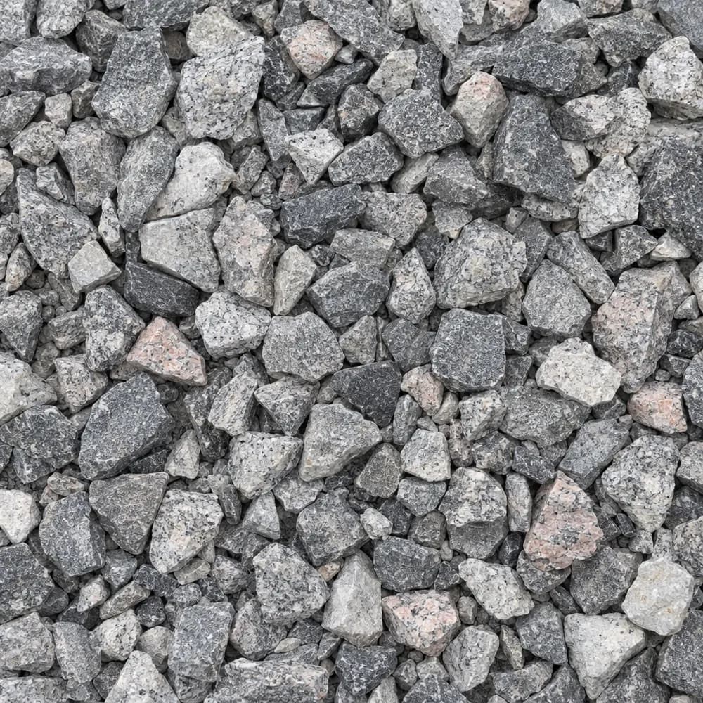 From$5132 ton delivered
#57 Crushed Stone
Gravel and Crushed Stone- Size
- 3/4 to 1 inch
- Weight
- 2,700 lb/yd³
- Color
- Gray
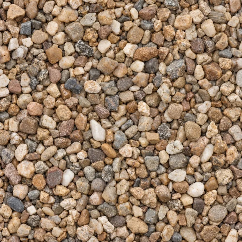 From$5022 ton delivered
Pea Gravel
Driveway and Landscaping- Size
- 3/8 inch
- Weight
- 2,600 lb/yd³
- Color
- Mixed tan and brown
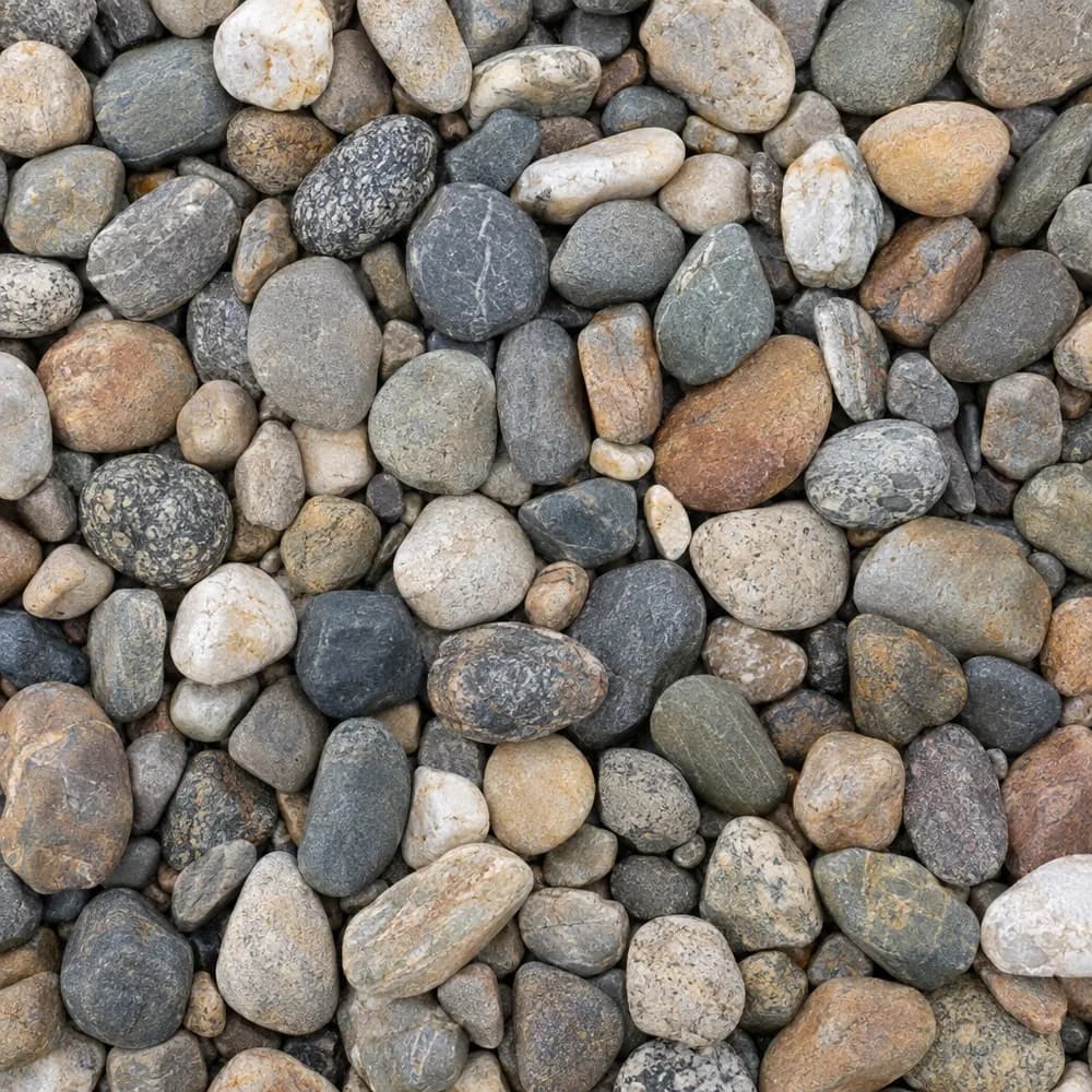 From$1,1342 ton delivered
River Rock
Driveway and Landscaping- Size
- 1 to 3 inches
- Weight
- 2,600 lb/yd³
- Color
- Mixed earth tones
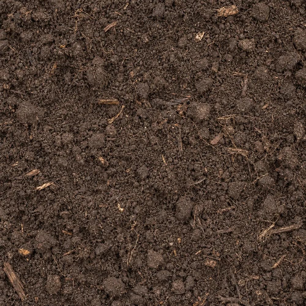 From$5452 ton delivered
Topsoil
Soil and Fill- Size
- Screened
- Weight
- 2,200 lb/yd³
- Color
- Dark brown
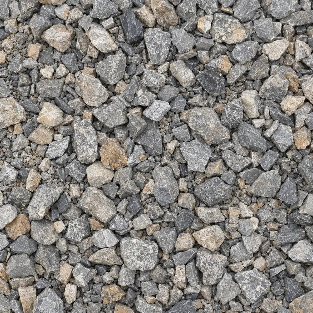 From$4942 ton delivered
Driveway Gravel
Driveway and Landscaping- Size
- 3/4 inch clean crushed
- Weight
- 2,700 lb/yd³
- Color
- Gray
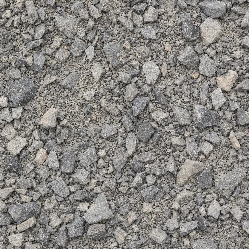 From$4762 ton delivered
Road Base
Drainage and Base- Size
- 3/4 inch minus
- Weight
- 2,800 lb/yd³
- Color
- Gray
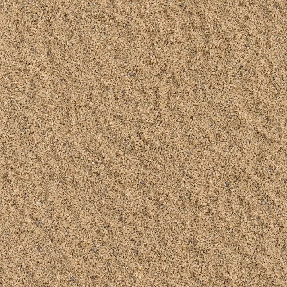 From$4722 ton delivered
Mason Sand
Sand- Size
- Fine
- Weight
- 2,700 lb/yd³
- Color
- Tan
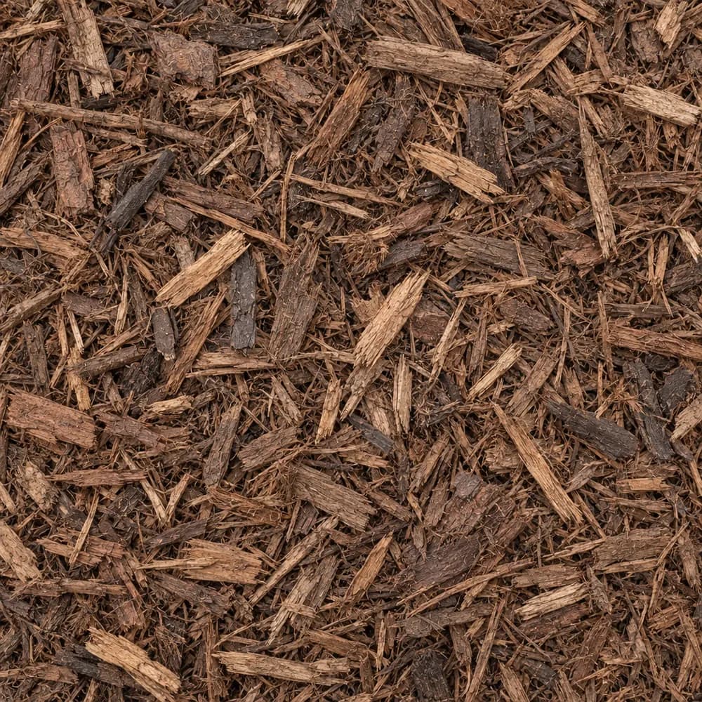 From$5372 yd delivered
Brown Shredded Mulch
Mulch and Wood- Size
- Double shredded
- Weight
- 800 lb/yd³
- Color
- Brown
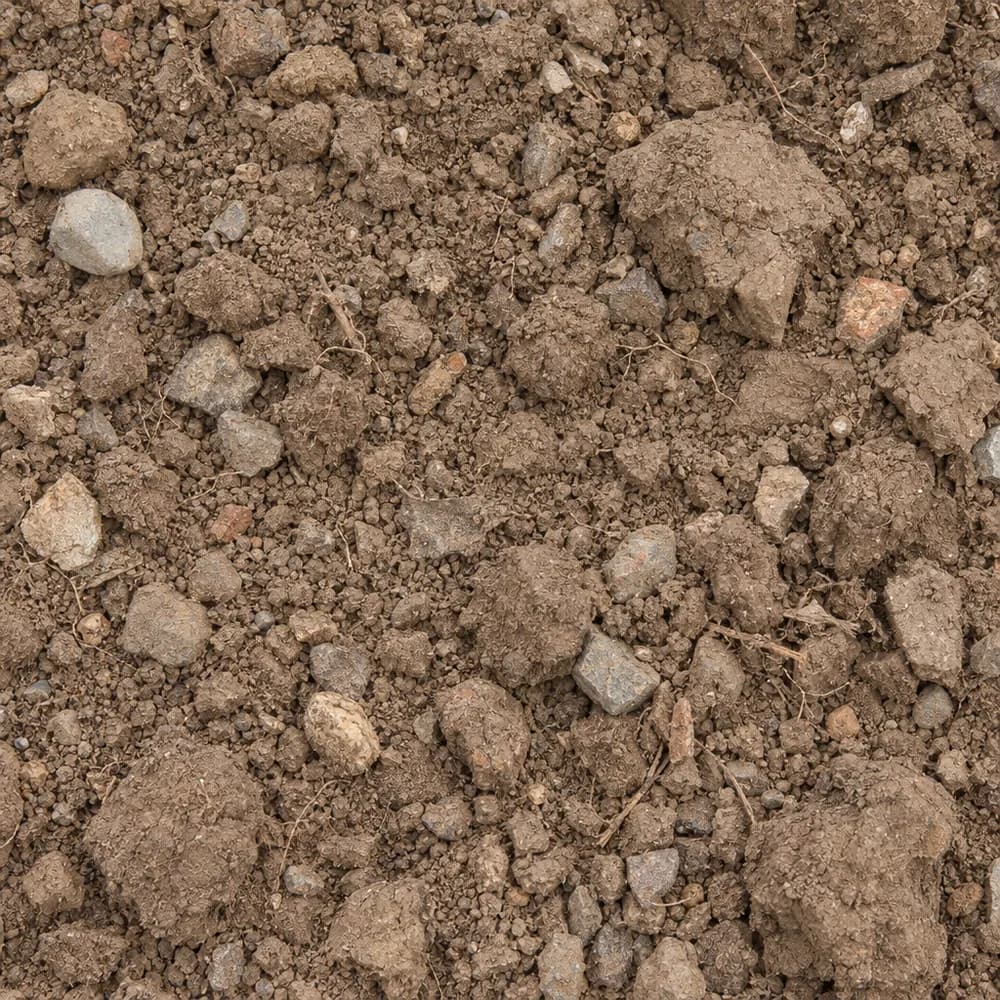 From$4332 ton delivered
Fill Dirt
Soil and Fill- Size
- Unscreened
- Weight
- 2,400 lb/yd³
- Color
- Brown
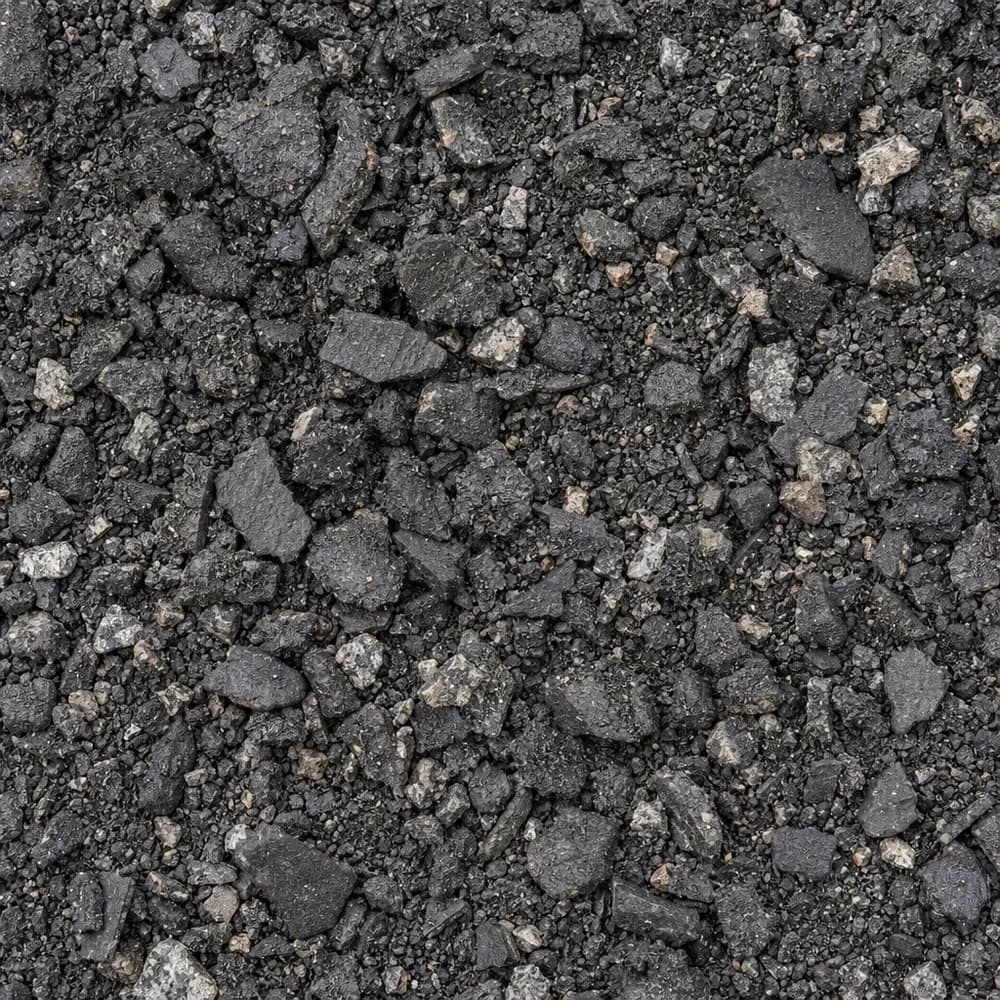 From$4472 ton delivered
Asphalt Millings
Driveway and Landscaping- Size
- 1 inch minus
- Weight
- 2,900 lb/yd³
- Color
- Black
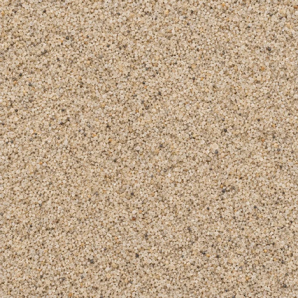 From$4642 ton delivered
Playground Sand
Sand- Size
- Fine, washed
- Weight
- 2,700 lb/yd³
- Color
- Light tan
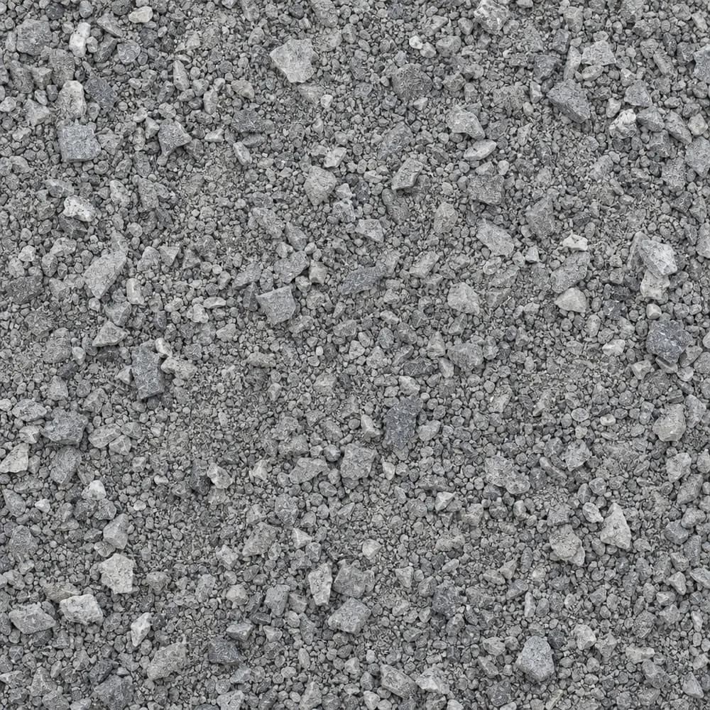 From$4652 ton delivered
Stone Dust Screenings
Drainage and Base- Size
- 1/4 inch and fines
- Weight
- 2,800 lb/yd³
- Color
- Gray
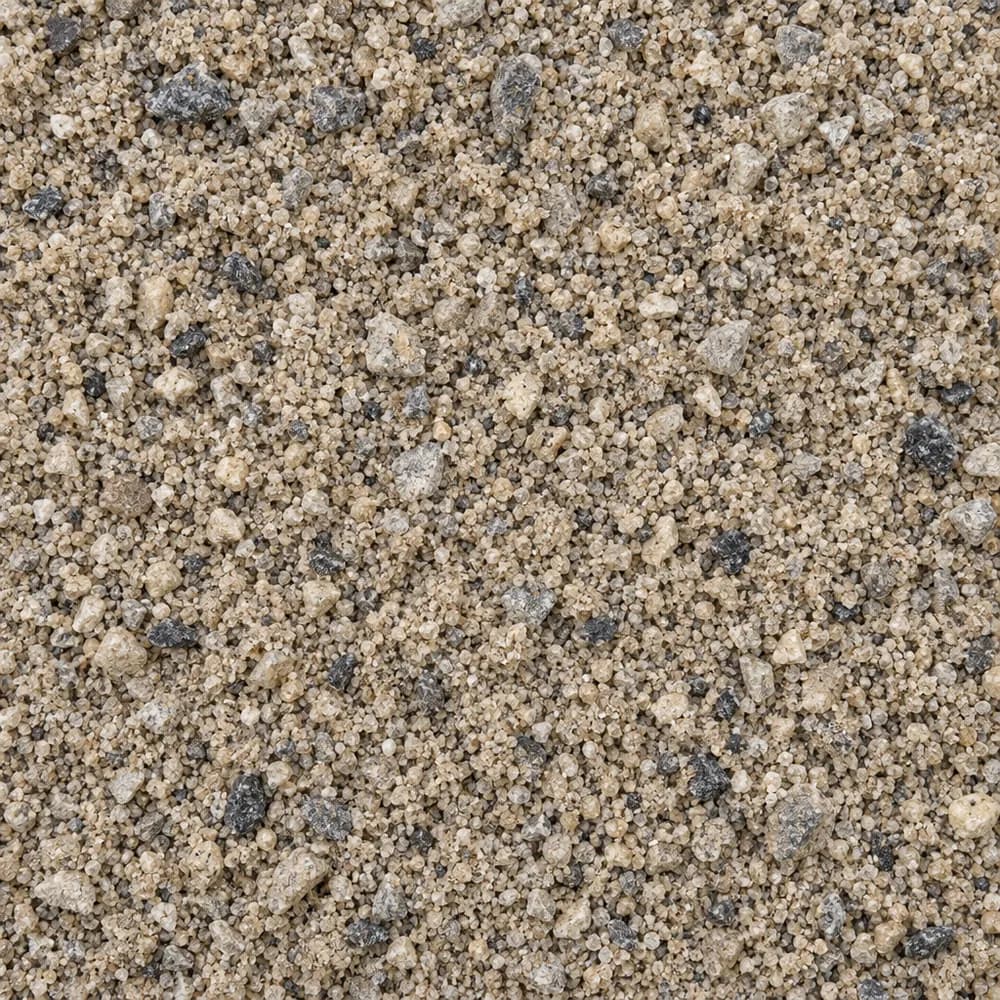 From$4682 ton delivered
Concrete Sand
Sand- Size
- Coarse
- Weight
- 2,700 lb/yd³
- Color
- Tan to gray
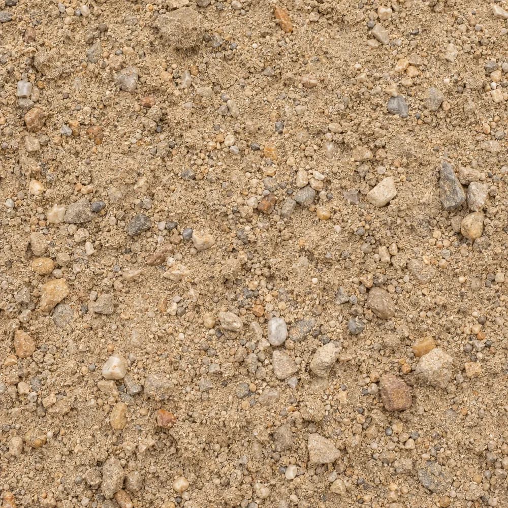 From$4742 ton delivered
Fill Sand
Sand- Size
- Unscreened
- Weight
- 2,700 lb/yd³
- Color
- Tan
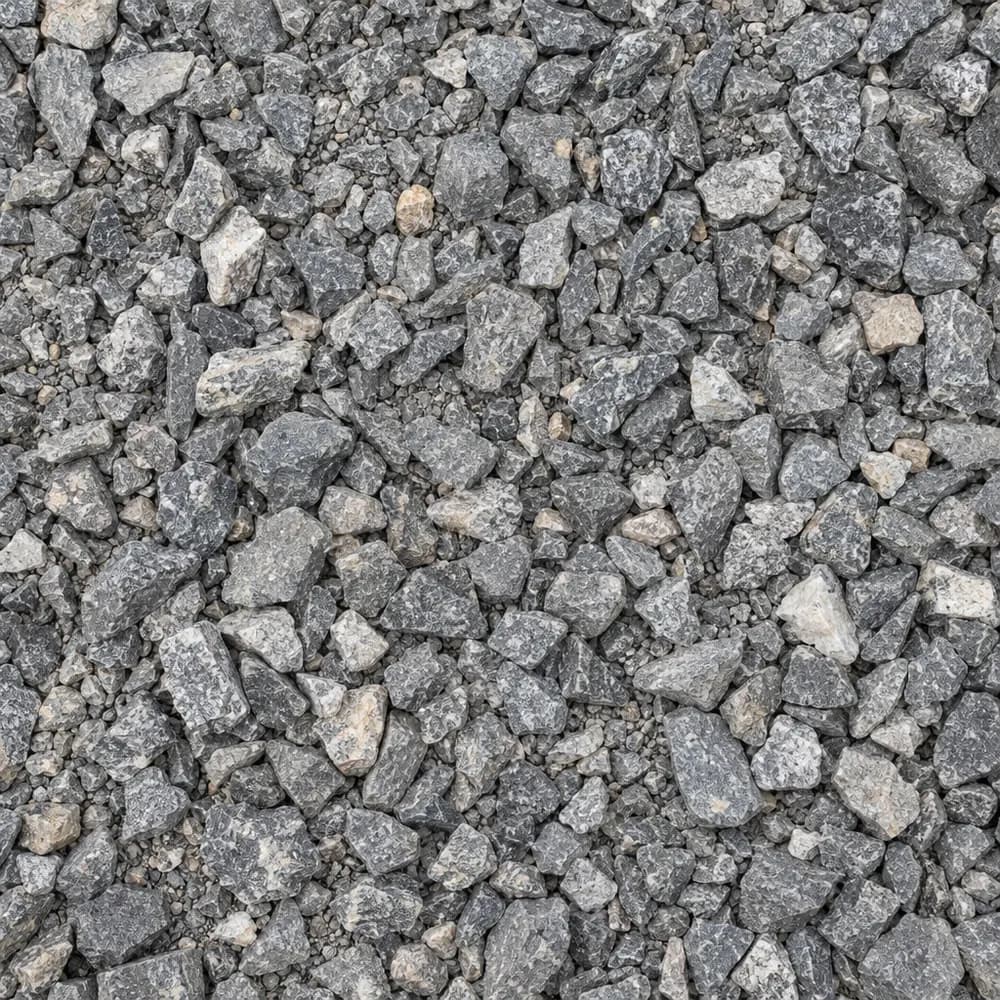 From$4822 ton delivered
#67 Stone
Gravel and Crushed Stone- Size
- 3/4 inch and under
- Weight
- 2,700 lb/yd³
- Color
- Gray
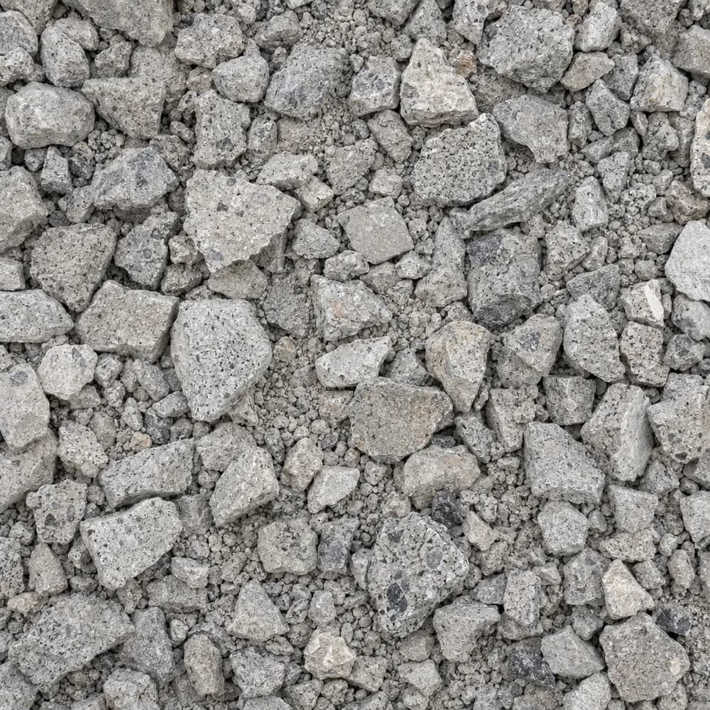 From$4872 ton delivered
Crushed Concrete
Driveway and Landscaping- Size
- 3/4 inch minus
- Weight
- 2,600 lb/yd³
- Color
- Light gray
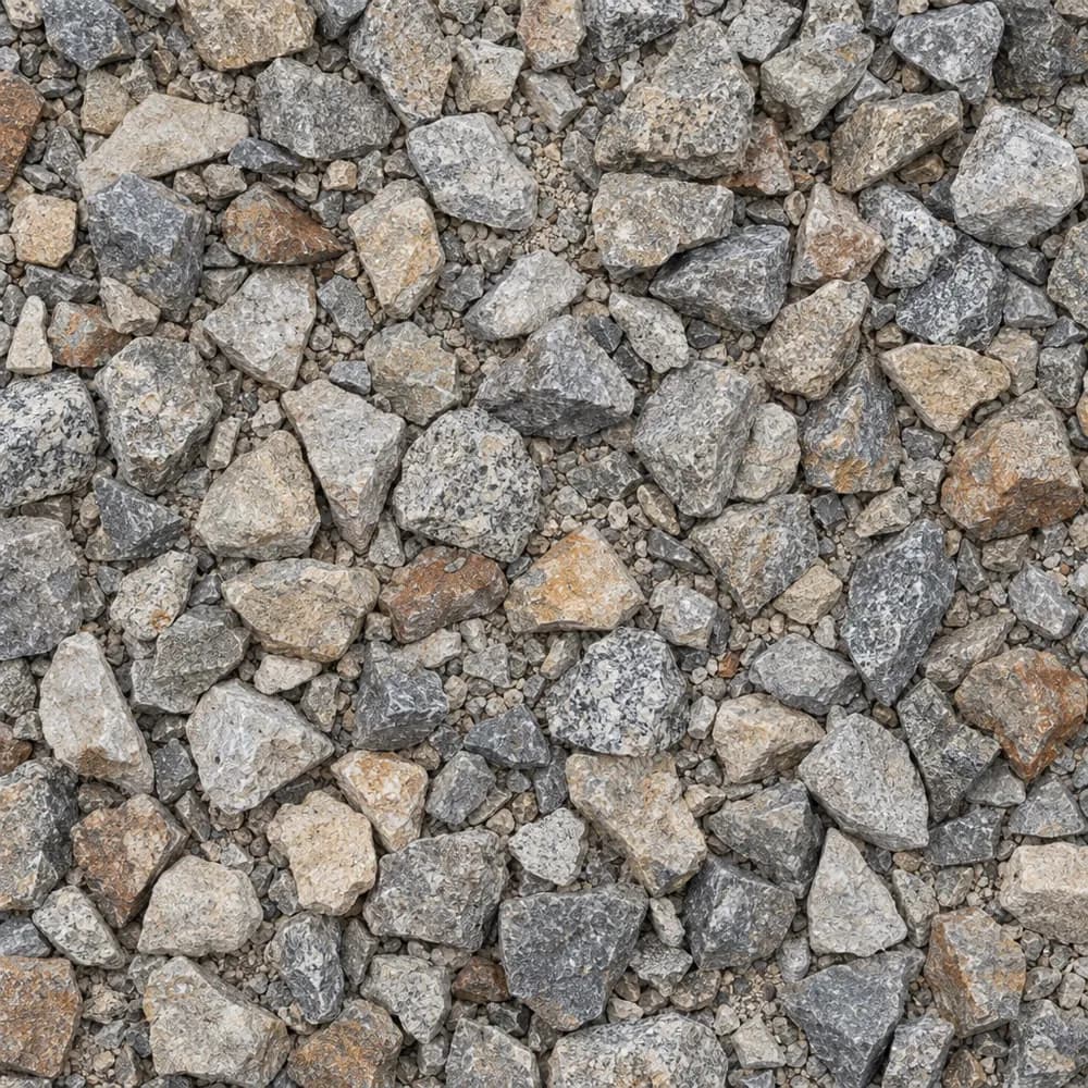 From$4882 ton delivered
1-1/2" Crushed Gravel
Gravel and Crushed Stone- Size
- 1-1/2 inch
- Weight
- 2,700 lb/yd³
- Color
- Gray to tan
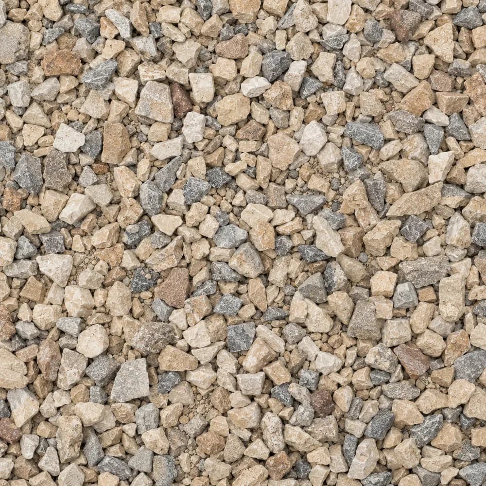 From$4892 ton delivered
Walkway Gravel
Driveway and Landscaping- Size
- 3/8 inch
- Weight
- 2,600 lb/yd³
- Color
- Mixed
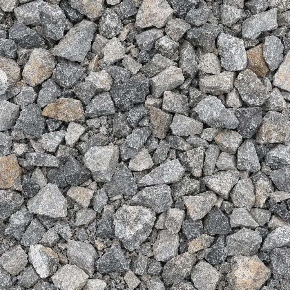 From$4902 ton delivered
Drain Rock
Drainage and Base- Size
- 3/4 to 1-1/2 inches
- Weight
- 2,700 lb/yd³
- Color
- Gray
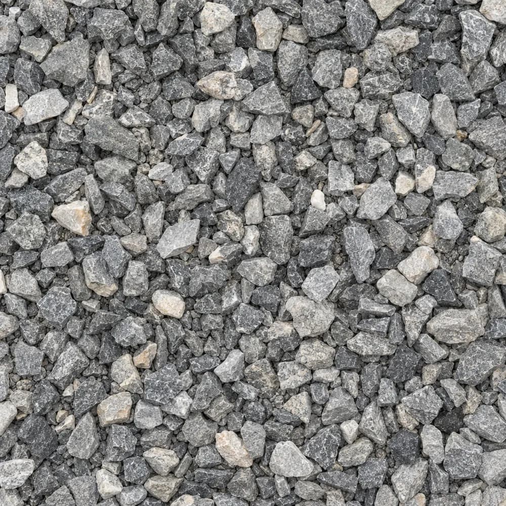 From$4932 ton delivered
3/8" Crushed Stone
Gravel and Crushed Stone- Size
- 3/8 inch
- Weight
- 2,700 lb/yd³
- Color
- Gray
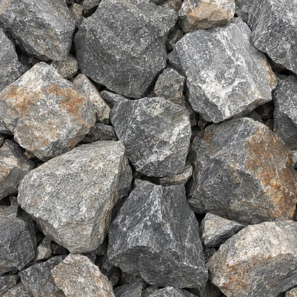 From$4962 ton delivered
Riprap
Drainage and Base- Size
- 6 to 12 inches
- Weight
- 2,700 lb/yd³
- Color
- Gray
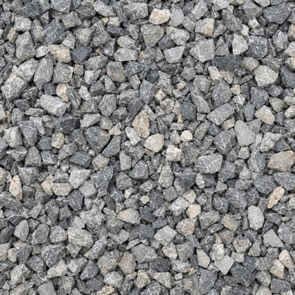 From$5052 ton delivered
#89 Crushed Stone
Gravel and Crushed Stone- Size
- 3/8 inch
- Weight
- 2,700 lb/yd³
- Color
- Gray
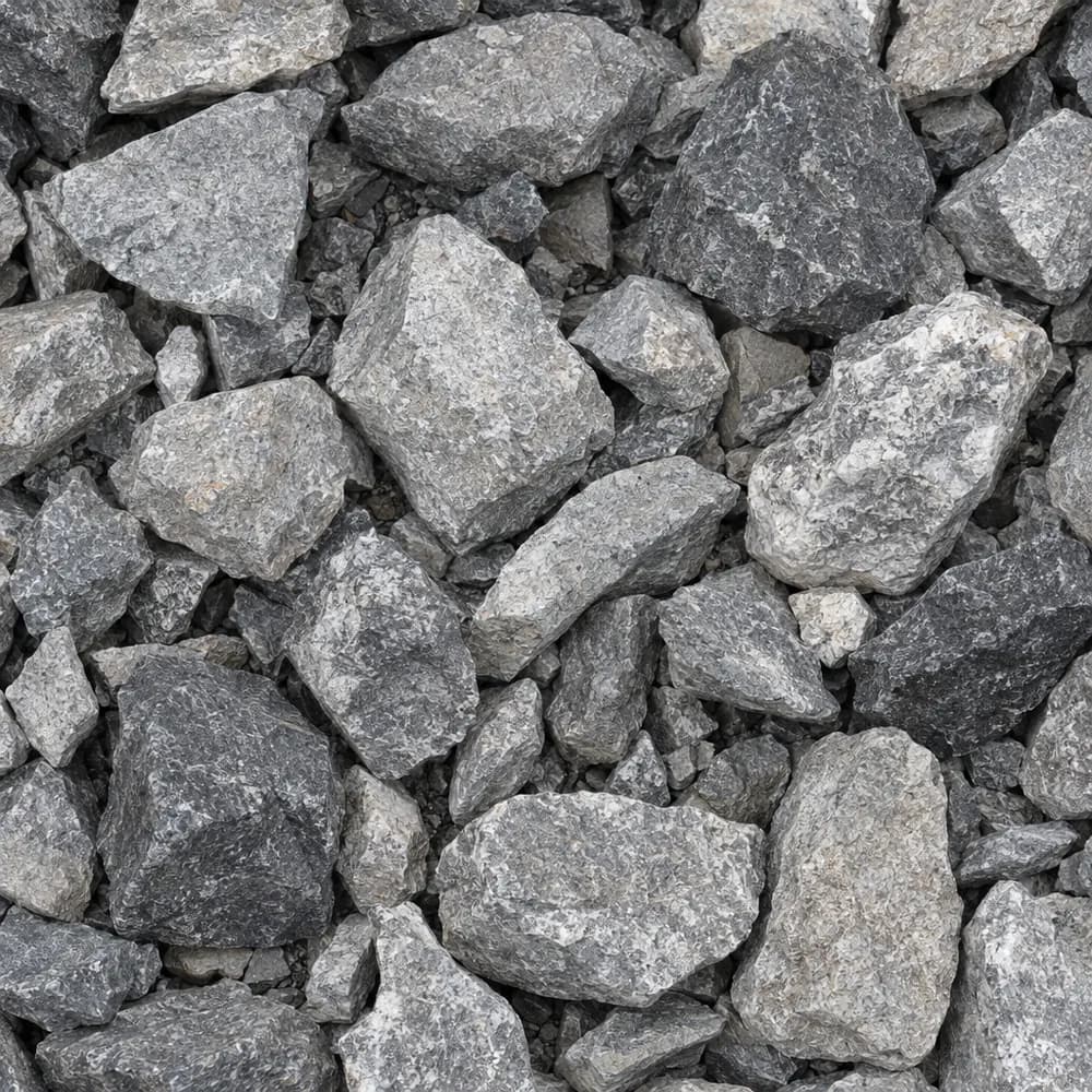 From$5062 ton delivered
#4 Crushed Stone
Gravel and Crushed Stone- Size
- 1-1/2 to 2-1/2 inches
- Weight
- 2,700 lb/yd³
- Color
- Gray
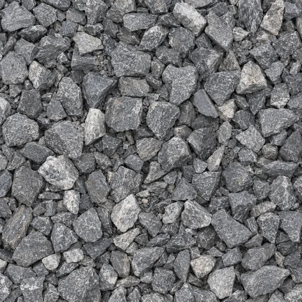 From$5132 ton delivered
3/4" Crushed Stone
Gravel and Crushed Stone- Size
- 3/4 inch
- Weight
- 2,700 lb/yd³
- Color
- Gray
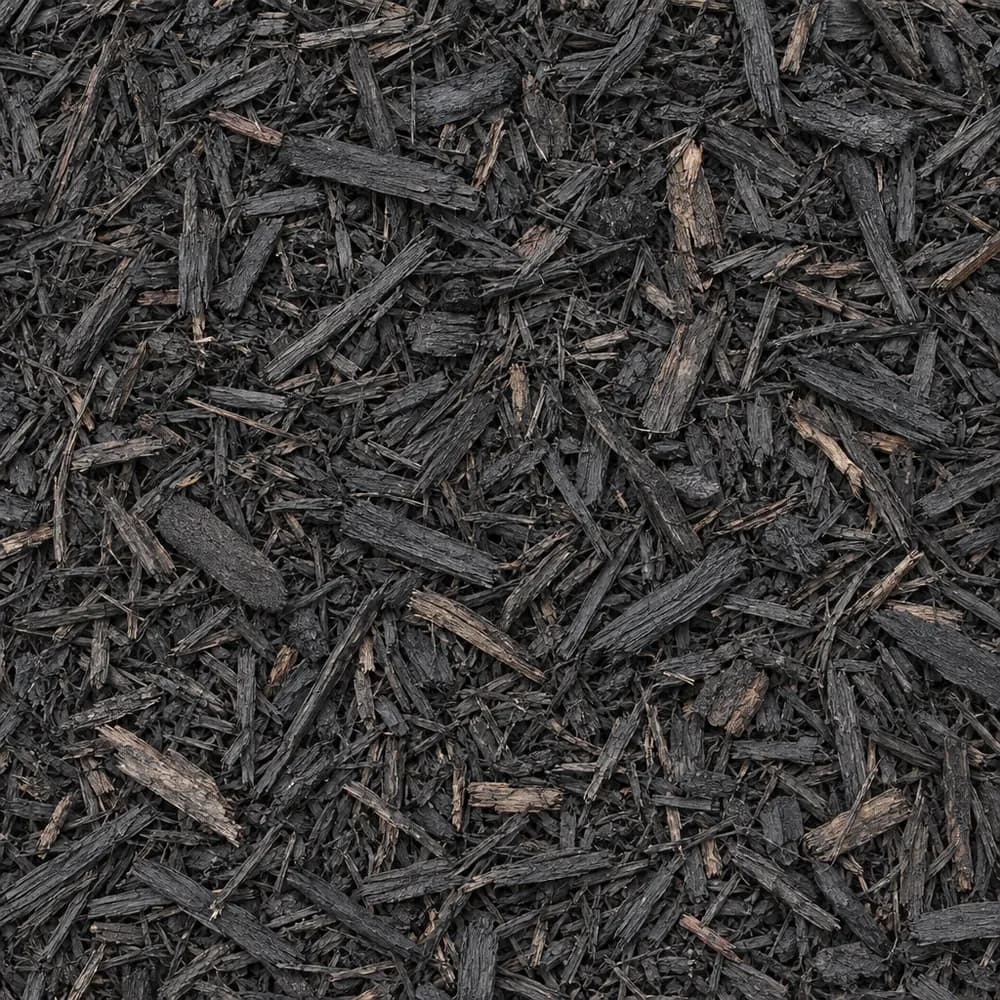 From$5372 yd delivered
Black Shredded Mulch
Mulch and Wood- Size
- Double shredded
- Weight
- 800 lb/yd³
- Color
- Black
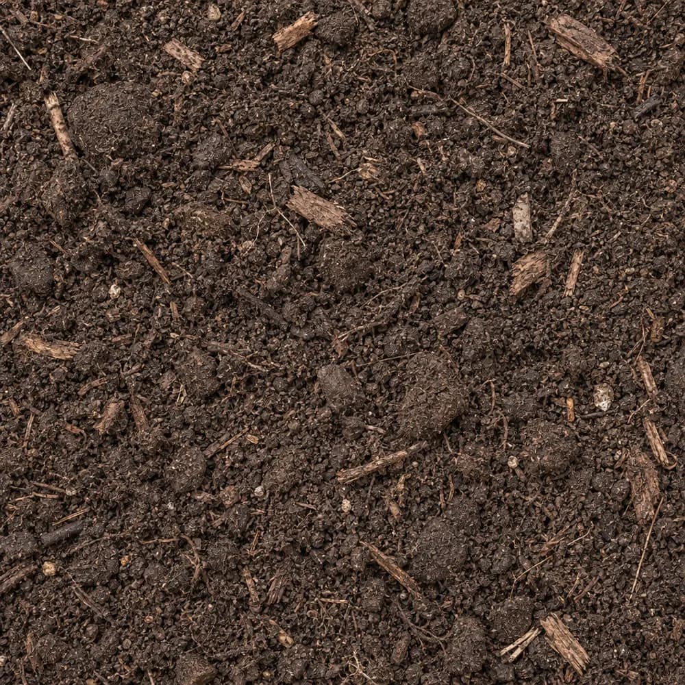 From$5602 ton delivered
Garden Soil
Soil and Fill- Size
- Blended
- Weight
- 2,000 lb/yd³
- Color
- Dark brown
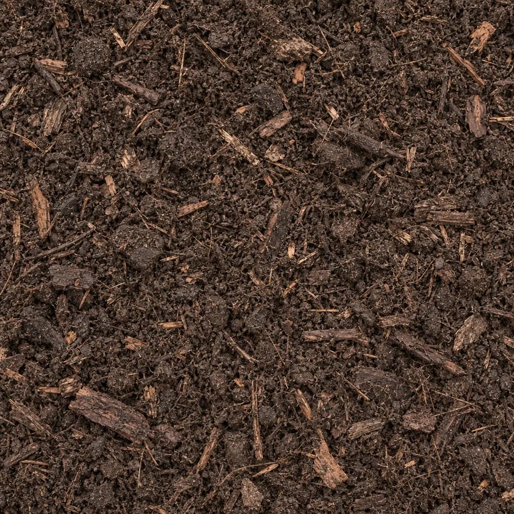 From$6042 yd delivered
Compost
Soil and Fill- Size
- Screened
- Weight
- 1,200 lb/yd³
- Color
- Dark brown
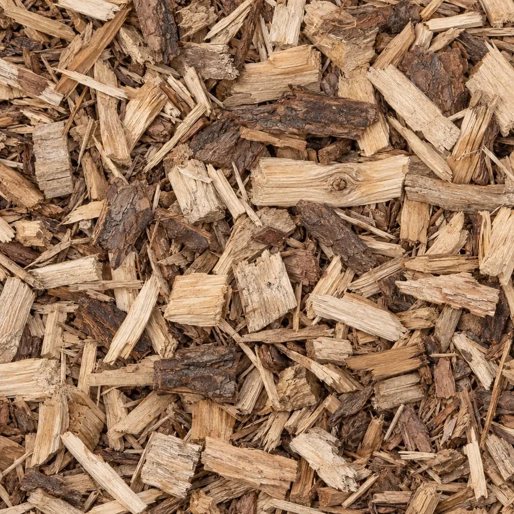 From$6252 yd delivered
Wood Chips
Mulch and Wood- Size
- 1 to 3 inches
- Weight
- 700 lb/yd³
- Color
- Natural
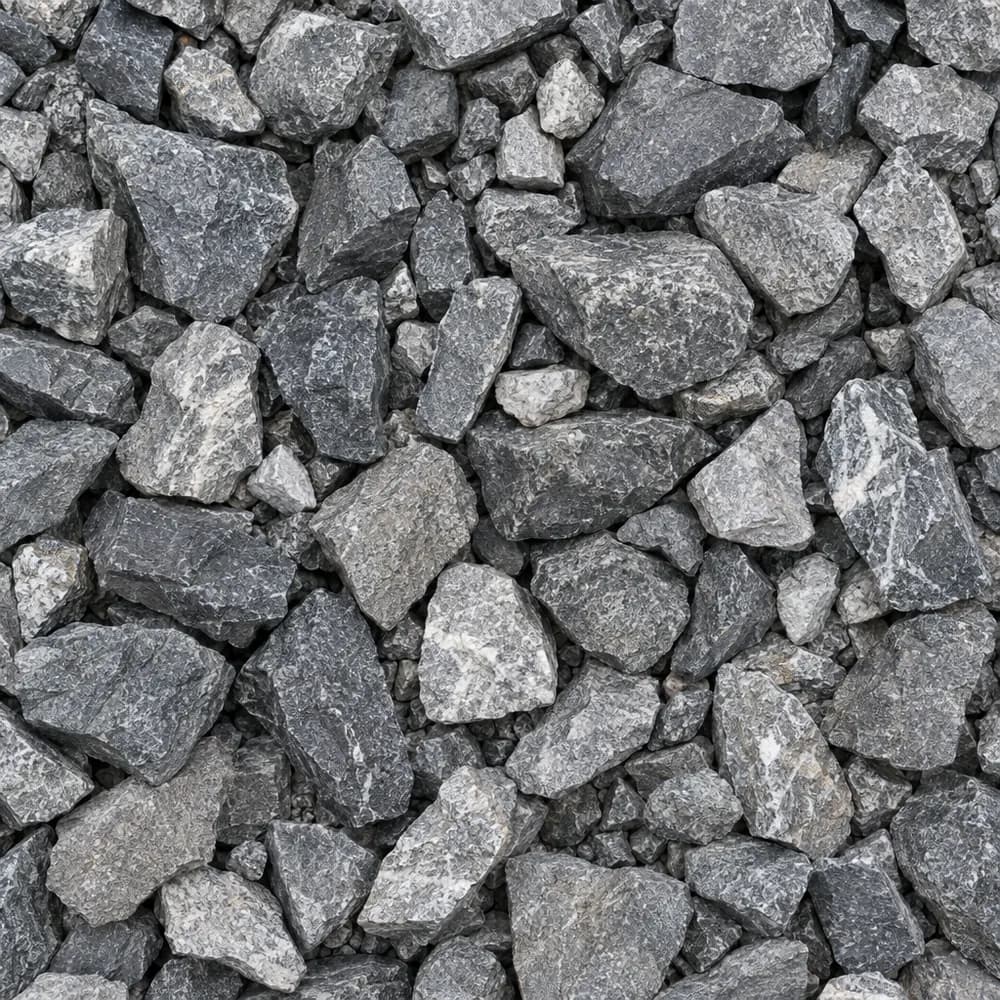 From$6352 ton delivered
Railroad Ballast
Gravel and Crushed Stone- Size
- 1-1/2 to 2-1/2 inches
- Weight
- 2,700 lb/yd³
- Color
- Gray
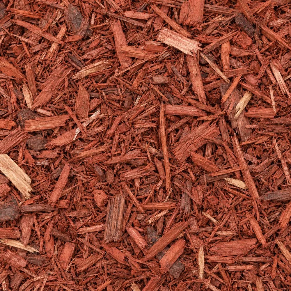 From$6672 yd delivered
Red Mulch
Mulch and Wood- Size
- Double shredded
- Weight
- 800 lb/yd³
- Color
- Red
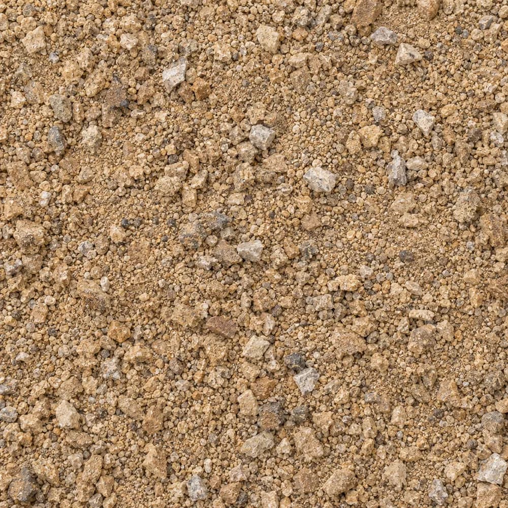 From$7572 ton delivered
Decomposed Granite
Driveway and Landscaping- Size
- 1/4 inch and fines
- Weight
- 2,500 lb/yd³
- Color
- Gold to tan
Popular projects
Common gravel projects in Lees Summit
The ground and weather in Lees Summit
Freeze, thaw and plenty of rain
The closest NOAA normals station is Lees Summit Muni AP, MO, about 3 miles from the ZIP. It averages 38.3 inches of precipitation a year, enough that a gravel surface without a crown or a ditch will soften in the wetter weeks and rut under a loaded truck. Every project plan here should answer one question before any other: where does the water go when a long rain ends.[1]
The airport station counts 96 days a year when the low dips to 32 F or colder. On a silty subgrade that is the number to respect, since silt draws water up toward the surface as it freezes and forms thin ice lenses that lift the ground. When those lenses melt, the soil above them turns soft and weak until it drains. A gravel drive that heaves and potholes after a cold snap is showing this cycle at work.[1]
At Lees Summit Muni AP the median last spring freeze comes on April 7. The median first fall freeze comes on October 29. Seed lawns and set tender plants after the April date, and lay fresh mulch before the October date so roots go into the cold under cover.[1]
The ground at the center point stands 990 feet above sea level.[2]
Silt loam with a swelling subsoil
The USDA soil survey maps Arisburg-Urban land complex, 1 to 5 percent slopes, at the ZIP's center point. The survey counts 30 percent of the map unit as urban land, meaning paved or built over, and the Arisburg series fills 61 percent. Where the ground is still open, Arisburg soil is the one a shovel meets.[3]
Its top mineral layer is silt loam, a smooth, floury soil that packs hard when dry and turns greasy when wet. The survey rates Arisburg somewhat poorly drained and places it in hydrologic group C, slow infiltration. Water enters this ground slowly and can sit just below the surface for days after a soaking rain, which is why spring yards on silt loam can stay squishy long after the sky clears.[3]
Shrink-swell in the top 100 cm is rated high, at 7.2 percent. Wet Arisburg soil grows, and dry Arisburg soil pulls back and cracks. Paired with the freeze cycle, that movement explains why slabs and steps on this ground can tilt over the years, while a well-built gravel surface settles and gets raked level again.[3]
Limestone and shale under the yard
The geologic map places the Kansas City Group at the ZIP's center point, a stack of Pennsylvanian layers made of limestone, shale, sandstone and coal. Limestone ledges in a sequence like that are hard and blocky, and a trench can stop dead on one. Shale layers between them break down into clay as they weather, which feeds the fine, slow-draining soil above.[4]
For a buyer, the rock mainly matters on deep digs: a footing, a basement drain or a long fence line. Where a ledge sits shallow, building up a few inches with Fill Dirt or Road Base is often easier than breaking stone, and a perforated drain bedded in Drain Rock along the top of a shale layer catches the seep that tends to run along it.[3],[4]
A driveway that rides out frost heave
Strip the dark topsoil and roots until you reach firm silt loam, then shape the subgrade with a crown so water sheds to both sides. Roll out a woven fabric across the footprint. On silty, frost-prone ground the fabric keeps the base clean, so it stays open enough to drain instead of turning into a silty paste that holds water and heaves.[1],[3]
Build the base in two courses. A lower layer of 1-1/2" Crushed Gravel or #4 Crushed Stone gives a coarse, open bed that drains fast and resists the lift from ice below. Above it, Road Base compacted in thin lifts fills the gaps and sets up firm. Crushed Concrete can stand in for that upper layer. Finish with 3/4" Crushed Stone or Driveway Gravel. Run a ditch of #57 Crushed Stone along the low edge, and with 38.3 inches of yearly rain at the station, give it an outlet so water leaves the site rather than pooling at the end of the drive.[1],[3]
Every gravel drive on swelling, frost-prone silt loam needs a little care once the ground thaws. Walk it after the April freeze date, rake loose stone back into the wheel tracks, and fill any soft dips with fresh 3/4" Crushed Stone. Catching a low spot early stops a puddle from forming there, and a puddle is where the next round of heaving starts.[1],[3]
#57 Crushed Stone or #67 Stone for a drain line
These two stones show up in most French drain and footing drain plans, and the choice comes down to the gap size you want. #57 Crushed Stone runs a little larger, with pieces about the size of a grape to a walnut. Its wide gaps pass water fast and resist clogging, so it works well in the main body of a drain trench on slow, silty ground where a lot of water arrives at once.[1],[3]
#67 Stone carries a mix of that size and smaller chips, so it packs a little tighter and gives a smoother top. It suits the bedding around a pipe, a walkway that doubles as a drain path, or the top layer of a trench that people cross on foot. On swelling silt loam, either stone should sit inside a fabric wrap, because loose silt washing into the gaps is what ends a drain's useful life. A simple build uses #57 Crushed Stone around and below the pipe and a cap of #67 Stone where the trench meets the lawn.[3]
Silt loam can grow a fine garden once its surface stays loose. Spread a layer of Compost over new beds each year and fork it in, or build raised beds filled with Garden Soil. Brown Shredded Mulch or Wood Chips on top stop rain from sealing the surface into a crust. Near paved areas, where runoff gathers, a border of River Rock gives that water a place to slow down before it reaches the plants.[3]
Homes in ZIP 64063 and the MoDOT base standard
The Census counts 9,235 housing units in ZIP 64063. Lee's Summit holds 42,240 units in all.[5]
Detached single-family houses make up 69 percent of homes in ZIP 64063. For Lee's Summit as a whole, the share is 72 percent.[5]
By the Census median, homes in ZIP 64063 were built in 1983, and the Lee's Summit median is 1994. Owners live in 64 percent of the occupied homes in the ZIP.[5]
The Missouri Department of Transportation lists its base standard as Aggregate Base Course, Type 1 Aggregate, Section 304, in the Missouri Standard Specifications for Highway Construction (2026). It covers the graded stone layer placed under state pavement.[6]
ZIP 64063 lies in Jackson County, and Gravel Valet also delivers to Independence, Olathe and Overland Park.[6]
The numbers behind this page
| Fact | Value | Applies to | Source |
|---|---|---|---|
| NOAA normals station used | Lees Summit Muni AP, MO, about 3 miles away | Weather station | [1] |
| Average yearly precipitation | 38.3 inches | Weather station | [1] |
| Days a year the low reaches 32 F or colder | 96 days | Weather station | [1] |
| Median date of the last spring freeze (32 F) | April 7 | Weather station | [1] |
| Median date of the first fall freeze (32 F) | October 29 | Weather station | [1] |
| Ground elevation at the ZIP's center point | 990 feet | City center point | [2] |
| Soil map unit at the ZIP's center point | Arisburg-Urban land complex, 1 to 5 percent slopes | City center point | [3] |
| Share of the map unit mapped as urban land (paved or built over) | 30 percent | City center point | [3] |
| Main soil series | Arisburg (61 percent of the map unit) | City center point | [3] |
| Texture of the top mineral soil layer | silt loam | City center point | [3] |
| Drainage class | somewhat poorly drained | City center point | [3] |
| Hydrologic soil group | C (slow infiltration) | City center point | [3] |
| Shrink-swell in the top 100 cm (linear extensibility) | high, 7.2 percent | City center point | [3] |
| Mapped geologic unit at the ZIP's center point | Kansas City Group | City center point | [4] |
| Rock or sediment type of that unit | limestone, shale, sandstone, coal | City center point | [4] |
| Geologic age of that unit | Pennsylvanian | City center point | [4] |
| Housing units in ZIP 64063 | 9,235 | This ZIP | [5] |
| Housing units in Lee's Summit | 42,240 | Whole city | [5] |
| Share of homes in ZIP 64063 that are detached single-family houses | 69 percent | This ZIP | [5] |
| Share of homes in Lee's Summit that are detached single-family houses | 72 percent | Whole city | [5] |
| Median year homes in ZIP 64063 were built | 1983 | This ZIP | [5] |
| Median year homes in Lee's Summit were built | 1994 | Whole city | [5] |
| Share of occupied homes in ZIP 64063 lived in by the owner | 64 percent | This ZIP | [5] |
| Missouri Department of Transportation aggregate base specification | Aggregate Base Course, Type 1 Aggregate, Section 304, Missouri Standard Specifications for Highway Construction (2026) | State | [6] |
Sources
- NOAA NCEI U.S. Climate Normals 1991-2020, annual and seasonal, retrieved 2026-10-30
- USGS Elevation Point Query Service (3DEP), retrieved 2026-10-31
- USDA NRCS Soil Data Access (SSURGO soil survey), retrieved 2026-10-31
- USGS State Geologic Map Compilation (Horton and others, 2017), queried through the Macrostrat API, retrieved 2026-10-31
- U.S. Census Bureau, American Community Survey 2020-2024 5-year estimates (tables B25001, B25003, B25024, B25035), retrieved 2026-10-30
- Missouri Department of Transportation, Missouri Standard Specifications for Highway Construction (2026), Section 304, retrieved 2026-10-29
Point and station values describe one spot, not every lot in town. Check your own site before you build.
Nearby
Nearby cities we serve
Delivery
Your delivery in Lees Summit
- Minimum order
- 2 tons or 2 cubic yards
- Delivered price from
- $433 for 2 tons of Fill Dirt
- Priced from
- Lees Summit, MO ladder (this city)
We coordinate the truck from the yards that serve Lees Summit; we do not run a yard in town.
Coverage map
Where we deliver in Lees Summit
The drawing shows the nearest cities we price around Lees Summit, at true bearing and distance. Outside the rings, enter your ZIP and we quote the haul from the nearest ladder.
Need bulk material delivered in Lees Summit?
Delivered prices on every card, or send the job and we price it by hand.
Tools
Helpful calculators
Frequently Asked Questions
How do I stop my gravel driveway from heaving each winter?
Keep water out of the base. Lay woven fabric on the compacted silt loam, add a coarse lower course of 1-1/2" Crushed Gravel or #4 Crushed Stone, then Road Base packed in lifts, and finish with 3/4" Crushed Stone. Shape a crown and run a ditch along the low side. The Lees Summit Muni AP station counts 96 days a year at 32 F or colder, so drainage under the stone matters.
Why does my yard stay soggy in spring?
The soil survey rates the Arisburg soil at the ZIP's center point as somewhat poorly drained, with a silt loam top layer in hydrologic group C, slow infiltration. Water soaks in slowly and lingers. A French drain filled with #57 Crushed Stone, or a shallow swale lined with River Rock, gives that water a way out.
What goes under a paver patio on silty soil?
Dig out topsoil, compact the silt loam, and lay fabric. Spread Road Base in thin lifts and pack each one hard. Screed a thin bed of Concrete Sand to set the pavers, and sweep Mason Sand into the joints. Slope the patio away from the house so rain does not soak the subgrade near the foundation.
Should I use Topsoil or Garden Soil for new beds?
Garden Soil is the quicker choice for a raised bed, since it comes ready to plant. For a large in-ground bed, spread Topsoil and fork in Compost to loosen the silt loam below. Either way, mulch the top with Brown Shredded Mulch or Wood Chips to keep the surface from crusting after heavy rain.
When is the best time to plant here?
The Lees Summit Muni AP station places the median last spring freeze on April 7 and the median first fall freeze on October 29. Tender plants and new seed do best after the April date. Fall planting of shrubs and trees works well when finished a few weeks before the October date, with mulch spread over the roots.