
Service area · IN
Gravel, Stone and Soil Delivery in Fishers, IN
Bulk gravel, crushed stone, sand, soil and mulch delivered across Fishers, IN, priced by the load for your ZIP.
- Min. order
- 2 tons or 2 yd³
- Area
- Fishers and nearby ZIPs
- From
- $425 delivered
Every price below is the delivered total.
Gravel Valet brings bulk gravel, crushed stone, sand, soil and mulch to Fishers homes and job sites. Put your ZIP in the box above to see what we deliver to your street.
The notes below read the low silt loam at ZIP 46037, the limestone under it, the Carmel weather gauge and Census housing, then explain what each means for a drive, a patio or a bed.
Plan
How much do you need?
Work out your material
In stock
Materials available in Fishers
Every price is the delivered total for 2 tons or yards, in whole dollars.
 From$4982 ton delivered
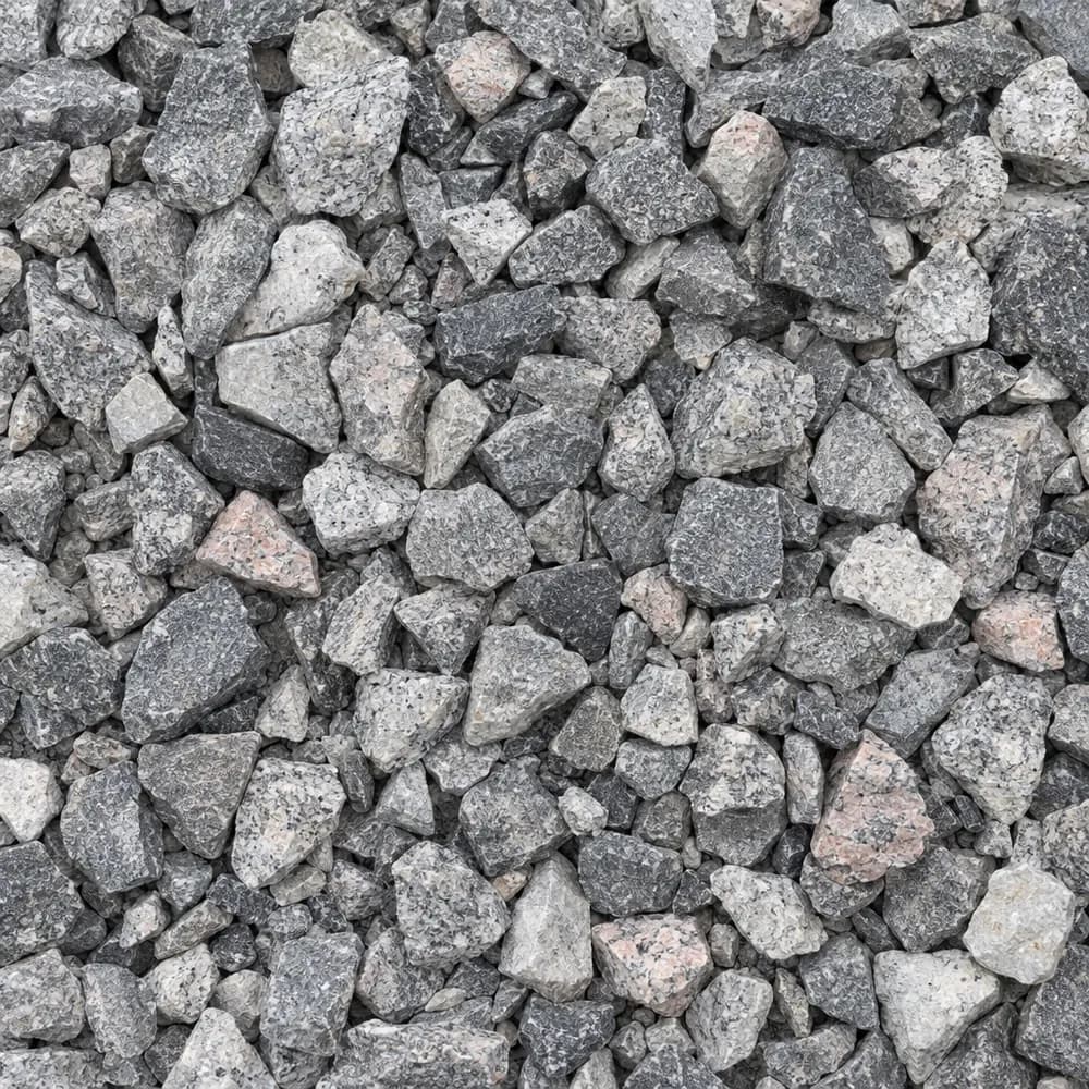
#57 Crushed Stone
Gravel and Crushed Stone- Size
- 3/4 to 1 inch
- Weight
- 2,700 lb/yd³
- Color
- Gray
 From$5352 ton delivered
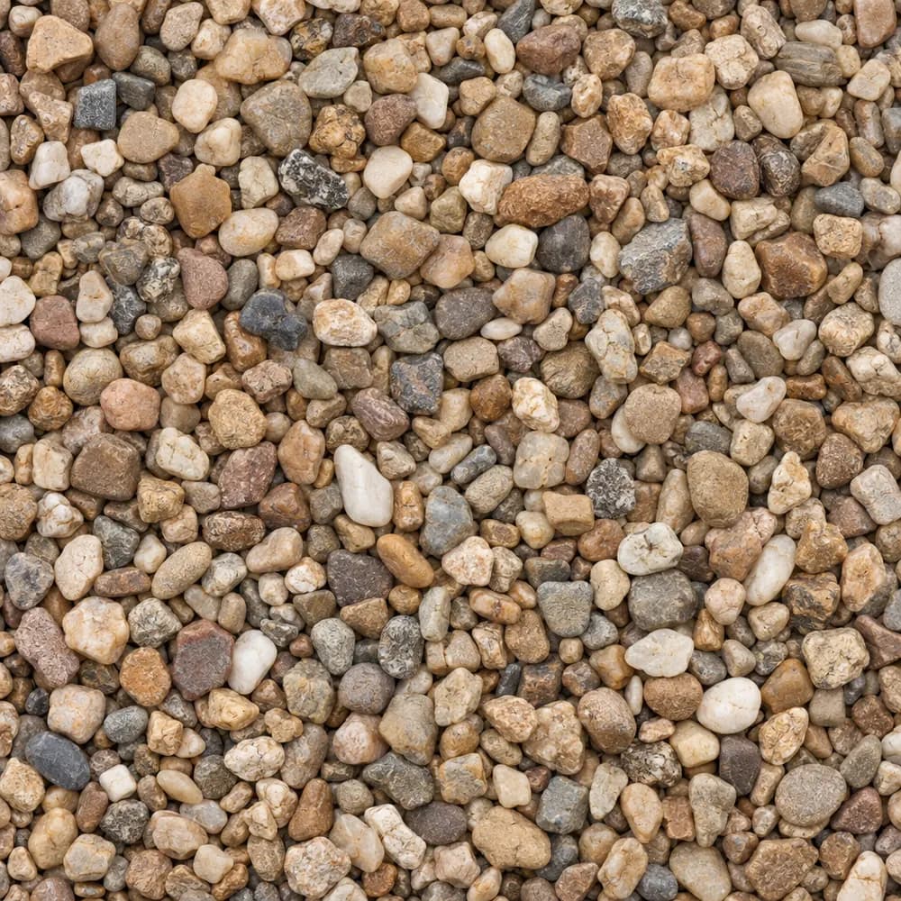
Pea Gravel
Driveway and Landscaping- Size
- 3/8 inch
- Weight
- 2,600 lb/yd³
- Color
- Mixed tan and brown
 From$6482 ton delivered
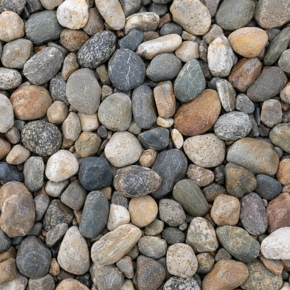
River Rock
Driveway and Landscaping- Size
- 1 to 3 inches
- Weight
- 2,600 lb/yd³
- Color
- Mixed earth tones
 From$5032 ton delivered
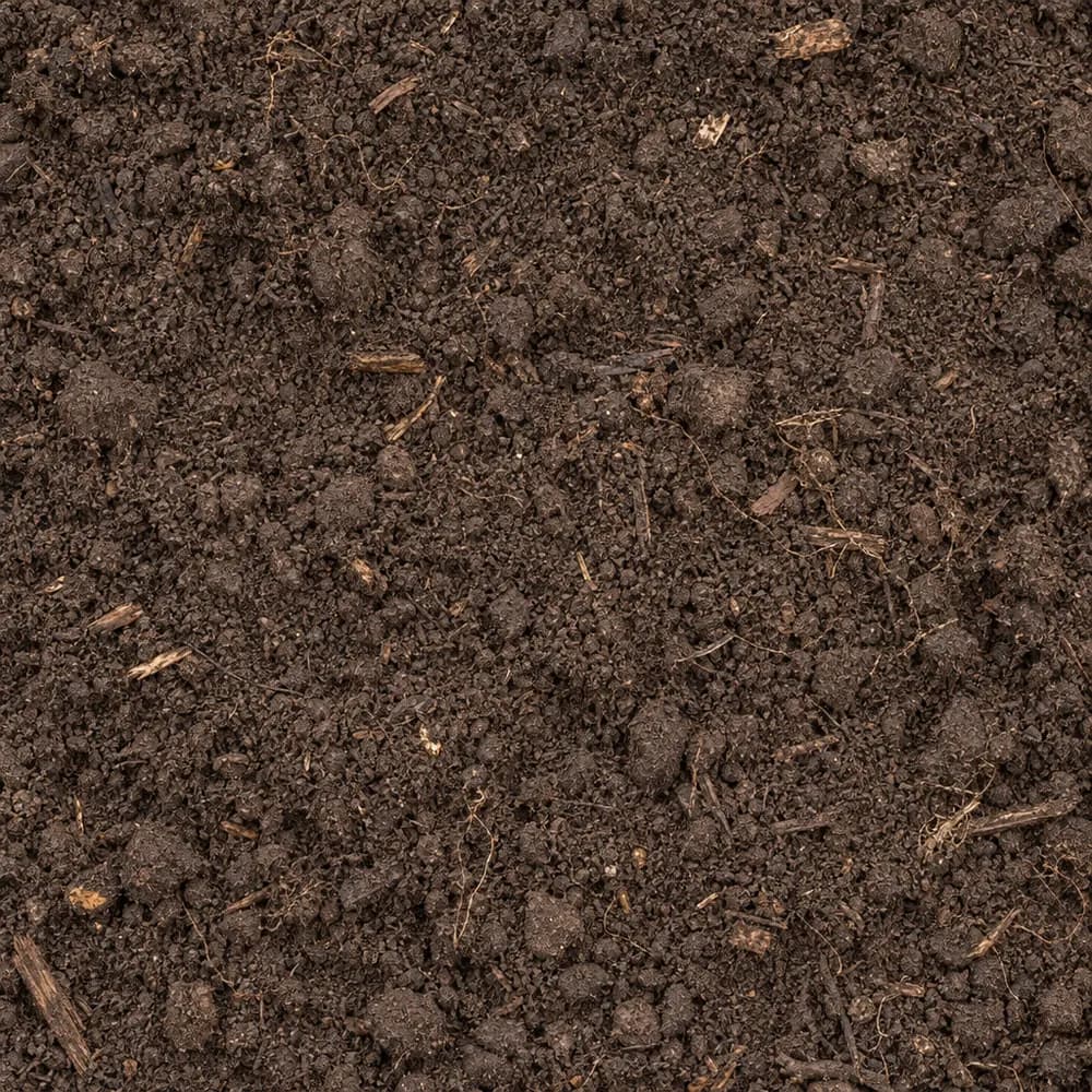
Topsoil
Soil and Fill- Size
- Screened
- Weight
- 2,200 lb/yd³
- Color
- Dark brown
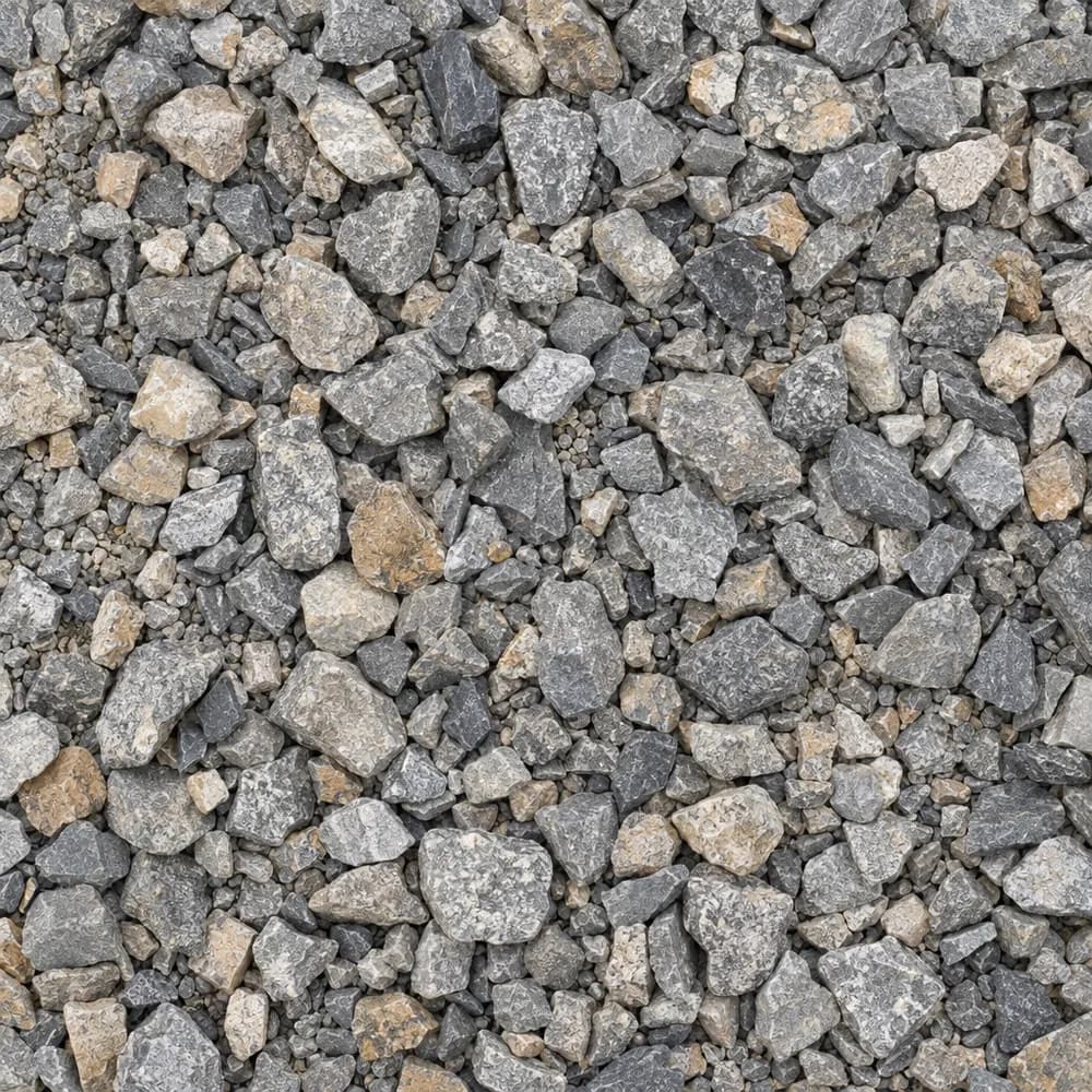 From$5012 ton delivered
Driveway Gravel
Driveway and Landscaping- Size
- 3/4 inch clean crushed
- Weight
- 2,700 lb/yd³
- Color
- Gray
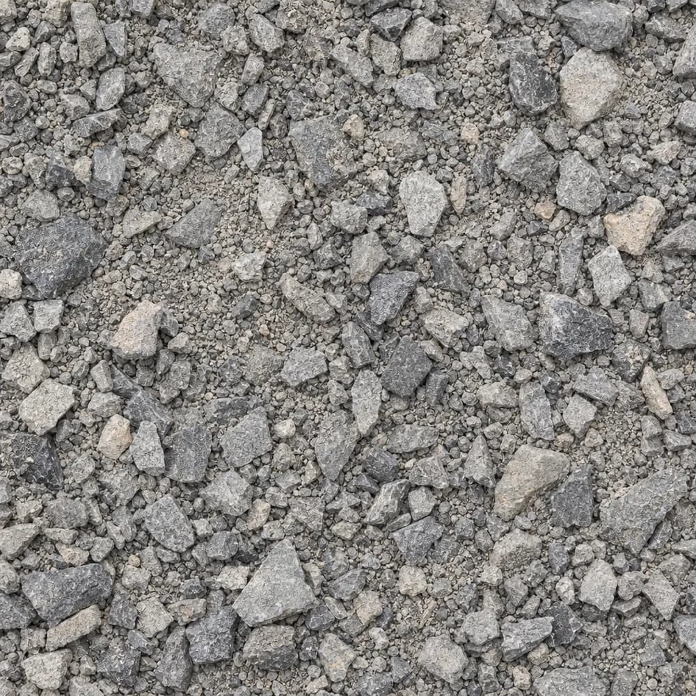 From$5092 ton delivered
Road Base
Drainage and Base- Size
- 3/4 inch minus
- Weight
- 2,800 lb/yd³
- Color
- Gray
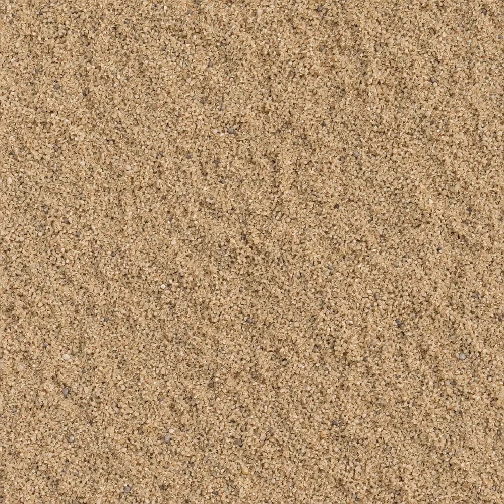 From$5662 ton delivered
Mason Sand
Sand- Size
- Fine
- Weight
- 2,700 lb/yd³
- Color
- Tan
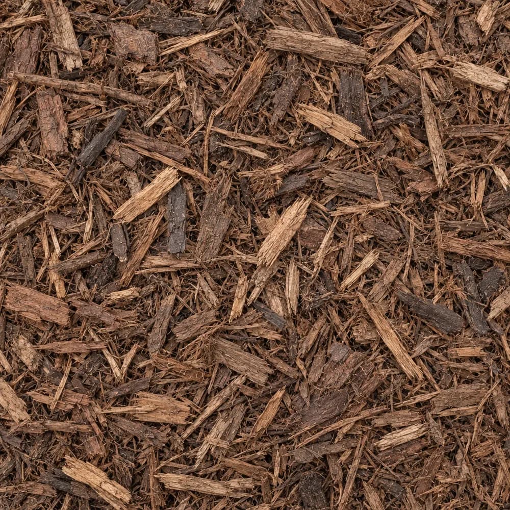 From$6282 yd delivered
Brown Shredded Mulch
Mulch and Wood- Size
- Double shredded
- Weight
- 800 lb/yd³
- Color
- Brown
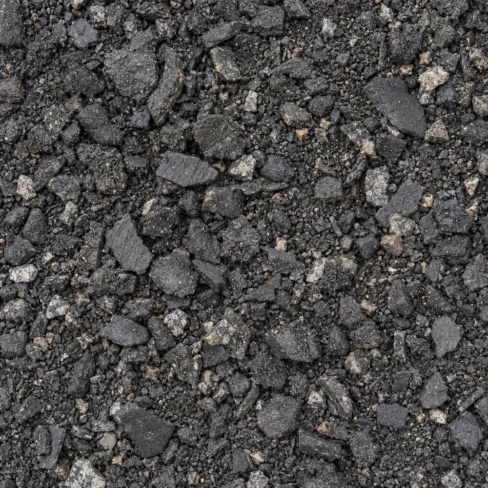 From$4252 ton delivered
Asphalt Millings
Driveway and Landscaping- Size
- 1 inch minus
- Weight
- 2,900 lb/yd³
- Color
- Black
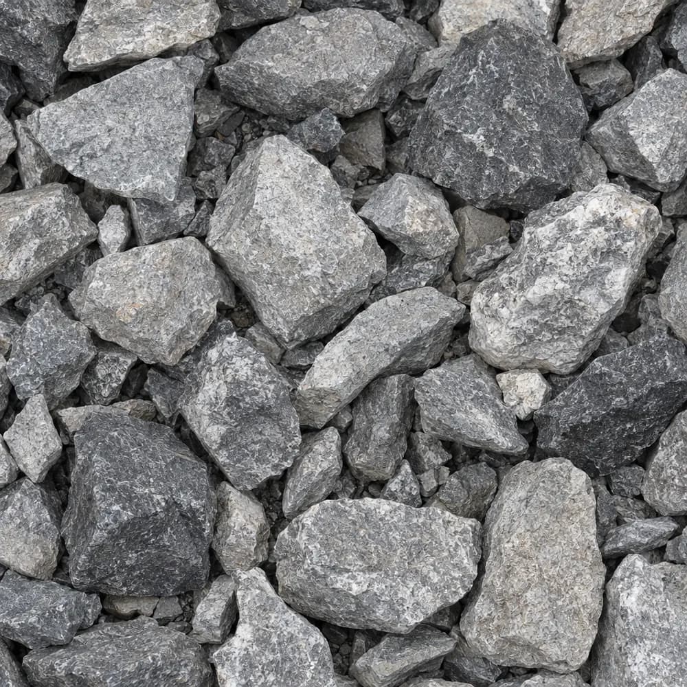 From$4482 ton delivered
#4 Crushed Stone
Gravel and Crushed Stone- Size
- 1-1/2 to 2-1/2 inches
- Weight
- 2,700 lb/yd³
- Color
- Gray
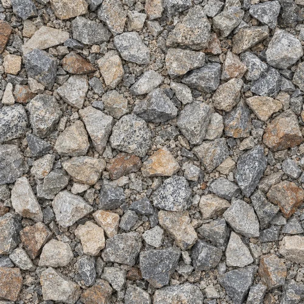 From$4582 ton delivered
1-1/2" Crushed Gravel
Gravel and Crushed Stone- Size
- 1-1/2 inch
- Weight
- 2,700 lb/yd³
- Color
- Gray to tan
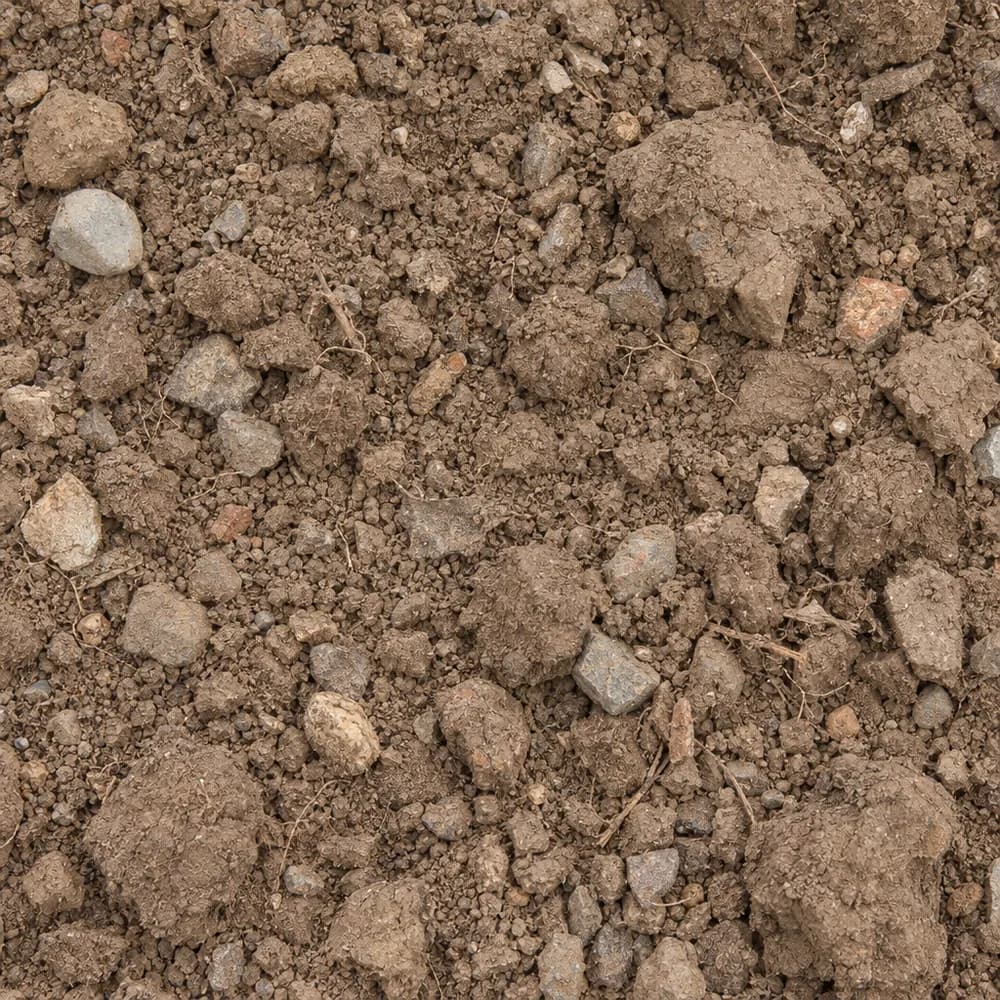 From$4602 ton delivered
Fill Dirt
Soil and Fill- Size
- Unscreened
- Weight
- 2,400 lb/yd³
- Color
- Brown
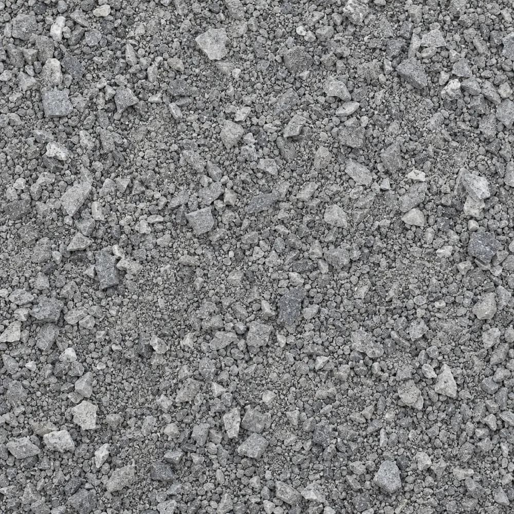 From$4652 ton delivered
Stone Dust Screenings
Drainage and Base- Size
- 1/4 inch and fines
- Weight
- 2,800 lb/yd³
- Color
- Gray
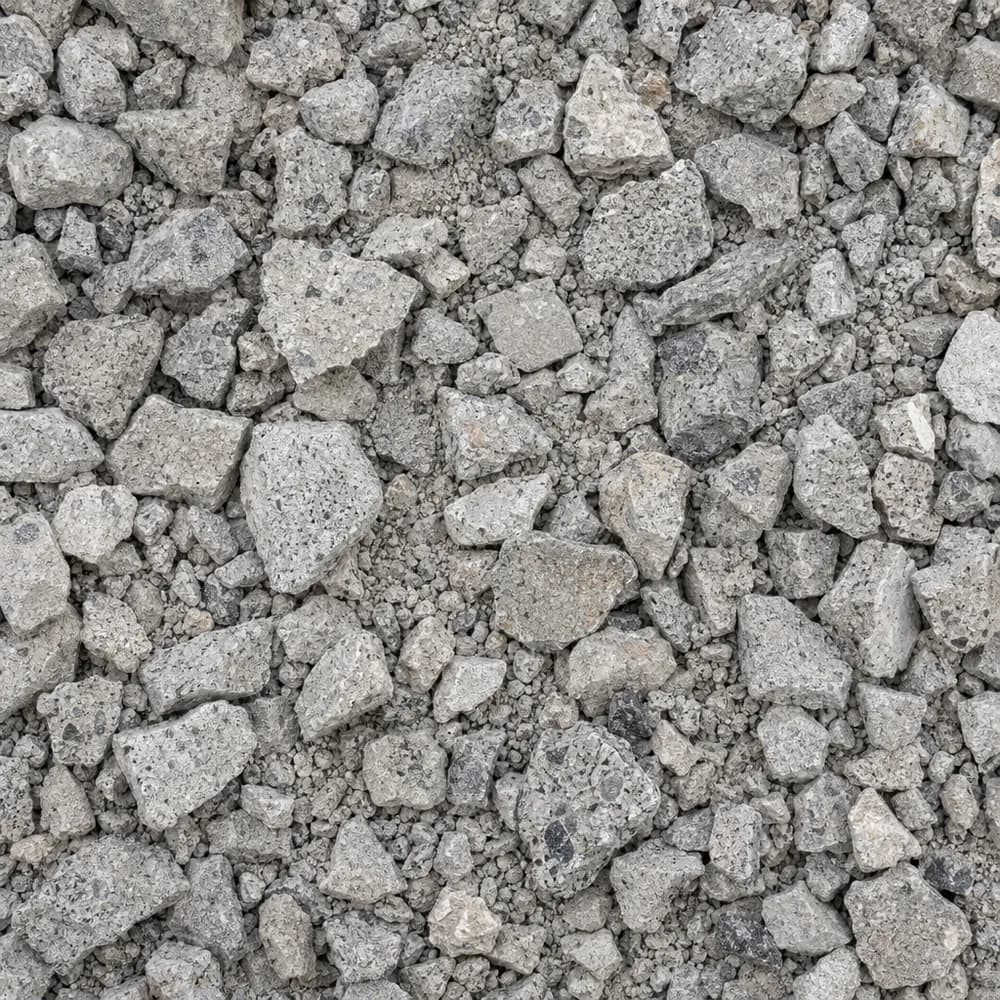 From$4762 ton delivered
Crushed Concrete
Driveway and Landscaping- Size
- 3/4 inch minus
- Weight
- 2,600 lb/yd³
- Color
- Light gray
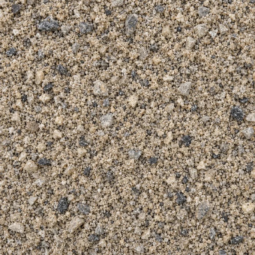 From$4812 ton delivered
Concrete Sand
Sand- Size
- Coarse
- Weight
- 2,700 lb/yd³
- Color
- Tan to gray
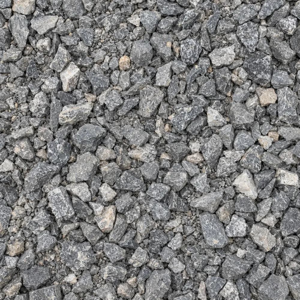 From$4862 ton delivered
#67 Stone
Gravel and Crushed Stone- Size
- 3/4 inch and under
- Weight
- 2,700 lb/yd³
- Color
- Gray
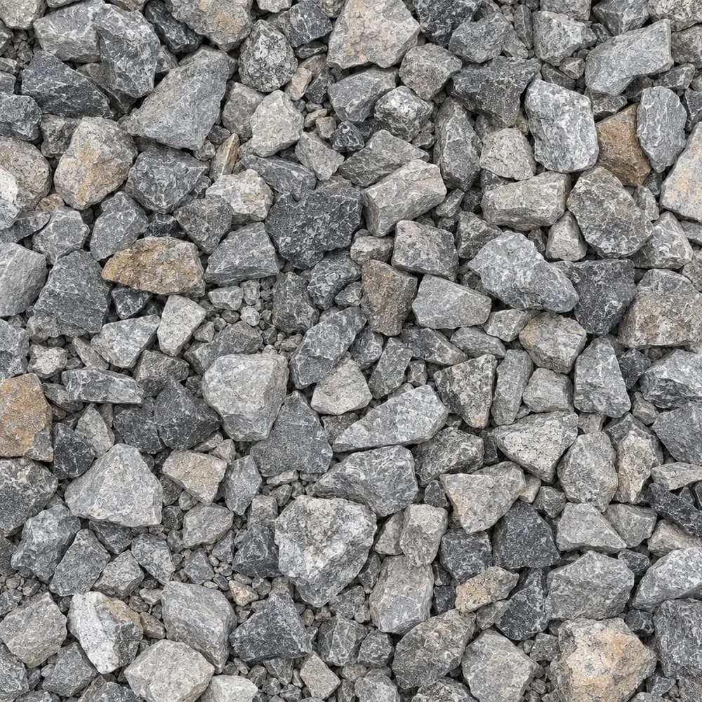 From$4942 ton delivered
Drain Rock
Drainage and Base- Size
- 3/4 to 1-1/2 inches
- Weight
- 2,700 lb/yd³
- Color
- Gray
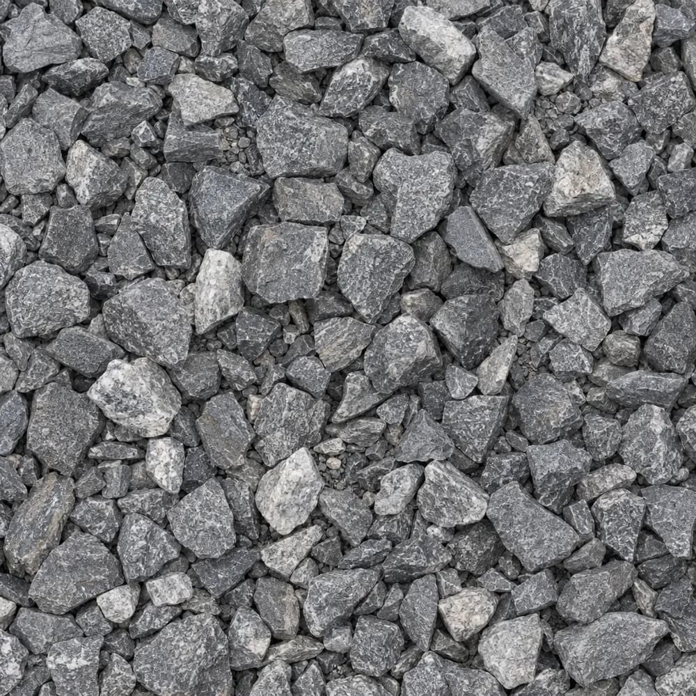 From$4962 ton delivered
3/4" Crushed Stone
Gravel and Crushed Stone- Size
- 3/4 inch
- Weight
- 2,700 lb/yd³
- Color
- Gray
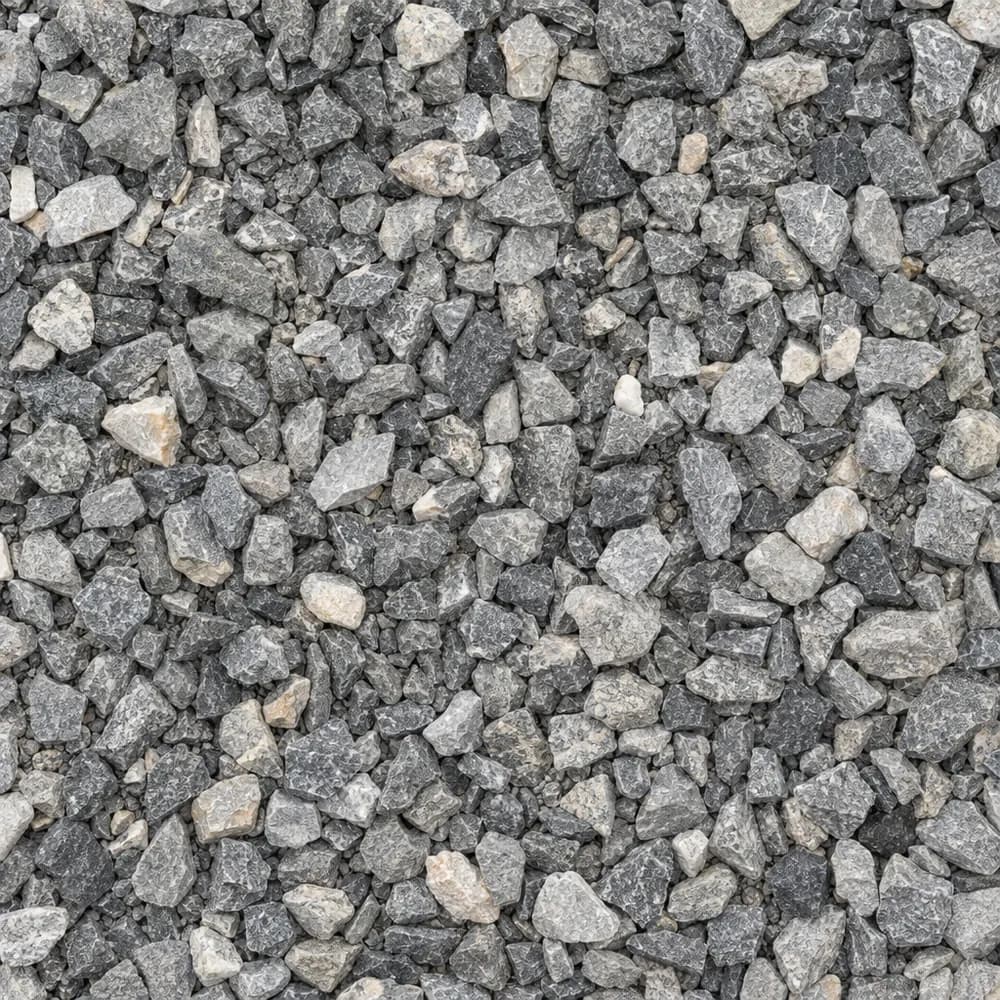
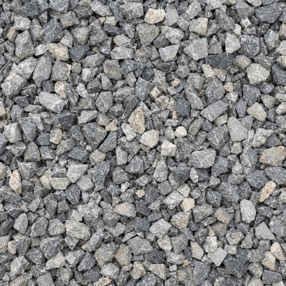 From$5042 ton delivered
#89 Crushed Stone
Gravel and Crushed Stone- Size
- 3/8 inch
- Weight
- 2,700 lb/yd³
- Color
- Gray
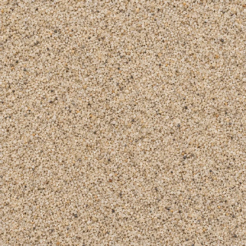 From$5042 ton delivered
Playground Sand
Sand- Size
- Fine, washed
- Weight
- 2,700 lb/yd³
- Color
- Light tan
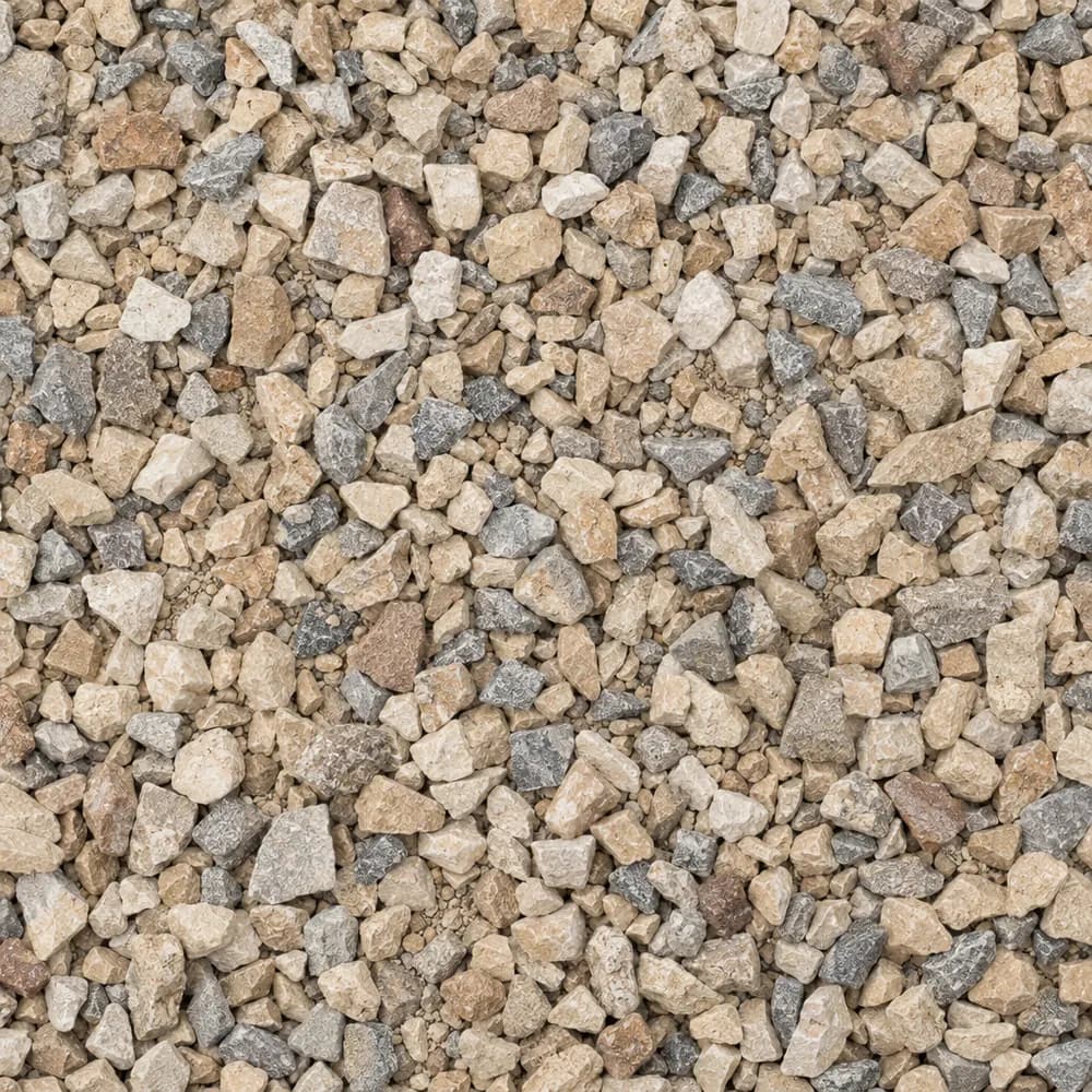
 From$5052 ton delivered
3/8" Crushed Stone
Gravel and Crushed Stone- Size
- 3/8 inch
- Weight
- 2,700 lb/yd³
- Color
- Gray
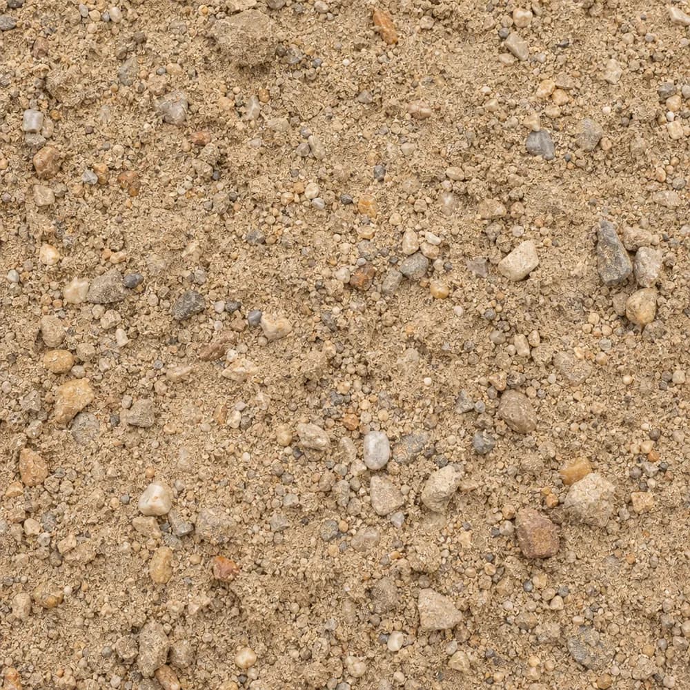
 From$5052 ton delivered
Walkway Gravel
Driveway and Landscaping- Size
- 3/8 inch
- Weight
- 2,600 lb/yd³
- Color
- Mixed
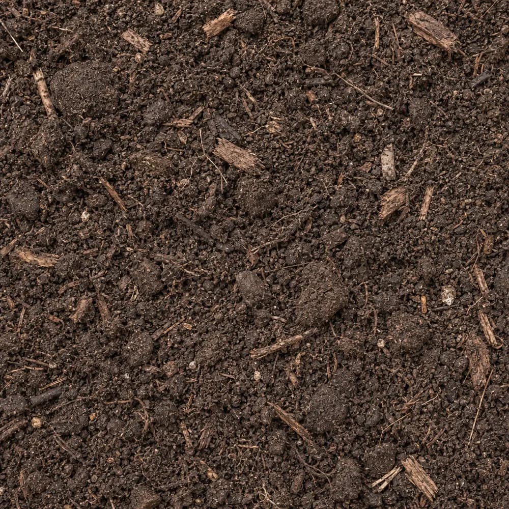
 From$5052 ton delivered
Fill Sand
Sand- Size
- Unscreened
- Weight
- 2,700 lb/yd³
- Color
- Tan
 From$5142 ton delivered
Garden Soil
Soil and Fill- Size
- Blended
- Weight
- 2,000 lb/yd³
- Color
- Dark brown
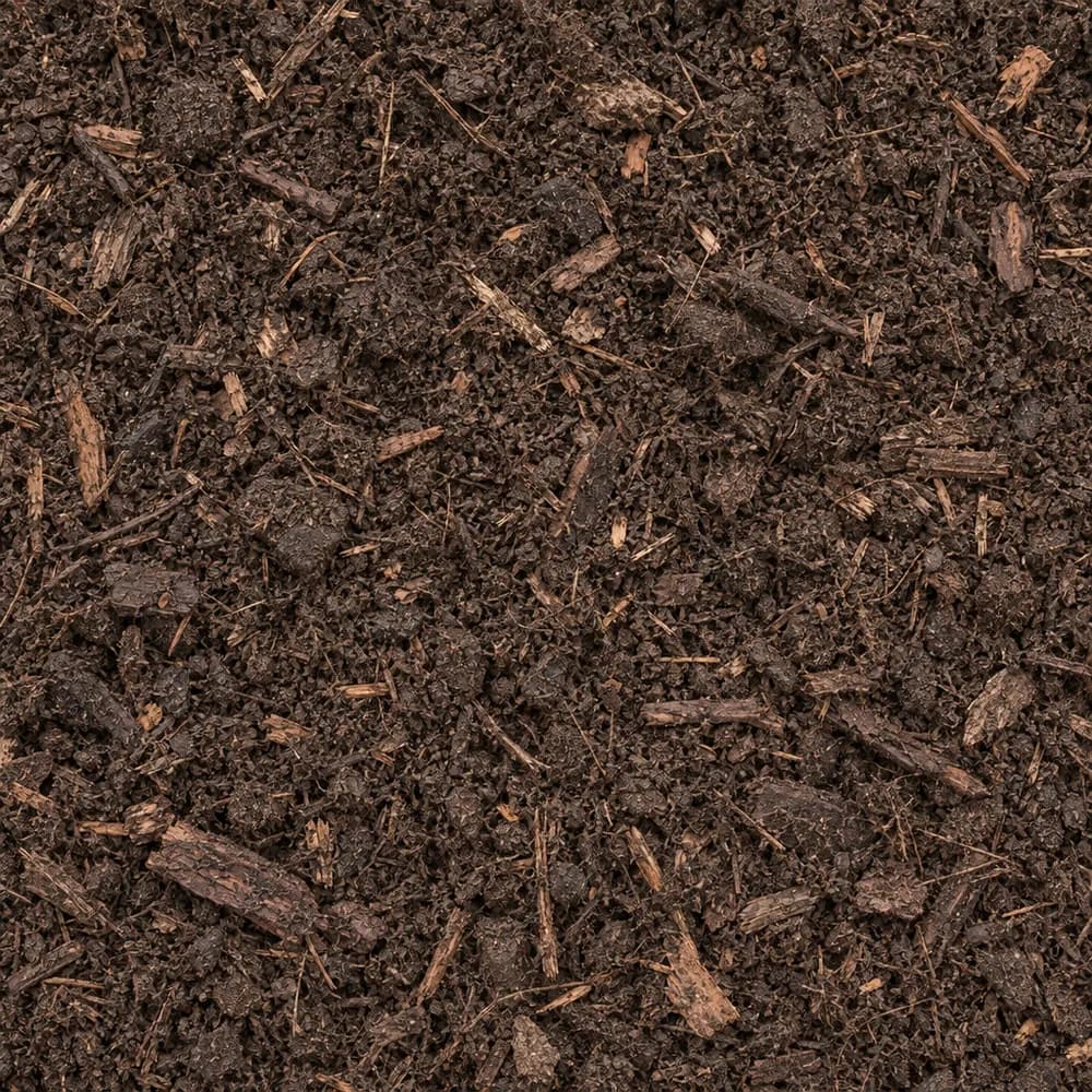 From$5442 yd delivered
Compost
Soil and Fill- Size
- Screened
- Weight
- 1,200 lb/yd³
- Color
- Dark brown
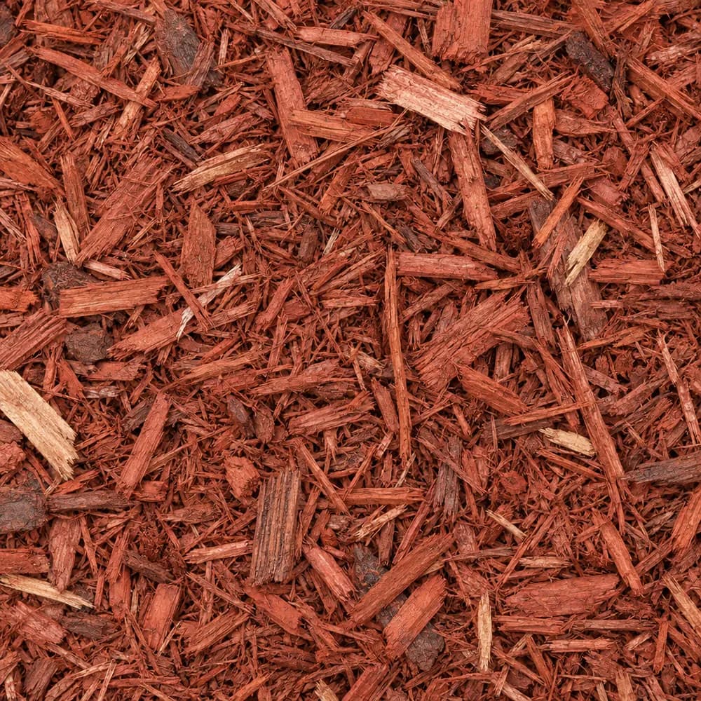 From$6222 yd delivered
Red Mulch
Mulch and Wood- Size
- Double shredded
- Weight
- 800 lb/yd³
- Color
- Red
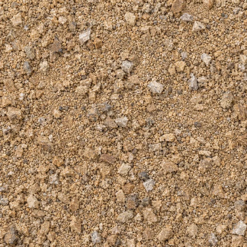 From$6282 ton delivered
Decomposed Granite
Driveway and Landscaping- Size
- 1/4 inch and fines
- Weight
- 2,500 lb/yd³
- Color
- Gold to tan
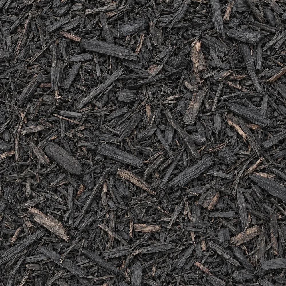 From$6322 yd delivered
Black Shredded Mulch
Mulch and Wood- Size
- Double shredded
- Weight
- 800 lb/yd³
- Color
- Black
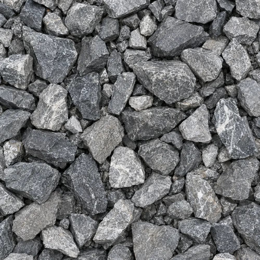 From$6382 ton delivered
Railroad Ballast
Gravel and Crushed Stone- Size
- 1-1/2 to 2-1/2 inches
- Weight
- 2,700 lb/yd³
- Color
- Gray
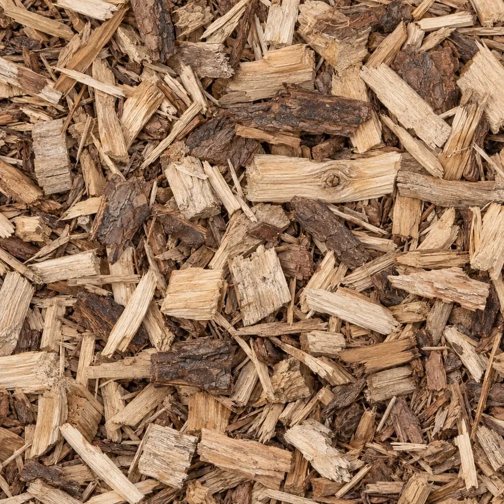 From$7232 yd delivered
Wood Chips
Mulch and Wood- Size
- 1 to 3 inches
- Weight
- 700 lb/yd³
- Color
- Natural
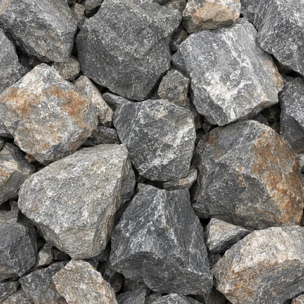 From$7352 ton delivered
Riprap
Drainage and Base- Size
- 6 to 12 inches
- Weight
- 2,700 lb/yd³
- Color
- Gray
Popular projects
Common gravel projects in Fishers
The ground and weather in Fishers
Shoals silt loam on low, wet ground
The USDA soil survey maps the Shoals silt loam-Urban land complex, 0 to 2 percent slopes, frequently flooded, brief duration, at the ZIP's center point. The Shoals series covers 60 percent of the map unit, and 30 percent is mapped as urban land, paved or built over. The words frequently flooded in the name tell you this map unit sits on low ground where high water can spread out, though it drains off again in a short time.[1]
The drainage class is somewhat poorly drained, and the hydrologic group is B/D: D while the water table is high, B where the ground has been drained. The silt can pass water at a fair rate, but a high water table may leave it nowhere to go. A wet spring can keep the subgrade soft for weeks.[1]
The top mineral layer is silt loam, smooth and floury when dry and slick when wet. Shrink-swell in the top 100 cm is moderate, with a linear extensibility of 3.3 percent. The soil moves a little with moisture, but water and frost are the bigger threats to a base here.[1]
Low ground that floods for short spells also collects silt each time the water drops back. A gravel surface on such a site may need a rake and a light top dressing after a high-water event, since fine sediment settles between the stones and slows drainage. Keep a small pile of matching stone on hand for those repairs.[1]
Wabash Formation limestone
The geologic map puts the Wabash Formation under the center point, a Silurian unit of limestone and dolostone. Rock like this usually lies well below a yard dig, buried under river silt and glacial deposits. It rarely affects a drive or a garden bed directly.[2]
The ground at the center point stands 800 feet above sea level. The map unit's slope is just 0 to 2 percent, so water spreads slowly across it, and any grade you build into a project does most of the work of moving runoff.[1],[3]
With 30 percent of the map unit mapped as urban land, part of the ground near the center point has already been graded, paved or filled. A dig there may find a firm layer of old base or packed fill above the native silt. Firm, clean fill can stay as a subgrade once it is compacted. Soft or mixed fill should come out and be replaced with Fill Dirt or Crushed Concrete in thin, compacted layers.[1]
Rain and freezes at Carmel 3 E
Weather normals come from the NOAA station at Carmel 3 E, IN, about 6 miles away. It averages 44.4 inches of precipitation a year. On somewhat poorly drained silt, that much water keeps the ground damp through much of the year, so stone that drains fast holds up better than dirt-heavy fill.[1],[4]
Carmel 3 E averages 122 days a year when the low falls to 32 F or colder. Wet silt is one of the soils most prone to frost heave, because it pulls water up toward the freezing layer. A base that stays dry has much less to lift.[1],[4]
The station's median last spring freeze arrives on April 21, and its median first fall freeze comes on October 21. Plant tender beds after the April date. Regrade and top up stone before the October date so the drive goes into winter dry.[4]
A gravel drive above wet silt
On flood-prone silt loam, lift the drive a little above the surrounding ground. Strip the sod and soft soil, then shape and compact the subgrade with a crown. Lay a woven geotextile over it. Silt is the soil most likely to pump up into stone under traffic, and the fabric stops that.[1]
Spread a coarse layer of 1-1/2" Crushed Gravel or #4 Crushed Stone first. It bridges soft spots and lets water drain through. Add Road Base in thin lifts, compacting each one, and top the drive with 3/4" Crushed Stone or #57 Crushed Stone. Angular stone stays in place under a plow blade, while Pea Gravel scatters.[1]
Dig shallow ditches along both sides and fill them with Drain Rock wrapped in fabric. On ground rated B/D, water needs a way out sideways, because the high water table may stop it from soaking down.[1]
Timing matters on wet silt. Building in the middle of a soggy spring traps water under the base, and the first hard freeze then lifts it. Wait for a dry week, or work in late summer and early fall when the ground is firm. Compact the subgrade only when a handful of silt crumbles instead of smearing.[1],[4]
Homes in ZIP 46037 and across Fishers
The Census counts 17,938 housing units in ZIP 46037. Detached single-family homes are 82 percent of them, and the ZIP's median build year is 2004. Owners live in 80 percent of the occupied homes.[5]
The city of Fishers holds 38,859 housing units. Its detached share is 76 percent, and the median home citywide was built in 2002.[5]
The Indiana Department of Transportation names its own stone layer for state roads as Compacted Aggregate, No. 53, under Section 301 Aggregate Base in the INDOT Standard Specifications 2026. That section is written for highway jobs.[6]
Houses built around the ZIP's median year of 2004 often came with a builder's lawn and little else. Common projects now are patios off the back door, a widened drive for a third car, gravel beside a garage for a trailer, and beds along fences that replace thin turf. A newer yard may also hide a layer of compacted fill left from grading, which roots and water both struggle to get through.[5]
Beds, sump outlets and wet corners
Silt loam is fertile, but it packs down and can stay wet in spring. Build raised beds with Garden Soil, or blend Topsoil with Compost, so roots sit above the damp layer. Brown Shredded Mulch or Black Shredded Mulch on top keeps the surface from crusting after rain.[1]
Many newer homes have a sump pump or downspouts that empty onto the lawn. Run each outlet into a trench of Drain Rock or a splash bed of River Rock so the water spreads out instead of carving a channel. On a low, wet corner of a yard, a dry creek bed of River Rock with Riprap at the outlet gives runoff a path and turns a soggy spot into a feature.[1],[4]
For a path that will not turn to mud, lay fabric, add a thin compacted base of Road Base, and finish with Walkway Gravel or #89 Crushed Stone. Small angular stone stays firm underfoot and drains well, even on wet silt.[1]
The numbers behind this page
| Fact | Value | Applies to | Source |
|---|---|---|---|
| Soil map unit at the ZIP's center point | Shoals silt loam-Urban land complex, 0 to 2 percent slopes, frequently flooded, brief duration | City center point | [1] |
| Main soil series | Shoals (60 percent of the map unit) | City center point | [1] |
| Share of the map unit mapped as urban land (paved or built over) | 30 percent | City center point | [1] |
| Drainage class | somewhat poorly drained | City center point | [1] |
| Hydrologic soil group | B/D (D while the water table is high, B where drained) | City center point | [1] |
| Texture of the top mineral soil layer | silt loam | City center point | [1] |
| Shrink-swell in the top 100 cm (linear extensibility) | moderate, 3.3 percent | City center point | [1] |
| Mapped geologic unit at the ZIP's center point | Wabash Formation | City center point | [2] |
| Rock or sediment type of that unit | limestone, dolostone | City center point | [2] |
| Geologic age of that unit | Silurian | City center point | [2] |
| Ground elevation at the ZIP's center point | 800 feet | City center point | [3] |
| NOAA normals station used | Carmel 3 E, IN, about 6 miles away | Weather station | [4] |
| Average yearly precipitation | 44.4 inches | Weather station | [4] |
| Days a year the low reaches 32 F or colder | 122 days | Weather station | [4] |
| Median date of the last spring freeze (32 F) | April 21 | Weather station | [4] |
| Median date of the first fall freeze (32 F) | October 21 | Weather station | [4] |
| Housing units in ZIP 46037 | 17,938 | This ZIP | [5] |
| Share of homes in ZIP 46037 that are detached single-family houses | 82 percent | This ZIP | [5] |
| Median year homes in ZIP 46037 were built | 2004 | This ZIP | [5] |
| Share of occupied homes in ZIP 46037 lived in by the owner | 80 percent | This ZIP | [5] |
| Housing units in Fishers | 38,859 | Whole city | [5] |
| Share of homes in Fishers that are detached single-family houses | 76 percent | Whole city | [5] |
| Median year homes in Fishers were built | 2002 | Whole city | [5] |
| Indiana Department of Transportation aggregate base specification | Compacted Aggregate, No. 53, Section 301 Aggregate Base, INDOT Standard Specifications 2026 | State | [6] |
Sources
- USDA NRCS Soil Data Access (SSURGO soil survey), retrieved 2026-10-31
- USGS State Geologic Map Compilation (Horton and others, 2017), queried through the Macrostrat API, retrieved 2026-10-31
- USGS Elevation Point Query Service (3DEP), retrieved 2026-10-31
- NOAA NCEI U.S. Climate Normals 1991-2020, annual and seasonal, retrieved 2026-10-30
- U.S. Census Bureau, American Community Survey 2020-2024 5-year estimates (tables B25001, B25003, B25024, B25035), retrieved 2026-10-30
- Indiana Department of Transportation, INDOT Standard Specifications 2026, Section 301 Aggregate Base, retrieved 2026-10-29
Point and station values describe one spot, not every lot in town. Check your own site before you build.
Nearby
Nearby cities we serve
Delivery
Your delivery in Fishers
- Minimum order
- 2 tons or 2 cubic yards
- Delivered price from
- $425 for 2 tons of Asphalt Millings
- Priced from
- Fishers, IN ladder (this city)
We coordinate the truck from the yards that serve Fishers; we do not run a yard in town.
Coverage map
Where we deliver in Fishers
The drawing shows the nearest cities we price around Fishers, at true bearing and distance. Outside the rings, enter your ZIP and we quote the haul from the nearest ladder.
Need bulk material delivered in Fishers?
Delivered prices on every card, or send the job and we price it by hand.
Tools
Helpful calculators
Frequently Asked Questions
Which gravel works on wet ground in Fishers?
Angular stone over fabric, with a coarse first layer. The center point maps to somewhat poorly drained Shoals silt loam. Lay a woven geotextile, add 1-1/2" Crushed Gravel, compact Road Base, and finish with 3/4" Crushed Stone or #57 Crushed Stone. Edge the drive with Drain Rock.
How do I stop frost heave in a gravel drive?
Keep water out of the base. The NOAA station at Carmel 3 E logs 122 days a year with a low of 32 F or colder, and wet silt pulls water toward the frost. Use clean, angular stone over fabric, crown the surface, and give it side ditches of Drain Rock.
What goes under pavers on silt loam?
Dig out the soft topsoil, lay a woven fabric, then compact Road Base or Crushed Concrete in thin lifts. Screed Concrete Sand on top and set the pavers. Slope the patio away from the house so water drains off before it reaches the silt.
When should I plant in Fishers?
The Carmel 3 E station puts the median last spring freeze on April 21 and the median first fall freeze on October 21. Plant tender beds after the April date. Mulch beds with Brown Shredded Mulch before the October date.
Where should my sump pump drain?
Run the outlet well away from the house into a trench of Drain Rock or a splash bed of River Rock. On ground rated B/D, the water table can sit high, so spreading the water out over a wide stone area works better than a deep pit.
Is Pea Gravel a good choice for a path?
Pea Gravel feels soft and drains well, but it shifts underfoot and needs edging. On wet silt loam, Walkway Gravel or #89 Crushed Stone over a thin compacted base gives a firmer path that still lets rain through.