
Service area · CO
Gravel, Stone and Soil Delivery in Westminster, CO
Bulk gravel, crushed stone, sand, soil and mulch delivered across Westminster, CO, priced by the load for your ZIP.
- Min. order
- 2 tons or 2 yd³
- Area
- Westminster and nearby ZIPs
- From
- $445 delivered
Every price below is the delivered total.
Gravel Valet delivers bulk stone, sand, soil and mulch to homes and job sites in Westminster, Colorado, including ZIP 80030. The ground mapped at the ZIP's center point is a loam that rates high for shrink and swell, and the nearest weather station logs a dry, snowy climate.
The advice below is written for that pairing of moving soil and hard winters.
Plan
How much do you need?
Work out your material
In stock
Materials available in Westminster
Every price is the delivered total for 2 tons or yards, in whole dollars.
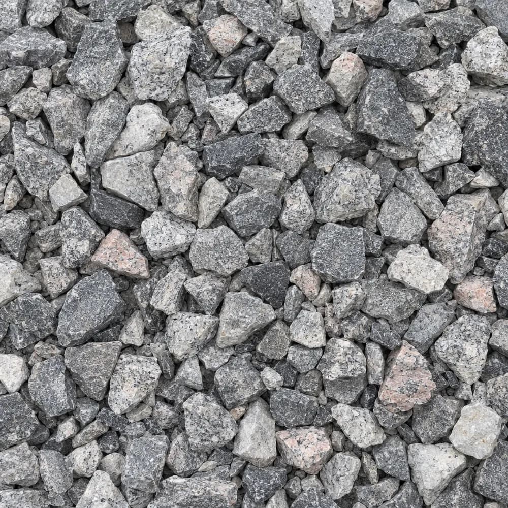 From$6162 ton delivered
#57 Crushed Stone
Gravel and Crushed Stone- Size
- 3/4 to 1 inch
- Weight
- 2,700 lb/yd³
- Color
- Gray
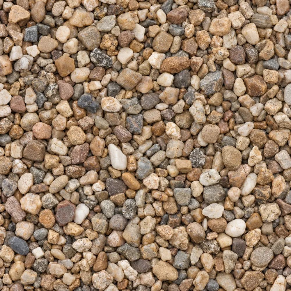 From$5162 ton delivered
Pea Gravel
Driveway and Landscaping- Size
- 3/8 inch
- Weight
- 2,600 lb/yd³
- Color
- Mixed tan and brown
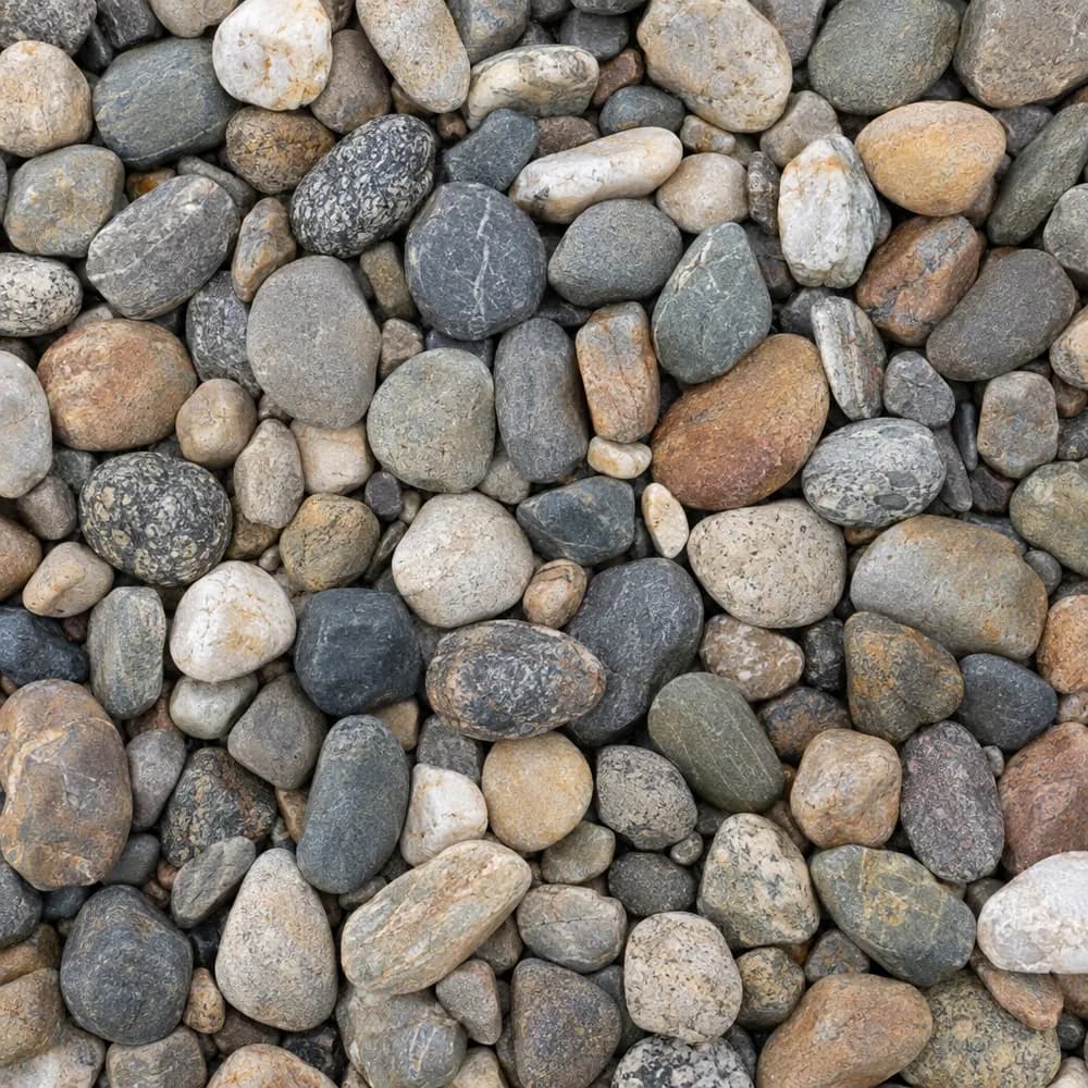 From$6042 ton delivered
River Rock
Driveway and Landscaping- Size
- 1 to 3 inches
- Weight
- 2,600 lb/yd³
- Color
- Mixed earth tones
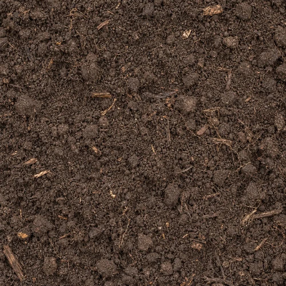 From$4942 ton delivered
Topsoil
Soil and Fill- Size
- Screened
- Weight
- 2,200 lb/yd³
- Color
- Dark brown
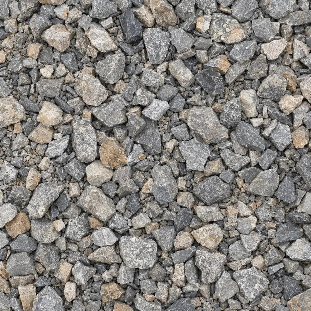 From$6162 ton delivered
Driveway Gravel
Driveway and Landscaping- Size
- 3/4 inch clean crushed
- Weight
- 2,700 lb/yd³
- Color
- Gray
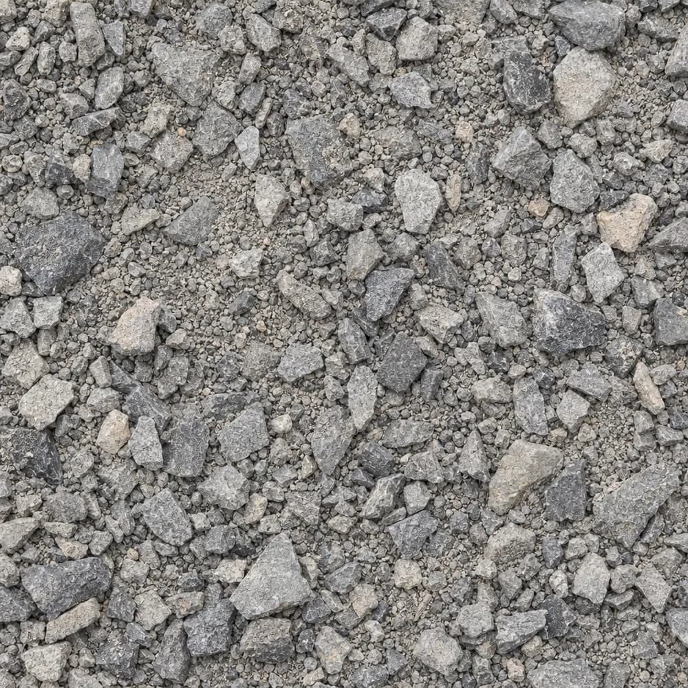 From$4992 ton delivered
Road Base
Drainage and Base- Size
- 3/4 inch minus
- Weight
- 2,800 lb/yd³
- Color
- Gray
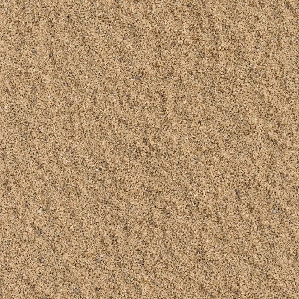 From$4772 ton delivered
Mason Sand
Sand- Size
- Fine
- Weight
- 2,700 lb/yd³
- Color
- Tan
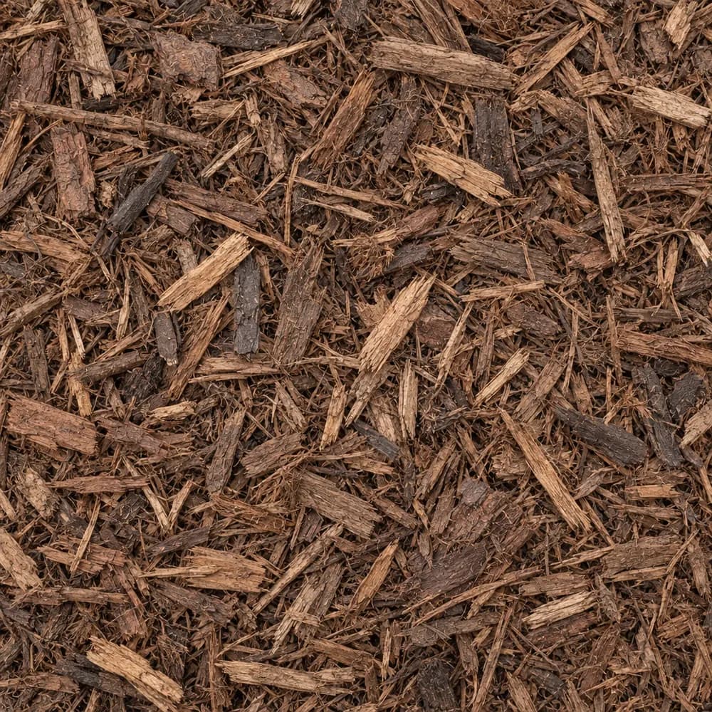 From$6812 yd delivered
Brown Shredded Mulch
Mulch and Wood- Size
- Double shredded
- Weight
- 800 lb/yd³
- Color
- Brown
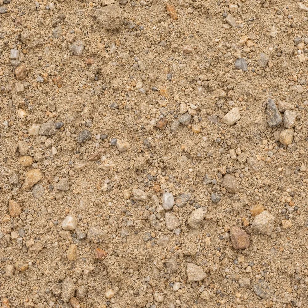 From$4452 ton delivered
Fill Sand
Sand- Size
- Unscreened
- Weight
- 2,700 lb/yd³
- Color
- Tan
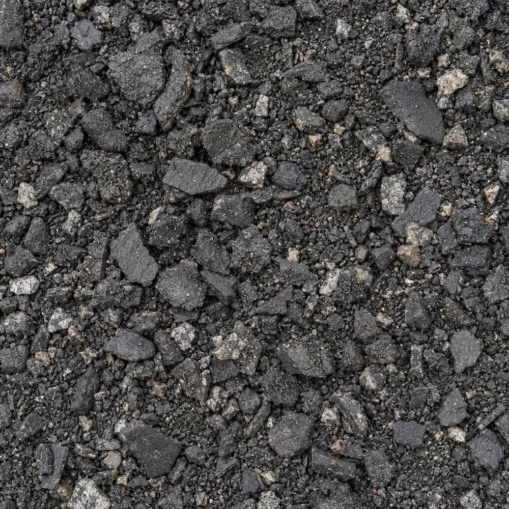 From$4472 ton delivered
Asphalt Millings
Driveway and Landscaping- Size
- 1 inch minus
- Weight
- 2,900 lb/yd³
- Color
- Black
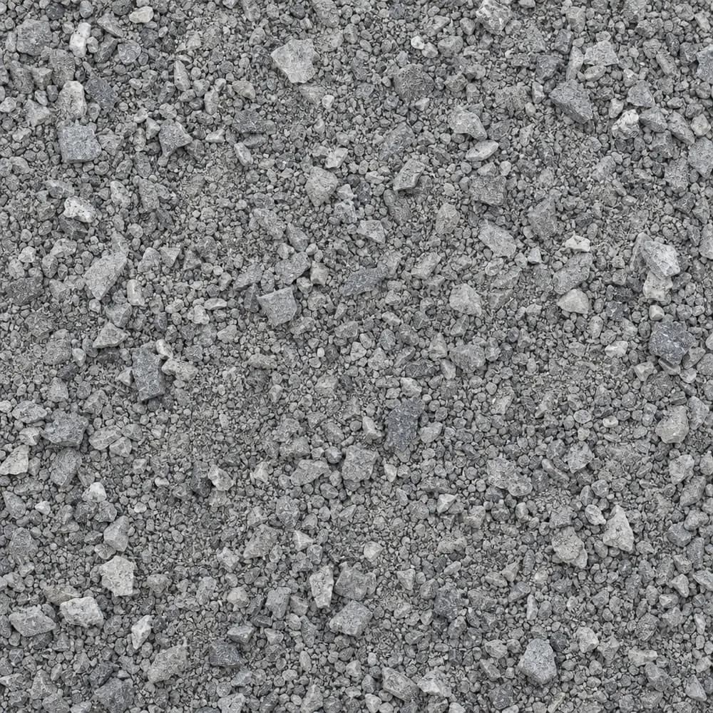 From$4652 ton delivered
Stone Dust Screenings
Drainage and Base- Size
- 1/4 inch and fines
- Weight
- 2,800 lb/yd³
- Color
- Gray
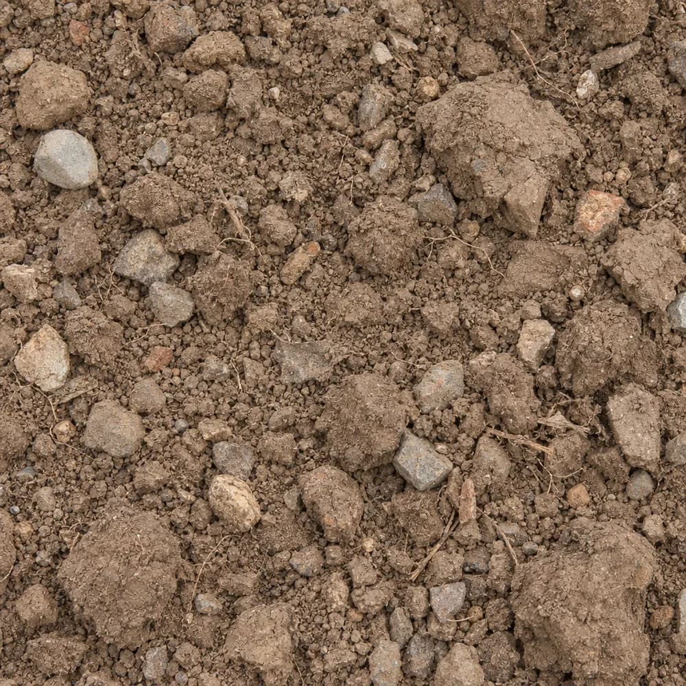 From$4652 ton delivered
Fill Dirt
Soil and Fill- Size
- Unscreened
- Weight
- 2,400 lb/yd³
- Color
- Brown
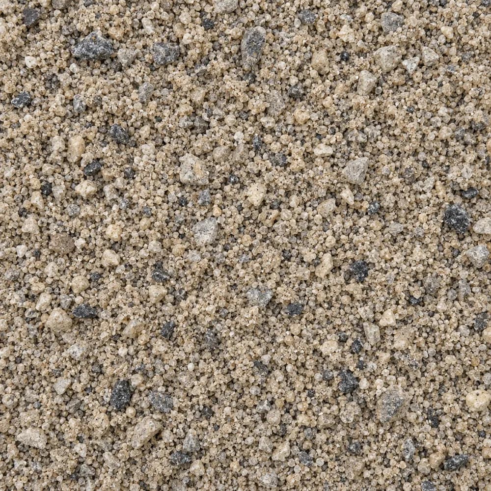 From$4752 ton delivered
Concrete Sand
Sand- Size
- Coarse
- Weight
- 2,700 lb/yd³
- Color
- Tan to gray
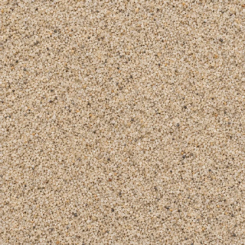 From$4782 ton delivered
Playground Sand
Sand- Size
- Fine, washed
- Weight
- 2,700 lb/yd³
- Color
- Light tan
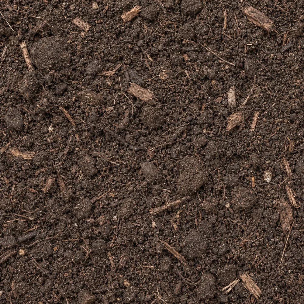 From$4922 ton delivered
Garden Soil
Soil and Fill- Size
- Blended
- Weight
- 2,000 lb/yd³
- Color
- Dark brown
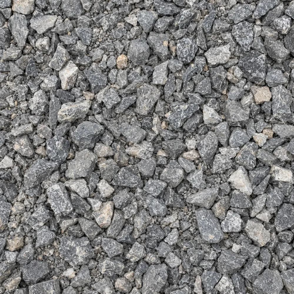 From$4932 ton delivered
#67 Stone
Gravel and Crushed Stone- Size
- 3/4 inch and under
- Weight
- 2,700 lb/yd³
- Color
- Gray
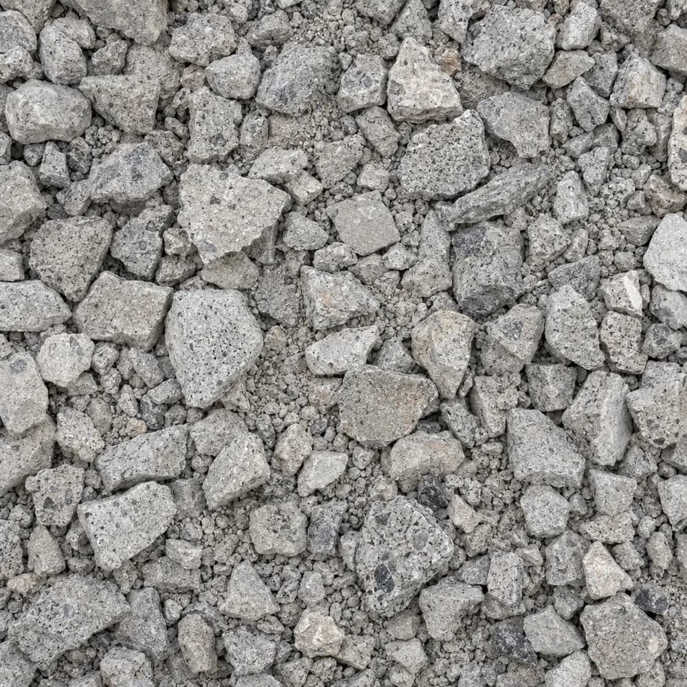 From$4932 ton delivered
Crushed Concrete
Driveway and Landscaping- Size
- 3/4 inch minus
- Weight
- 2,600 lb/yd³
- Color
- Light gray
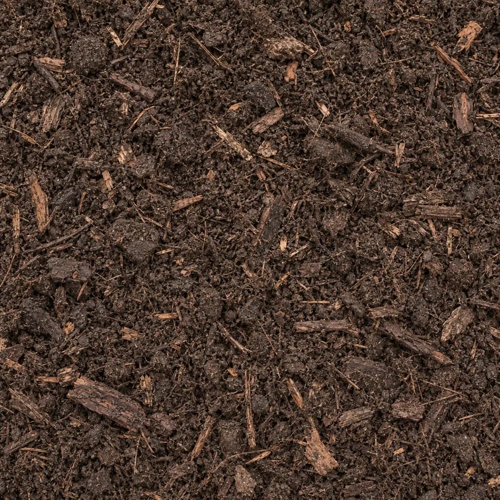 From$4942 yd delivered
Compost
Soil and Fill- Size
- Screened
- Weight
- 1,200 lb/yd³
- Color
- Dark brown
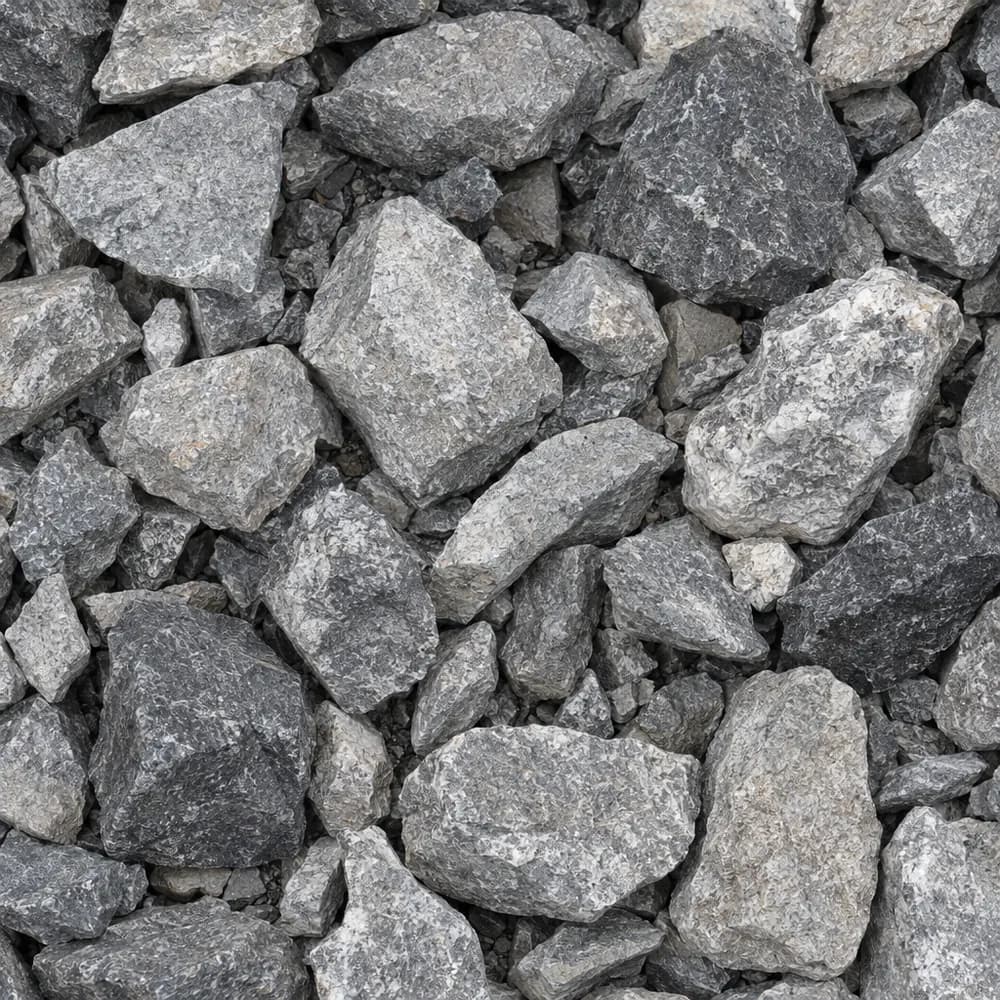 From$5062 ton delivered
#4 Crushed Stone
Gravel and Crushed Stone- Size
- 1-1/2 to 2-1/2 inches
- Weight
- 2,700 lb/yd³
- Color
- Gray
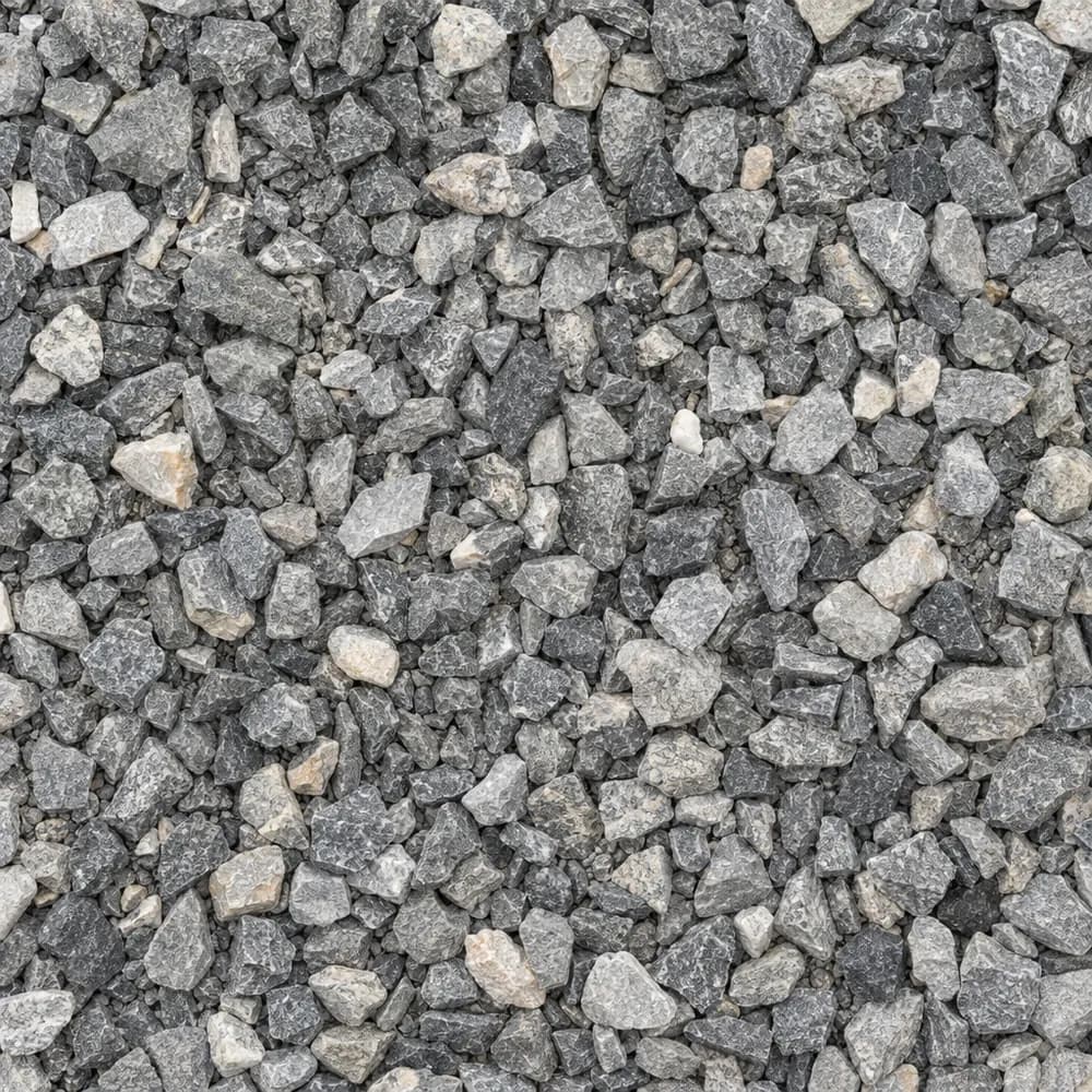 From$5142 ton delivered
3/8" Crushed Stone
Gravel and Crushed Stone- Size
- 3/8 inch
- Weight
- 2,700 lb/yd³
- Color
- Gray
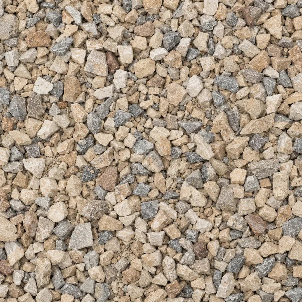 From$5162 ton delivered
Walkway Gravel
Driveway and Landscaping- Size
- 3/8 inch
- Weight
- 2,600 lb/yd³
- Color
- Mixed
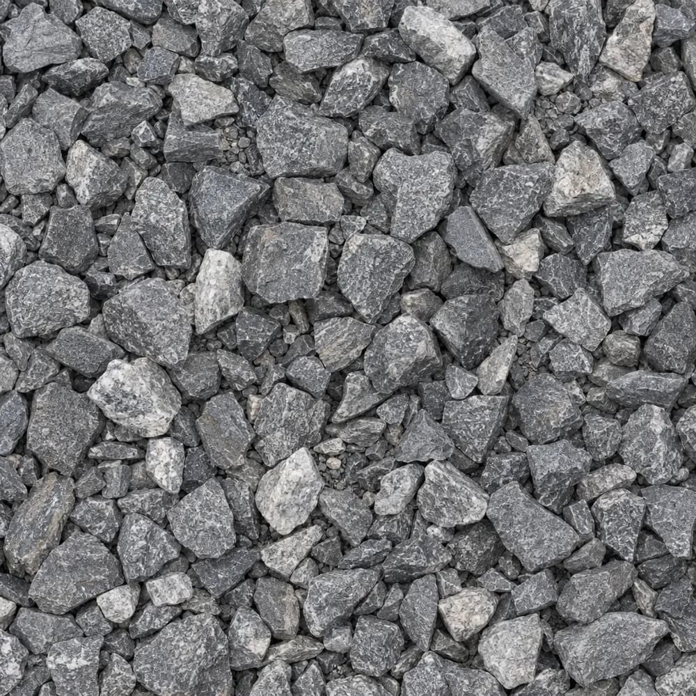 From$6182 ton delivered
3/4" Crushed Stone
Gravel and Crushed Stone- Size
- 3/4 inch
- Weight
- 2,700 lb/yd³
- Color
- Gray
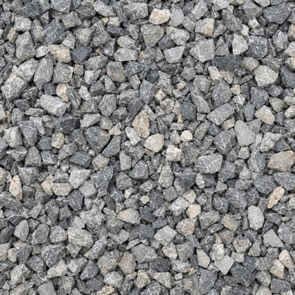 From$6192 ton delivered
#89 Crushed Stone
Gravel and Crushed Stone- Size
- 3/8 inch
- Weight
- 2,700 lb/yd³
- Color
- Gray
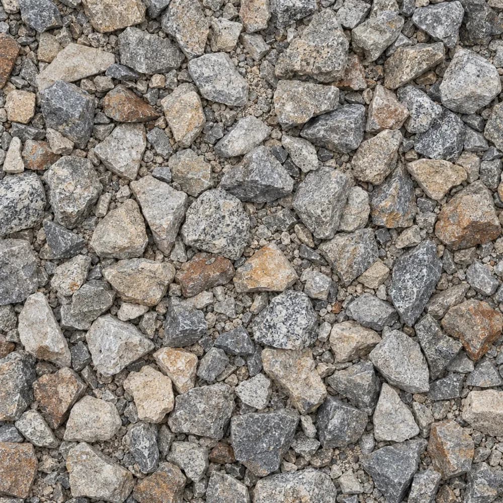 From$6292 ton delivered
1-1/2" Crushed Gravel
Gravel and Crushed Stone- Size
- 1-1/2 inch
- Weight
- 2,700 lb/yd³
- Color
- Gray to tan
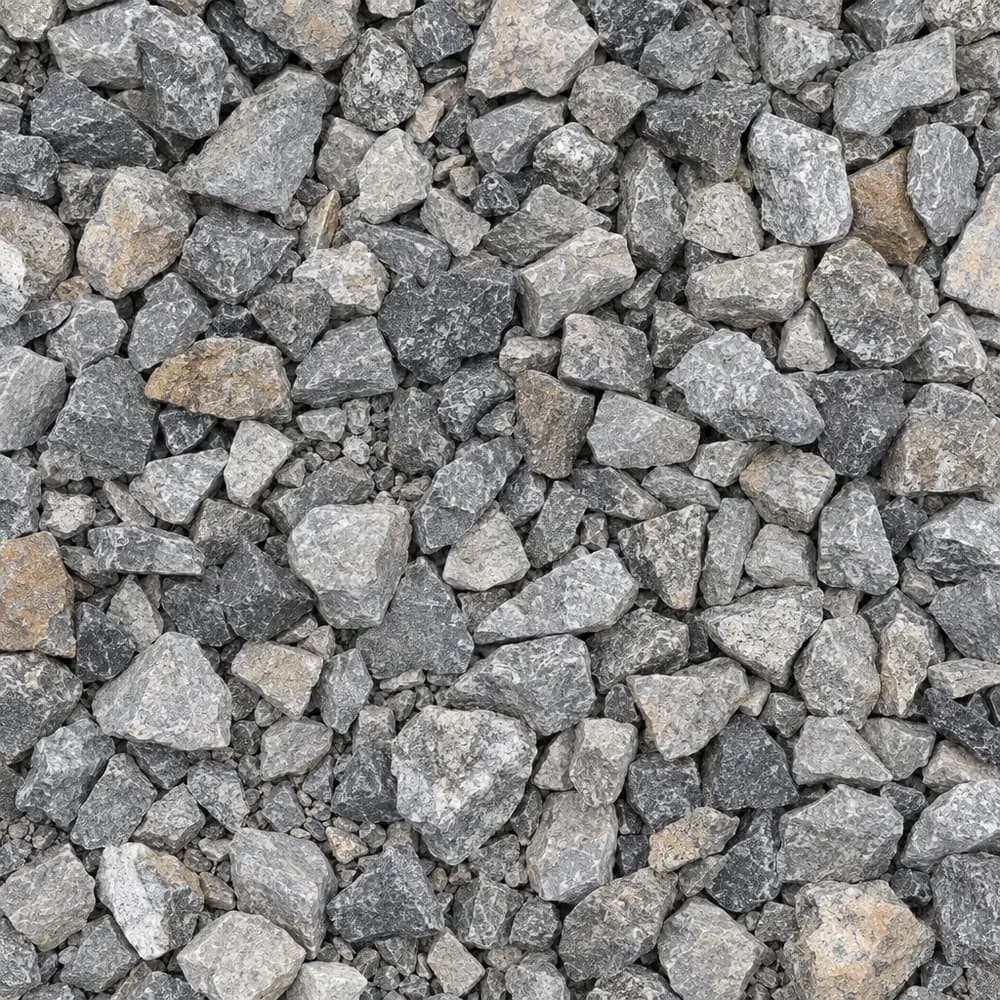 From$6302 ton delivered
Drain Rock
Drainage and Base- Size
- 3/4 to 1-1/2 inches
- Weight
- 2,700 lb/yd³
- Color
- Gray
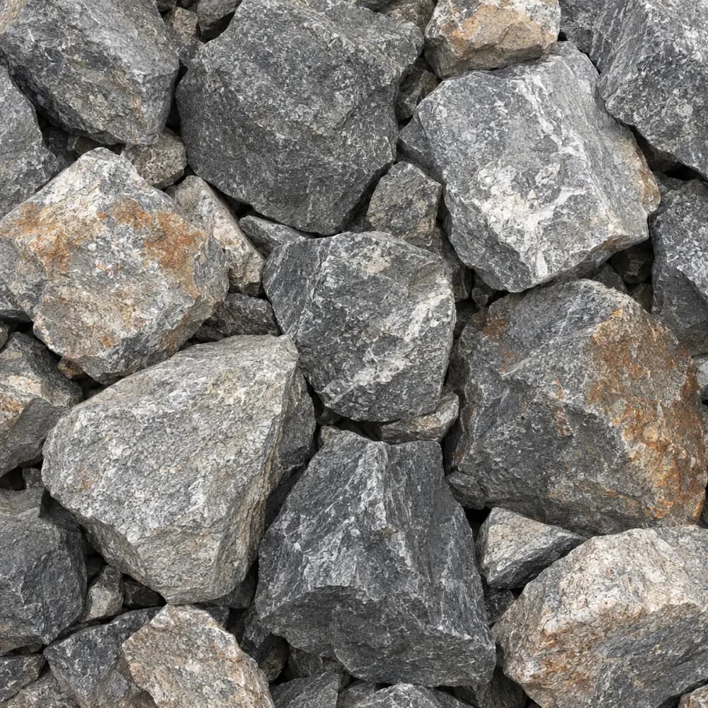 From$6342 ton delivered
Riprap
Drainage and Base- Size
- 6 to 12 inches
- Weight
- 2,700 lb/yd³
- Color
- Gray
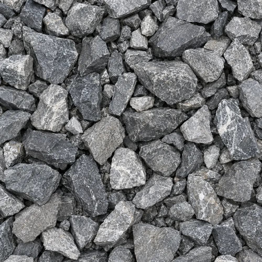 From$6372 ton delivered
Railroad Ballast
Gravel and Crushed Stone- Size
- 1-1/2 to 2-1/2 inches
- Weight
- 2,700 lb/yd³
- Color
- Gray
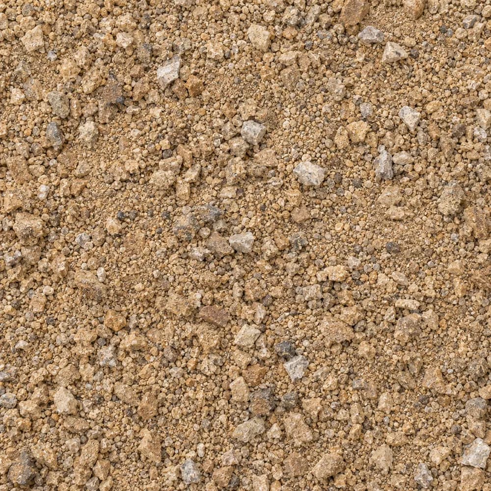 From$6382 ton delivered
Decomposed Granite
Driveway and Landscaping- Size
- 1/4 inch and fines
- Weight
- 2,500 lb/yd³
- Color
- Gold to tan
 From$6852 yd delivered
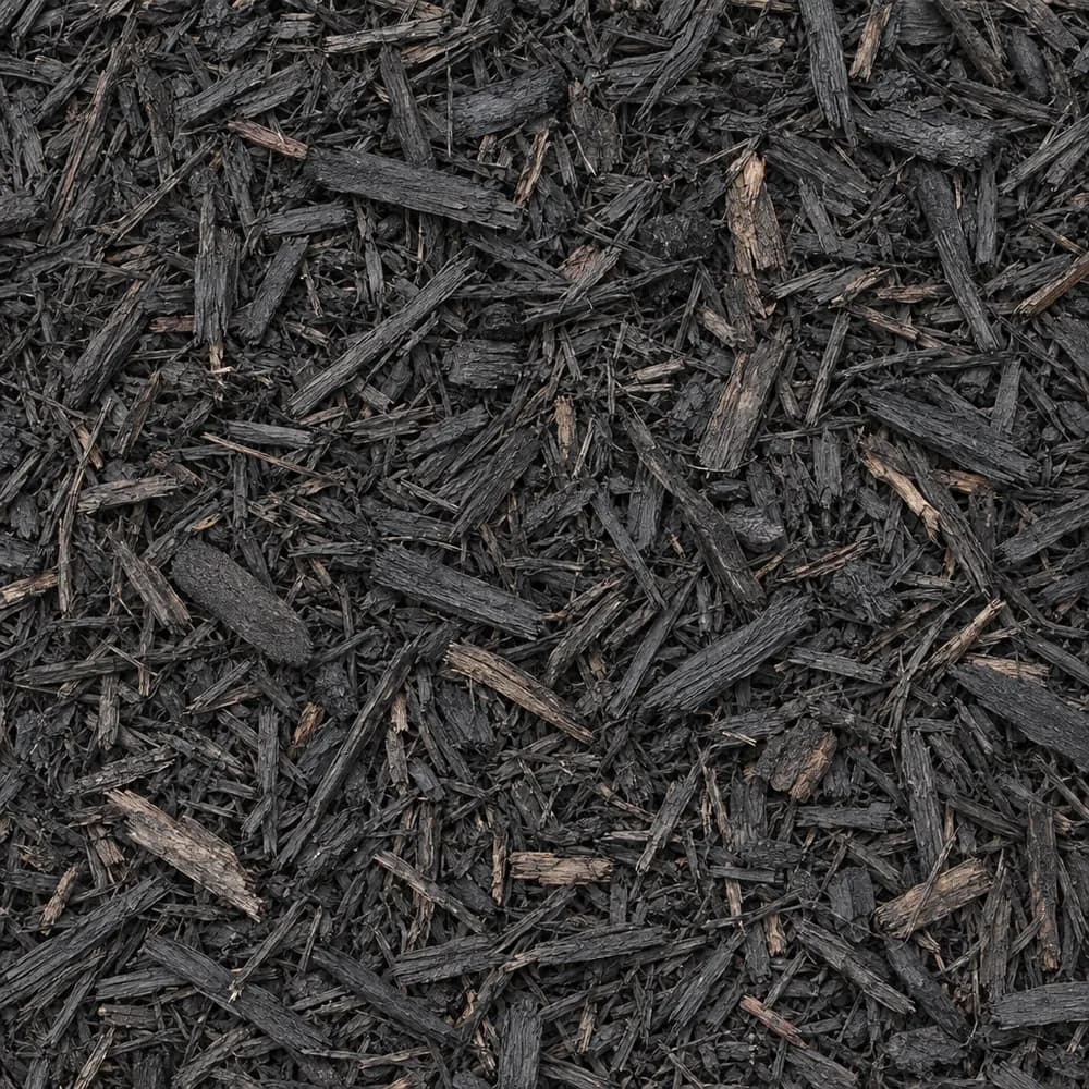
Black Shredded Mulch
Mulch and Wood- Size
- Double shredded
- Weight
- 800 lb/yd³
- Color
- Black
 From$7012 yd delivered
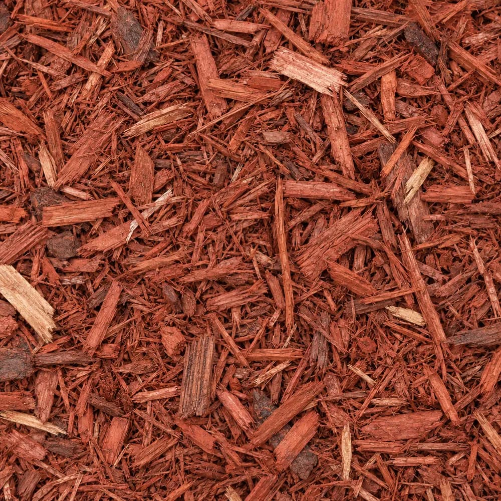
Red Mulch
Mulch and Wood- Size
- Double shredded
- Weight
- 800 lb/yd³
- Color
- Red
 From$7222 yd delivered
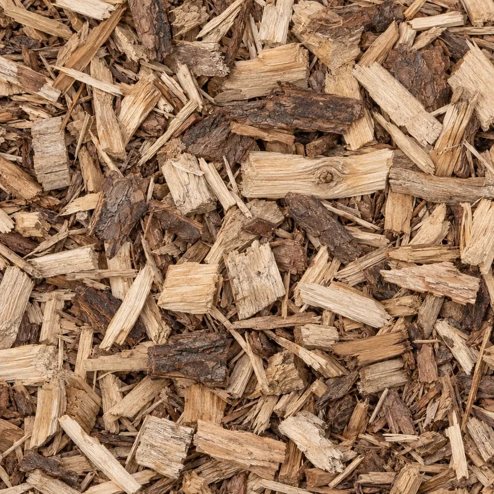
Wood Chips
Mulch and Wood- Size
- 1 to 3 inches
- Weight
- 700 lb/yd³
- Color
- Natural
Popular projects
Common gravel projects in Westminster
The ground and weather in Westminster
Platner loam that moves with moisture
At the center point of ZIP 80030, the USDA soil survey maps Platner loam, 0 to 3 percent slopes. The Platner series accounts for 85 percent of that map unit, so its name is a fair guide to the spot. A loam top layer holds a balanced mix of sand, silt and clay, which makes it easy to dig and quick to firm up under a plate compactor when the moisture is right.[1]
The figure that matters most at this spot is the shrink-swell rating. For the top 100 cm, the survey reports a linear extensibility of 7.3 percent and rates it high. Soil with that rating gains volume when it soaks up water and pulls back as it dries out, and the cycle repeats with every wet spell and dry stretch. A loam surface over a high rating can mean that clay-rich layers sit lower in the profile, deeper than a shovel usually goes.[1]
Platner is rated well drained, yet it falls in hydrologic group C, the slow-infiltration class. The two ratings describe different things. Well drained means water does not stay perched near the surface for long. Group C means a hard rain arrives faster than the ground can take it in, so much of a downpour runs across the surface toward the lowest edge of a yard.[1]
Measured at that same center point, the land surface rises 5,310 feet above sea level, a little more than a mile up.[2]
Weather logged at Northglenn
The NOAA normals station used for ZIP 80030 sits at Northglenn, CO, about 5 miles away. Its yearly averages come to 14.5 inches of precipitation and 44.8 inches of snowfall, a dry total paired with a snowy one.[3]
In a normal year the Northglenn low falls to 32 F or below on 149 days. Each of those cold nights can freeze water held in the top of a driveway or a flower bed, and a sunny afternoon can thaw it again. Stone that holds little water between its pieces comes through that cycle in better shape than fine, dusty material.[3]
The median last spring freeze at Northglenn lands on May 2. Its median first fall freeze arrives on October 11. Plan new sod, seed and tender plantings for the weeks after the May date, and spread a fresh layer of mulch ahead of the October one so roots head into winter covered.[3]
Snow along the Front Range can melt within days under strong sun, so a drive takes on water in short bursts all winter instead of one long spring soak. Plowed snow left along the edges of a gravel drive feeds that melt back into the surface, which is why a drive needs a slight crown down the middle.[3]
Building a drive on swelling ground
Movement in the subgrade is the main threat to any gravel drive on Platner loam. Begin by digging out the topsoil and any loose fill, then shape the subgrade so it falls away from the garage and the house. Keep lawn sprinklers aimed away from the edges. Soil that rates high for shrink-swell reacts most where it is watered unevenly, and a wet strip beside a dry one is where humps and dips start.[1]
Lay a woven geotextile over the shaped subgrade. On loam, the fabric keeps fines from working up into the stone when the ground turns soft, and it spreads wheel loads across a wider patch of soil. Above it, place 1-1/2" Crushed Gravel or #4 Crushed Stone as a coarse bottom course. Those large, angular pieces bridge small soft spots and give water room to move sideways out of the drive.[1]
Road Base comes next, spread in thin lifts and dampened before each pass of the compactor. Its blend of angular stone and fines packs into a dense layer that sheds rain away from the slow-infiltration soil below. Finish the top with Driveway Gravel or 3/4" Crushed Stone, and set the finished surface slightly above the yard on both sides so runoff leaves the drive instead of soaking into it.[1]
Road Base or Crushed Concrete for the middle layer
Either of two materials can form the compacted middle course in Westminster. Road Base is quarried stone crushed and blended with fines, and it packs hard and stays put once rolled. Crushed Concrete is broken, screened pavement that compacts in much the same way, with sharp edges that lock under traffic. On ground with a high shrink-swell rating, the depth and the compaction matter more than the choice, because a thin base flexes with the soil while a thick, well-rolled one spreads the movement out.[1]
Asphalt Millings are a third option for a rear parking pad or a long lane. Ground from old road surfaces, they bind together on warm days and leave a dark top that throws little dust. Millings and Crushed Concrete both suit well-drained Platner loam, as long as they go down over fabric with the same crown as a stone drive.[1]
Beds, paths and play areas
With only 14.5 inches of yearly precipitation at Northglenn, garden beds dry out fast once the snow is gone. Mixing Compost into the top of a bed helps loam hold water between waterings, and a layer of Brown Shredded Mulch, Black Shredded Mulch or Red Mulch slows the loss to sun and wind. Garden Soil makes a good fill for raised beds where the native ground is hard or full of old construction debris.[1],[3]
Keep thirsty beds a few feet back from the foundation. On soil that swells, steady watering right against a wall can push moisture under a slab. A strip of River Rock or Pea Gravel along the house gives a clean border that needs no water, with landscape fabric under it to hold back weeds.[1]
For paths, Walkway Gravel, Decomposed Granite and Stone Dust Screenings each pack into a firm surface for foot traffic. Decomposed Granite fits the dry Front Range look and settles into a tight, sandy crust when wetted and rolled. Wood Chips cover a play area or a back corner, and Playground Sand fills a sandbox.[1]
Where roof runoff pools on group C soil, a trench of Drain Rock or #57 Crushed Stone wrapped in fabric carries the water to a lower spot. A splash pad of River Rock under each downspout keeps the stream from cutting a hole in the bed.[1]
Homes in ZIP 80030
ZIP 80030 is in Adams County. Census figures put 6,635 housing units in the ZIP, and 53 percent of them are detached single-family houses.[4]
The median construction year for homes in ZIP 80030 is 1965, and owners live in 56 percent of the occupied ones.[4]
Westminster as a whole counts 50,471 housing units. Detached houses make up 54 percent of the city's homes, and the citywide median year built is 1987, newer than the ZIP's.[4]
Drives and walks poured decades ago may have settled or cracked. A rebuilt gravel apron or a path of Walkway Gravel can replace a broken slab without new concrete work.[4]
For its own roads, the Colorado Department of Transportation calls for Aggregate Base Course, Class 6, under Section 304 of its Standard Specifications for Road and Bridge Construction 2025.[5]
The numbers behind this page
| Fact | Value | Applies to | Source |
|---|---|---|---|
| Soil map unit at the ZIP's center point | Platner loam, 0 to 3 percent slopes | City center point | [1] |
| Main soil series | Platner (85 percent of the map unit) | City center point | [1] |
| Texture of the top mineral soil layer | loam | City center point | [1] |
| Shrink-swell in the top 100 cm (linear extensibility) | high, 7.3 percent | City center point | [1] |
| Drainage class | well drained | City center point | [1] |
| Hydrologic soil group | C (slow infiltration) | City center point | [1] |
| Ground elevation at the ZIP's center point | 5,310 feet | City center point | [2] |
| NOAA normals station used | Northglenn, CO, about 5 miles away | Weather station | [3] |
| Average yearly precipitation | 14.5 inches | Weather station | [3] |
| Average yearly snowfall | 44.8 inches | Weather station | [3] |
| Days a year the low reaches 32 F or colder | 149 days | Weather station | [3] |
| Median date of the last spring freeze (32 F) | May 2 | Weather station | [3] |
| Median date of the first fall freeze (32 F) | October 11 | Weather station | [3] |
| Housing units in ZIP 80030 | 6,635 | This ZIP | [4] |
| Share of homes in ZIP 80030 that are detached single-family houses | 53 percent | This ZIP | [4] |
| Median year homes in ZIP 80030 were built | 1965 | This ZIP | [4] |
| Share of occupied homes in ZIP 80030 lived in by the owner | 56 percent | This ZIP | [4] |
| Housing units in Westminster | 50,471 | Whole city | [4] |
| Share of homes in Westminster that are detached single-family houses | 54 percent | Whole city | [4] |
| Median year homes in Westminster were built | 1987 | Whole city | [4] |
| Colorado Department of Transportation aggregate base specification | Aggregate Base Course, Class 6, Section 304, Standard Specifications for Road and Bridge Construction 2025 | State | [5] |
Sources
- USDA NRCS Soil Data Access (SSURGO soil survey), retrieved 2026-10-31
- USGS Elevation Point Query Service (3DEP), retrieved 2026-10-31
- NOAA NCEI U.S. Climate Normals 1991-2020, annual and seasonal, retrieved 2026-10-30
- U.S. Census Bureau, American Community Survey 2020-2024 5-year estimates (tables B25001, B25003, B25024, B25035), retrieved 2026-10-30
- Colorado Department of Transportation, Standard Specifications for Road and Bridge Construction 2025, Section 304, retrieved 2026-10-29
Point and station values describe one spot, not every lot in town. Check your own site before you build.
Nearby
Nearby cities we serve
Delivery
Your delivery in Westminster
- Minimum order
- 2 tons or 2 cubic yards
- Delivered price from
- $445 for 2 tons of Fill Sand
- Priced from
- Westminster, CO ladder (this city)
We coordinate the truck from the yards that serve Westminster; we do not run a yard in town.
Coverage map
Where we deliver in Westminster
The drawing shows the nearest cities we price around Westminster, at true bearing and distance. Outside the rings, enter your ZIP and we quote the haul from the nearest ladder.
Need bulk material delivered in Westminster?
Delivered prices on every card, or send the job and we price it by hand.
Tools
Helpful calculators
Frequently Asked Questions
Which gravel holds up on swelling soil in Westminster?
On ground that rates high for shrink-swell, like the Platner loam at the center point of ZIP 80030, use a thick, layered build. Put fabric on the subgrade, a coarse course of 1-1/2" Crushed Gravel or #4 Crushed Stone, then compacted Road Base, then Driveway Gravel on top. Keep water away from the edges so the soil under the drive stays at an even moisture.
What goes under pavers here?
Pavers need a compacted base of Road Base or Crushed Concrete, a thin screeded bed of Concrete Sand, and a slight fall away from the house. The Northglenn station logs 149 days a year with a low at or below 32 F, and a well-drained base keeps pavers from heaving through those freezes. Fabric under the base helps on loam.
When should I plant or lay sod in Westminster?
The NOAA station at Northglenn has a median last spring freeze of May 2 and a median first fall freeze of October 11. Lay sod and sow seed after the May date, once the soil has warmed. Spread Topsoil first over thin or bare spots, and rake in Compost to give new roots an easier start in dry air.
How do I stop a gravel drive from rutting in spring?
Ruts start where water sits in the base. Build the drive with a crown so melting snow runs off both sides, use Road Base compacted in thin lifts, and keep sprinklers and downspouts aimed away from the edges. Group C soil takes in rain slowly, so a side trench of Drain Rock helps carry runoff away.
Is Decomposed Granite a good choice for paths in Westminster?
Yes. Decomposed Granite packs into a firm, natural-looking path and suits a station average of 14.5 inches of yearly precipitation. Wet it and roll it in layers, edge it with steel or stone, and set it slightly above the soil so snowmelt drains off. Stone Dust Screenings work the same way with a grayer color.
How much snow should a gravel drive be ready for?
The Northglenn station averages 44.8 inches of snow a year. Plow with the blade raised a little, or use a shovel with a plastic edge, so the top layer of stone stays in place. A firm surface of Driveway Gravel over Road Base takes plowing far better than loose Pea Gravel does.